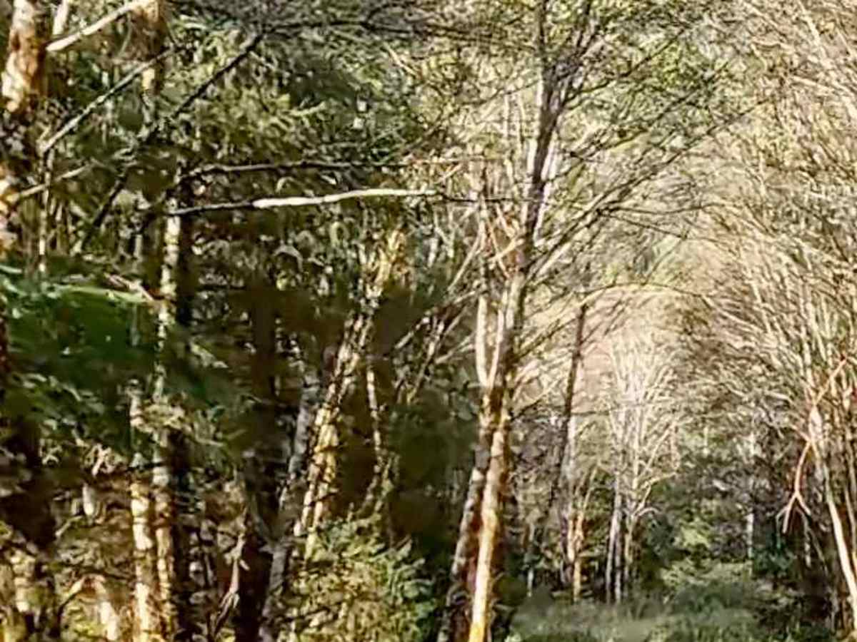
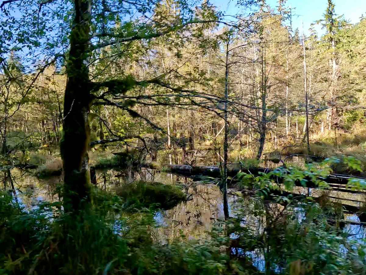
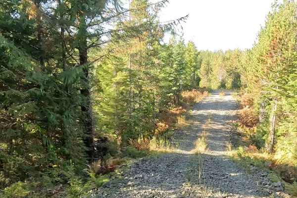
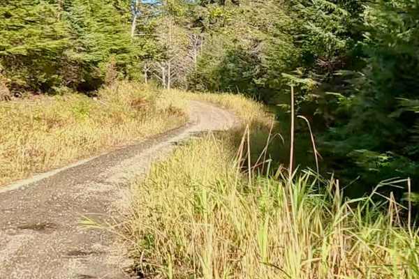
Trail Overview
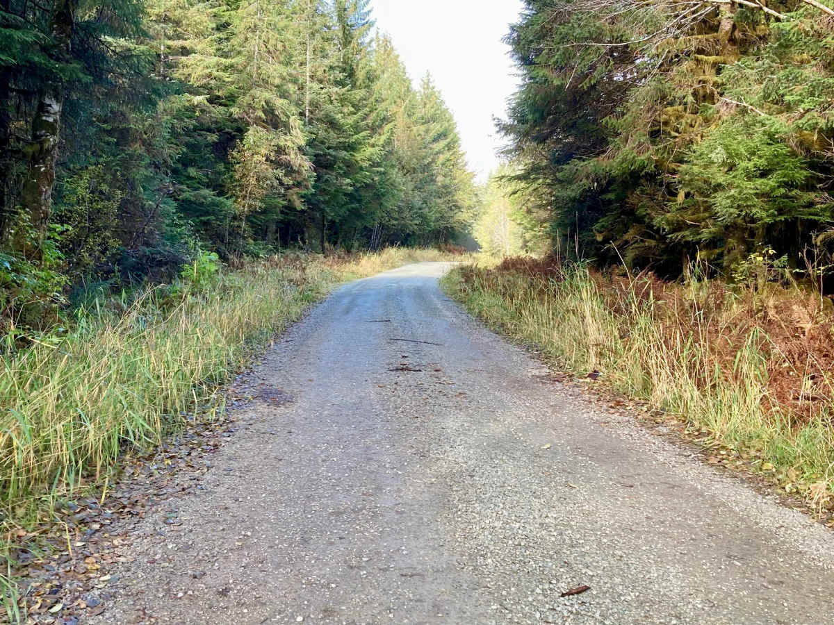
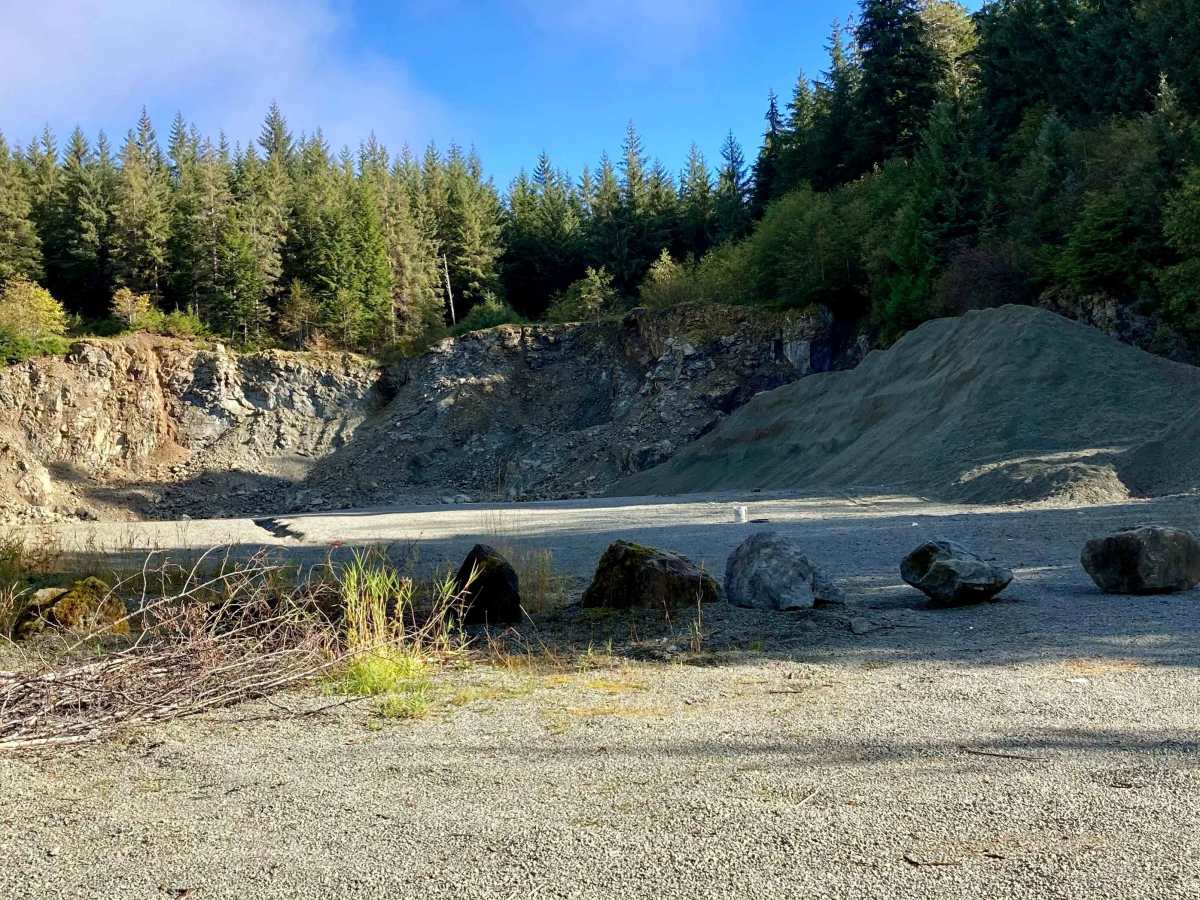
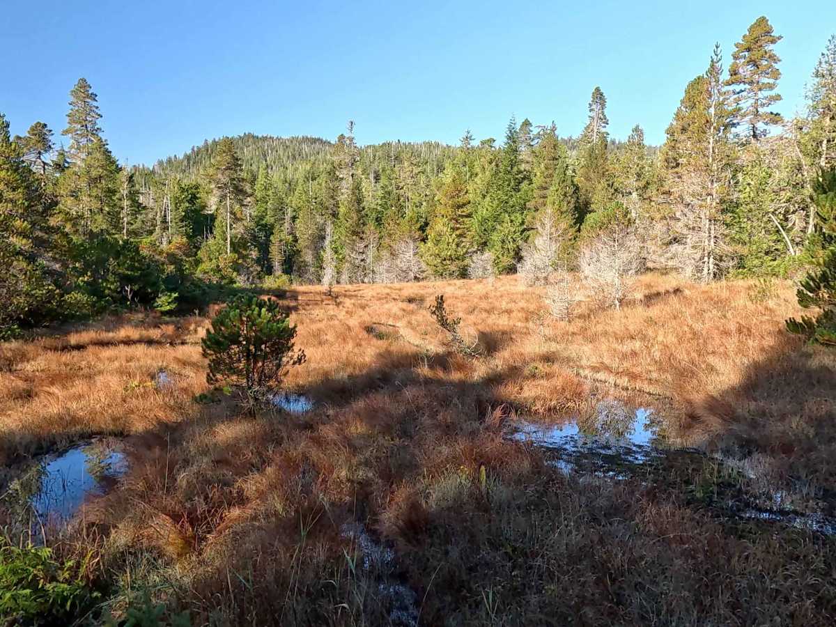
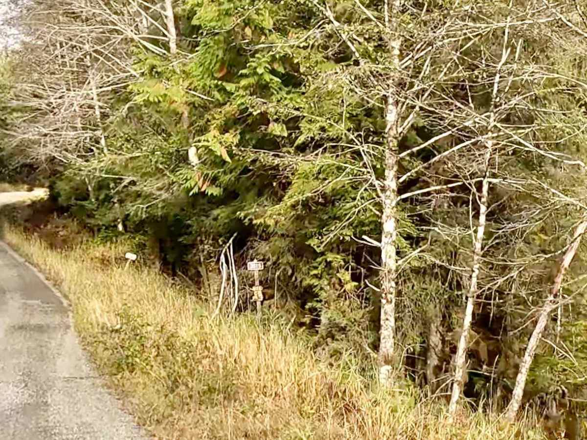
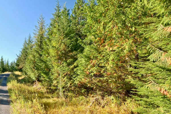
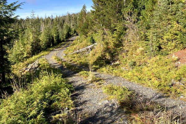
North Thorne River Road (FS 3015000) is accessed from South Thorne Bay Road and has six roads that attach to it, many with additional Spur Roads. There was active logging on one of the Roads and a sign with the Channel number to monitor at the entrance. Having a CB and a Radio for monitoring is essential in this area, as there is limited, if any cell service here. **For safety when traveling on roads used by active logging verify your pull off points ahead of time and keep your radio tuned to the channel being used** This is a one lane gravel road with lots of pot holes that starts out next to an open area with space to pull over next to an old Rock Pit that is set up for use as a shooting range. This road has gentle hills with elevation gain from 52 to 427 feet as it winds between creeks, ponds, and other roads. There are decent pull-off areas between stretches of narrow road passing by muskeg and forested areas, to open logged areas with deeper ditches and cross creeks. Toward the end of this road, there is tall grass on the sides and centerline growing, and it ends with a turnaround in front of a currently dry creek bed. The trail continues, but has not seen any use for a while, with the vegetation that has grown over it, and is still passable by a vehicle with high clearance. This unused section of the road is next to a creek and looks like water overflows on the trail at times, with the water debris still evident crossing the road. The road continues up a small slope and then abruptly stops at two large boulders and a drop-off to the creek below, where it looks like there was previously a bridge, as it’s much higher than the creek. You can see Sitka spruce, Western Hemlock, Red cedar, Yellow cedar, poplar, and birch, as well as lichen, moss, ferns, and dense old-growth forests and flowers in this temperate rainforest. There is wildlife in this area. Be safety-minded for Black bears, changing weather conditions, and sudden changes to the road due to rain and landslides. Always plan your trip with basic survival items and local wildlife safety in mind, in case you get stuck in-between roads during a road washout or landslide. There are limited resources here for clearing roads. It is advisable to have a contact and some form of tracker so that your contact can make sure you are on plan and not stuck somewhere. This road connects to other recreational roads and is not a main road for travel. Prince of Wales has Black Bear, Sitka black-tailed deer, Alexander Archipelago Wolves, Bald Eagles, Osprey, Mink, Marten, Beaver, Ermine, and Flying Squirrels, along with a variety of Marine life and Sea Birds. Salmon, Trout, and Steelhead run in the rivers and creeks here. Weather plays a part in the level of difficulty, as this is in a rainforest, and a lot of these roads go through areas of muskeg/wetlands and hills. There are great views of tree-lined, winding roads, hills, and creeks. Tall grass, ferns, a variety of trees, lichens, moss, muskeg, forest, and flowers can be seen, as well as scenic landscapes. Warnings: Keep on the road and watch hillsides for landslides, watch for falling or down trees, and be cautious of water over the roadway. Watch for signs of road deterioration or washouts due to heavy rainfall. No cell service noted. Check weather conditions and be prepared for rain, fog with low visibility, and lower temperatures. It is a rainforest. Suggested best time of year: June - October.