Trail Overview
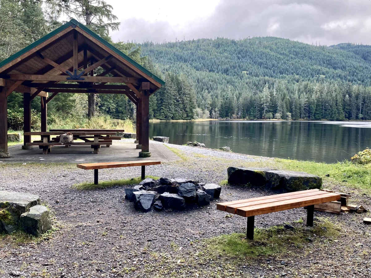
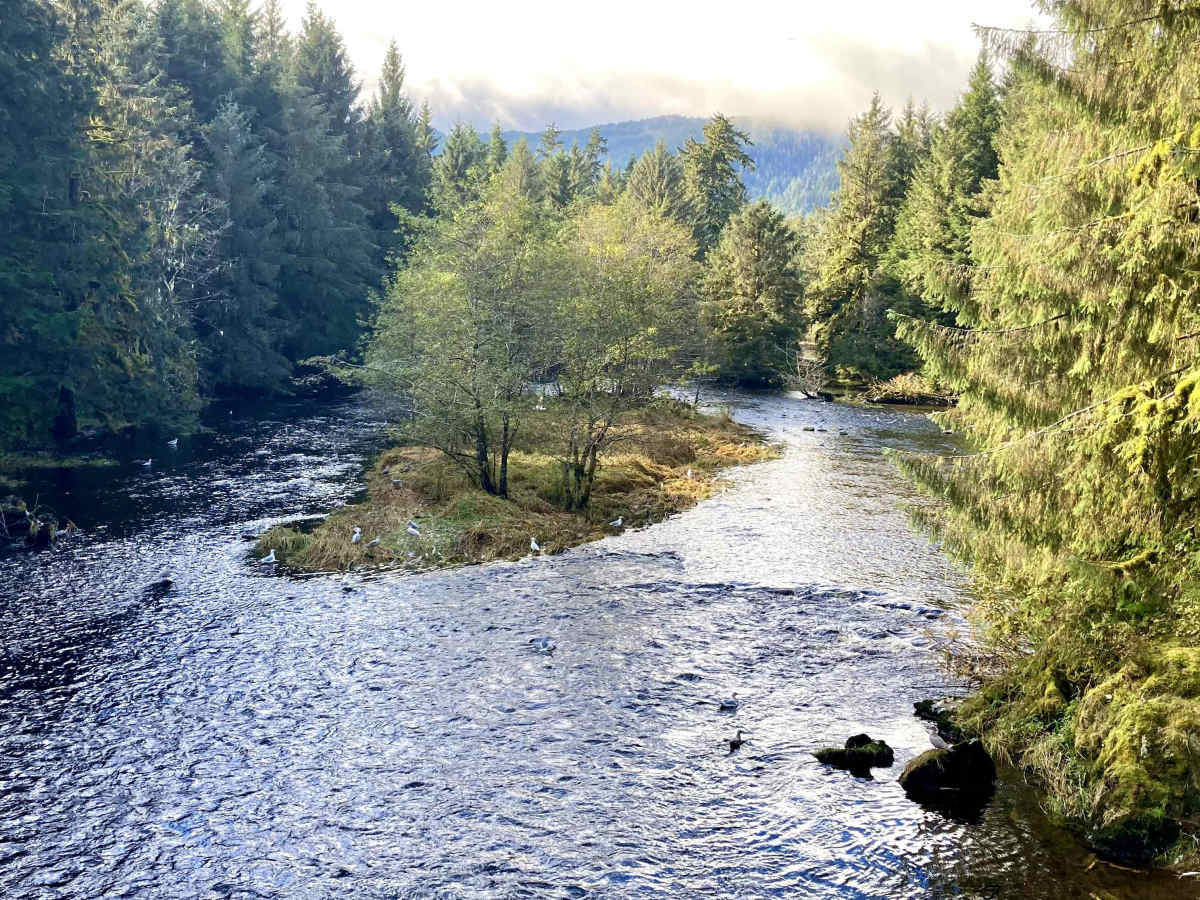
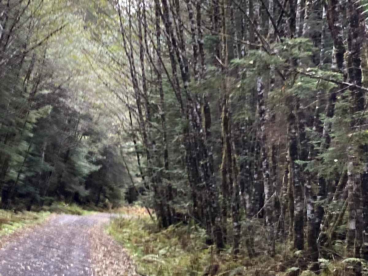
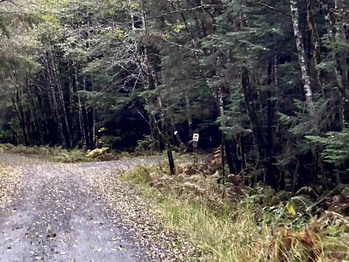
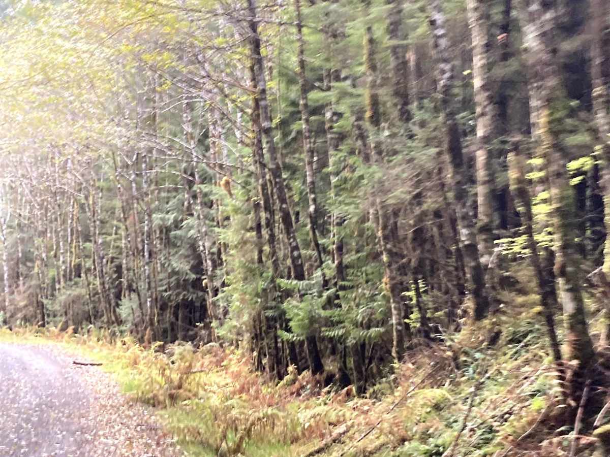
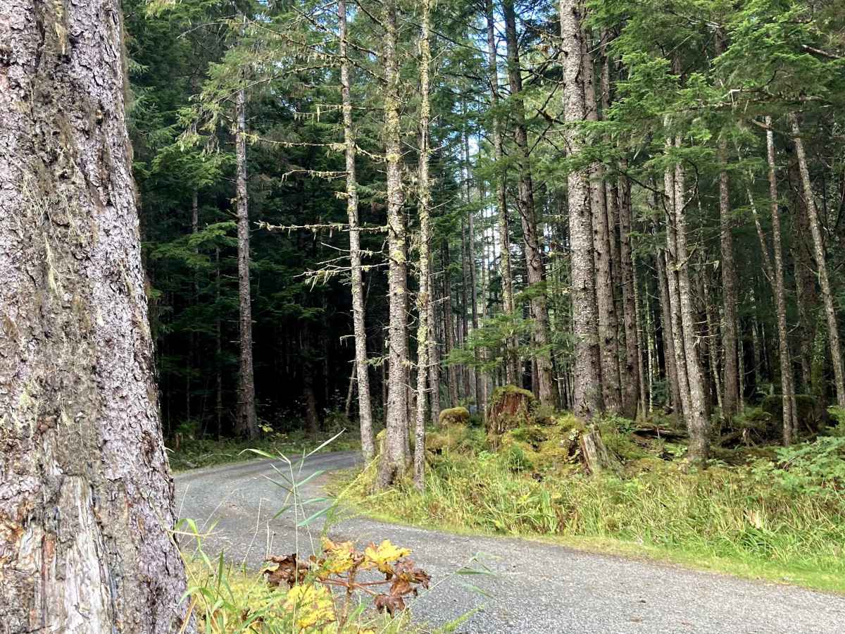
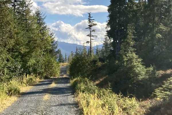
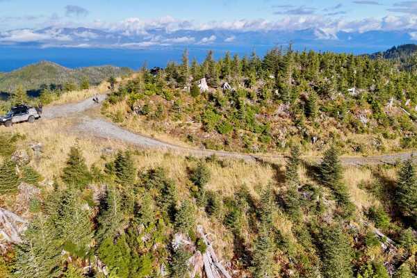
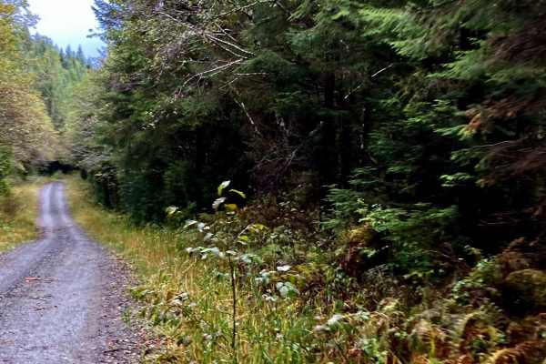
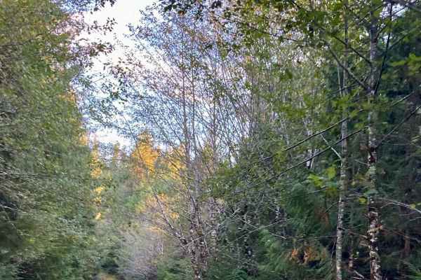
Eagle Creek (FS 3030100) can be accessed by Coffman Cove Loop. This one-lane gravel road gives access to Luck Lake Access Day Use Picnic Area (FS 3030105) with an outhouse and covered eating area next to the lake access, and a nice rock beach with two separate picnic or day camp sites on the side. There is also an old cabin down the beach. This road also connects to East Luck Lake as well as 2 ATV/Motorcycle trails. This road begins as a one-lane gravel road lined with a variety of trees, and the first road to your right is Luck Lake Access. After passing Luck Lake Access, the road winds around and over Eagle Creek before ending at the 2nd ATV Motorcycle road and starting at East Luck Lake. This road is very scenic and connects to multiple recreational sites. As you travel this scenic hilly road, the elevation is between 91 to 275 feet. You can see Sitka spruce, Western Hemlock, Red cedar, Yellow cedar, poplar, and birch, as well as lichen, moss, ferns, and dense old-growth forests and flowers in this temperate rainforest. There is wildlife in this area. Be safety-minded for Black bears, changing weather conditions, and sudden changes to the road due to rain and landslides. Always plan your trip with basic survival items and local wildlife safety in mind, in case you get stuck in-between roads during a road washout or landslide. There are limited resources here for clearing roads. It is advisable to have a contact and some form of tracker so that your contact can make sure you are on plan and not stuck somewhere. This road connects to other recreational roads and is not a main road for travel. Prince of Wales has Black Bear, Sitka black-tailed deer, Alexander Archipelago Wolves, Bald Eagles, Osprey, Mink, Marten, Beaver, Ermine, and Flying Squirrels, along with a variety of Marine life and Sea Birds. Salmon, Trout, and Steelhead run in the rivers and creeks here. Weather plays a part in the level of difficulty, as this is in a rainforest, and a lot of these roads go through areas of muskeg/wetlands and hills. There are great views of tree-lined, winding roads, hills, and creeks. Tall grass, ferns, a variety of trees, lichens, moss, muskeg, forest, and flowers can be seen, as well as scenic landscapes. Warnings: Keep on the road and watch hillsides for landslides, watch for falling or down trees, and be cautious of water over the roadway. Watch for signs of road deterioration or washouts due to heavy rainfall. No cell service noted. Check weather conditions and be prepared for rain, fog with low visibility, and lower temperatures. It is a rainforest. Suggested best time of year: June - October.