Trail Overview
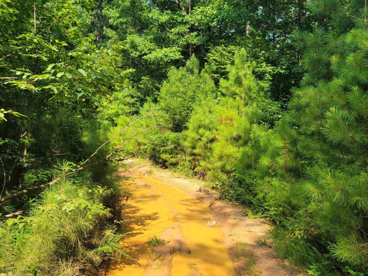
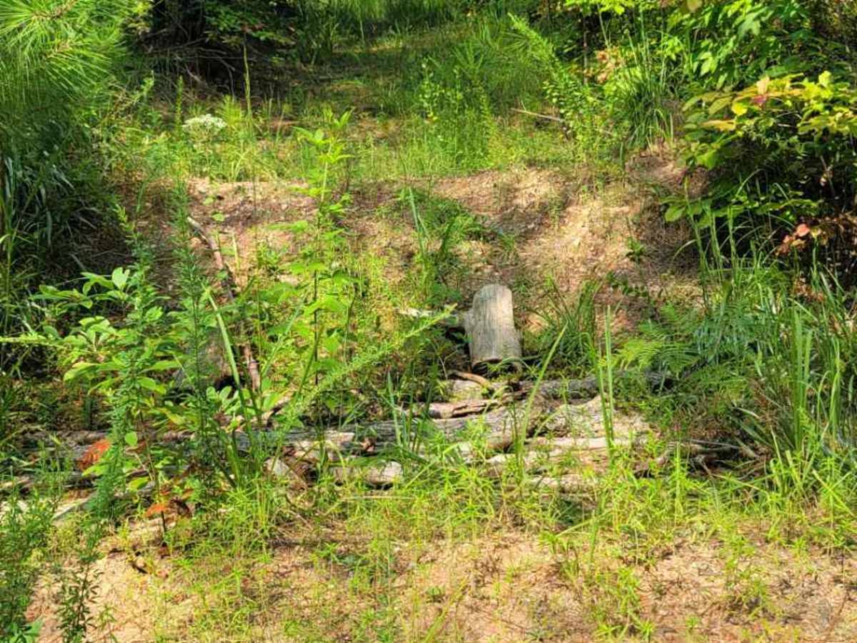
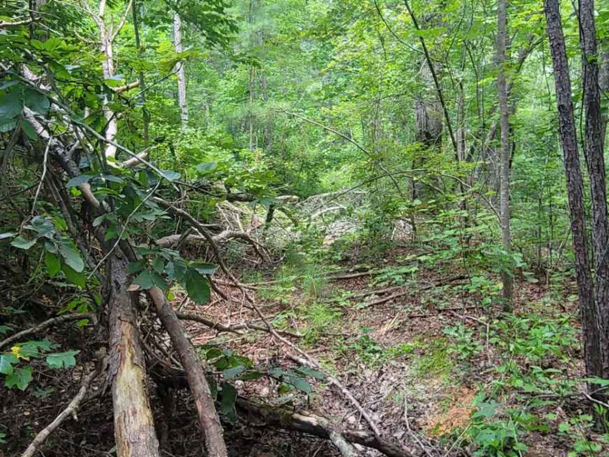
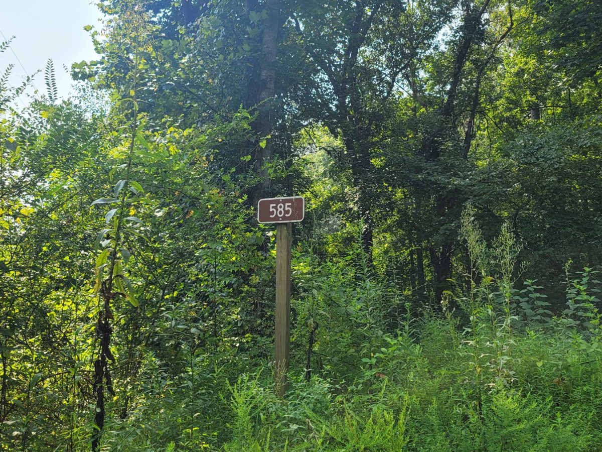
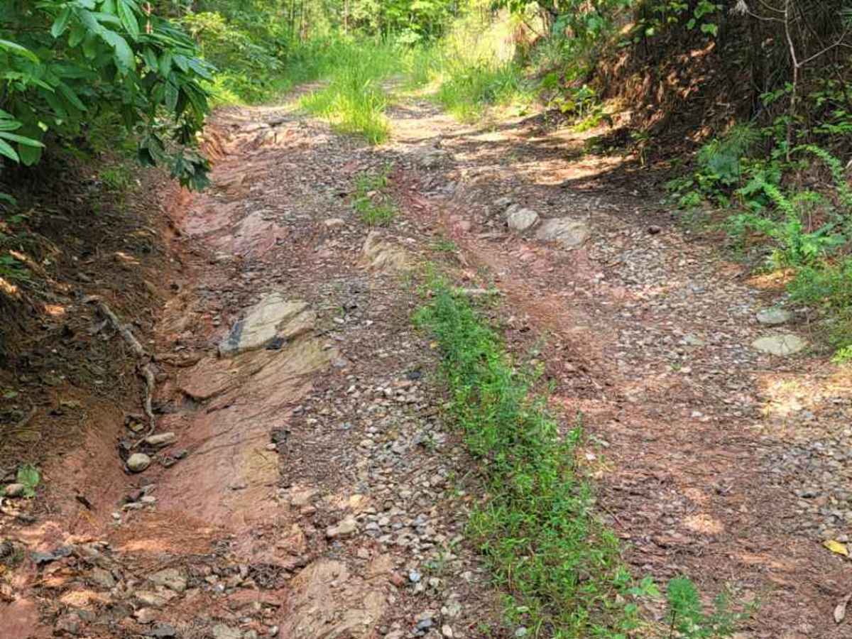
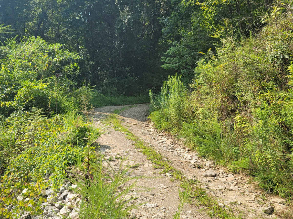
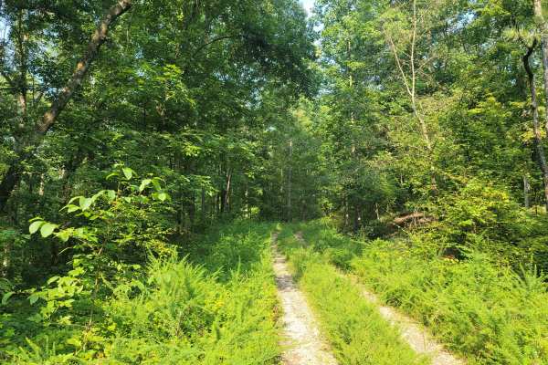
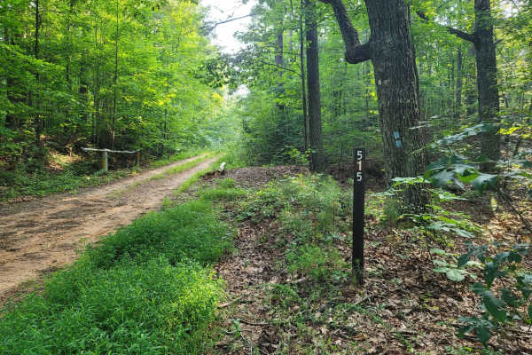
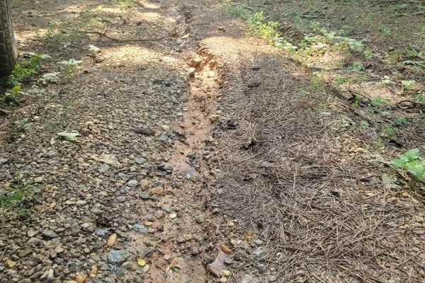
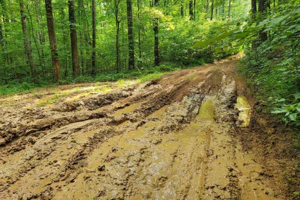
Bring your chainsaws and winches, this trail is a jungle! The entrance is deceiving for 516, as it is a smooth start with beautiful water runoff from the surrounding mountains. There are a few other spurs off this trail that are not for motor vehicle use according to the USFS Motor Vehicle Use Map. The route is quite overgrown and has not been frequently traveled over the past few years, mainly due to two large mounds of dirt that have been pushed to the side to stop travelers from experiencing this trail. Fear not, as 516 is indeed a US Forest Service Road and there are no signs stating to keep out or that it's not open. Longer wheelbase vehicles with lesser ground clearance will have a hard time getting over the dirt mound within the first mile of the trail. If you can make it past this point, expect pinstripes! This trail is very tight and overgrown, hence the description of being very jungle-like. There are multiple fallen tree crossings and they are not just small ones. Mature, decades-old hardwoods require strenuous use to pass through. There are a few deep mud holes, but all seem to have a hard bottom. This trail will dead end in private property on the backside of the Cider Ridge Subdivision. Do not attempt to cross the backyard of the private property. It's open 10/01-04/01.