
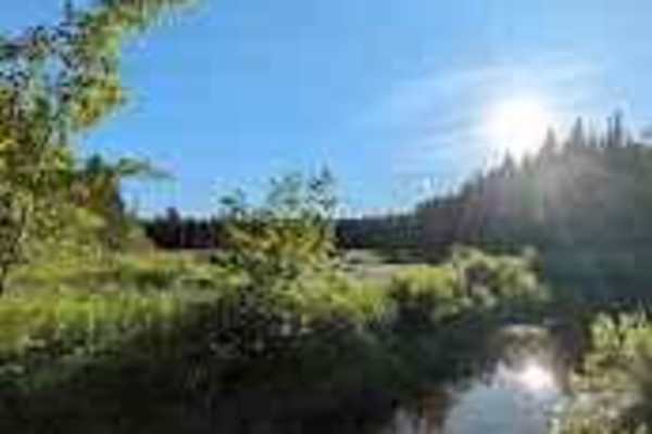
Off-Road Trails
Near Starlight Village, New Brunswick
Off-Road Trails Near Starlight Village, New Brunswick
Discover the best offroad trails near you. Browse trail maps, check difficulty ratings, and find your next adventure — whether you're looking for a quick ride or an all-day expedition.
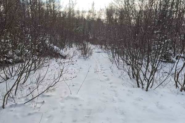
Rainbow Drive Road
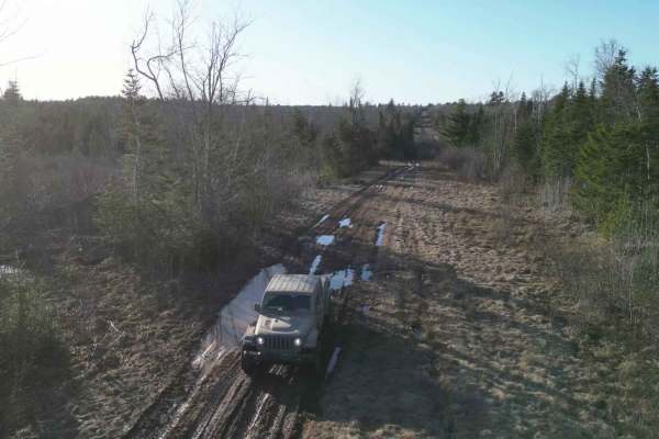
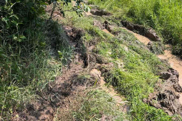
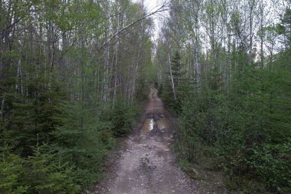
Entering from Rainbow Drive, this trail is incredibly rocky with a few puddles. The trail is fairly wide, but the pace is slow on account of the bumpy ride. There are many twists and turns and you wind up coming out near Hanwell Road. All puddles have a rocky bottom, so you don't need to worry about...
Learn more about Rainbow Drive Road
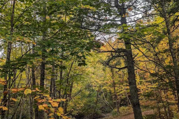
Sunshine Estates Trail
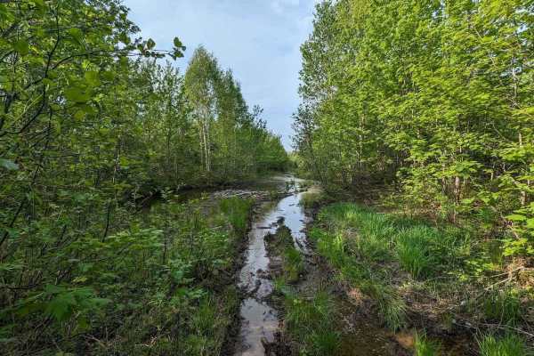
This trail takes you from the heart of New Maryland out to Wilsey Road. There are some technical water crossings and steep angles. It's a perfect trail for a Jeep or 4x4. You'll see plenty of woodlands and marshes, as well as the water treatment area for the village. It runs parallel to the TransCan...
Learn more about Sunshine Estates Trail
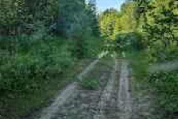
Mill Bank Bend
This little path comes off the Sunshine Estates Trail and leads to Mill Bank Road in New Maryland. It has a couple of foot-and-a-half-deep mud holes but is pretty stock-friendly. After a small hill, you'll see a sweeping turn leading you to Mill Bank Road.
Learn more about Mill Bank Bend
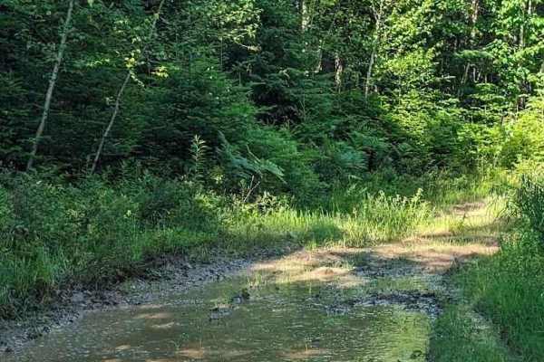
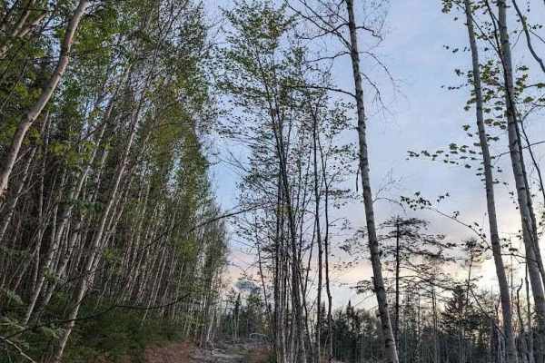
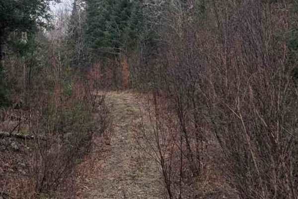
Sunshine Side Loop
Just off the Sunshine Estates Trail, this little loop takes you from the hydro line through some mildly overgrown logging trails. They are still in use by ATVs but they offer a few thrills, with some hard-bottomed muddy holes and narrow passages. The undergrowth isn't hard to manage, and the trail i...
Learn more about Sunshine Side Loop
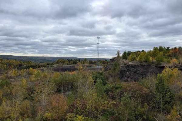
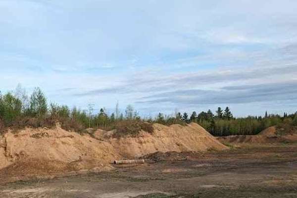
Peach's Pit
This is the rear entrance to an abandoned / closed pit. The pit is overgrown, but the main access road from Carlisle Road is used to maintain a communication tower. Many trails go east from here, letting you explore south of the hydro lines and towards the undeveloped rural areas.
Learn more about Peach's Pit
Firewood Lane Gully
You can enter this trail at the end of Firewood Lane near Carlisle Road, or you can just exit off the hydro line. It takes you around some steep bends, but it's wide enough for a half-ton pickup truck. The trail has lots of loose rock, washouts, and steep climbs. At the bottom of the gully, you will...
Learn more about Firewood Lane Gully
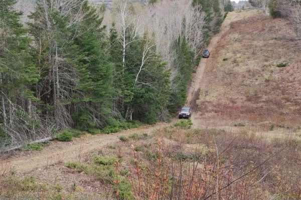
Douglas Logging Road Loop
Just down from Johnny's Gas Bar, there's a right of way that leads to a trail heading up to the hydro line. Taking a right, you end up with the option to turn down a logging road to get back on the 105. The views are amazing on the way down, and this trail will challenge your mudding, washout, and w...
Learn more about Douglas Logging Road Loop
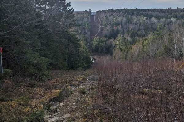
Douglas Hydro Line
Heading up an old logging road, you exit onto the hydro line to the right, over many large chunks of the mountain as well as through some water holes around 20 inches deep in parts. The trail exits to the Carlisle Road area if it gets too challenging, but leads all the way to Claudie Road across fro...
Learn more about Douglas Hydro Line
The Poutinery
After passing the hydro line sub station from Claudie Road, you begin a few descents and manage some deep washouts leading you to a flat area before the Nashwaaksis River. Here you will need some mud tires, a good lift, and most definitely a winch. After passing through the mud, where the Poutinery ...
Learn more about The Poutinery
Wet and Wiry Cut
The trail can be reached from the Douglas hydro line and heads up to Claudie Road. The path is slowly being overrun by beavers; they are building their dams literally right on the trail in some parts. Expect some deep holes, mud, and narrow passages with encroaching alders. Keep in mind there is an ...
Learn more about Wet and Wiry Cut
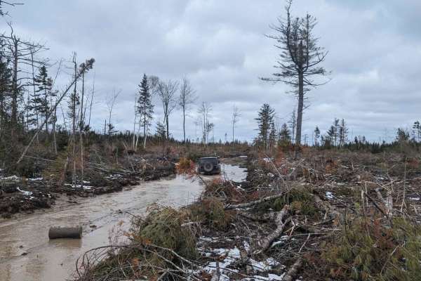
Douglas Clearcut
This is a winding logging road off the Douglas Hydro line. It takes you up through the clear-cut near the Mouth of Keswick. The track offers a great view of the valley and is very well maintained until the last bit. The last 100 meters is rough skidder trail through the carnage of the cut. Deep mud,...
Learn more about Douglas Clearcut
Yesterdays Rough Ride
One of the many spurs from the Claudie Road, about a kilometer past the former golf course, you will find Yesterday's Rough Ride. It's an overgrown full-size 4x4 trail that used to be run regularly in the day of the JK Wrangler. Near the beginning, you will find a few logs, remnants of an old makesh...
Learn more about Yesterdays Rough Ride
Douglas Clear Cut Bypass
This spur comes off of the hydro line near the Douglas Logging Road Loop. A steady ascent to the top of the hill, it features washouts, steep inclines, and many bedrock slabs that you might need to bump your way up in a full-sized 4x4. It eventually connects to the hydro line and the end of the Clau...
Learn more about Douglas Clear Cut Bypass
Sandlewood Tumble
This trail has a very narrow entry at the end of Sandlewood Lane. For an easier run, it's better to come from Sandlewood Lane and carefully head down a narrow path which later meets up at a clear-cut, with many washouts and bedrock ledges to edge your way down. Even with a high-clearance SUV, you wi...
Learn more about Sandlewood Tumble
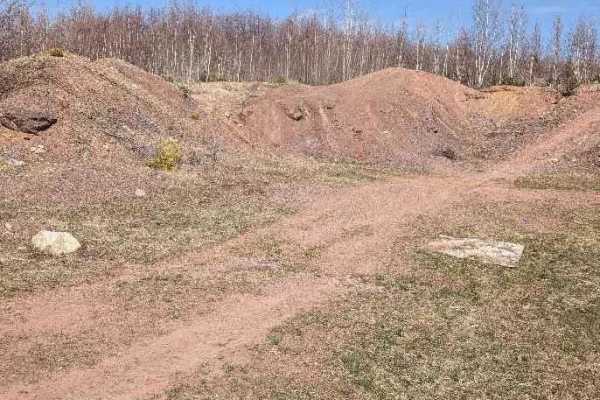
Claudie Pit Backroad
The hydroline will get you to this old gravel pit where there are a couple of steep piles to climb, a thick metal scrap husk, laden with bullet holes, and some great photo opportunities. The main entrance is bypassed by this backroad, through a valley with a winding gravel road.
Learn more about Claudie Pit Backroad
Dead Man's Shelf
Exiting off the Douglas Clear Cut Bypass heading west, this track takes you into a gully that descends into a shelf road leading to the Douglas Hydro line. This is a bypass, as well as the hydro line is too steep for most riders and vehicles to descend, and nearly impossible to ascend eastward. The ...
Learn more about Dead Man's Shelf
Douglas Hydro Bypass
This track skips Dead Man's Hill on the Douglas Hydro line trail. It takes you down through Dead Man's Shelf and is a spur off that trail that leads you back to the hydro line. The track is often muddy and has a steep ascent when you get back on the hydro line. Eventually, the trail takes you off th...
Learn more about Douglas Hydro Bypass
Peach's Parade
This is a series of forks that flow through the forest north of the hydro line and connect to the Claudie Road substation. The trail has a couple of puddles and narrowing bends with encroaching alders, but is well-traveled. It connects the hydro line to the Claudie road and has many spurs.
Learn more about Peach's Parade
Softwood Weave
This slalom ducks and weaves through a wide truck road that is slowly being overtaken by the forest. Accessible by the hydroline just north of it, or from Claude Road; it offers a peaceful foray into the woods or a quick exit from some of the more difficult sections of the utility line access roads ...
Learn more about Softwood Weave
Douglas Pit Ascent
This trail is directly on Highway 104. It is a steady ascent up the mountain with breathtaking views of the valley. It features slightly overgrown roads leading to an old shale pit. When the road ends, there is a bush path taking you to the hydro line that later connects to Claudie Road.
Learn more about Douglas Pit Ascent
ATV trails near Starlight Village, New Brunswick
Explore ATV-friendly trails near you. These trails are accessible for vehicles up to 50 inches wide, perfect for ATVs and smaller off-road machines.
Rainbow Drive Road
Entering from Rainbow Drive, this trail is incredibly rocky with a few puddles. The trail is fairly wide, but the pace is slow on account of the bumpy ride. There are many twists and turns and you wind up coming out near Hanwell Road. All puddles have a rocky bottom, so you don't need to worry about...
Learn more about Rainbow Drive Road
Sunshine Estates Trail
This trail takes you from the heart of New Maryland out to Wilsey Road. There are some technical water crossings and steep angles. It's a perfect trail for a Jeep or 4x4. You'll see plenty of woodlands and marshes, as well as the water treatment area for the village. It runs parallel to the TransCan...
Learn more about Sunshine Estates Trail
Mill Bank Bend
This little path comes off the Sunshine Estates Trail and leads to Mill Bank Road in New Maryland. It has a couple of foot-and-a-half-deep mud holes but is pretty stock-friendly. After a small hill, you'll see a sweeping turn leading you to Mill Bank Road.
Learn more about Mill Bank Bend
Sunshine Side Loop
Just off the Sunshine Estates Trail, this little loop takes you from the hydro line through some mildly overgrown logging trails. They are still in use by ATVs but they offer a few thrills, with some hard-bottomed muddy holes and narrow passages. The undergrowth isn't hard to manage, and the trail i...
Learn more about Sunshine Side Loop
UTV/side-by-side trails near Starlight Village, New Brunswick
Find UTV and side-by-side trails near you. These trails accommodate vehicles up to 60 inches wide, ideal for UTVs, side-by-sides, and wider off-road rigs.
Rainbow Drive Road
Entering from Rainbow Drive, this trail is incredibly rocky with a few puddles. The trail is fairly wide, but the pace is slow on account of the bumpy ride. There are many twists and turns and you wind up coming out near Hanwell Road. All puddles have a rocky bottom, so you don't need to worry about...
Learn more about Rainbow Drive Road
Sunshine Estates Trail
This trail takes you from the heart of New Maryland out to Wilsey Road. There are some technical water crossings and steep angles. It's a perfect trail for a Jeep or 4x4. You'll see plenty of woodlands and marshes, as well as the water treatment area for the village. It runs parallel to the TransCan...
Learn more about Sunshine Estates Trail
Mill Bank Bend
This little path comes off the Sunshine Estates Trail and leads to Mill Bank Road in New Maryland. It has a couple of foot-and-a-half-deep mud holes but is pretty stock-friendly. After a small hill, you'll see a sweeping turn leading you to Mill Bank Road.
Learn more about Mill Bank Bend
Sunshine Side Loop
Just off the Sunshine Estates Trail, this little loop takes you from the hydro line through some mildly overgrown logging trails. They are still in use by ATVs but they offer a few thrills, with some hard-bottomed muddy holes and narrow passages. The undergrowth isn't hard to manage, and the trail i...
Learn more about Sunshine Side Loop
The onX Offroad Difference
onX Offroad combines trail photos, descriptions, difficulty ratings, width restrictions, seasonality, and more in a user-friendly interface. Available on all devices, with offline access and full compatibility with CarPlay and Android Auto. Discover what you're missing today!
Open Trail Map