Trail Overview
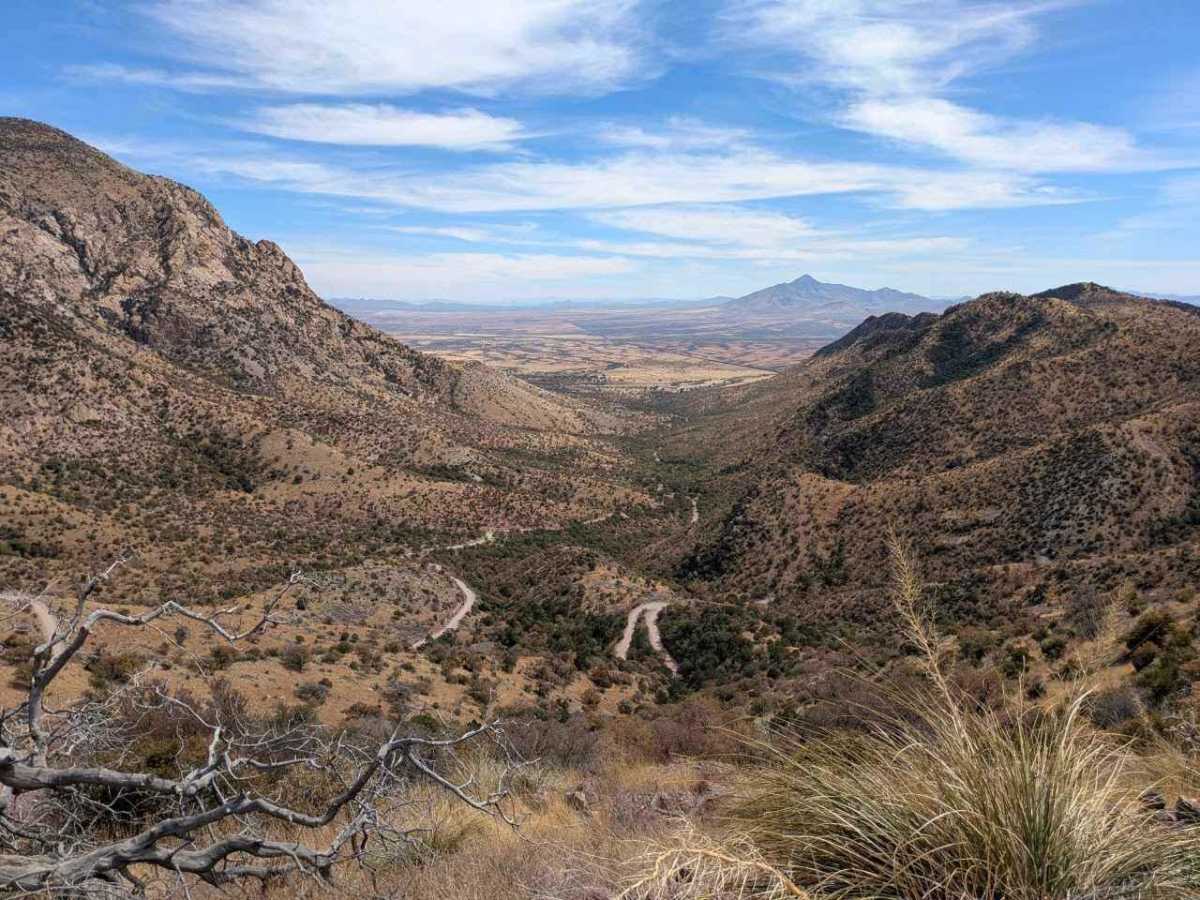
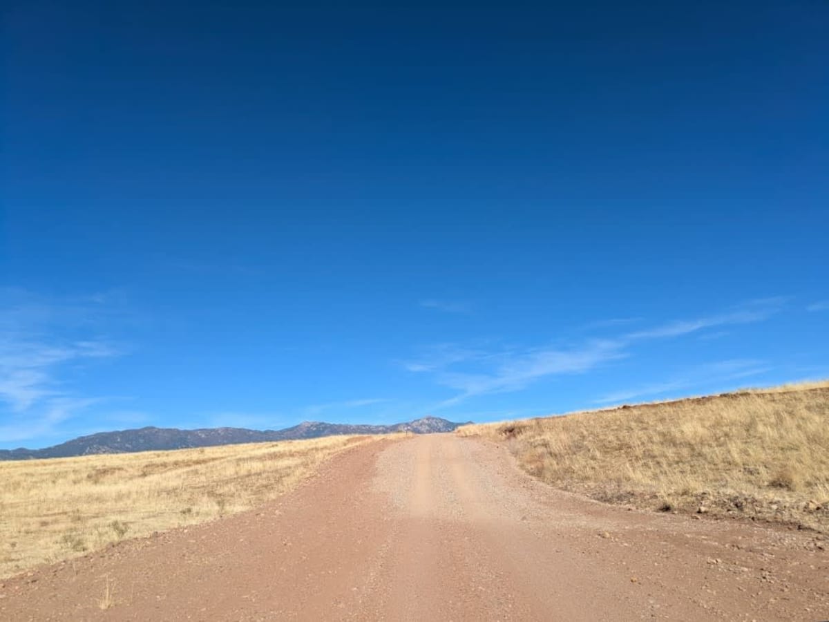
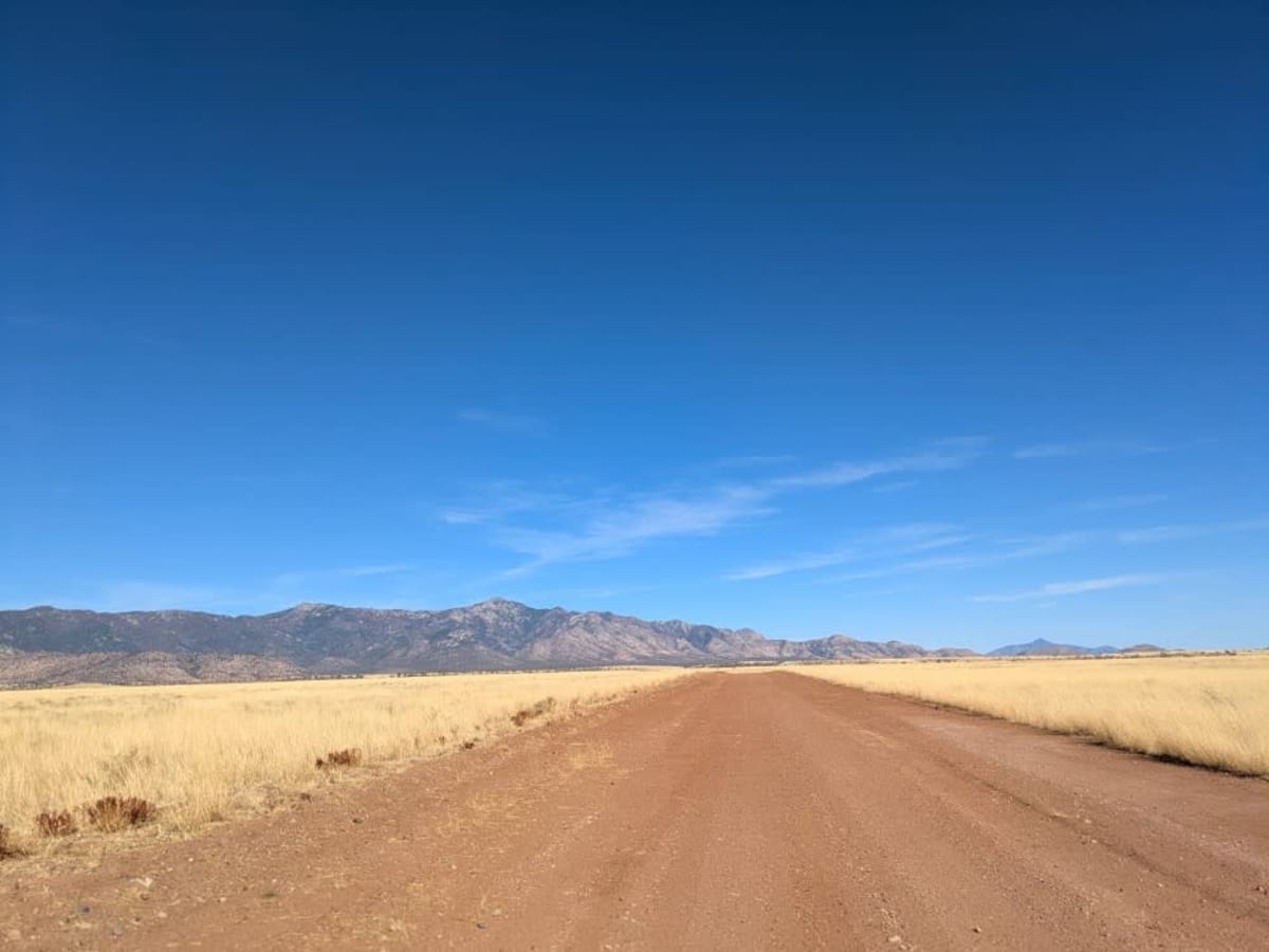
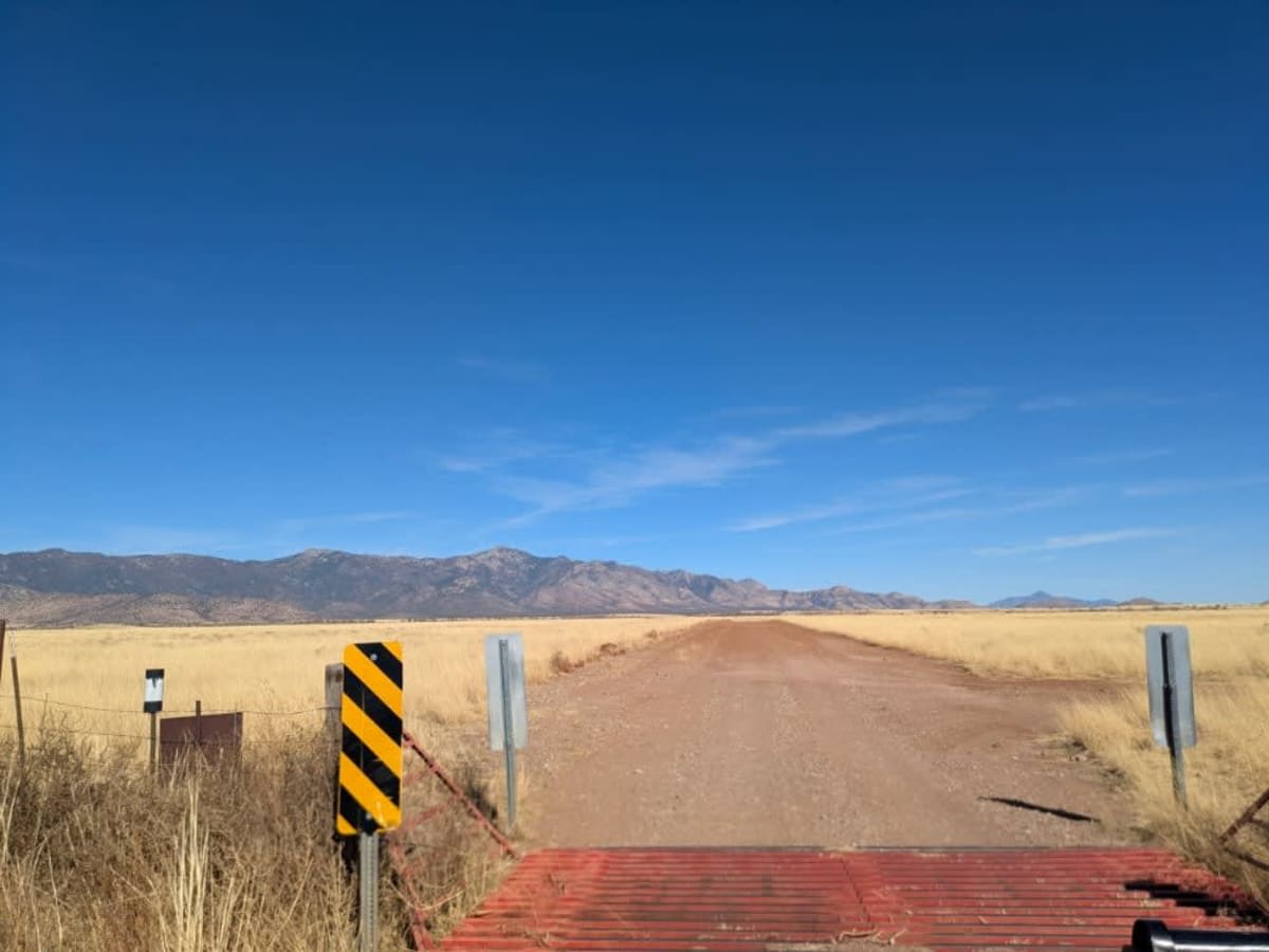
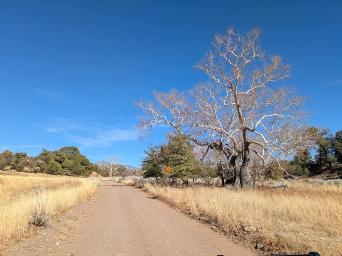
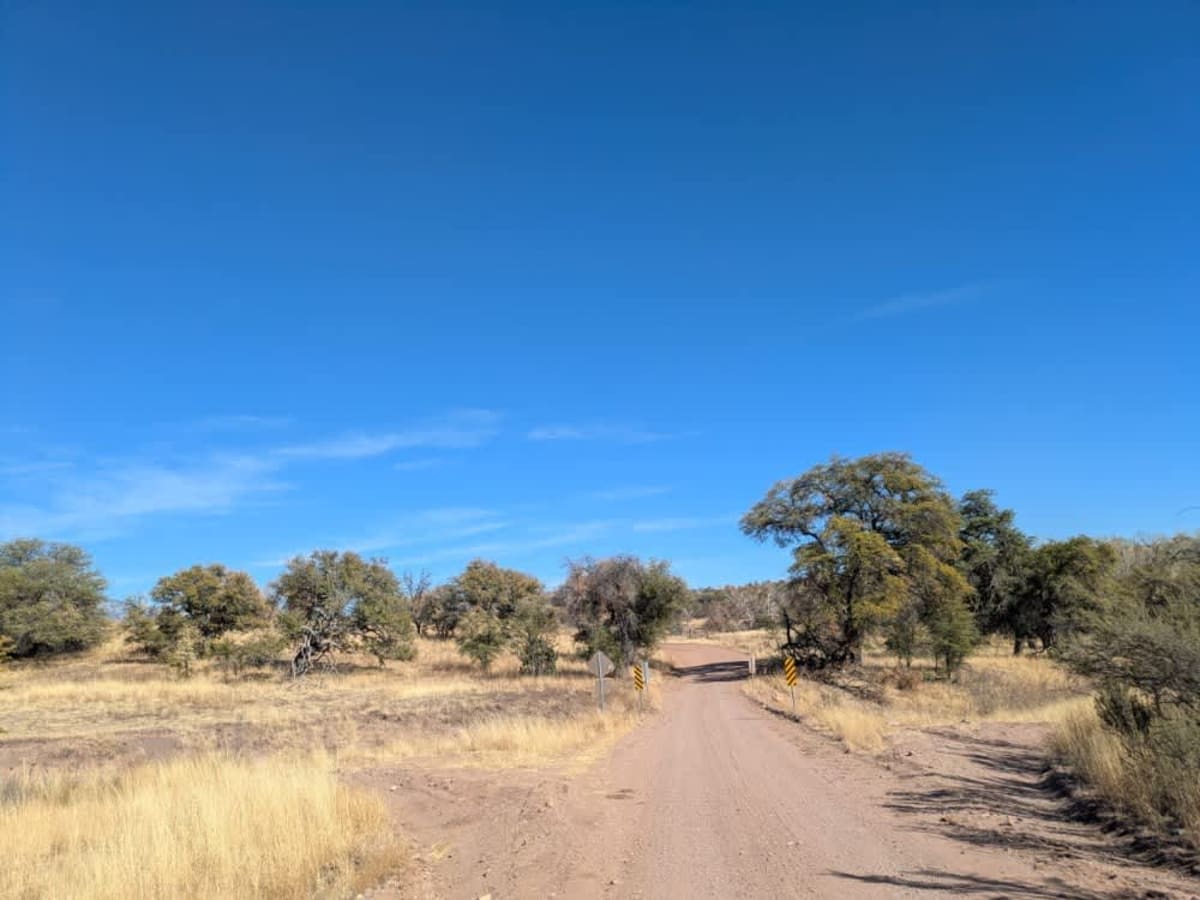
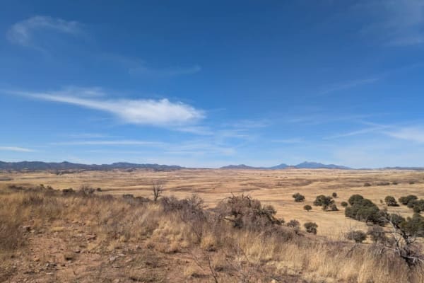
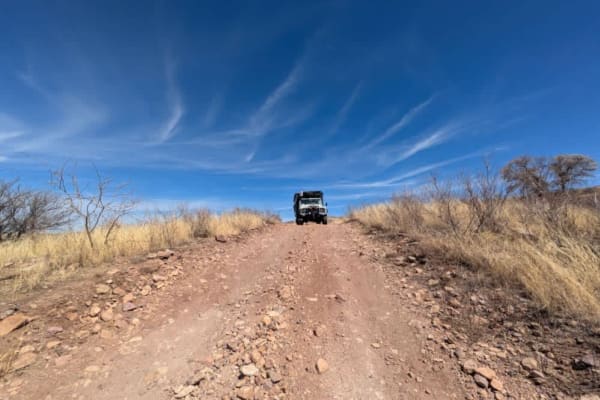
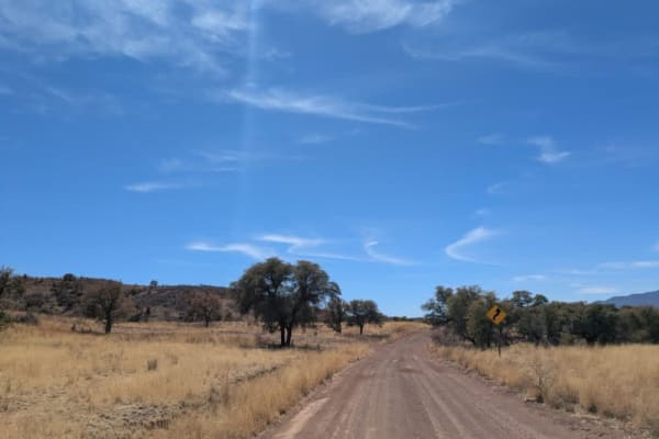
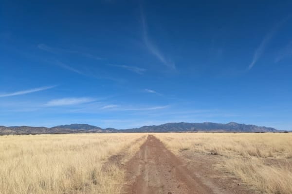
The Washington Montezuma Pass is a maintained dirt road, though frequent corrugations make for a bumpy ride. Border Patrol vehicles are a common sight along the route, as the trail runs parallel to the border, which is marked by a simple fence. The terrain varies, with rocky sections appearing intermittently. After passing cattle guards, the road often narrows into a single-lane trail. Occasional dips lead into washes, where rough patches and heavy corrugation can make for a jolting drive. Despite the rugged conditions, the road stretches on as a winding path through the landscape, offering a long and scenic off-piste experience. The trail ascends to 6300 feet with an amazing view of the Sonoran Desert on both the US and Mexican sides. A short drive from the Visitors Center on the eastern side of the trail will take you directly up to the scenic point, which is highly recommended. The trail lacks amenities such as established dispersed camping, trash disposal, and water supply, and there is limited cell service.
History
Montezuma Pass lies within Coronado National Memorial on the southeastern flank of the Huachuca Mountains, just south of Sierra Vista, Arizona, and near the Mexico-United States border. From the pass, sweeping vistas stretch across the San Pedro River to the east and the San Rafael Valley to the west, offering a stunning perspective of the surrounding landscapes. The route to Montezuma Pass begins with a paved section before transitioning into a narrow, unpaved mountain road. This memorial honors the historic 1540 expedition led by Francisco Vasquez de Coronado, the first organized European exploration of the Southwest.