Santo Tomas to Vicente Guerrero

Total Miles84.9
Technical Rating
4Moderate
Best TimeSpring, Winter
Trail TypeFull-Width Road
Accessible By
Open Trail Map

Trail Overview

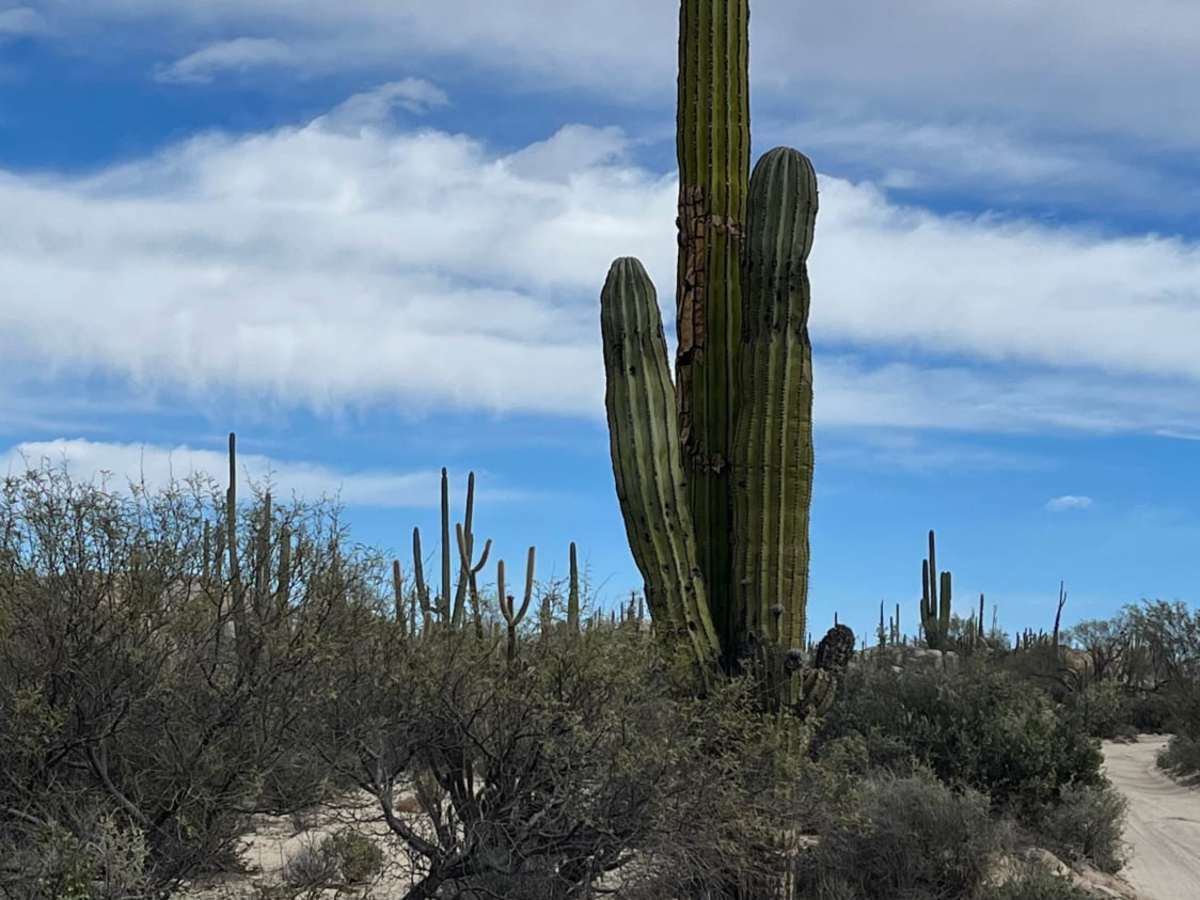
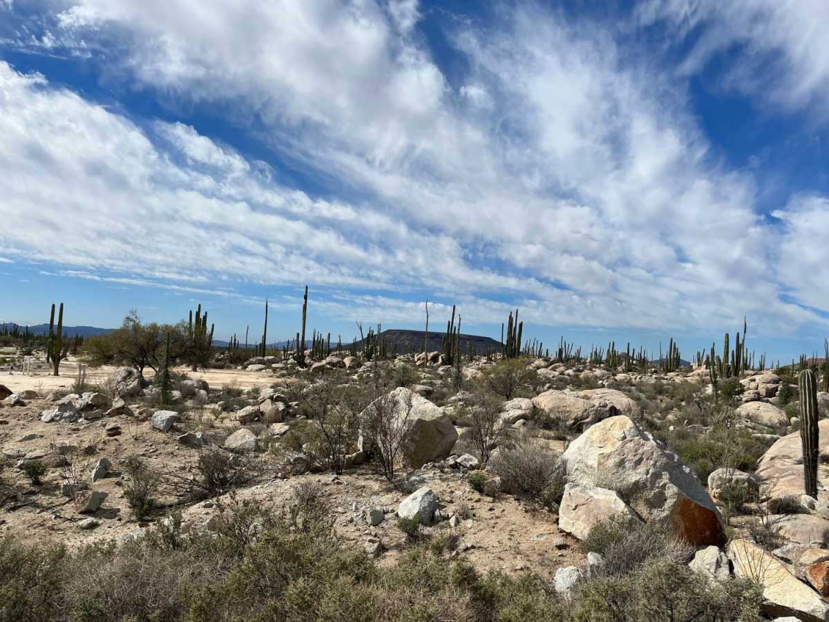
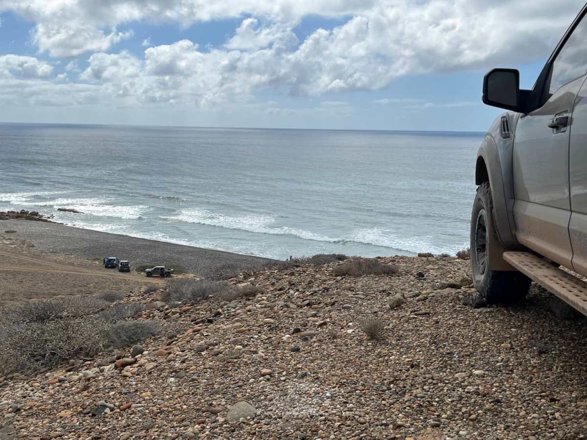
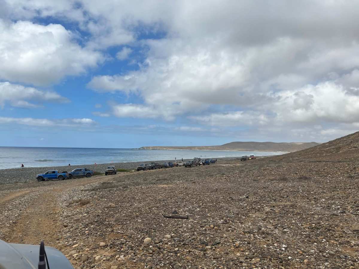
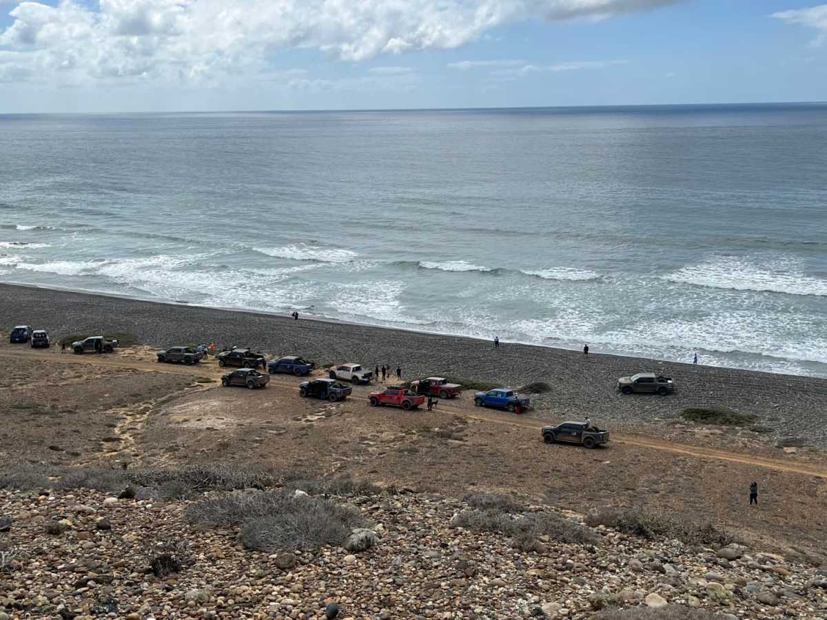
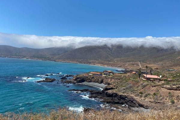
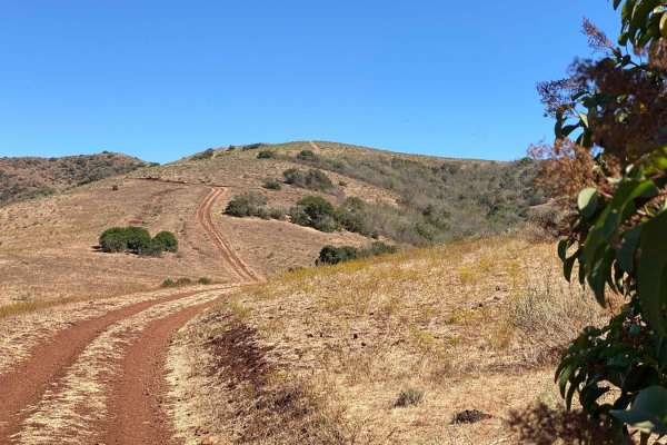
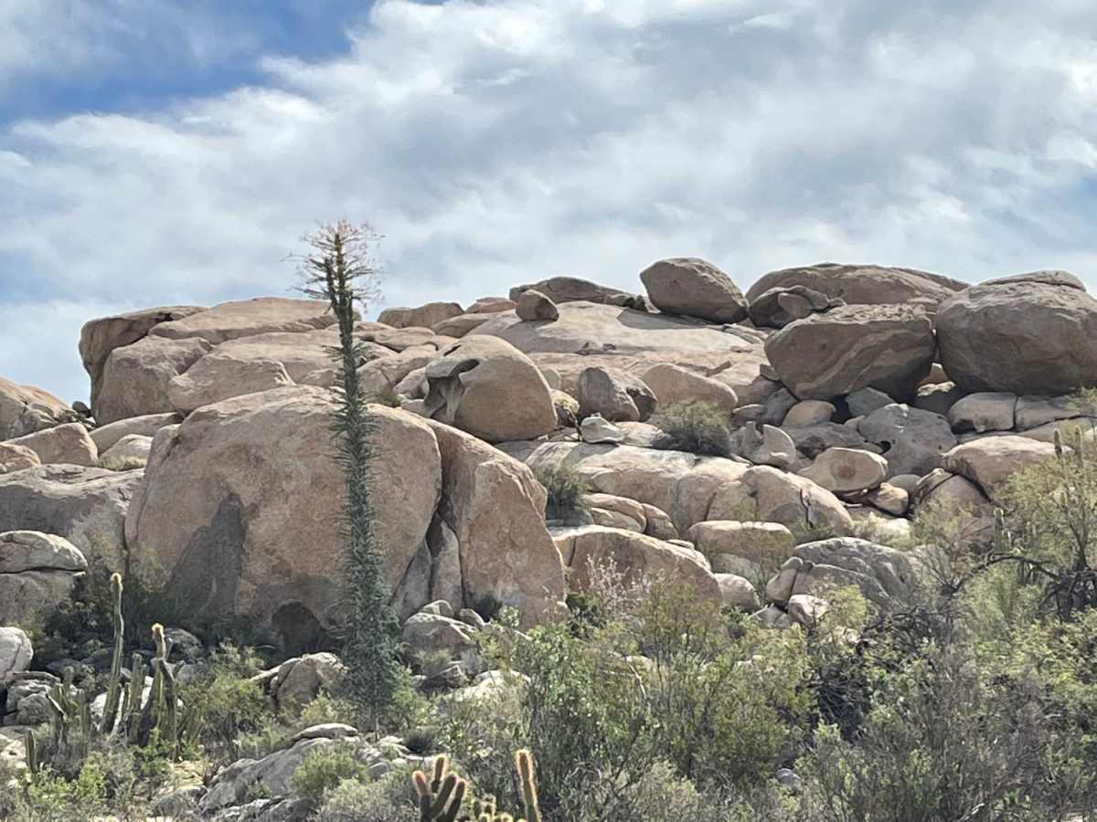
This rugged 85-mile overland route from Santo Tomas to Vicente Guerrero is designed for self-reliant offroaders seeking a dramatic mix of rocky desert mountains and pristine Pacific shorelines in Baja California. Combining winding dirt roads and sandy beach tracks, the trail drops from a peak elevation of 1,325 feet down to sea level, offering stunning, remote vistas of the ocean crashing against the arid landscape. While the trail's technical difficulty is moderate, its sheer remoteness demands proper preparation, reliable equipment, and high-clearance four-wheel-drive vehicles or capable SxSs. Along the journey, travelers will wind through high-elevation desert passes before dropping down to the coastal flats, passing a handful of small, remote fishing villages and isolated coastal settlements. Drivers should be prepared for changing terrain that ranges from hard-packed dirt and loose gravel to soft beach sand that can test traction and tire pressure choices. The cumulative elevation gain of over 4,870 feet and loss of 5,330 feet guarantees a diverse driving experience, with steep, twisting descents toward the ocean and narrow segments where loose rocks require slow, careful tire placement. Navigating this path safely requires traveling in a group, carrying plenty of water, extra fuel, and recovery gear, as help is far away in this stretch of Baja. The route ends near Vicente Guerrero, delivering a quintessential Baja off-road expedition that perfectly marries desert-driving challenges with spectacular, windswept coastal scenery.

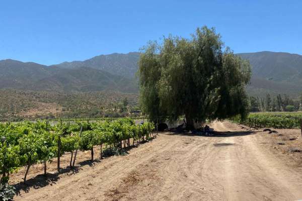
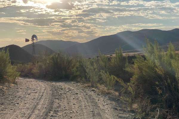
Photos of Santo Tomas to Vicente Guerrero

Difficulty

The road/trail is generally straightforward with some narrows with looks rocks and sand, but the distance and remoteness requires this not be travelled solo or without ample supplies and gear.

Technical Rating

4

Status Reports

Add Status Report
Donny Schmidt
Oct 22, 2025
Open
Normal
Taken from north to south, the first section is extremely boring. Going through dusty deserted farmland. Then at the point, it drops down a steep rocky hill. Pretty challenging on a big ADV bike. The last section had some sand, then opens up onto easy wide trails along the ocean. Part of this year’s Baja 1000 route.
Mike Blackman
May 18, 2024
Open
Rough/DeterioratedWashboard
A lot of fun, this years rain storms have created some big ruts and exposed rocks.
John Tucci
May 03, 2024
Open
NormalDustyRough/Deteriorated
Very enjoyable! I rode the first half of this trail north to south. Scenic, even, hard packed sandy trail leads to the coast where a short final steep rutted descent will challenge larger adventure bikes to get down to sea level. Tenere 700 did well but would not make it in wet or muddy conditions. 4x4s should be able to manage wet or dry with caution. Once at sea level the trail is loose rocks on and off to Coyote Cals with opportunity for some flat stretches of higher speed riding.
Nicholas Ihley
Feb 25, 2024
Obstructed
Impassable Water Crossing
About midway along the trail after circumnavigating the bluffs section which is now posted as private, there is large mud hole that according to locals doesn’t ever dry out. The water/ mud whole is at least 28” at its deepest and contains old fence posts, bar wire and other obstructions. It is nearly 200 yards across and you will get stuck.
Nacho Gladiator
Aug 05, 2023
Open
Rough/Deteriorated
Frankie Motts
Jul 16, 2023
Open
Normal
Edgar Olivas
May 30, 2023
Open
Normal
Richard Bloom
Apr 16, 2023
Open

Santo Tomas to Vicente Guerrero Trail can be accessed by the following ride types:

  • Single Track
  • 50 Inch
  • 60 Inch
  • High Clearance
  • Full Width

Santo Tomas to Vicente Guerrero Map

The onX Offroad Difference

onX Offroad combines trail photos, descriptions, difficulty ratings, width restrictions, seasonality, and more in a user-friendly interface. Available on all devices, with offline access and full compatibility with CarPlay and Android Auto. Discover what you're missing today!

Open Trail Map