Trail Overview
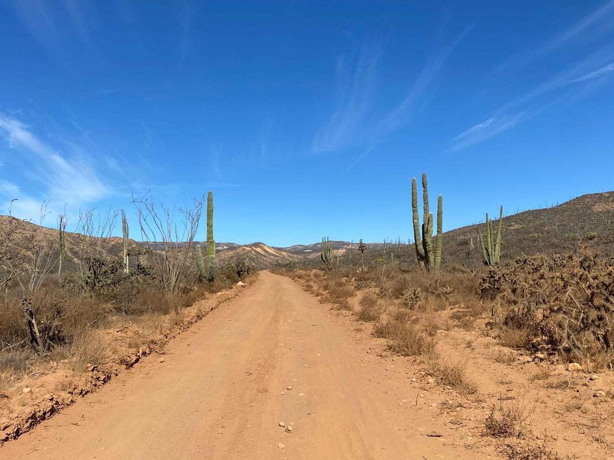
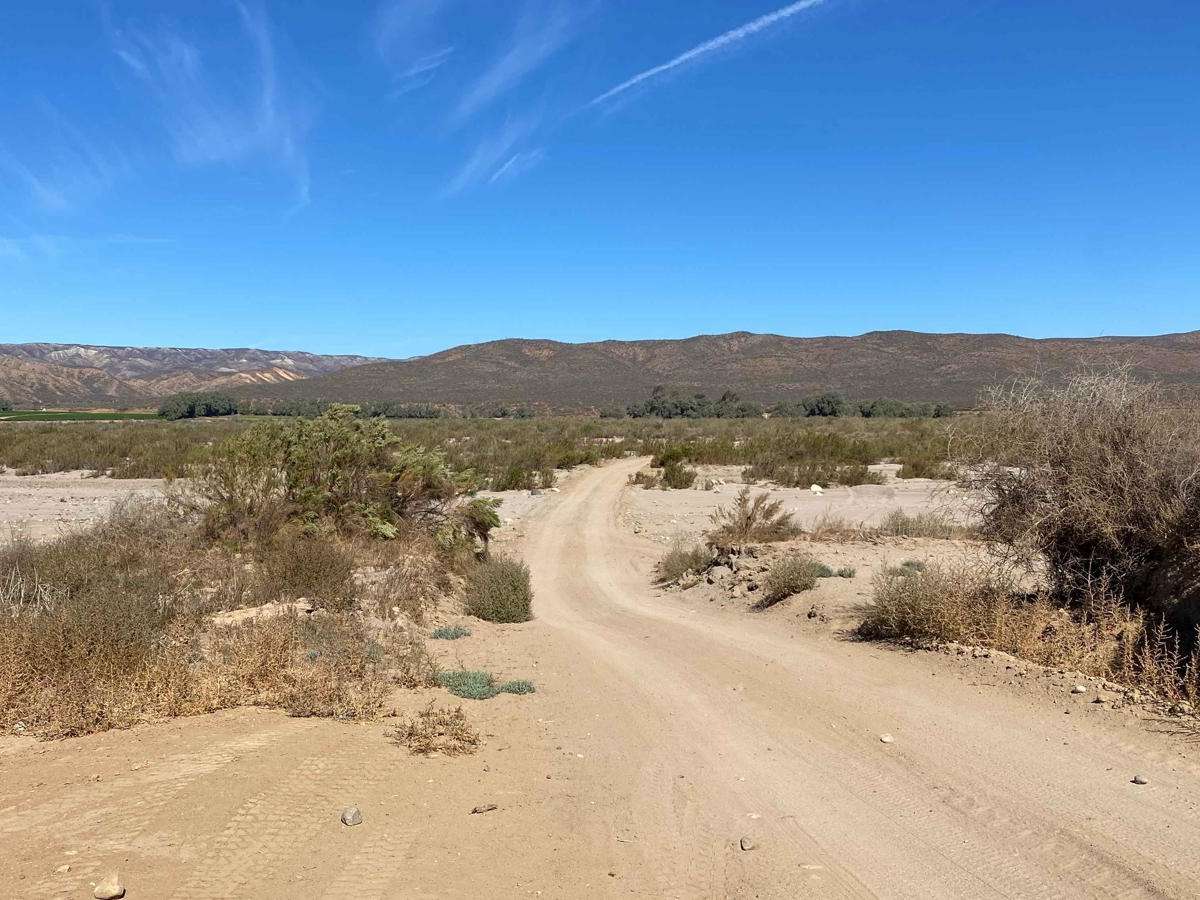
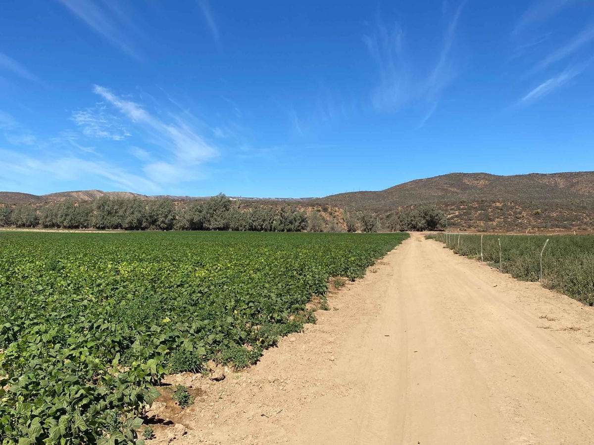
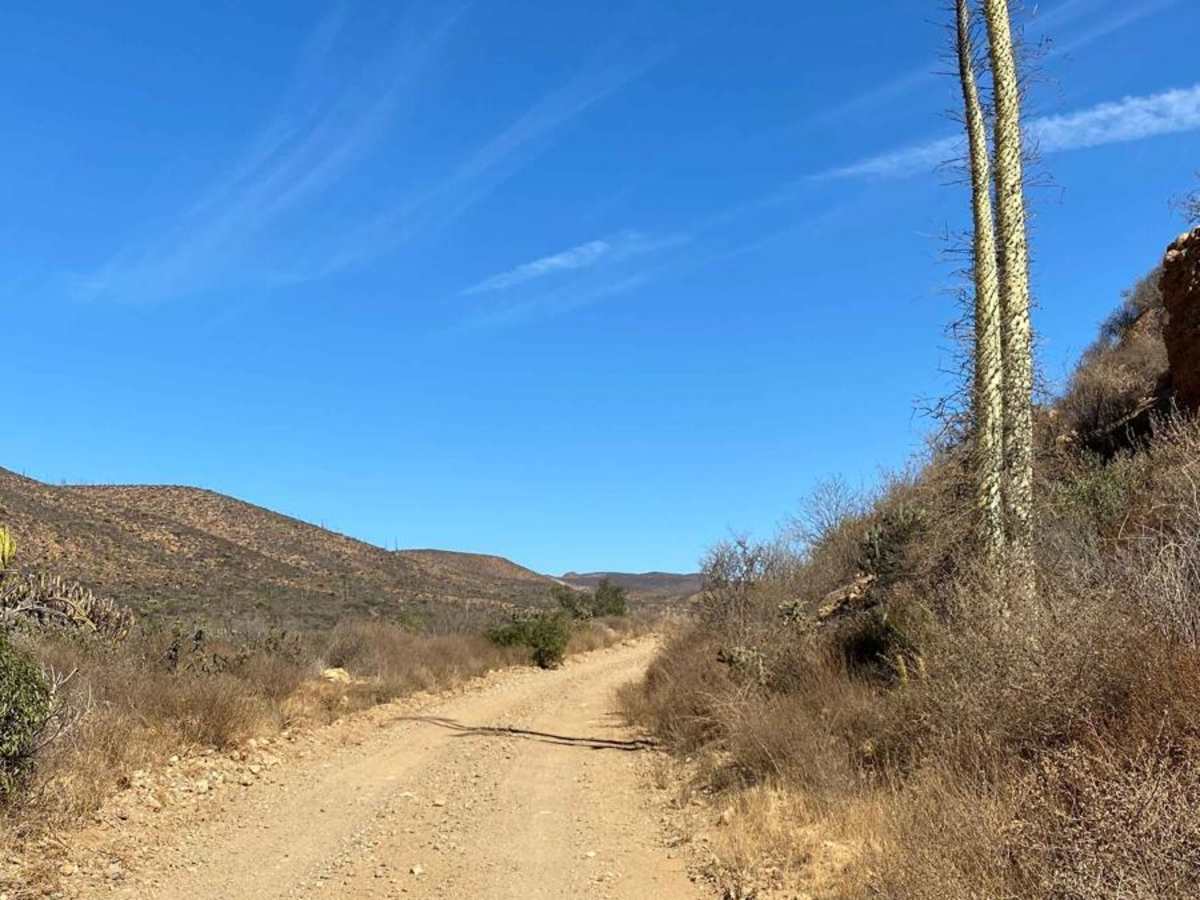
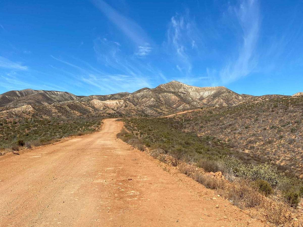
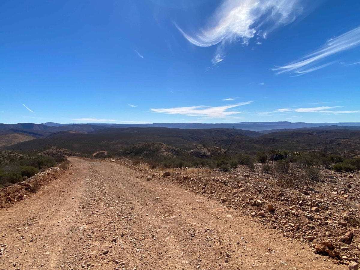
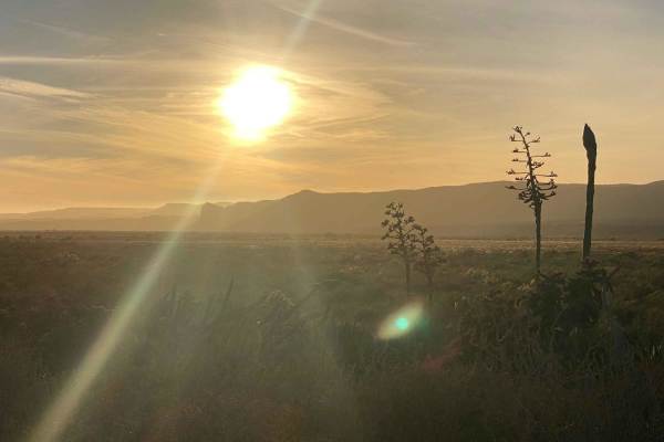
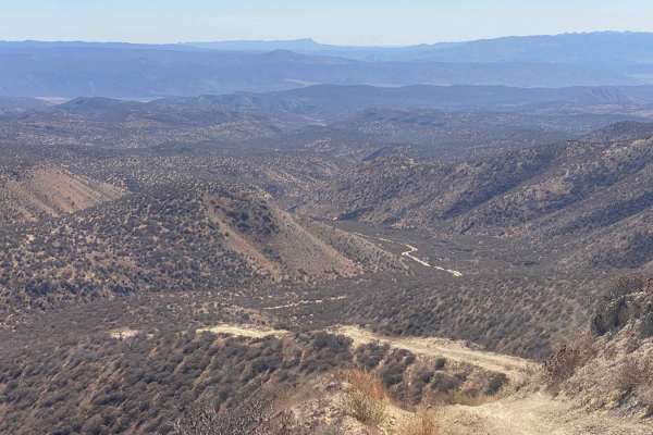
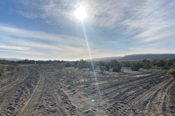
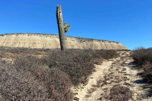
This well-traveled dirt route offers a rugged, scenic connection between San Quintin and El Rosario, immersing travelers in Baja's unique, untouched landscapes. Heading southeast, the trailhead begins at El Socorro, branching from Highway 1 just beyond San Quintin. Starting from the El Rosario Connection Trail presents a greater challenge, with rougher terrain suited for higher-clearance 4WD vehicles. However, where this route begins, or from the south, it is a well-maintained track accessible to any vehicle, even accommodating ranch trucks with horse trailers. The journey starts on a high plateau before winding through dramatic canyons and desert landscapes, where spindly cacti and otherworldly plants seem plucked from a Dr. Seuss illustration. The trail alternates between steep descents and ascents, taking you from sea-level ranchlands back up to El Rosario or leading through mountains to the southeast. Near the bottom of the route, there is an open road through the arroyo, offering an unobstructed passage with no gates impeding entry. If that area is obstructed, it's suggested to get permission from the ranch at the base of the road when traveling northbound.