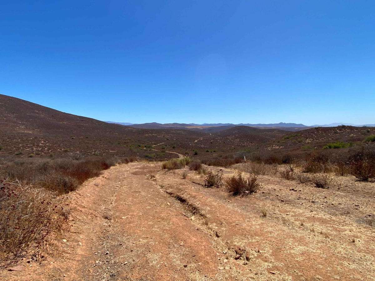
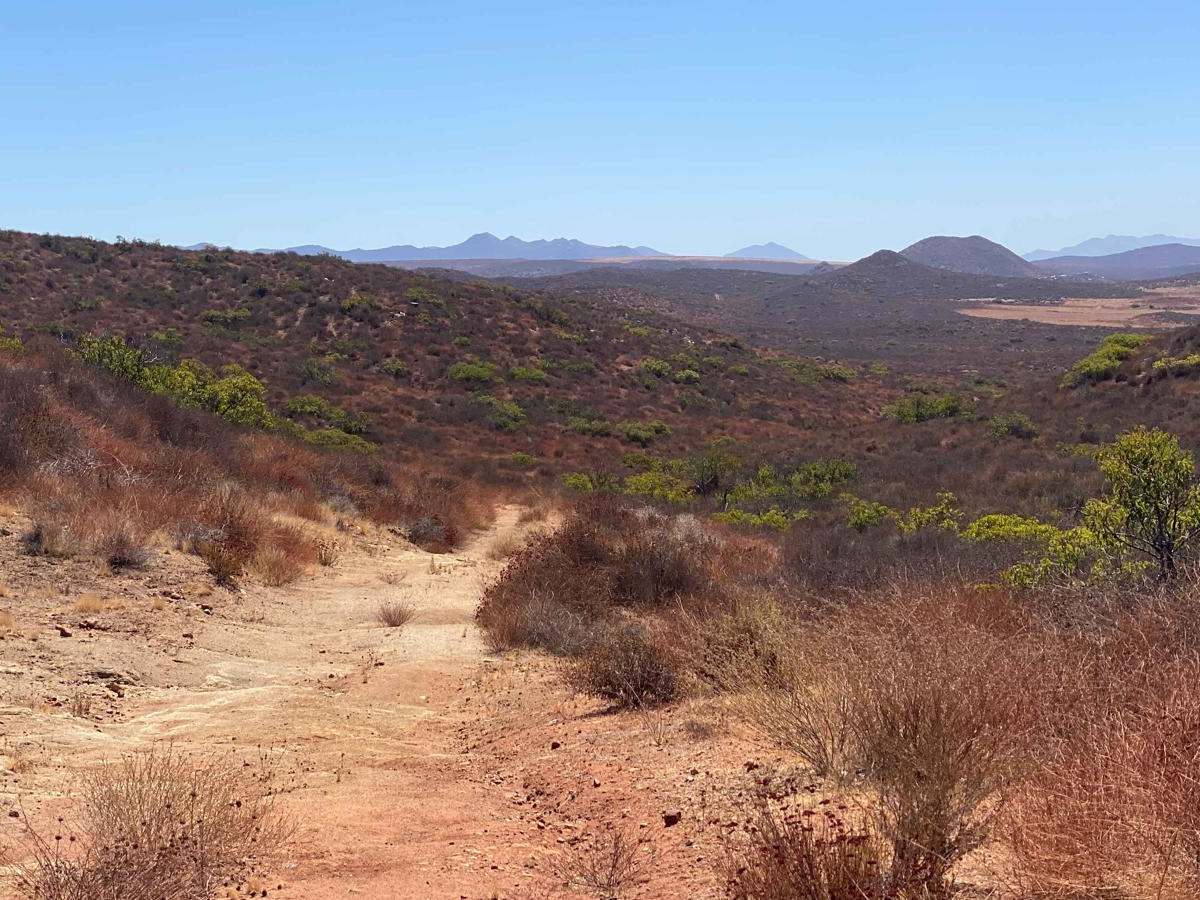
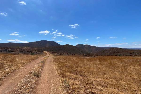
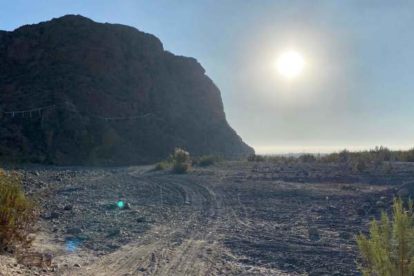
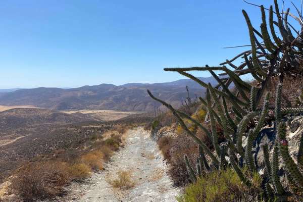
Trail Overview
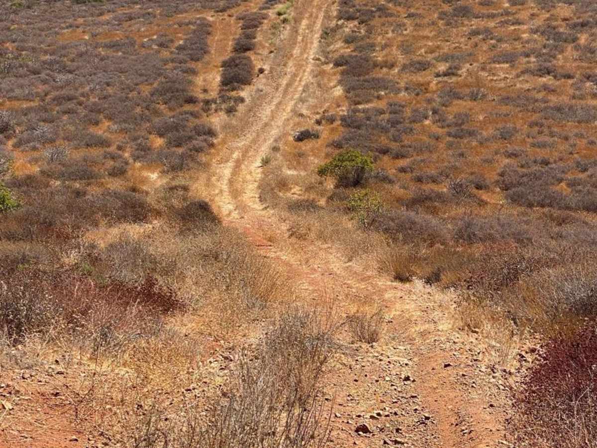
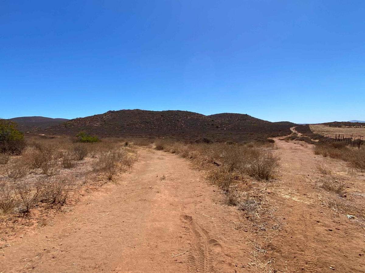
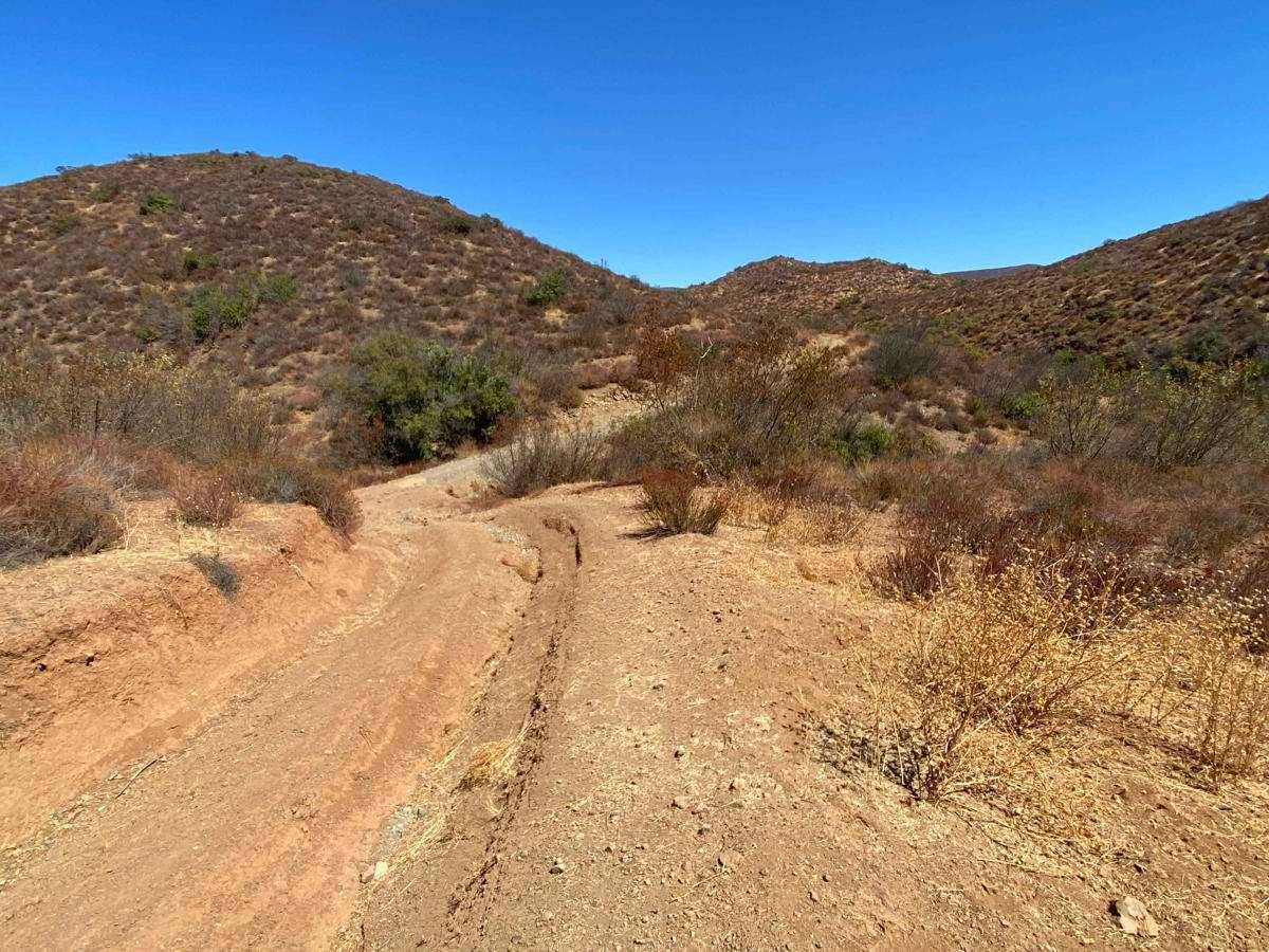
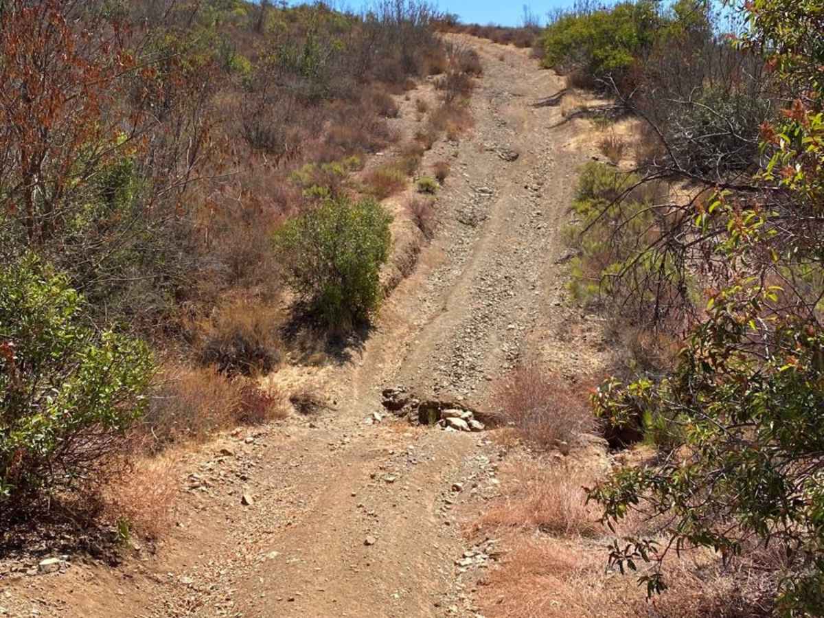
This route branches off the Dos Ranchos trail but is far less traveled, with few visible tire tracks--mostly showing signs of coyotes, horses, or cattle. Despite being an old race trail, the road remains relatively smooth compared to more frequently used routes, though there are several challenging sections with steep ascents and descents. The scenery is stunning throughout, with abundant desert wildlife, including birds, coyotes, and the occasional sign of cats. As you gain elevation, the distant red mountains come into view, adding to the beauty of the journey. While some sections feature steep ruts that require careful wheel placement, the route is overall enjoyable and eventually reconnects with the Dos Ranchos trail and the end of the Southern Loop. There are trails that continue on to the east, one of which leads to Meling Ranch.
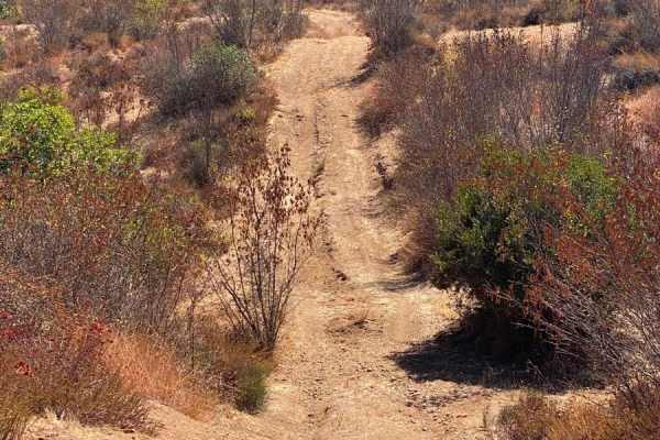
Difficulty
This route includes several steep ascents and descents, with one section featuring deep tire ruts and a significant hazard: a large hole with a 15-foot drop into a crevice. Caution is essential here, and you should be prepared to use a spotter, Maxtrax, or other recovery gear to safely navigate this section. Additionally, you'll encounter rain-formed crevices that demand precise wheel placement. The difficulty rating of this route assumes dry conditions; expect a much more challenging experience in wet weather.