Trail Overview
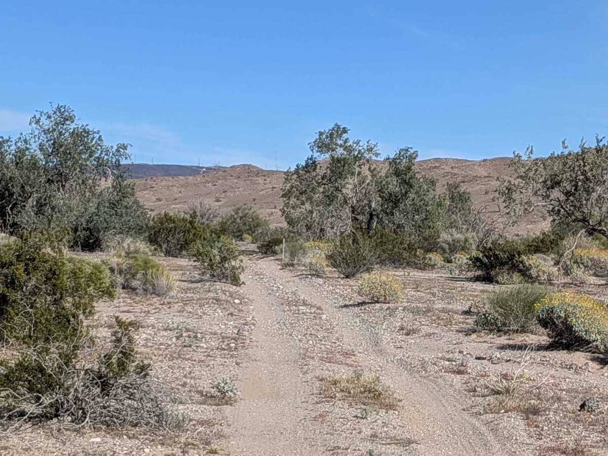
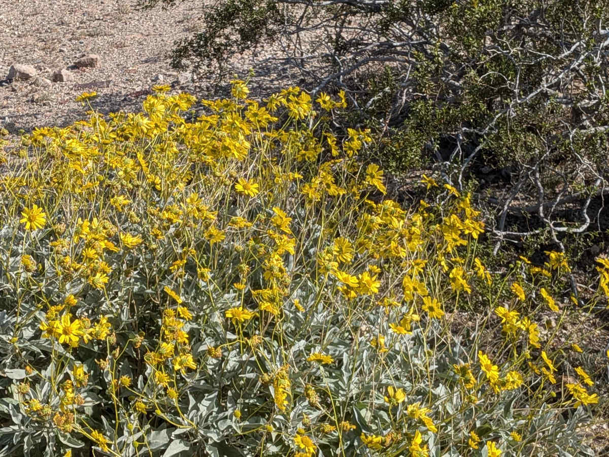
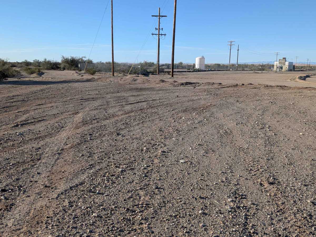
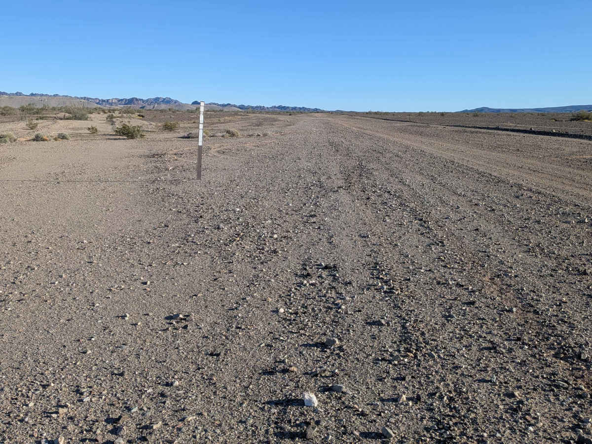
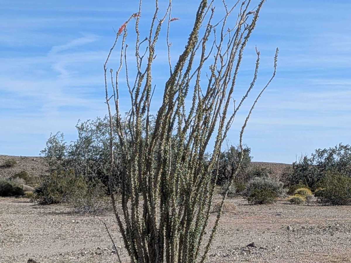
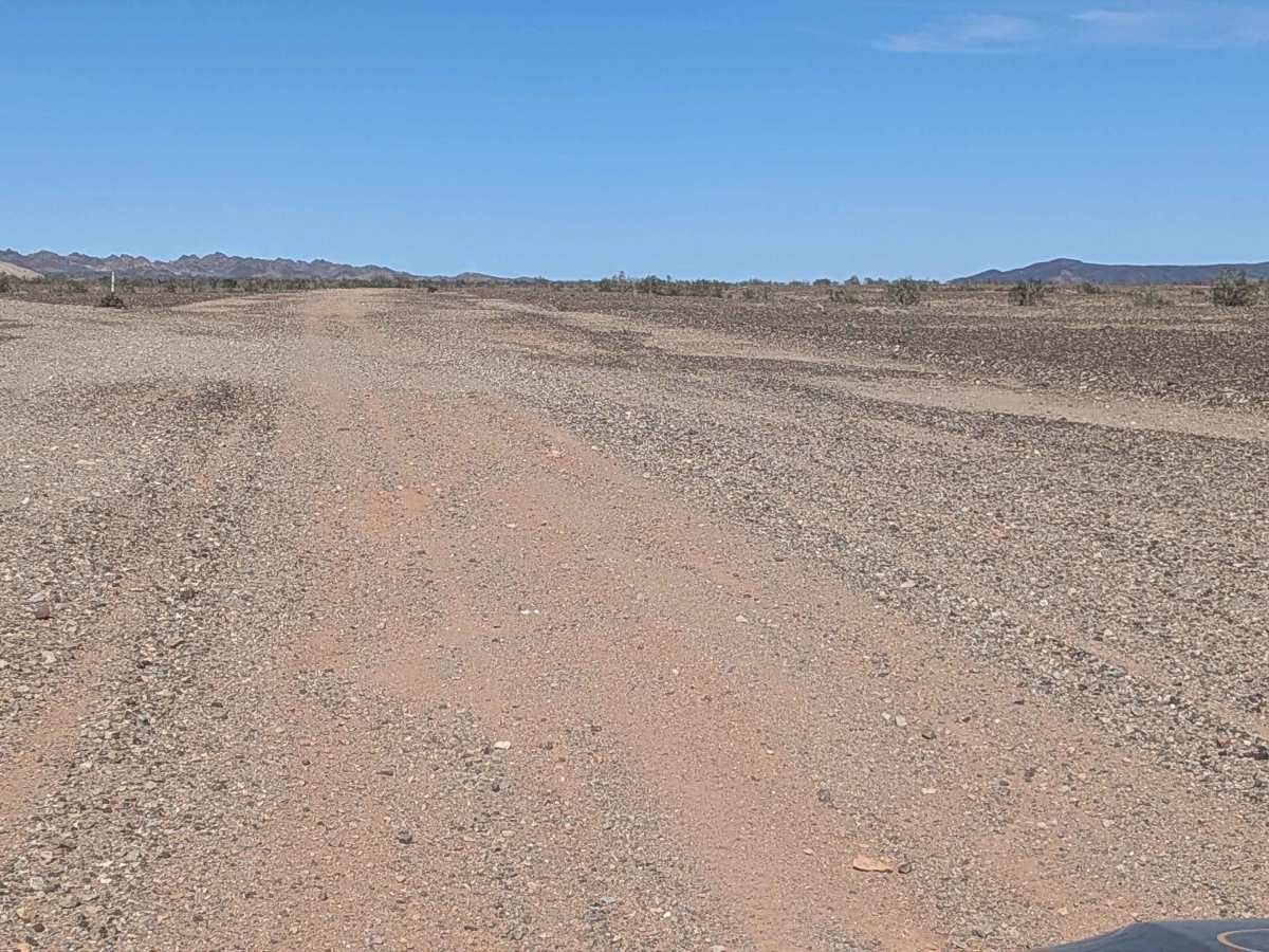
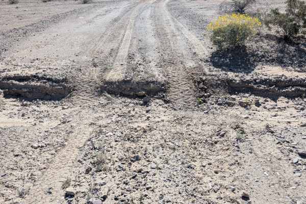
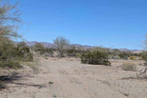
Originating at Western Mesquite Mine Road, this very wide sand and gravel route offers exceptional room to maneuver through surprisingly barren terrain. Small rocks dominate the immediate surroundings with a few large ones punctuating the rocky landscape, but vegetation is scarce here. The Chocolate Mountains tower to the north, the Imperial Sand Dunes define the southern skyline, and another mountain range rises to the east, boxing you in with dramatic scenery. Dispersed camping opportunities abound across this open landscape. A couple of small sections feature deep ruts hitting 18 inches, and one very off-camber stretch has a bypass available. The final mile heading north introduces washboards that weren't present earlier.
Difficulty
That very wide width forgives navigation mistakes and provides plenty of room for line selection. The couple of small deep rut sections at 18 inches demand clearance and careful approach, but they're brief. The off-camber section offers a bypass for those uncomfortable with the tilt. Washboards in the last northern mile just add vibration without real difficulty. Mostly straightforward travel across open terrain.