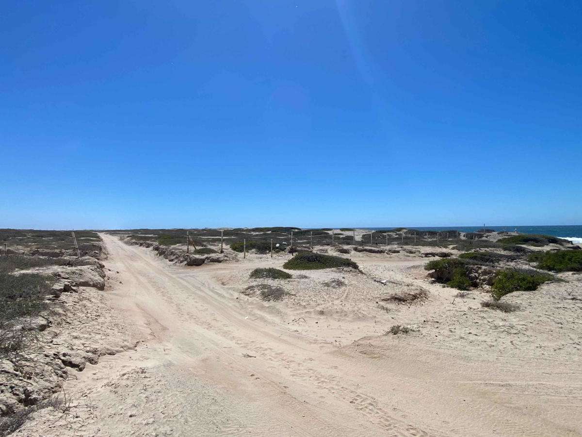
Trail Overview
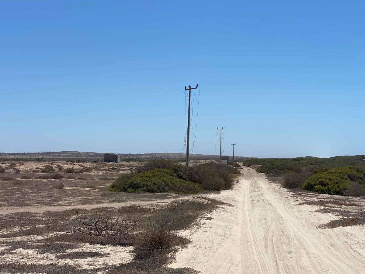
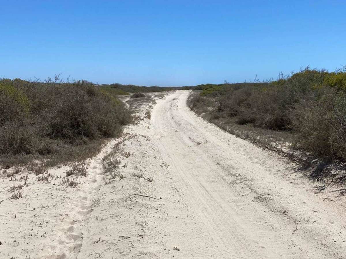
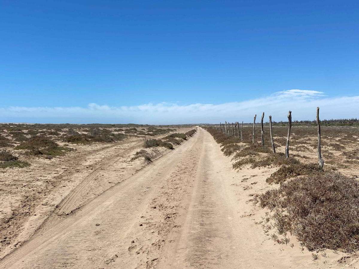
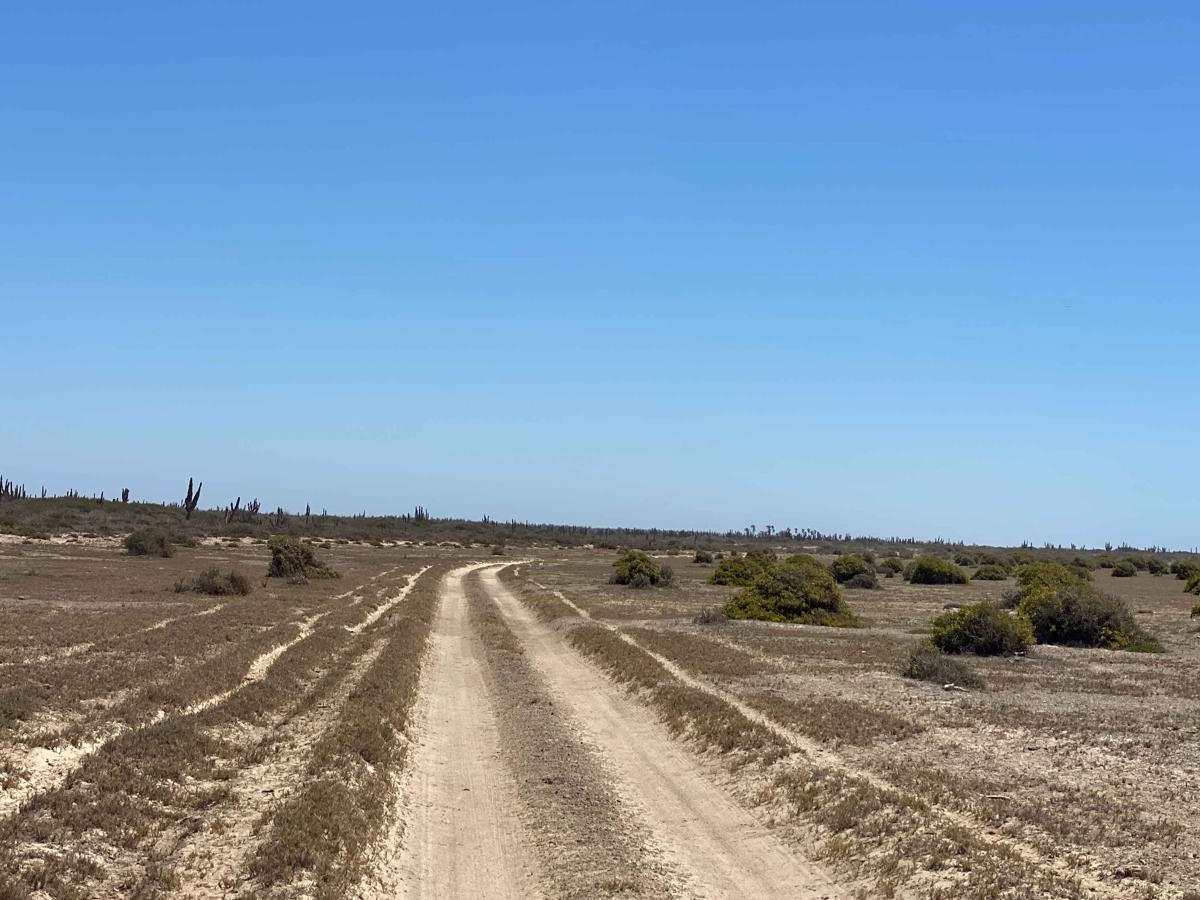
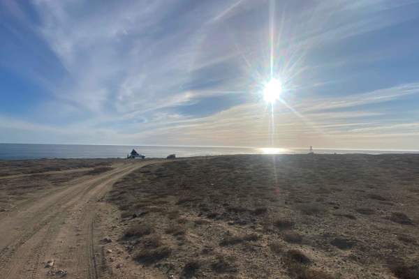
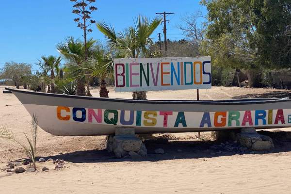
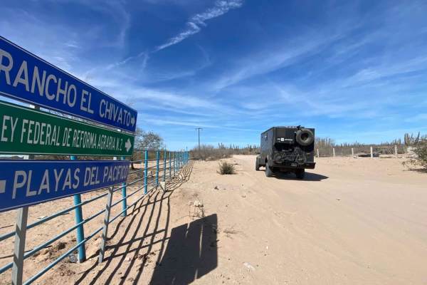
This route begins off the Playa Cedro trail, tracing the coastline before veering inland to navigate around an arroyo--the most challenging section of the trail. Here, you'll encounter a mix of deep whoops and silty beds, likely remnants of old race tracks. Once past the thick, powdery silt, the terrain transitions to a rocky surface before smoothing out for the remainder of the journey. The trail continues along the coast, passing through open fences and winding through mangroves while dipping in and out of arroyos. As you near the end of this section, a stand of tall palms on the left marks San Isidro de Palmas, a recognizable landmark. From here, you can turn left to reach the highway and the town of Reforma Agraria or continue straight along the coastal route toward the Land Baja development and beyond.
Difficulty
While ranchers in 2WD vehicles have successfully navigated this trail, it is rated as an entry-level 4WD route due to the high risk of getting stuck without four-wheel drive. The most challenging section is near the beginning, where deep, dark silt can quickly bog down vehicles. Beyond that, the trail consists mostly of smooth, level terrain with occasional sandy stretches and a few areas that require careful maneuvering when exiting arroyos. This rating assumes dry conditions--after or during a storm, arroyos and any salt flats along the route can become significantly more difficult, if not impassable.