Camino Al Bajo

Total Miles7.5
Technical Rating
1Easy
Best TimeSpring, Summer, Fall, Winter
Trail TypeFull-Width Road
Accessible By
Open Trail Map

Trail Overview

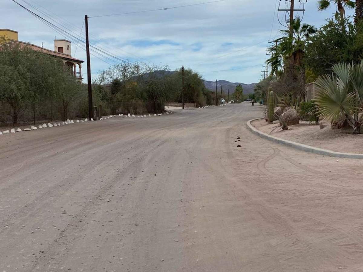
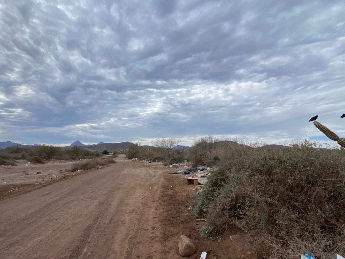
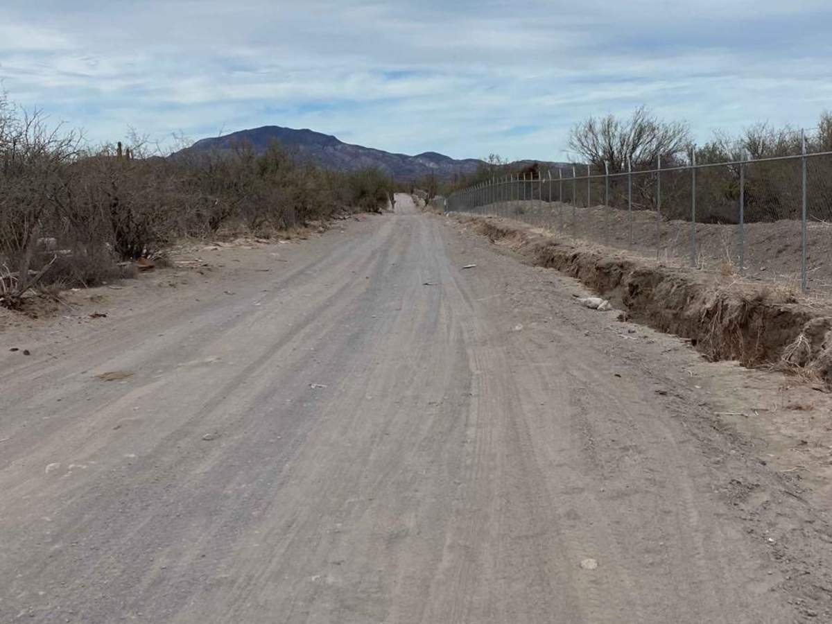
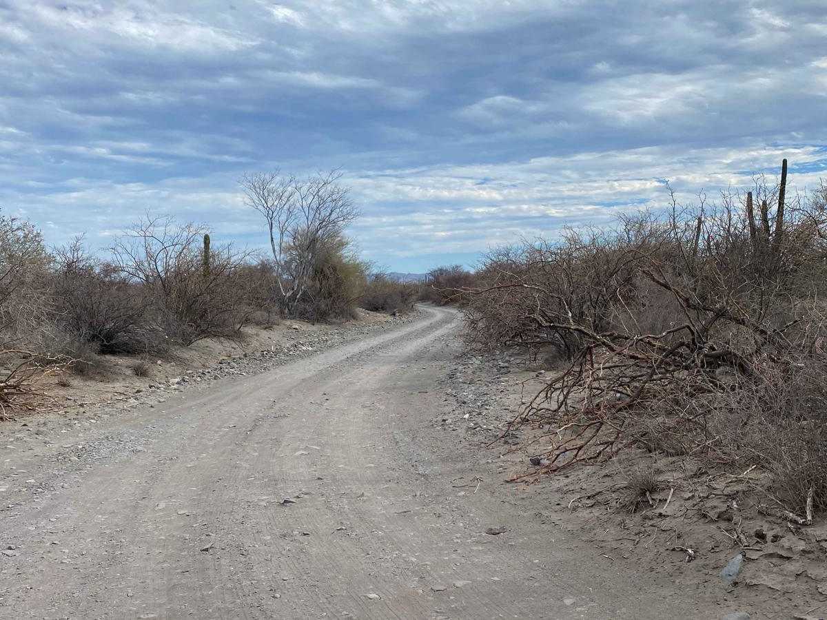
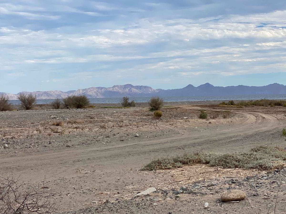
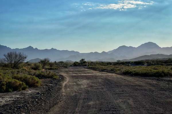
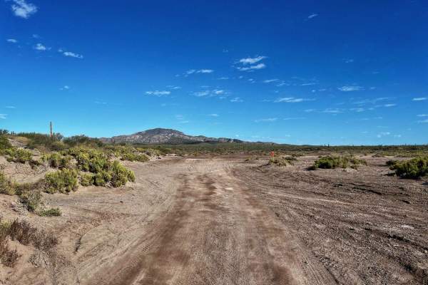
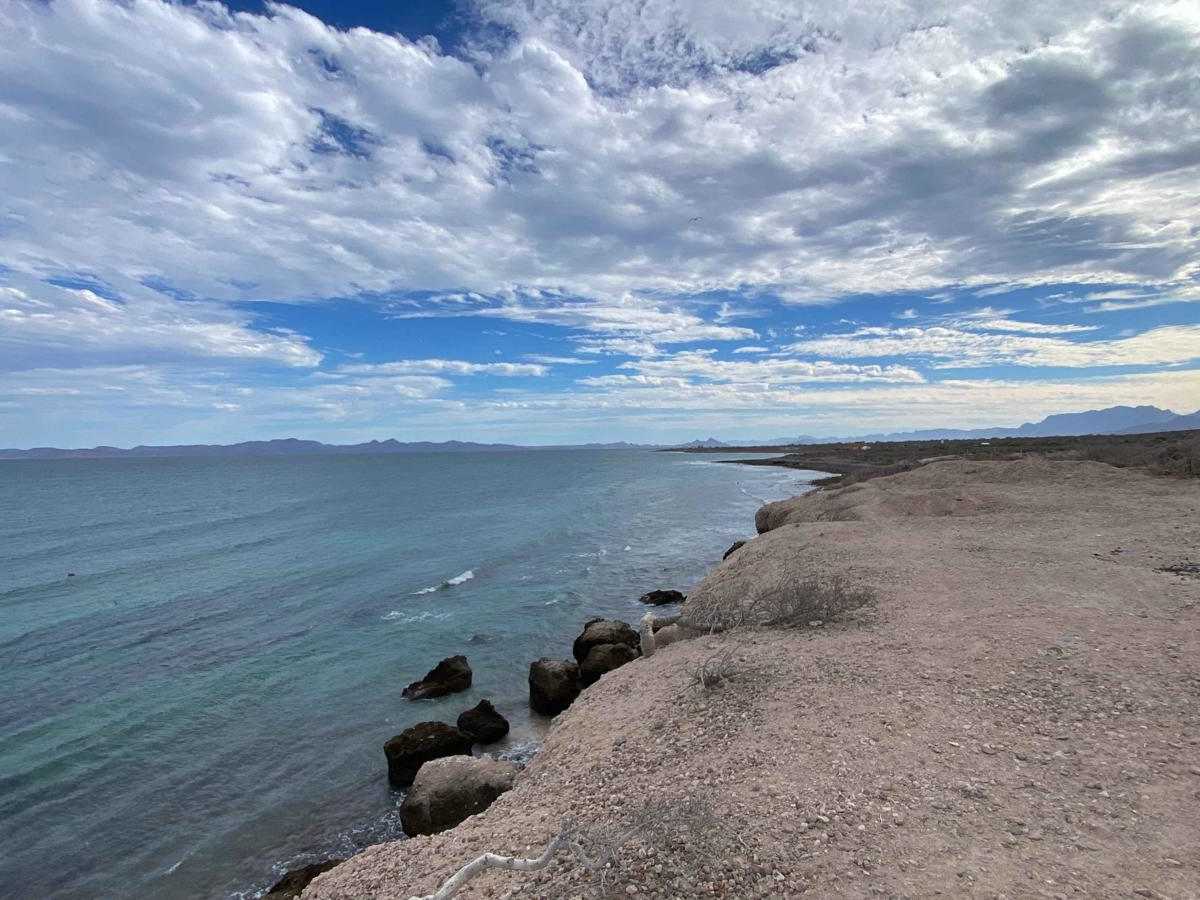
The Loreto Coastal Route begins on the outskirts of town, where pavement gives way to dirt, and unfortunately, garbage and dumping areas mar the initial stretch. Once past this, the road becomes washboarded and chunky, running parallel to the ocean but offering limited views due to its low elevation. However, there are several spur trails leading to the coast, where you can find open spots for fishing or camping away from fenced properties. The route continues past a mix of private land and open spaces, eventually climbing to higher ground with beautiful ocean viewpoints. Just as the scenery becomes more rewarding, the trail ends abruptly at a large wooden gate.

Photos of Camino Al Bajo

Difficulty

This trail is not particularly difficult, and most high-clearance 2WD vehicles should be able to complete it without issue, provided conditions are dry.

Technical Rating

1

Camino Al Bajo Trail can be accessed by the following ride types:

  • Single Track
  • 50 Inch
  • 60 Inch
  • High Clearance
  • Full Width

Camino Al Bajo Map

The onX Offroad Difference

onX Offroad combines trail photos, descriptions, difficulty ratings, width restrictions, seasonality, and more in a user-friendly interface. Available on all devices, with offline access and full compatibility with CarPlay and Android Auto. Discover what you're missing today!

Open Trail Map