Mont des Castors

Total Miles1.8
Technical Rating
2Easy
Best TimeSummer, Fall
Trail TypeFull-Width Road
Accessible By
Open Trail Map

Trail Overview

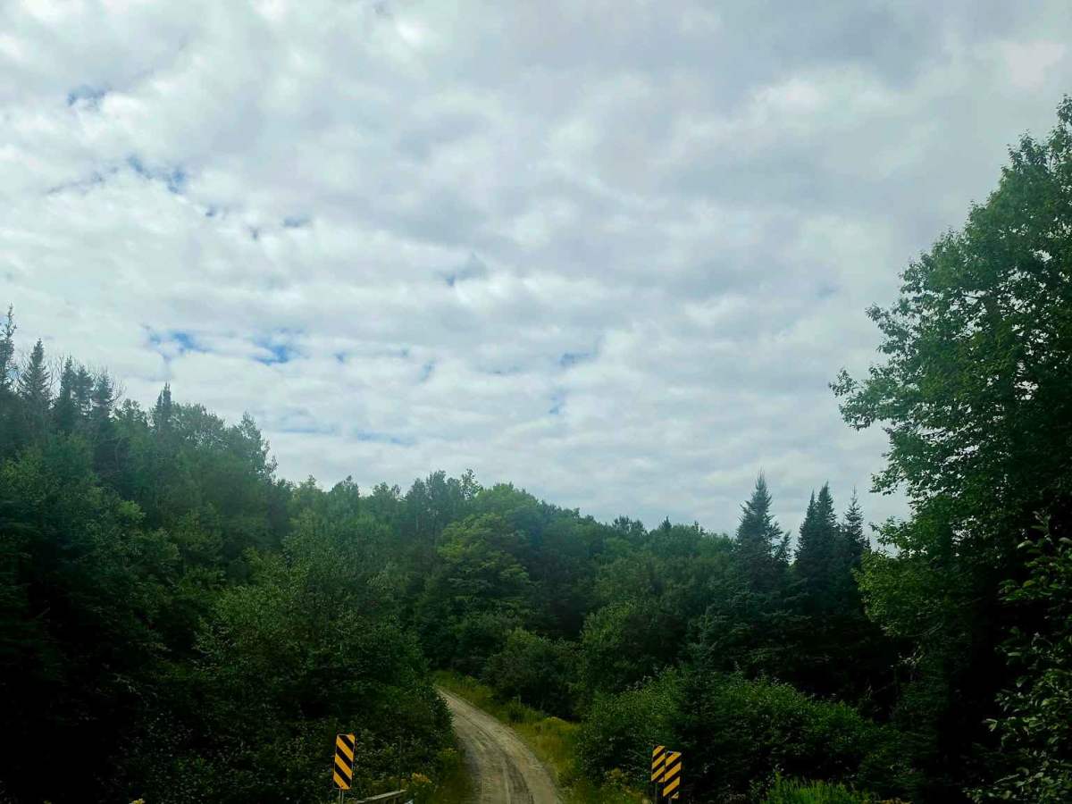
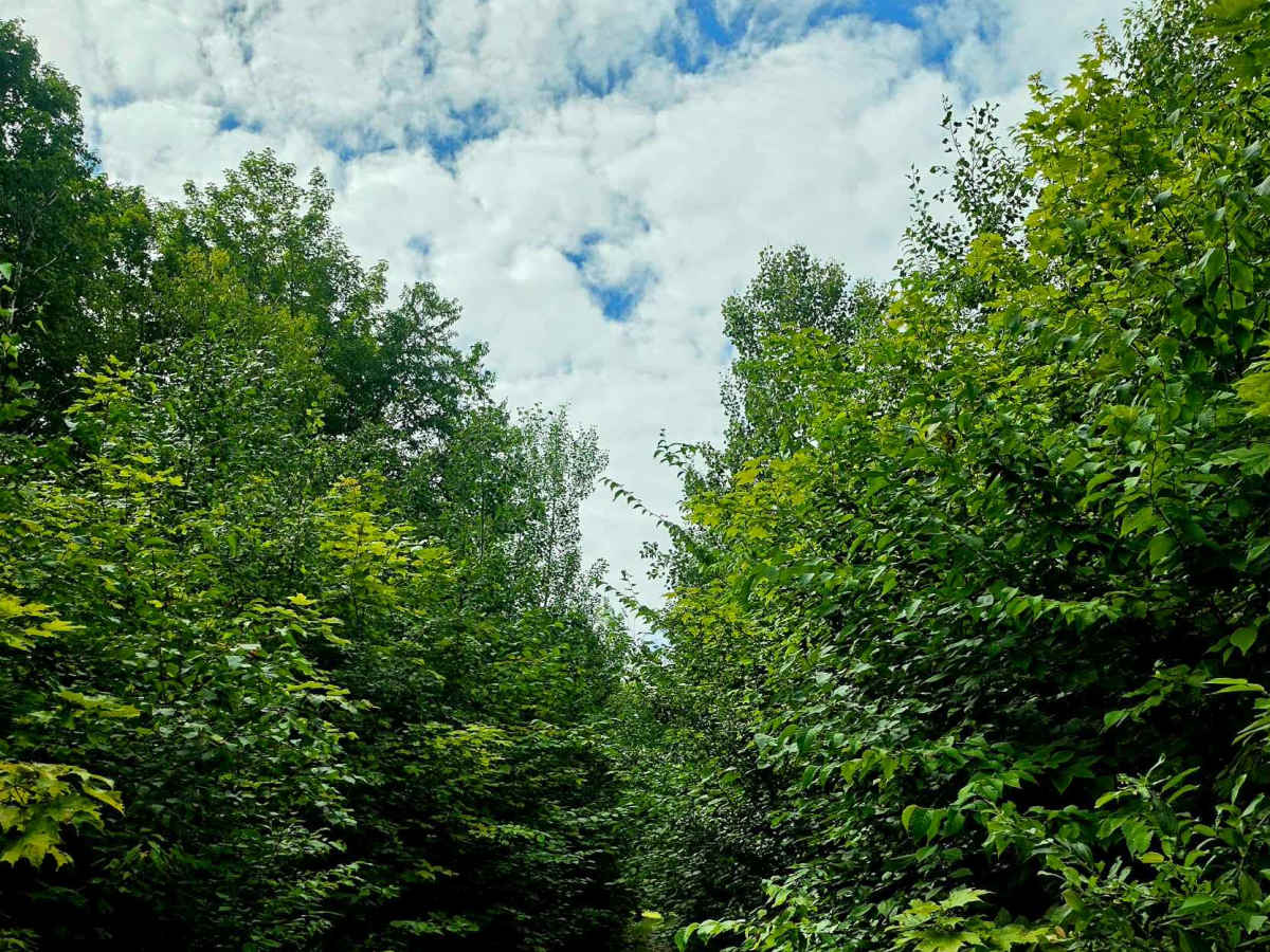
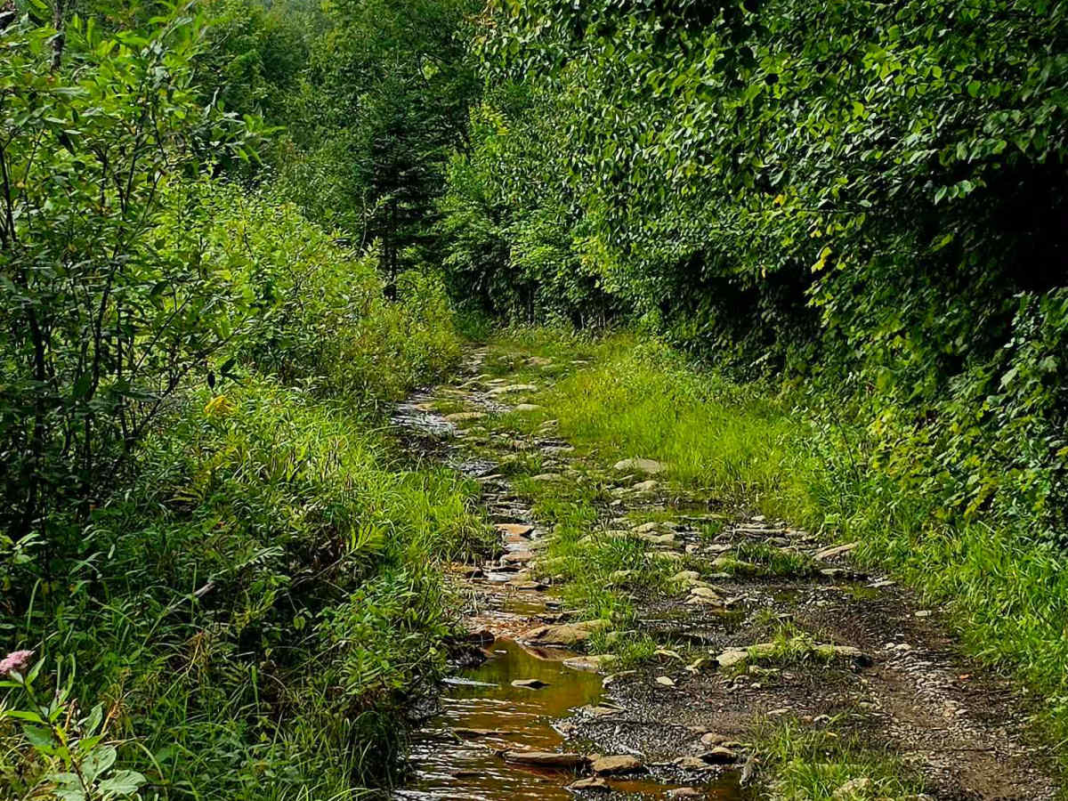
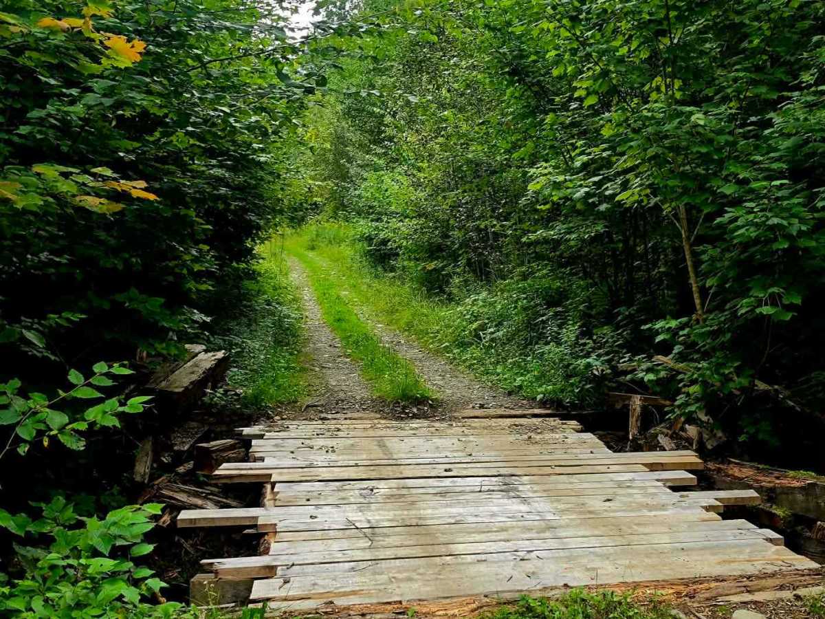
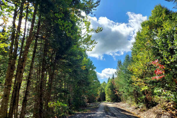
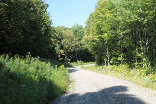
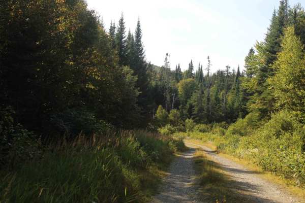
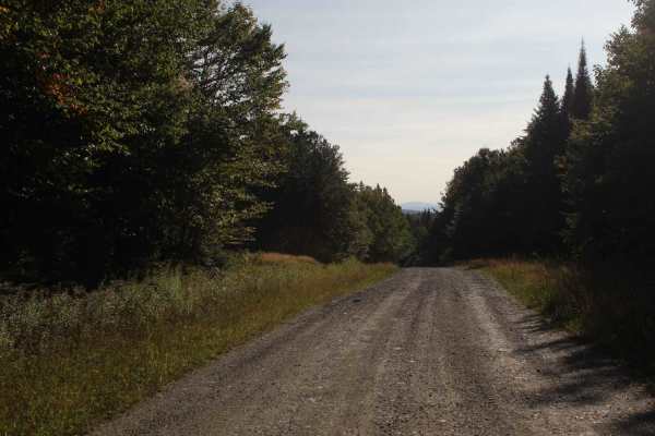
An easy 3-kilometer 4x4 trail located near Woburn, Quebec. The route gradually climbs through mountainous forest terrain with approximately 256 meters of elevation gain. The trail features forest sections, rocky terrain, climbs, narrow passages, and areas that can become significantly more technical when wet. Good ground clearance and proper off-road tires are recommended. A great trail for anyone looking for something more challenging than a typical forest road while enjoying the mountainous scenery around Woburn.

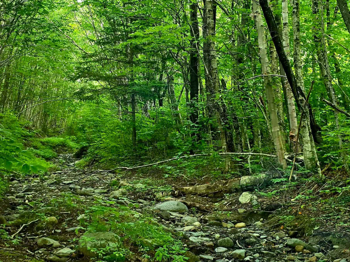
Photos of Mont des Castors

Difficulty

The trail winds through dense forest with rocky sections, steady climbs, and a few tighter technical spots. Conditions can change quickly after rain, making some sections more challenging. A capable 4x4 with good ground clearance and all-terrain or mud-terrain tires is recommended.

Technical Rating

2

Mont des Castors Trail can be accessed by the following ride types:

  • Single Track
  • 50 Inch
  • 60 Inch
  • High Clearance
  • Full Width

Mont des Castors Map

The onX Offroad Difference

onX Offroad combines trail photos, descriptions, difficulty ratings, width restrictions, seasonality, and more in a user-friendly interface. Available on all devices, with offline access and full compatibility with CarPlay and Android Auto. Discover what you're missing today!

Open Trail Map