Trail Overview
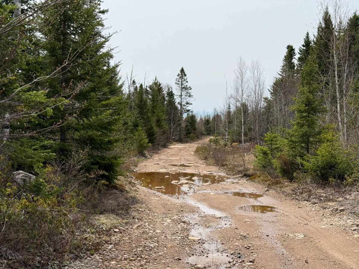
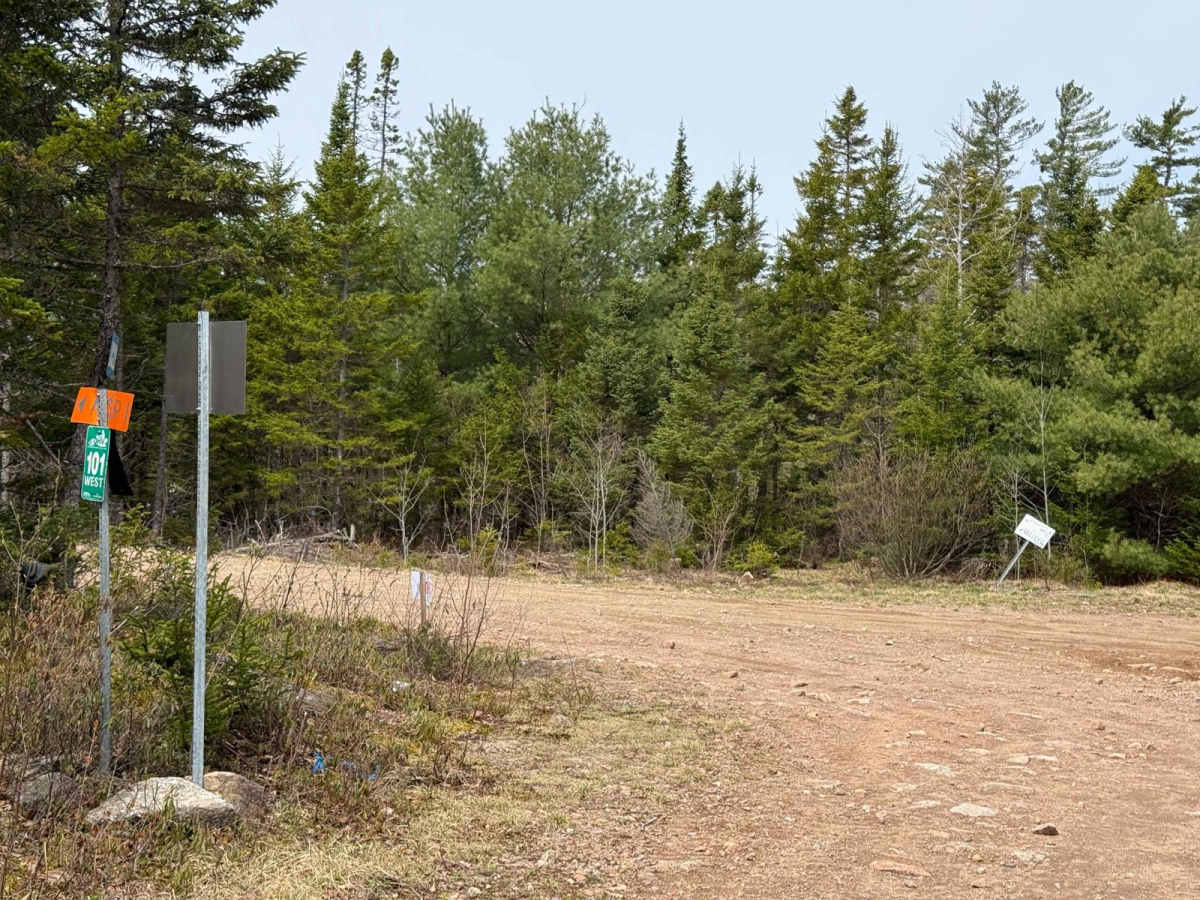
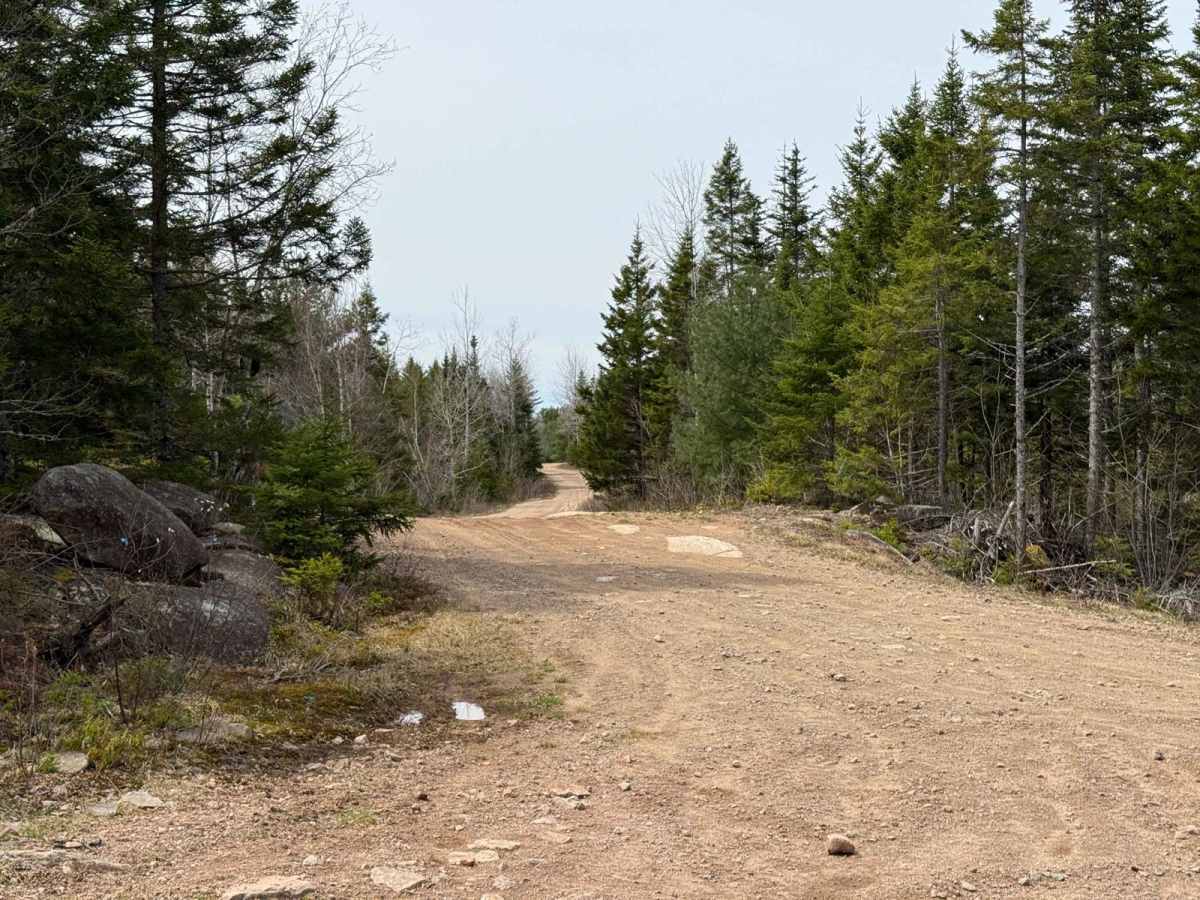
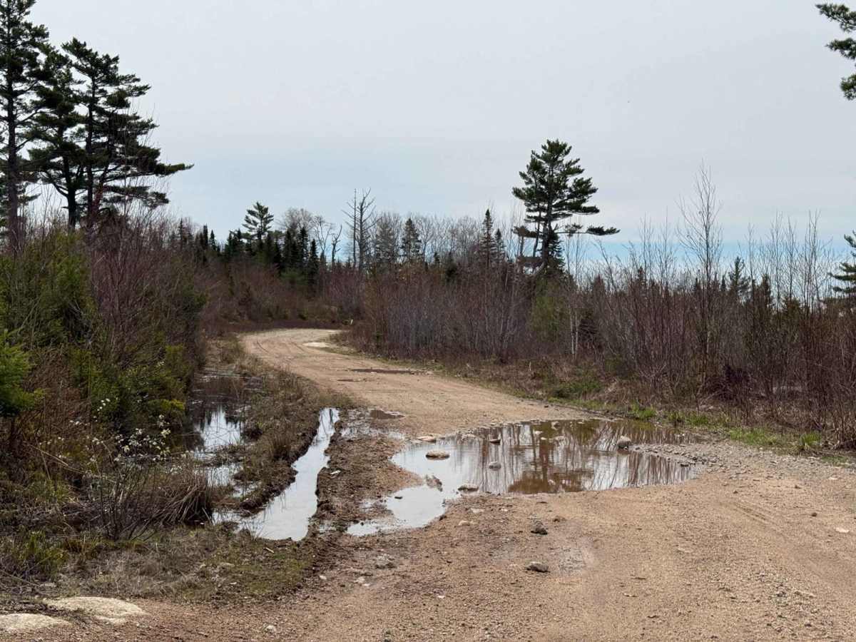
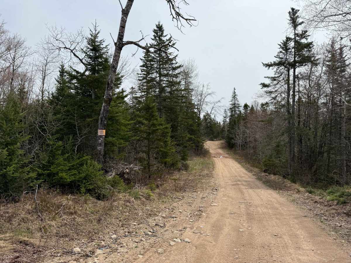
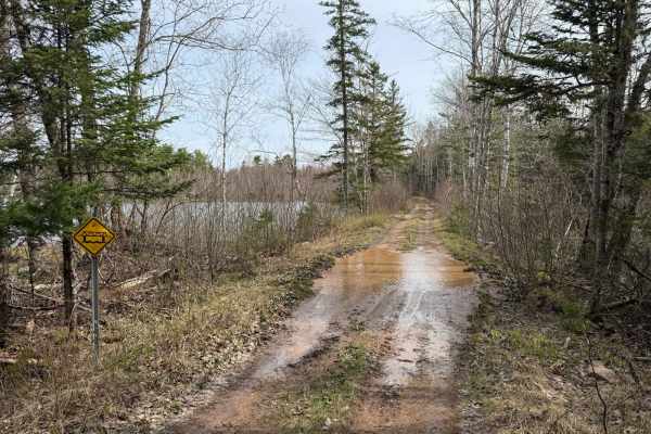
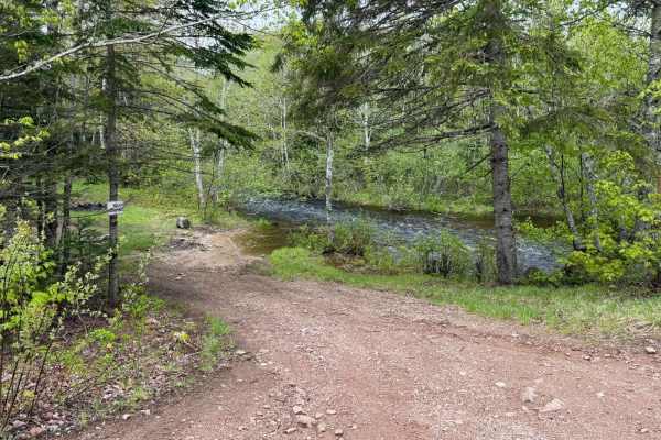
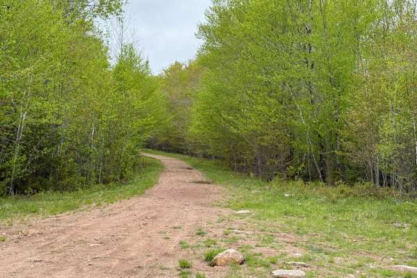
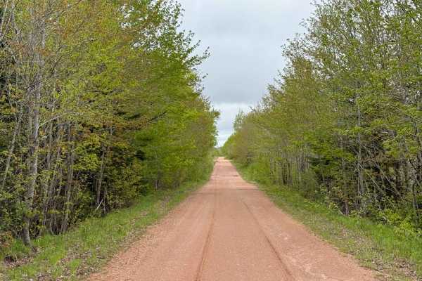
The south end of Route 12 starts at the end of the paved section of Mill Road near Wallaback Lake. Upon reaching the cul-de-sac at the end of the pavement, the trail begins, appearing like someone's gravel driveway. After passing a house and barn, keep left at the first and second Y intersections. From here, Route 12 transitions into a well-used, hard-packed dirt road, wide enough for two vehicles to pass. The trail features large puddles, a few small washouts, and exposed rocks. Along the route, you'll pass some abandoned mines, adding a touch of history to the journey.
Difficulty
Route 12 presents small ruts, exposed rocks, and large water holes. While it's manageable for most vehicles with decent ground clearance, some obstacles may require careful navigation.
History
Mill Road, which forms the southern approach to Route 12, has deep roots in the industrial history of New Ross. In the late 1800s, the area around Mill Road was a hub for manganese mining, providing employment until about 1950. Additionally, the region was known for its numerous mills--by the 1880s, New Ross boasted around 50 mills powered by the area's abundant lakes and rivers. The name "Mill Road" itself reflects this heritage, as it was the route leading from New Ross to one of the principal area mills. The first land grant along Mill Road was awarded to Richard Russel in 1865. Today, travellers along Route 12 can observe remnants of this industrial past, including abandoned mines and the well-worn paths that once supported the region's bustling milling and mining activities.