Trail Overview
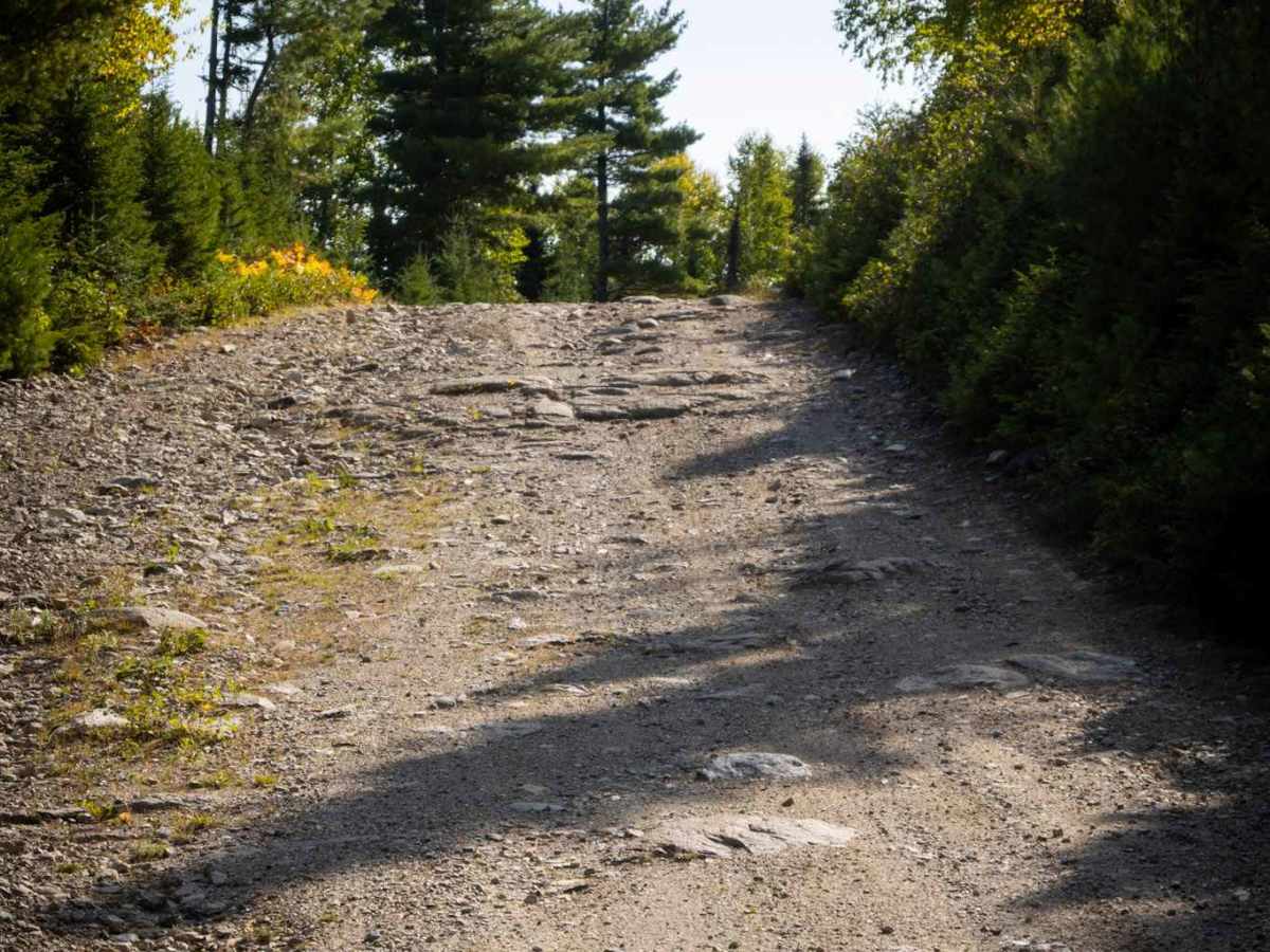
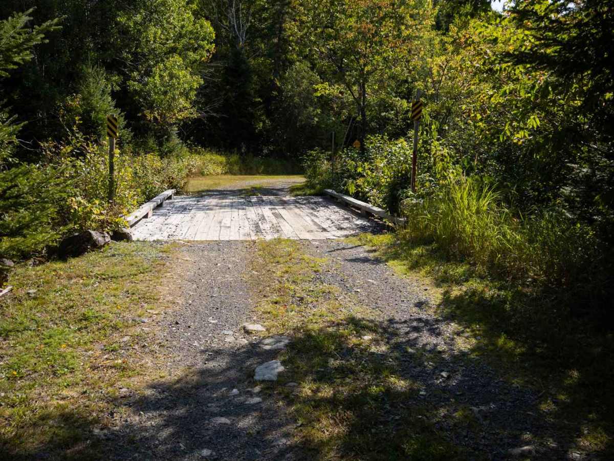
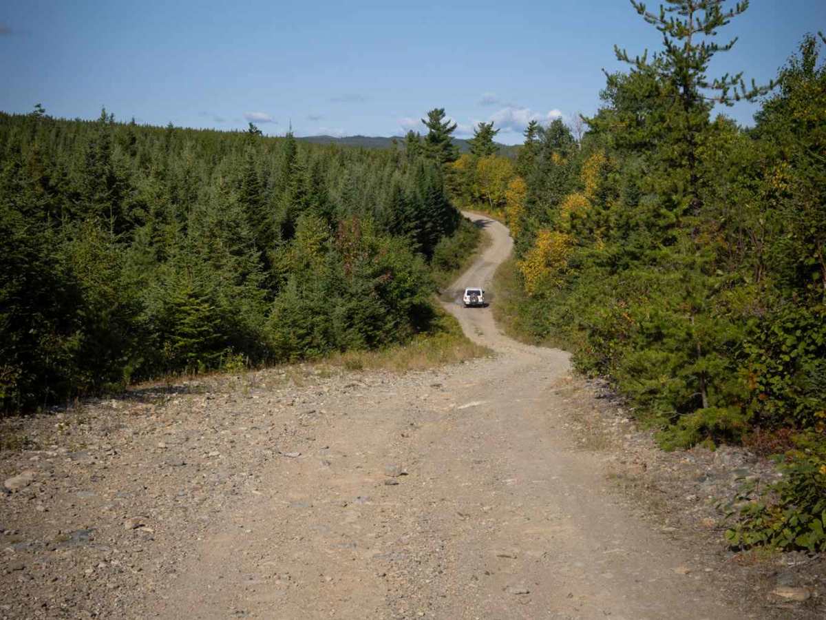
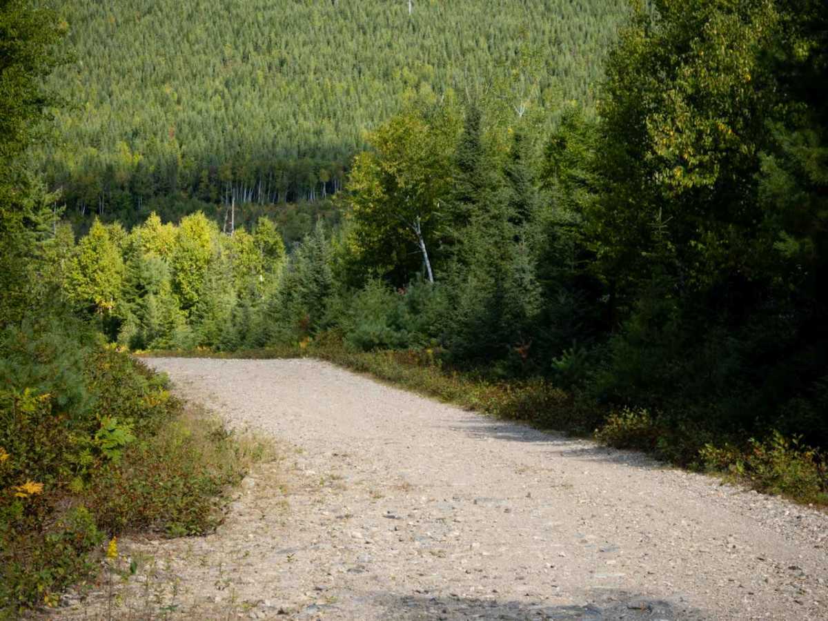
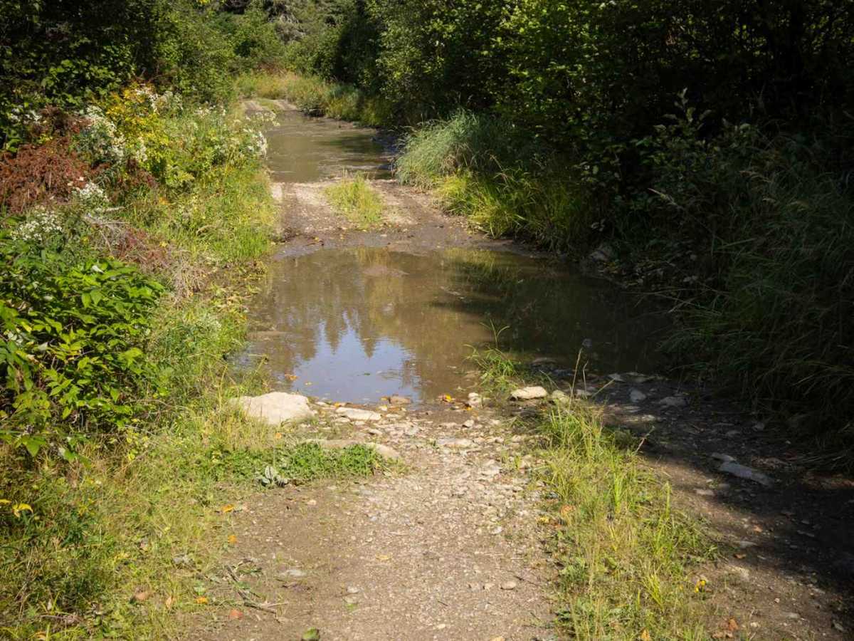
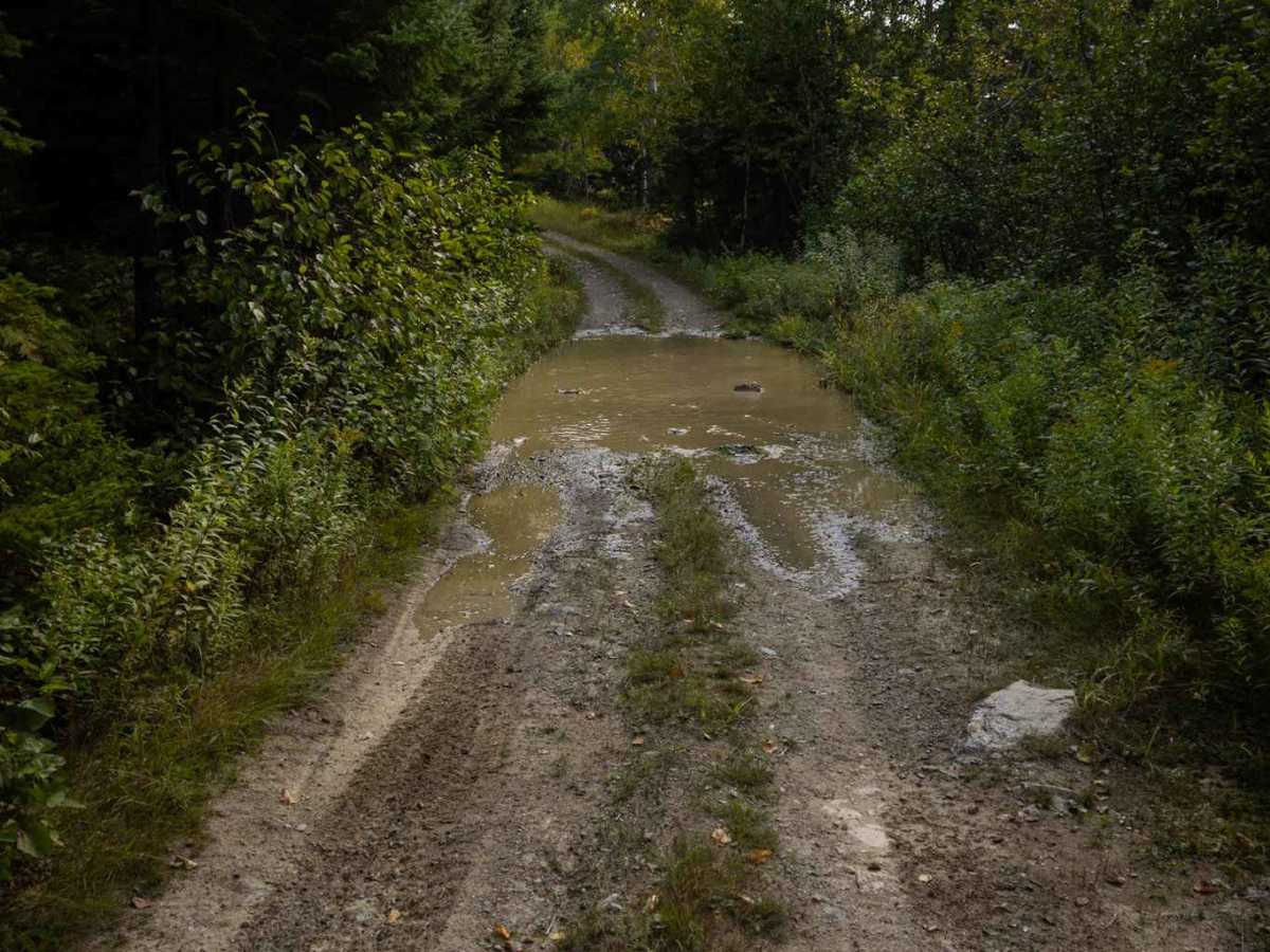
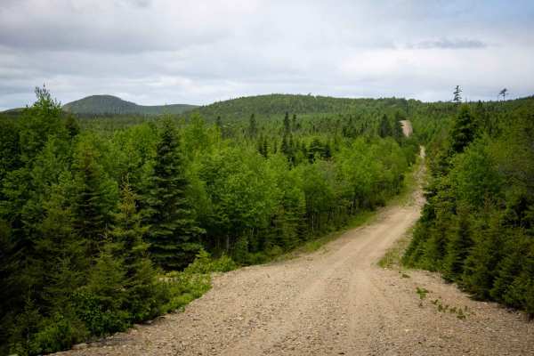
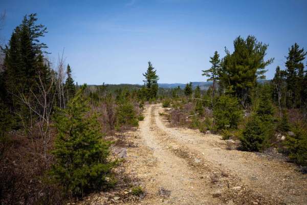
This is a single-lane dirt track with ample opportunities for passing. Expect multiple full-width water crossings, whose depth is highly seasonal. After snowmelt, some of these puddles can easily exceed 12 inches (30 centimeters) deep. While rocks encountered within the water crossings were less than 12 inches (30 centimeters) high at the time of publication, always proceed with caution. The trail follows New Brunswick Snowmobile Trail #22 (east/west). Seasonal Closure Alert: This is a designated snowmobile trail. Be sure to check local regulations, as it is typically closed from December 1st to April 15th. Be aware that cell service is mostly unavailable on this trail, although you might find weak reception at higher elevations.
Difficulty
Dirt track, unmaintained after rain or snow, with water crossings typically less than 12 inches deep. Be aware that in the spring or after heavy rain, water levels may be greater than 12 inches deep, and some sections may be very soft.