Mount Fronsac Trail

Total Miles16
Technical Rating
2Easy
Best TimeSpring, Summer, Fall
Trail TypeFull-Width Road
Accessible By
Open Trail Map

Trail Overview

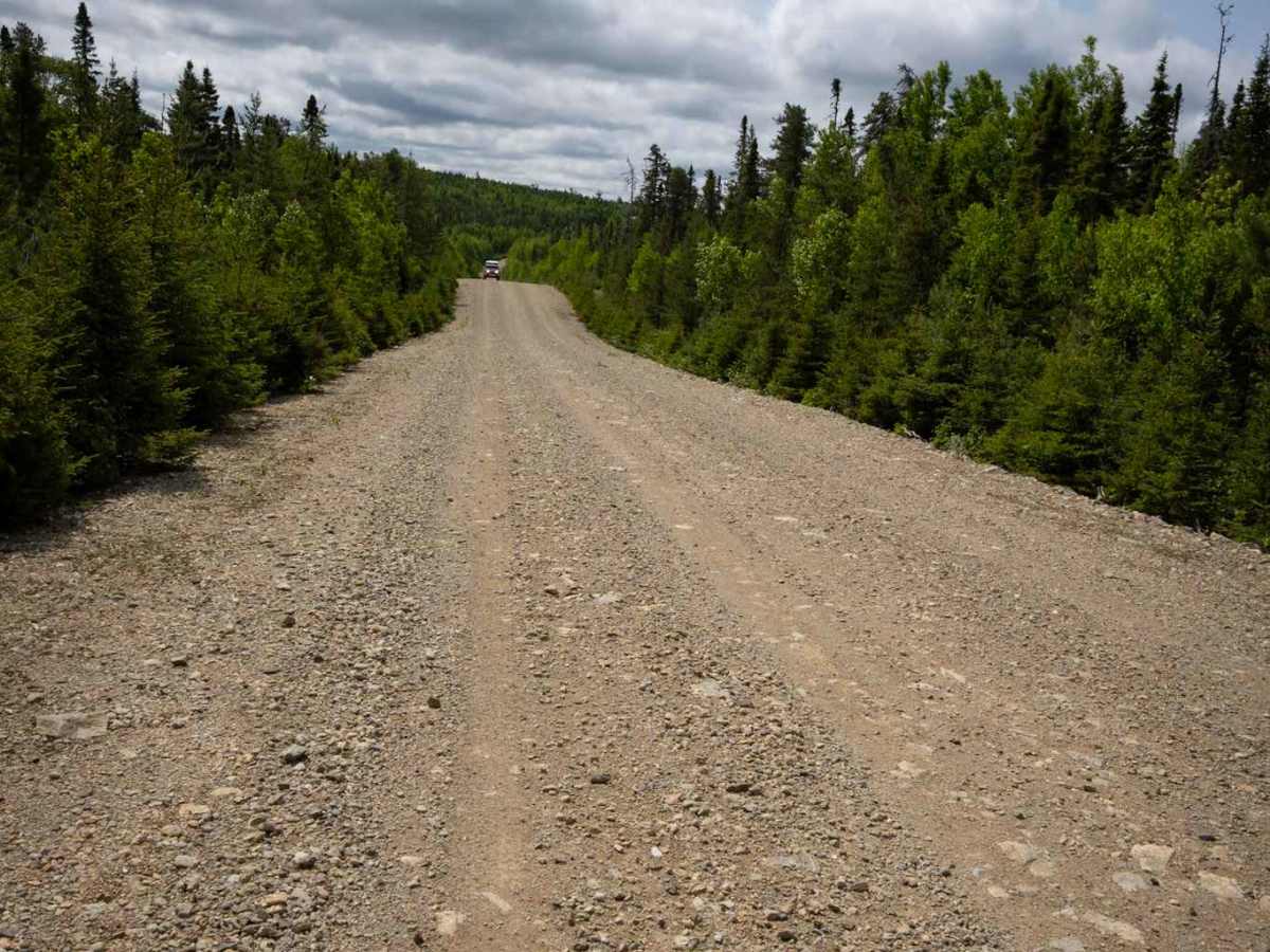
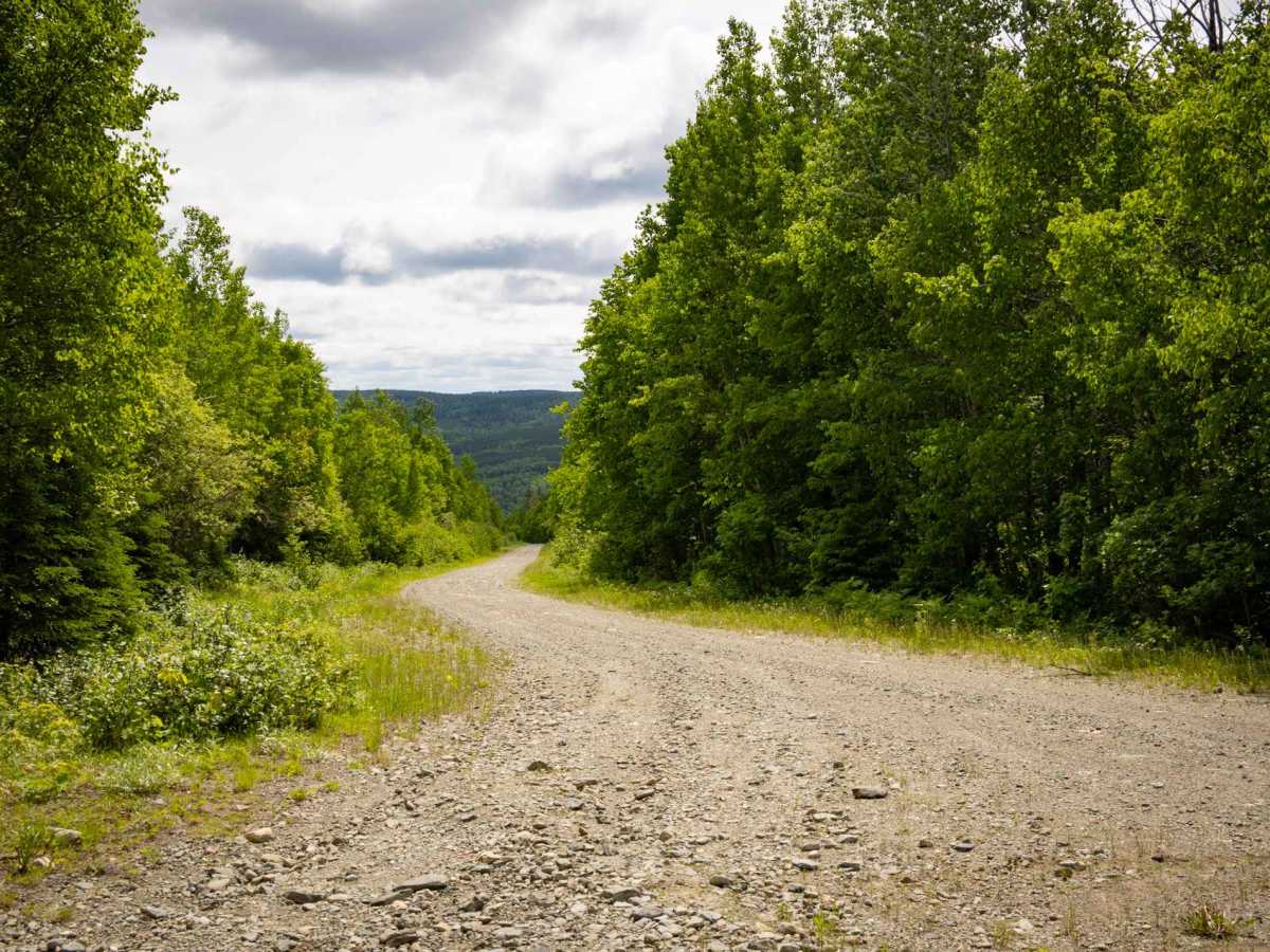
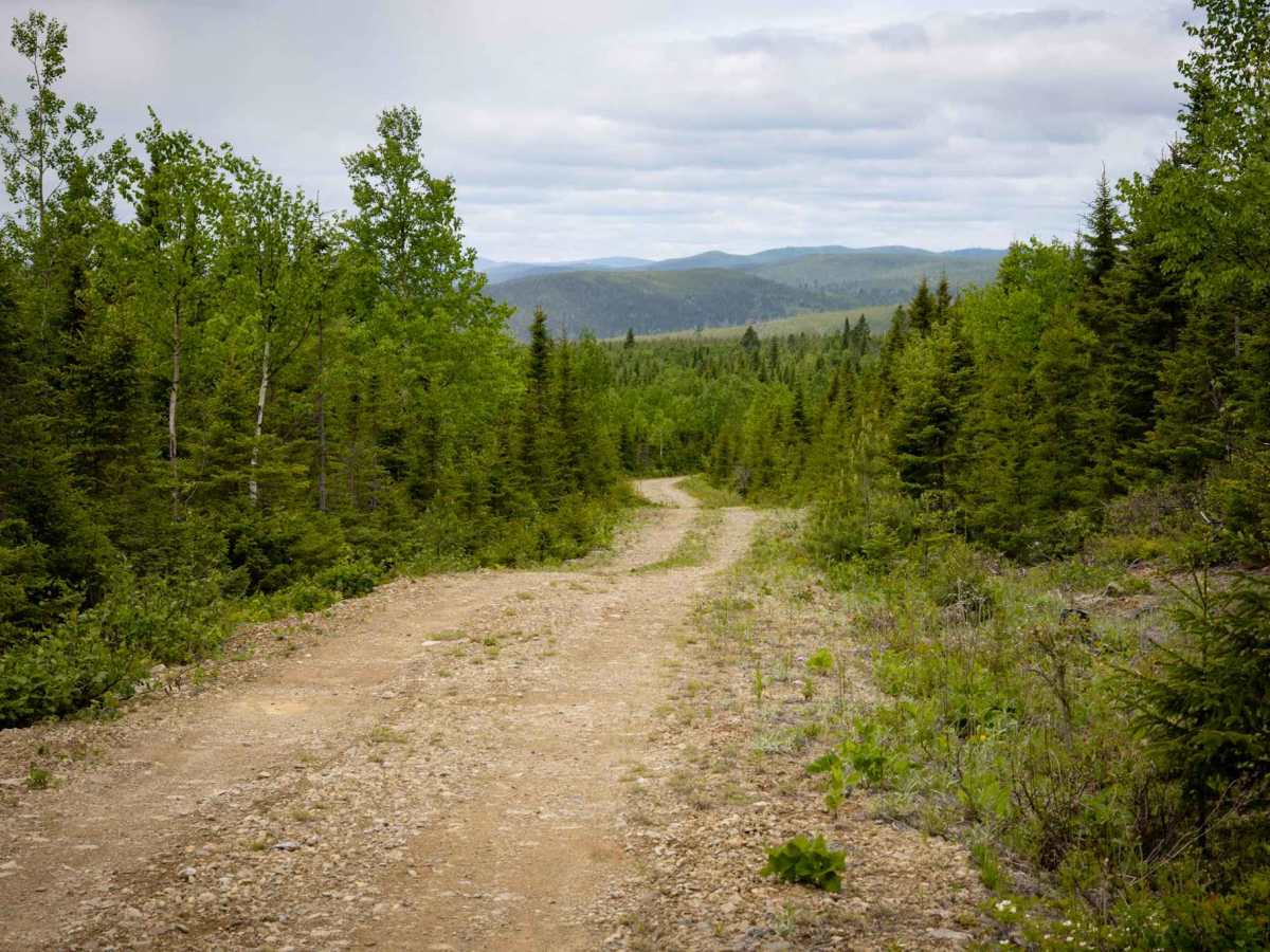
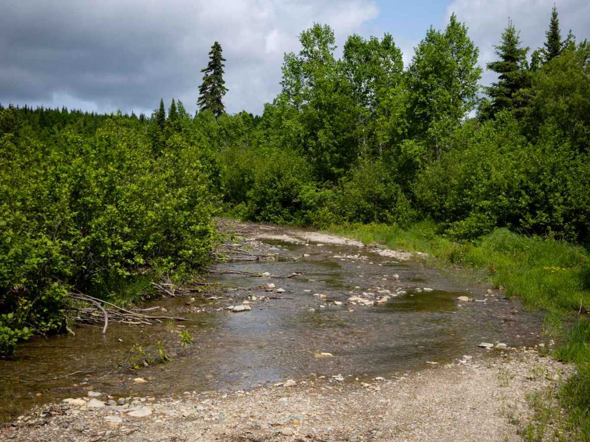
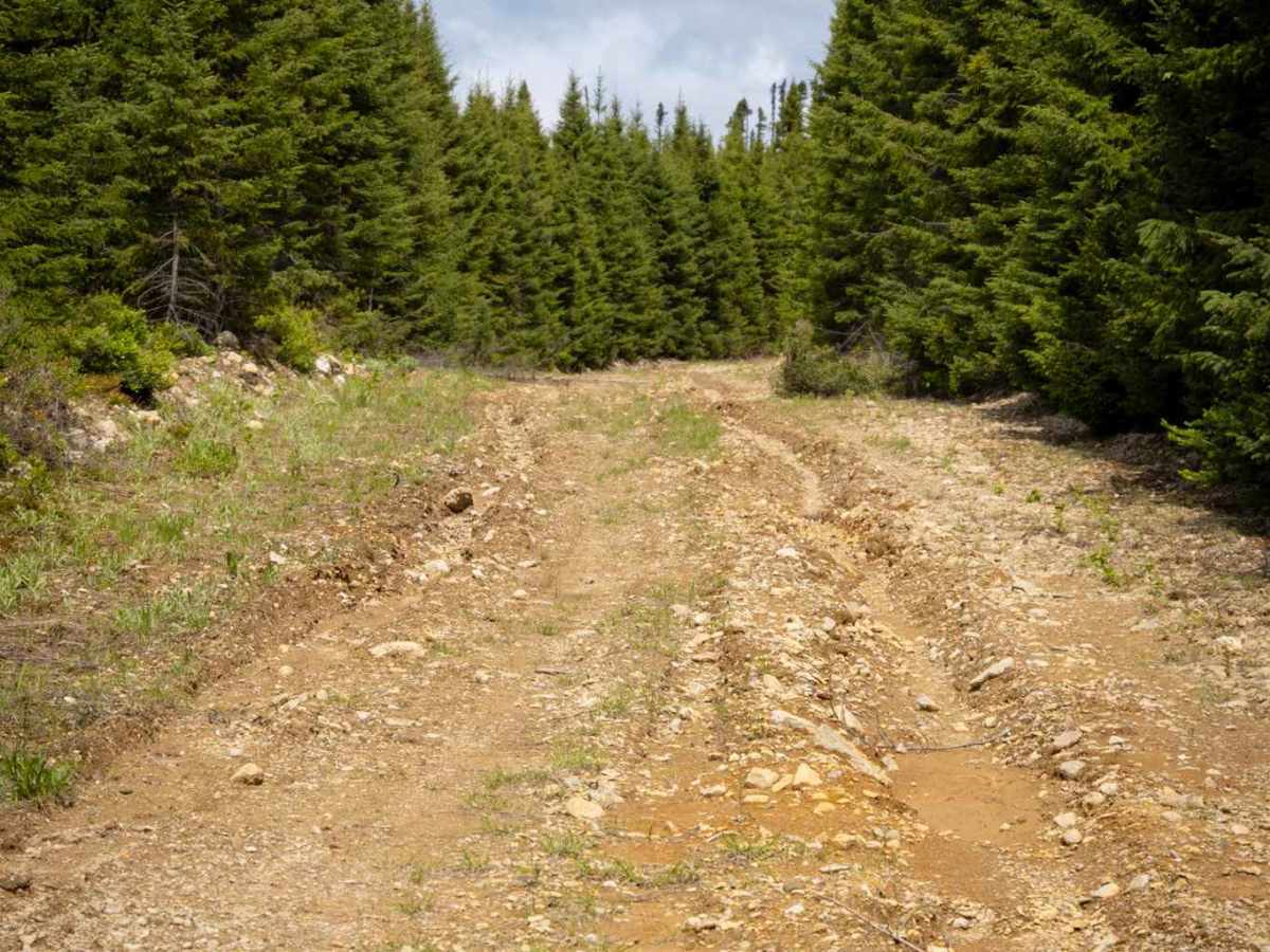
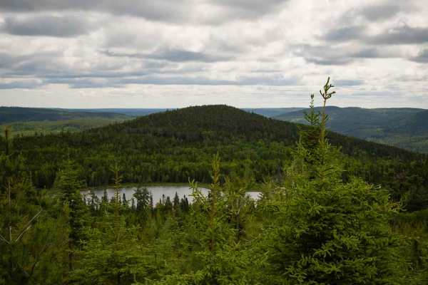
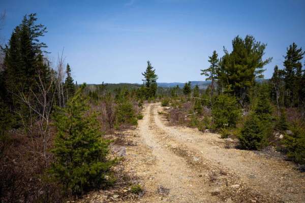
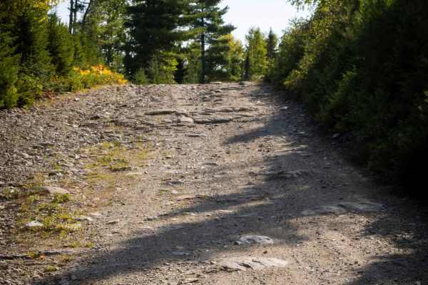
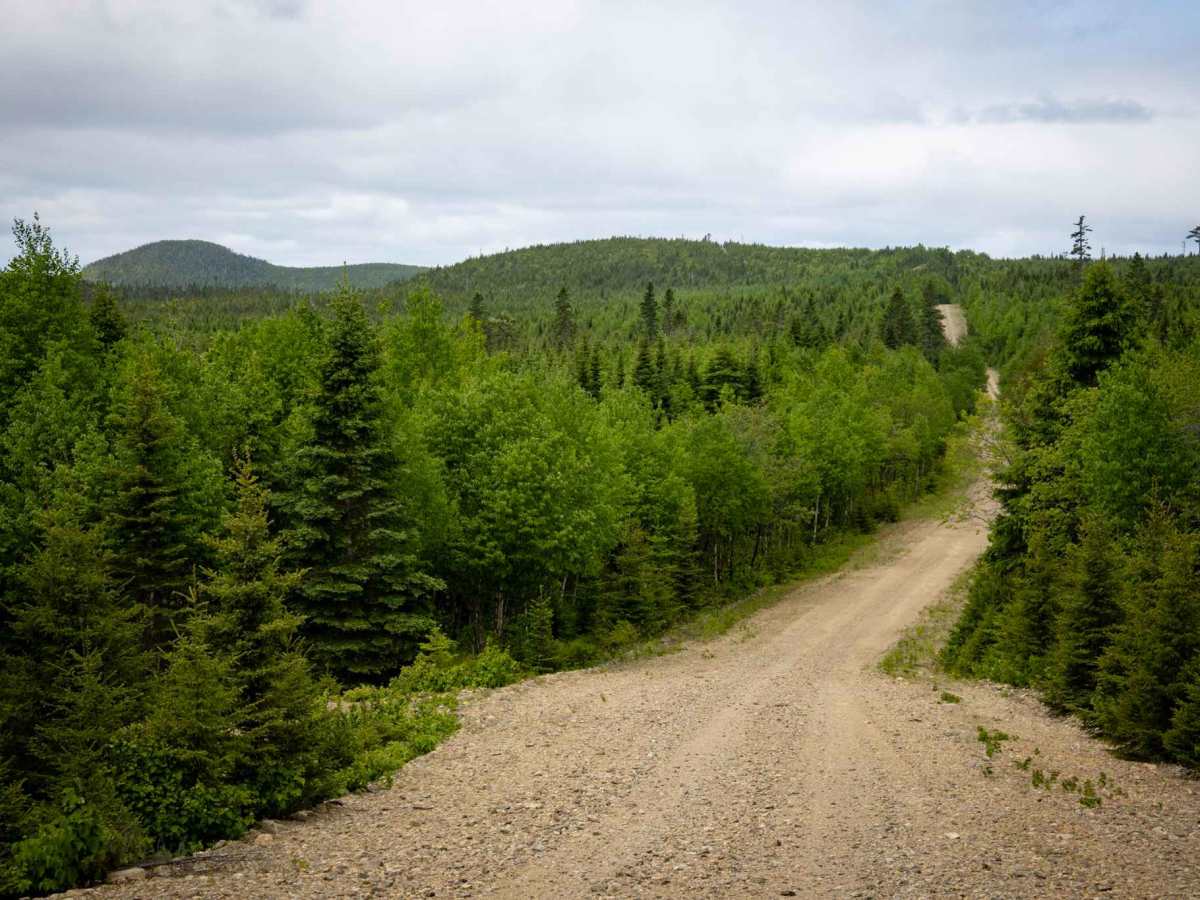
The Mount Fronsac Trail is a scenic route that winds from Knoll Spruce Road (also known as the "river road") to the windmill area near the Road to Resources (Route 180), circling Mount Fronsac. This unmaintained trail offers varied terrain. You'll find sections that are a single vehicle wide with passing areas, while others are wide enough for two vehicles. The surface ranges from well-compacted dirt to areas with shallow water and ruts, all less than 12 inches deep. Expect snowy sections into mid-spring and some soft areas until the trail completely dries out. While there may be some downed trees, a single high-clearance vehicle should be able to navigate through. Cell service is generally unavailable, with reception only at the highest elevation points along the trail.

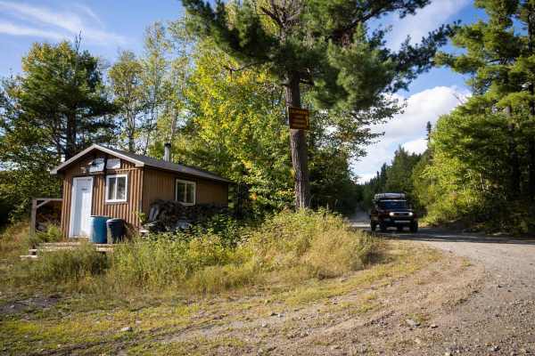
Photos of Mount Fronsac Trail

Difficulty

Dirt or rocky road, typically unmaintained after rain or snow. The road is one to two vehicles wide.

History

Ancient Origins: The rocks around Mount Fronsac and within the broader Bathurst Mining Camp date back to the Middle Ordovician period. These rocks are predominantly volcanic, formed during the rifting of a submarine volcanic arc on the continental margin of "Ganderia," leading to the formation of a "Sea of Japan-style" basin known as the Tetagouche-Exploits back-arc basin.

Technical Rating

2

Mount Fronsac Trail Trail can be accessed by the following ride types:

  • Single Track
  • 50 Inch
  • 60 Inch
  • High Clearance
  • Full Width

Mount Fronsac Trail Map

The onX Offroad Difference

onX Offroad combines trail photos, descriptions, difficulty ratings, width restrictions, seasonality, and more in a user-friendly interface. Available on all devices, with offline access and full compatibility with CarPlay and Android Auto. Discover what you're missing today!

Open Trail Map