Trail Overview
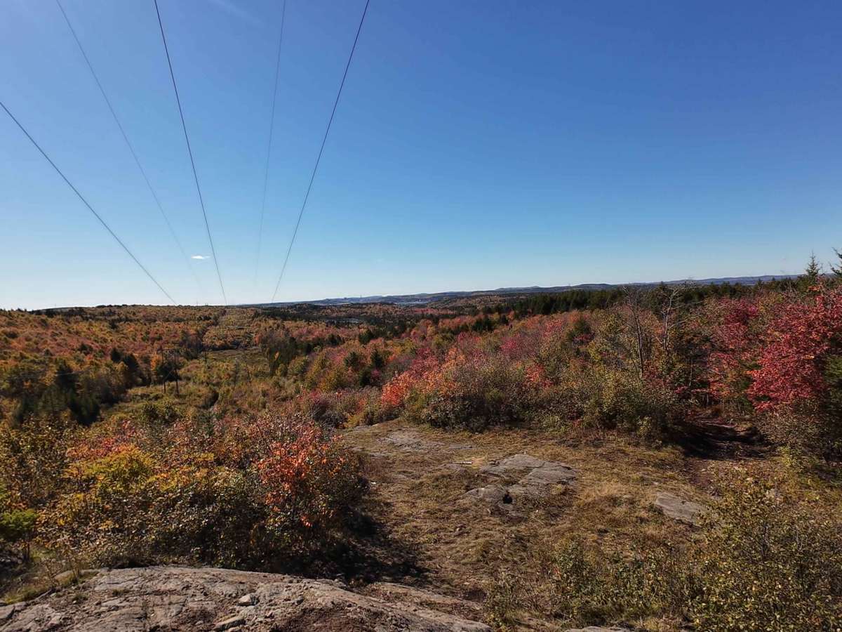
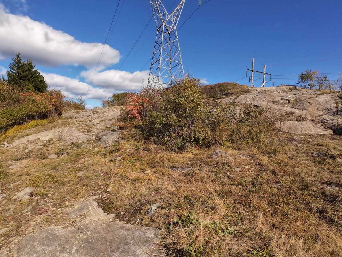
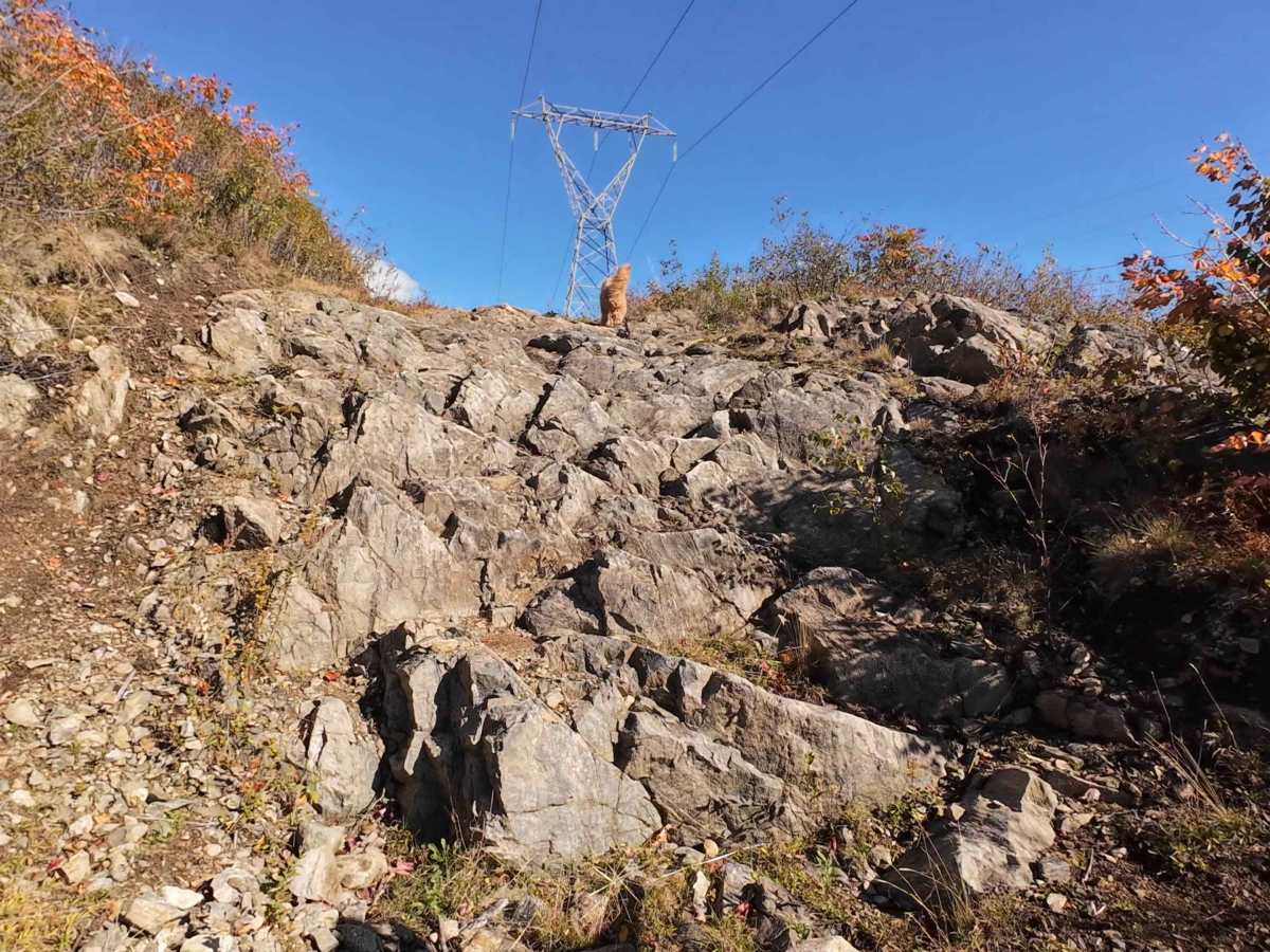
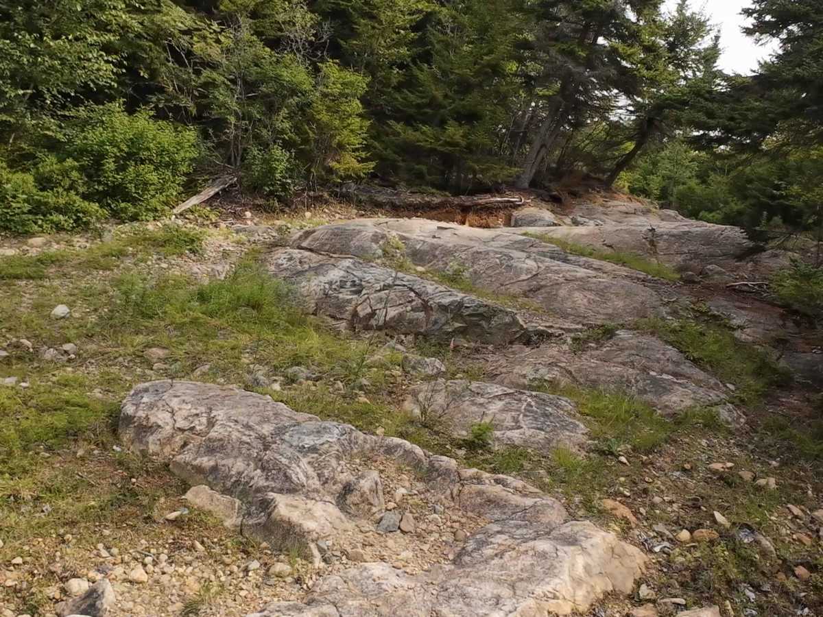
This trail offers numerous routes to Tower 41, ranging from easy to difficult, all eventually connecting to the tower. Tower 41 is part of a powerline route that connects to the Top of the Town trail. Near the end, three options lead to the tower, including an optional rock wall climb reaching a 33-degree angle with uneven terrain that can cause significant wheel lift, even on vehicles with solid front axles. This obstacle can be bypassed using either a V-notch rock feature or a steep climb with loose rocks. The V-notch requires careful line selection to avoid rocker panel or door damage. Another challenging obstacle, known as "The Shout," resembles a staircase made of flat rock and can cause vehicles to become hung up without proper line selection. Several mud holes are present, including one with a particularly soft bottom that may require additional throttle to navigate. Some sections are narrow enough to cause pinstriping. A winch and locking differentials are highly recommended, although the trail may be completed without lockers by using the available bypasses.
Difficulty
Even with the most difficult obstacles bypassed, this trail still features challenging rock climbs. The toughest is "The Shout," a staircase obstacle that can easily high-center a vehicle. The "V Notch" obstacle also presents a risk of rocker panel or door damage with incorrect line selection. A winch is highly recommended.






 Offroad