Top of the Town

Total Miles1.3
Technical Rating
5Moderate
Best TimeSpring, Summer, Fall
Trail TypeFull-Width Road
Accessible By
Open Trail Map

Trail Overview

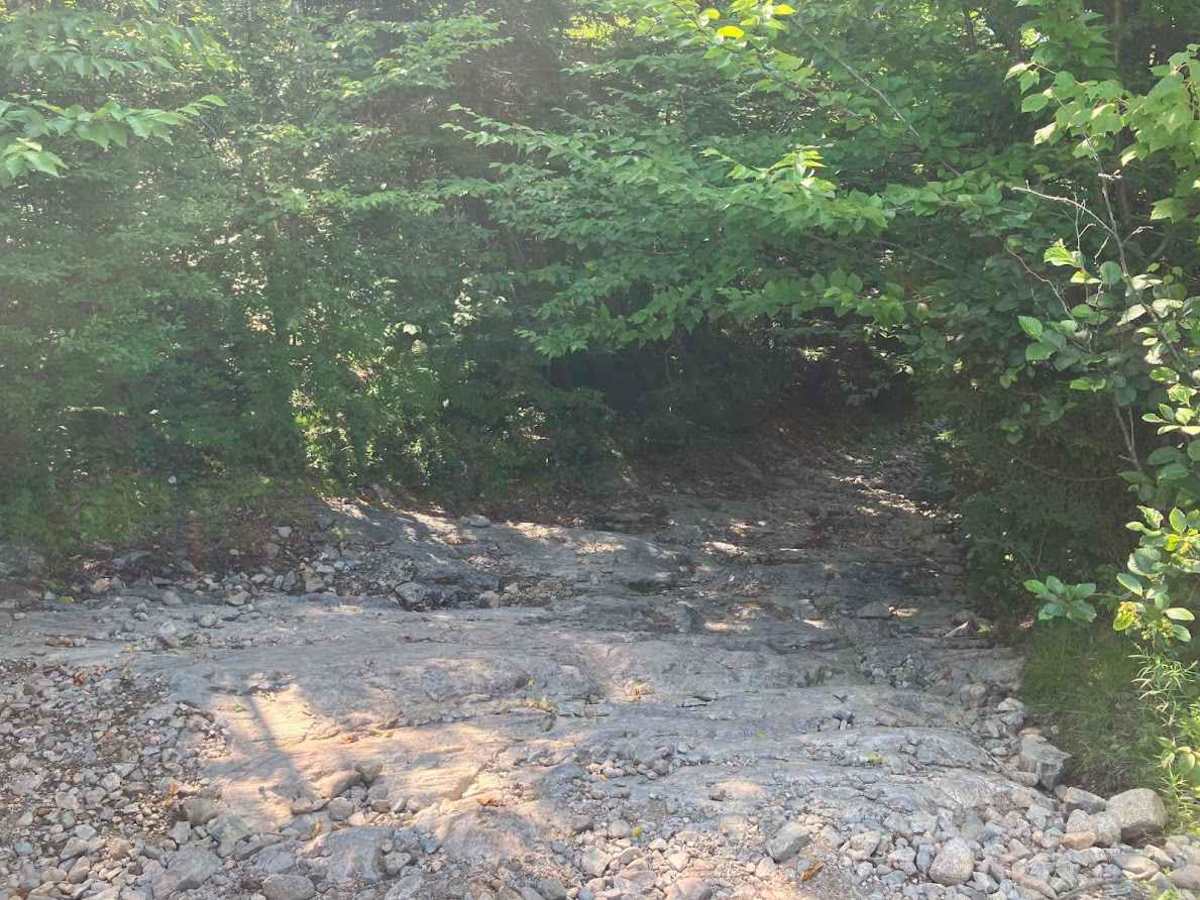
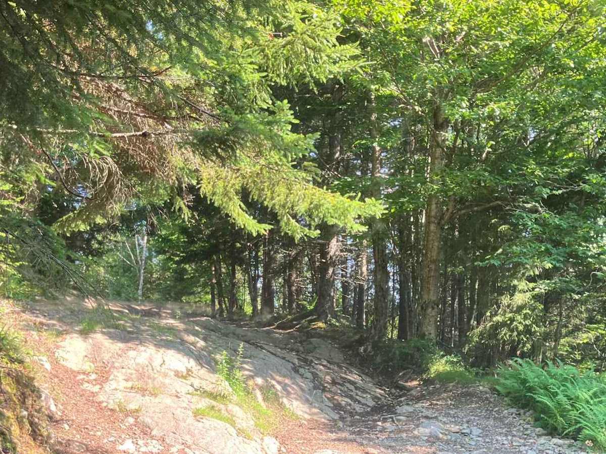
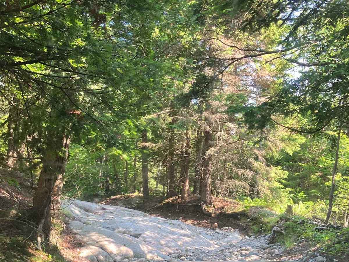
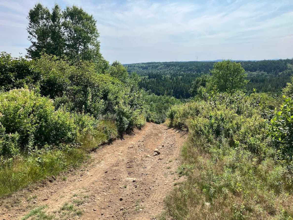
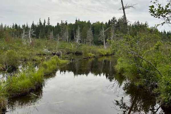
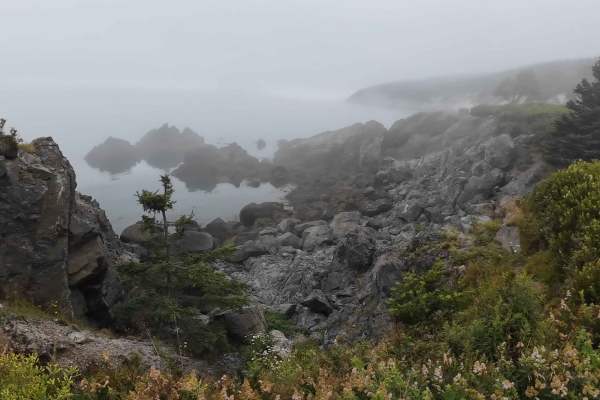
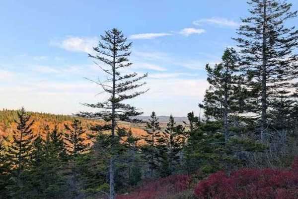
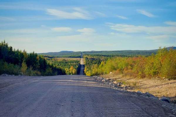
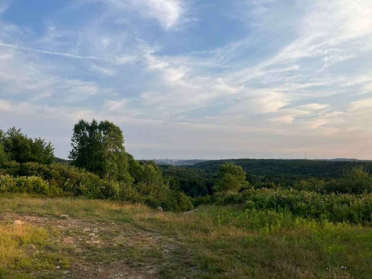
This trail starts at the end of Baxter Road, goes up a loose gravel hill, and around Chalet Lake. When going around the lake, you will go through a small water crossing approximately 12 inches deep and a small rock garden. Following the trail, you will encounter deep ruts and rock faces with ledges approximately 16 inches high. Towards the end of the trail, there is a large hill covered in loose rocks up to 8 inches in diameter, with several paths to the top that open up in a turnaround spot, giving a view of St. John.

Photos of Top of the Town

Difficulty

This trail includes rock faces that require careful line choice and become slick when wet, with off-camber sections adding to the overall challenge.

Technical Rating

5

Top of the Town Trail can be accessed by the following ride types:

  • Single Track
  • 50 Inch
  • 60 Inch
  • High Clearance
  • Full Width

Top of the Town Map

The onX Offroad Difference

onX Offroad combines trail photos, descriptions, difficulty ratings, width restrictions, seasonality, and more in a user-friendly interface. Available on all devices, with offline access and full compatibility with CarPlay and Android Auto. Discover what you're missing today!

Open Trail Map