Trail Overview
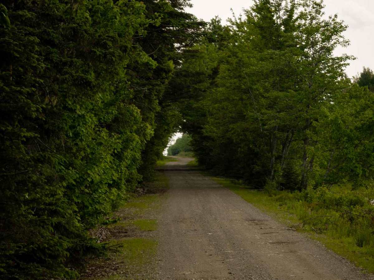
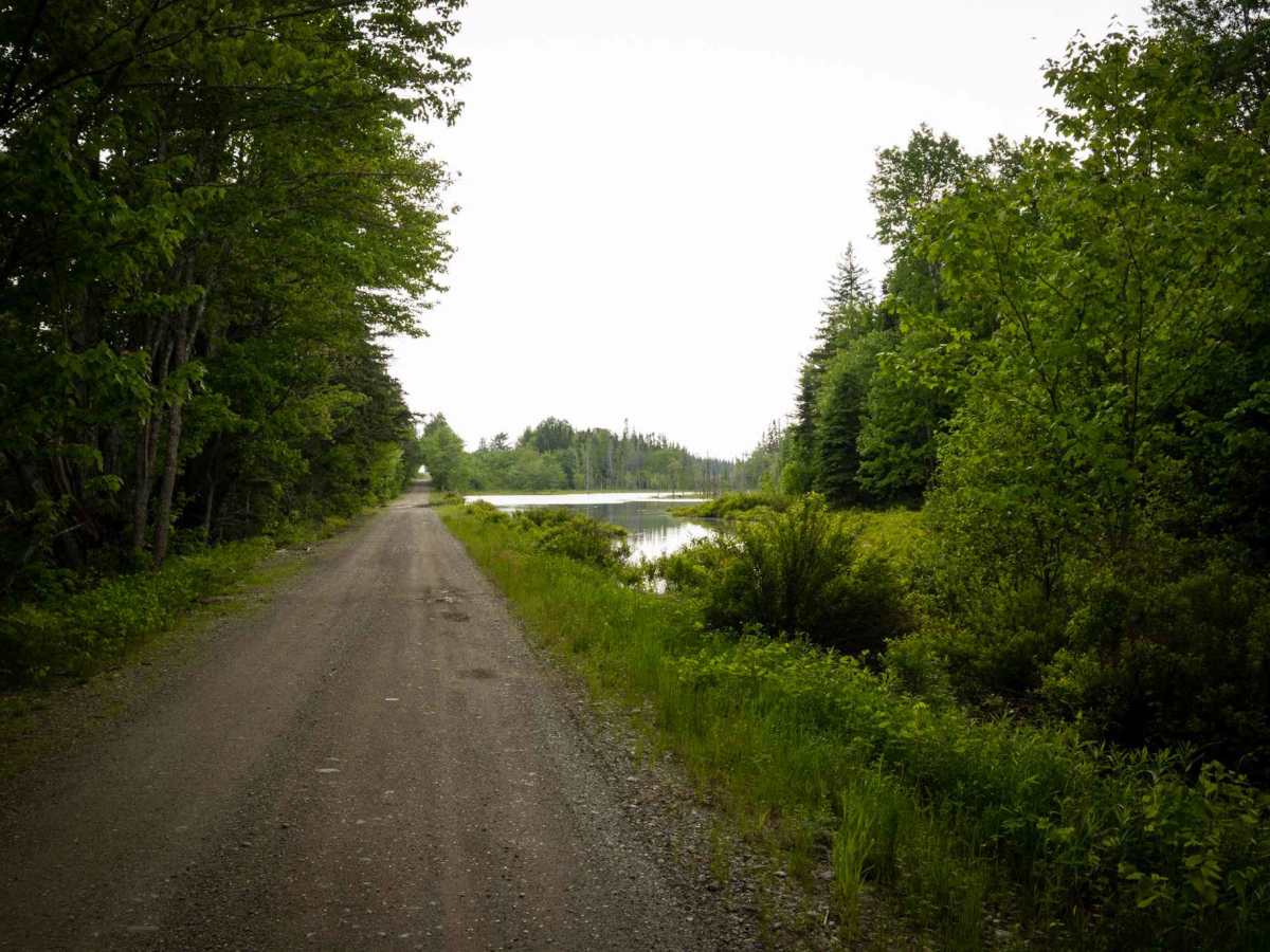
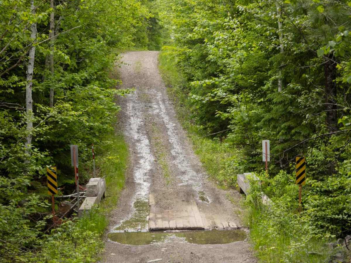
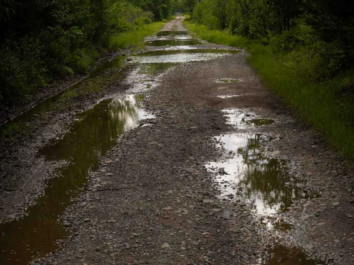
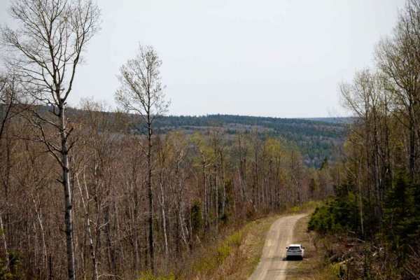
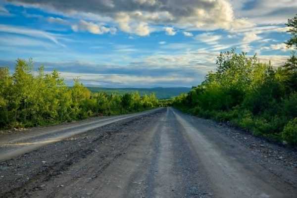
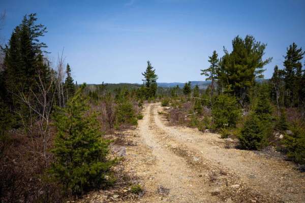
This is a dirt trail following the Nepisiguit River from Middle Landing (Route 360) to the Nepisiguit (Grand) Falls Power Generating Station and offers an easy-going ride. It's wide enough for a single vehicle, with occasional passing spaces. Be prepared for a few water holes and shallow running water spanning the trail, though the water won't be more than a foot deep. If you're heading out in the spring, expect the ground to be soft. Keep in mind that cell service is mostly unavailable along the trail. Also, this is a designated snowmobile trail; therefore, it is closed to vehicles for parts of the year (often December 1st to April 15th).
History
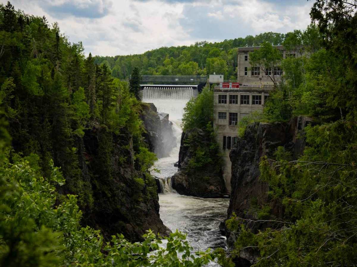
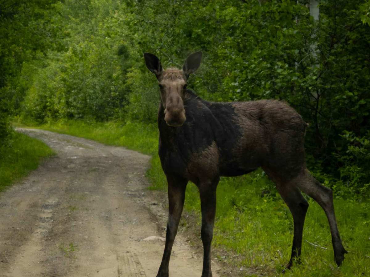
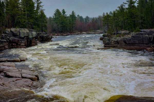
Near the power dam, you can take a short side trail down to the river for a great view of the falls created by the dam. You might even spot a moose during your trip! Historically, the Nepisiguit (Grand) Falls generating station began operations in 1926, a project that took 400 men one and a half years to complete. This area was also once a spot for rock climbing in Northern New Brunswick, but it's now inaccessible due to fencing and "do not enter" signs.