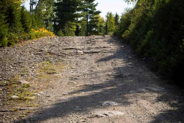
Knoll Spruce River Road

Total Miles22.4
Technical Rating
1Easy
Best TimeSpring, Summer, Fall
Trail TypeFull-Width Road
Accessible By
Open Trail Map

Trail Overview

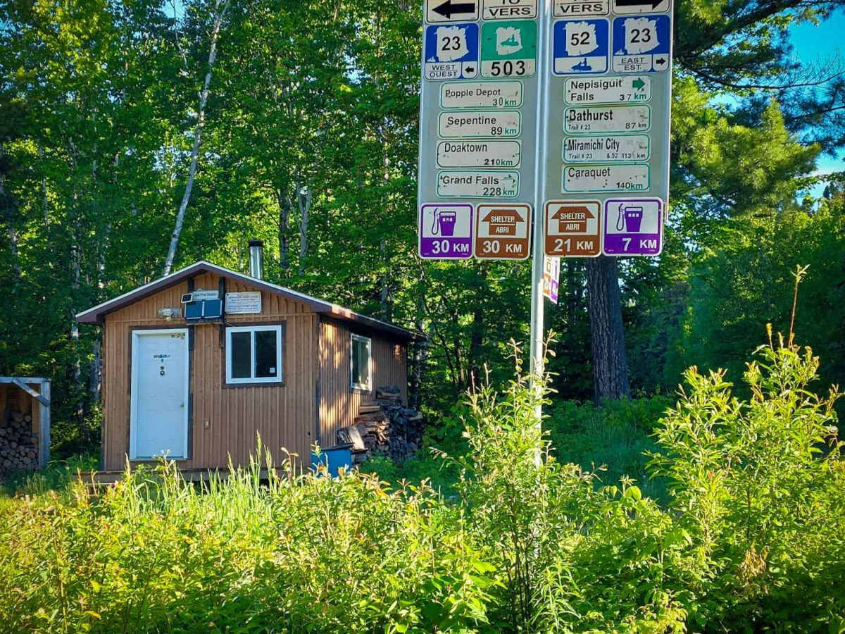
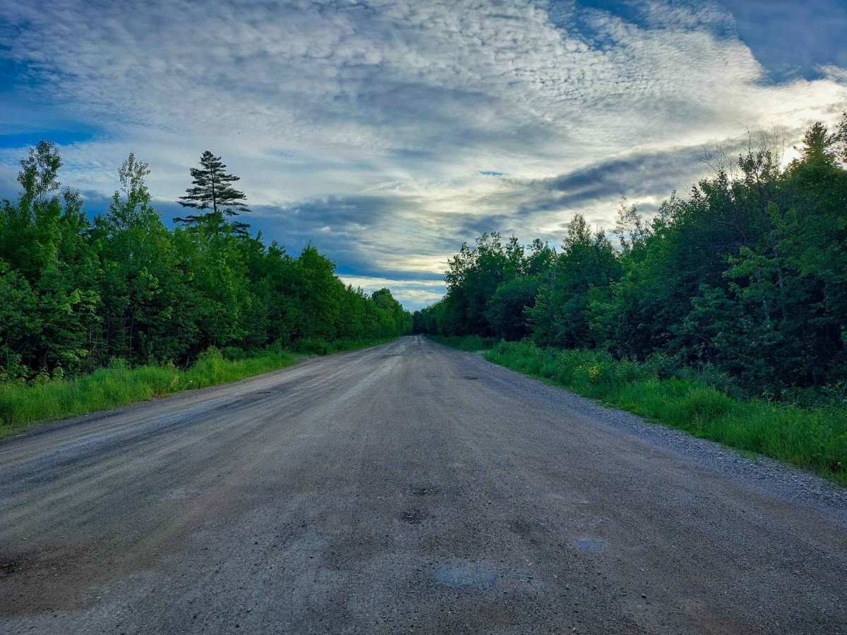
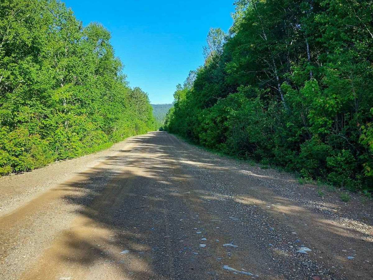
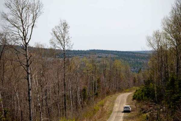
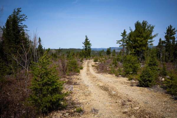
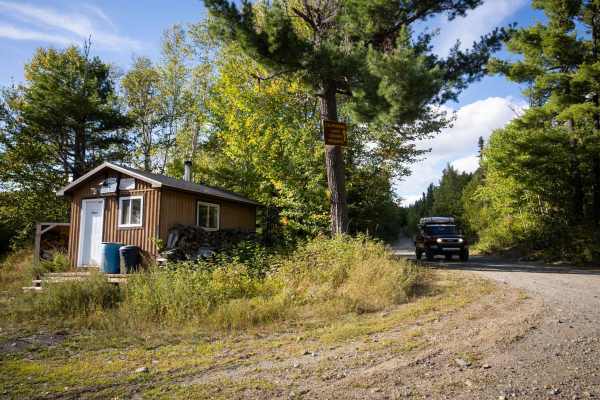
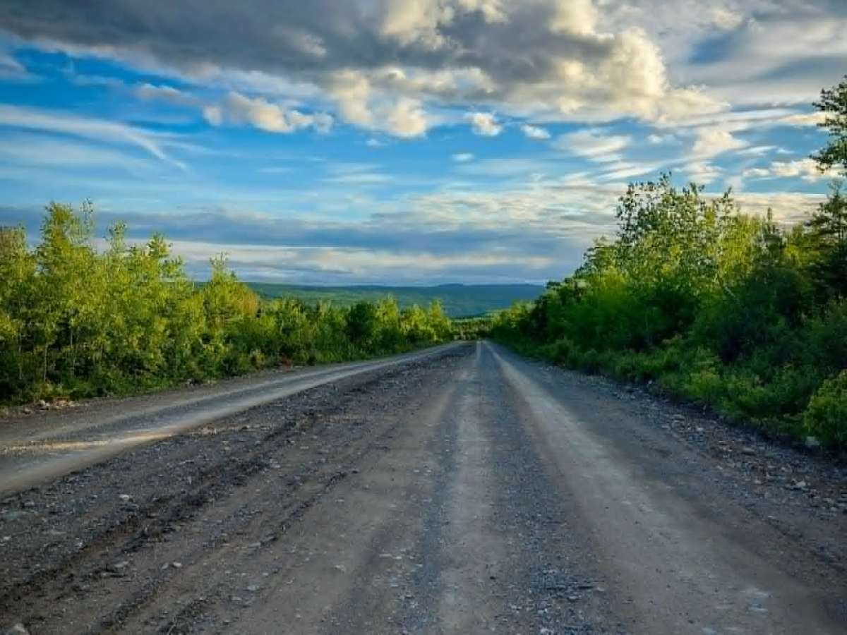
This is a well-maintained, two-vehicle-wide dirt road following the scenic Nepisiguit River from Route 430 to Popple Depot, featuring gentle grades throughout. On Google Maps, it is identified as "Knoll Spruce Road." Snowmobilers commonly refer to it as Trail #23 East/West, while many local residents know it simply as "River Road." Travelers should note that cellular service is limited or unavailable along most of the route, though weak reception may be available at higher elevations. Seasonal Closure Notice: This route is designated as a snowmobile trail and is generally closed to motor vehicle traffic from December 1 to April 15. Always check current local regulations and trail conditions before traveling.

Photos of Knoll Spruce River Road

Difficulty

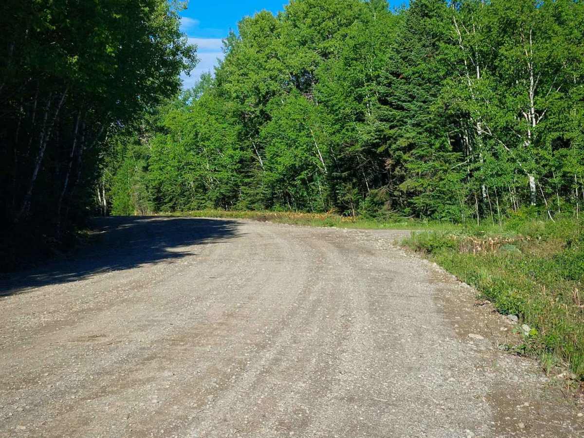
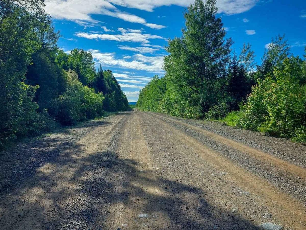
Maintained dirt or rocky road with gentle grades. The road is two vehicles wide.

Technical Rating

1

Knoll Spruce River Road Trail can be accessed by the following ride types:

  • Single Track
  • 50 Inch
  • 60 Inch
  • High Clearance
  • Full Width

Knoll Spruce River Road Map

The onX Offroad Difference

onX Offroad combines trail photos, descriptions, difficulty ratings, width restrictions, seasonality, and more in a user-friendly interface. Available on all devices, with offline access and full compatibility with CarPlay and Android Auto. Discover what you're missing today!

Open Trail Map