Highway 617 Hydro Line

Total Miles6.6
Technical Rating
2Easy
Best TimeSummer
Trail TypeFull-Width Road
Accessible By
Open Trail Map

Trail Overview

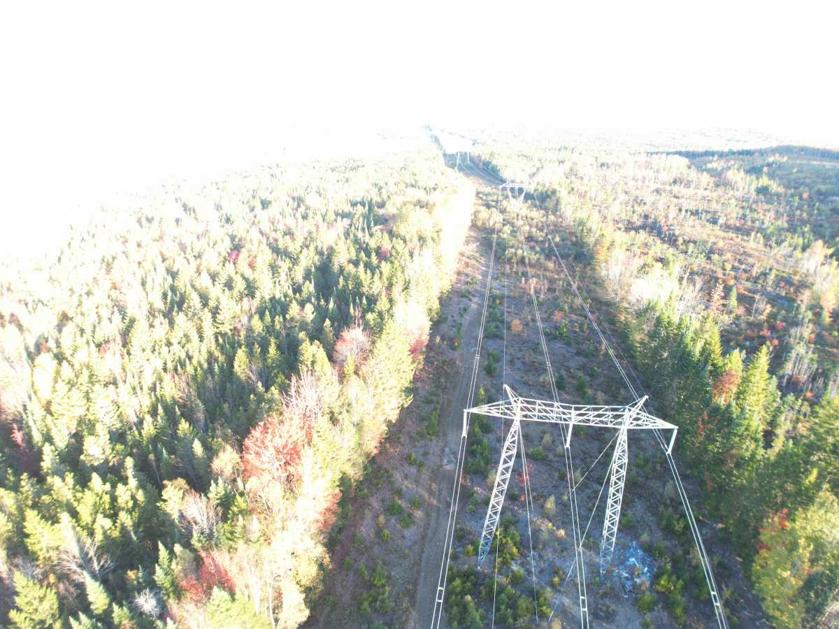
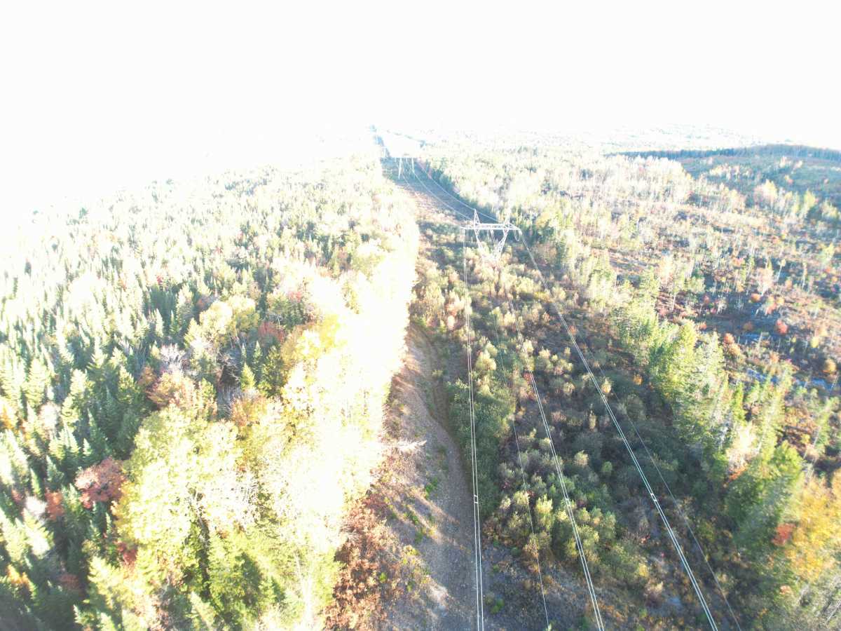
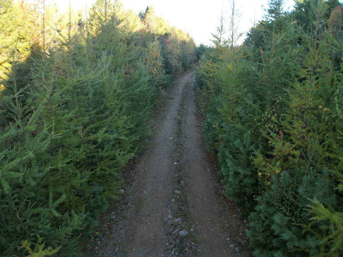
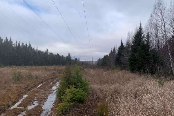
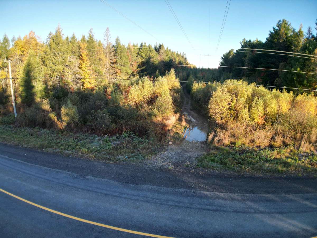
This trail starts off a little overgrown with thick pines for about 75 meters, but then it opens up with great views of rolling hills as you briefly descend the hydro line. Heading Northwest, the trail slowly ascends across the valleys and up onto some adjoining logging roads. These cross the same hydro line twice, and then rejoin it before some more open grassy trail as you ascend to another forestry road at the end of a clear-cut. Eventually, the track ends at the Crow Hill Loop trail.

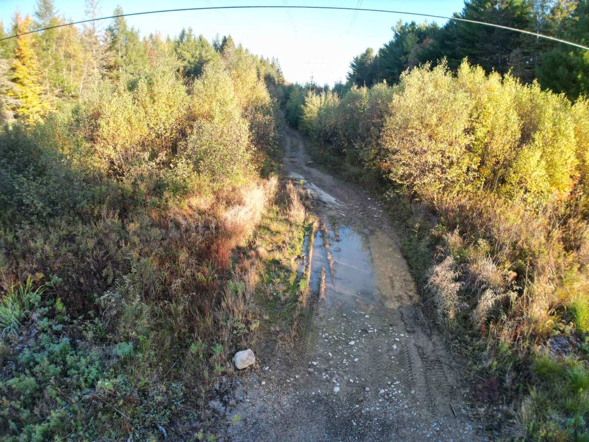
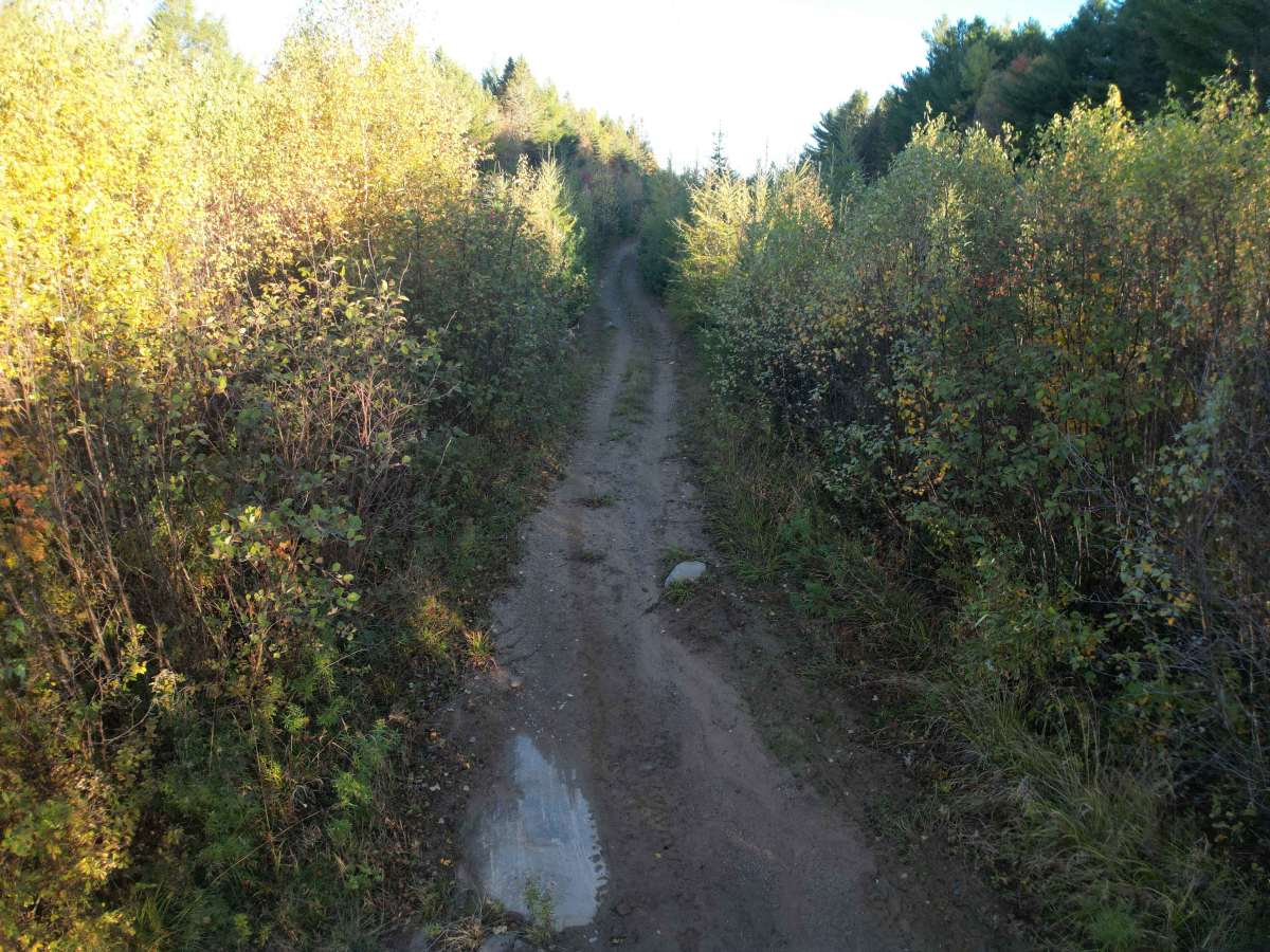
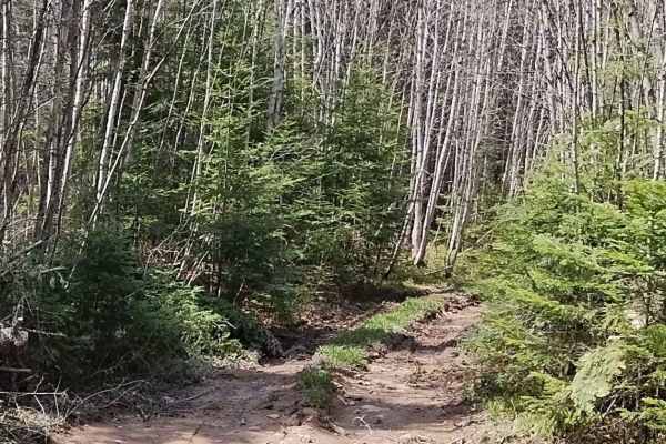
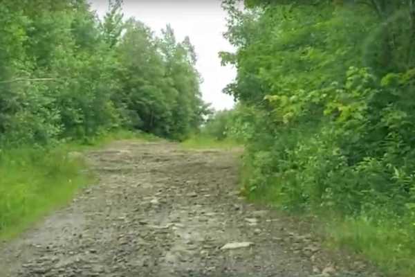
Photos of Highway 617 Hydro Line

Difficulty

This trail is mostly wide and grassy, with some muddy sections around the halfway point.

Technical Rating

2

Highway 617 Hydro Line Trail can be accessed by the following ride types:

  • Single Track
  • 50 Inch
  • 60 Inch
  • High Clearance
  • Full Width

Highway 617 Hydro Line Map

The onX Offroad Difference

onX Offroad combines trail photos, descriptions, difficulty ratings, width restrictions, seasonality, and more in a user-friendly interface. Available on all devices, with offline access and full compatibility with CarPlay and Android Auto. Discover what you're missing today!

Open Trail Map