Dalhousie Road

Total Miles45.2
Technical Rating
1Easy
Best TimeSpring, Summer, Fall
Trail TypeFull-Width Road
Accessible By
Open Trail Map

Trail Overview

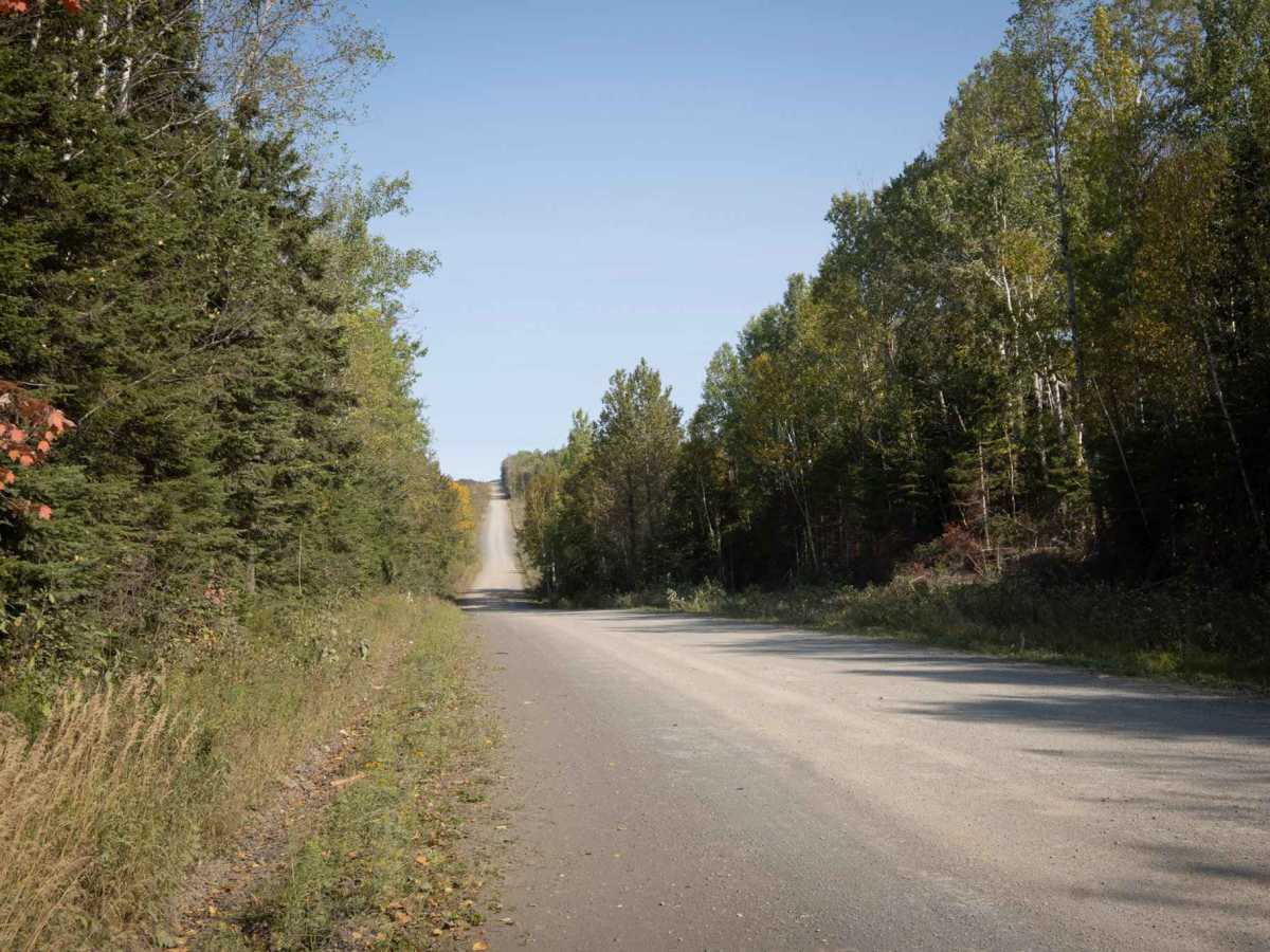
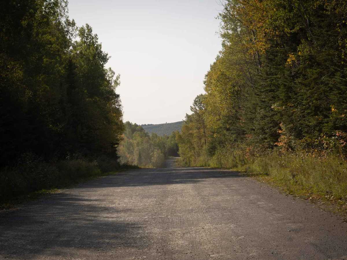
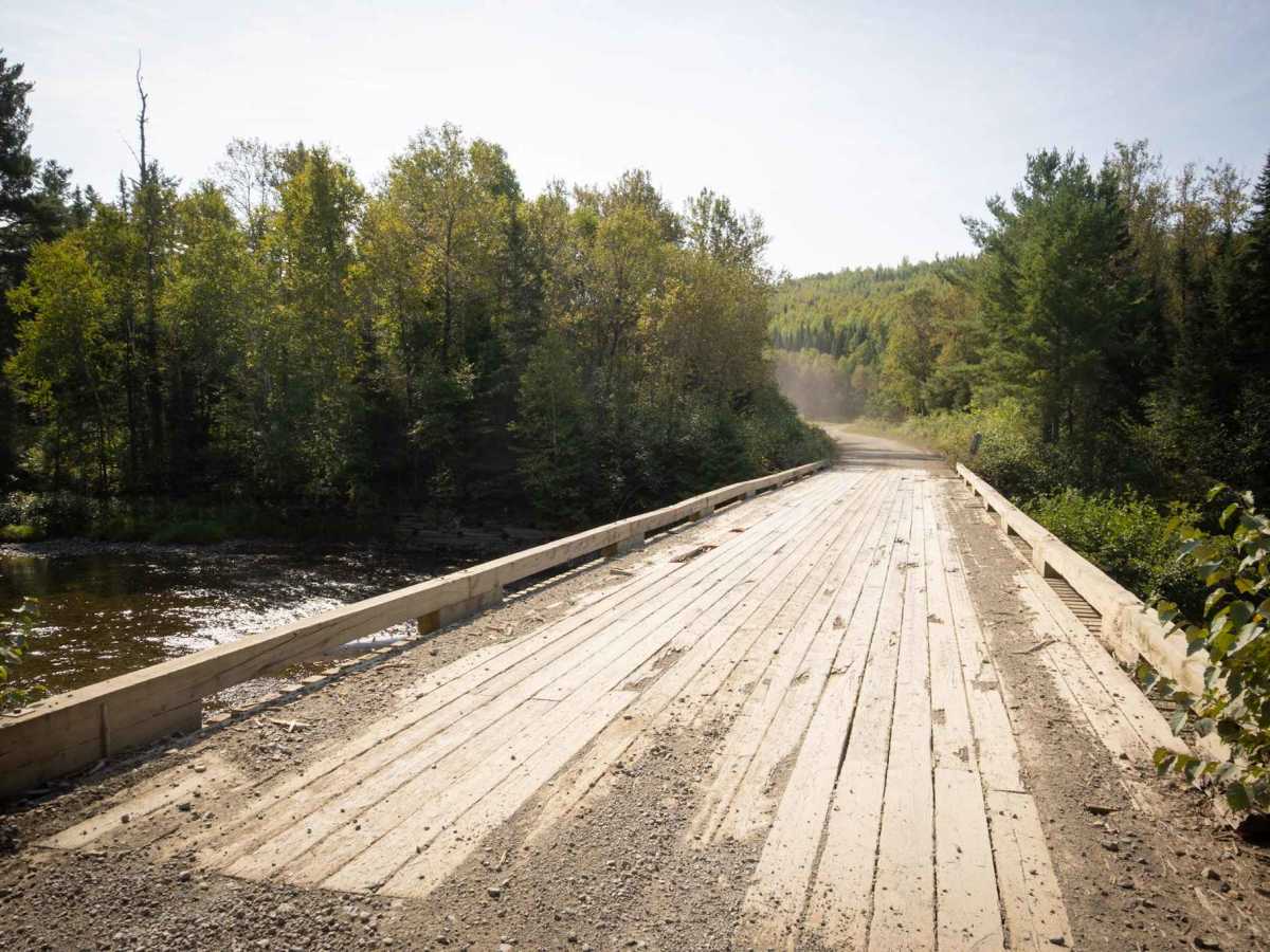
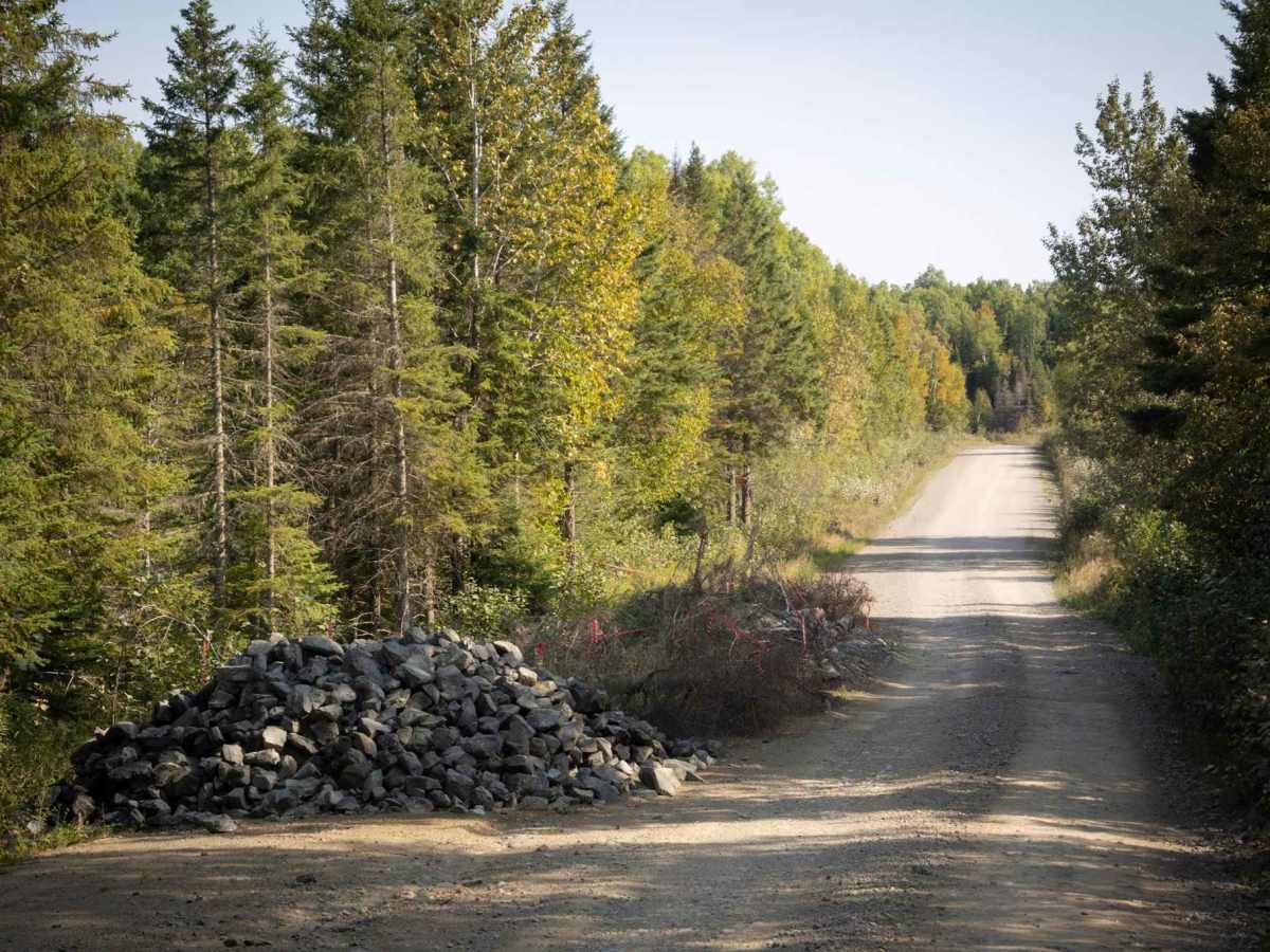
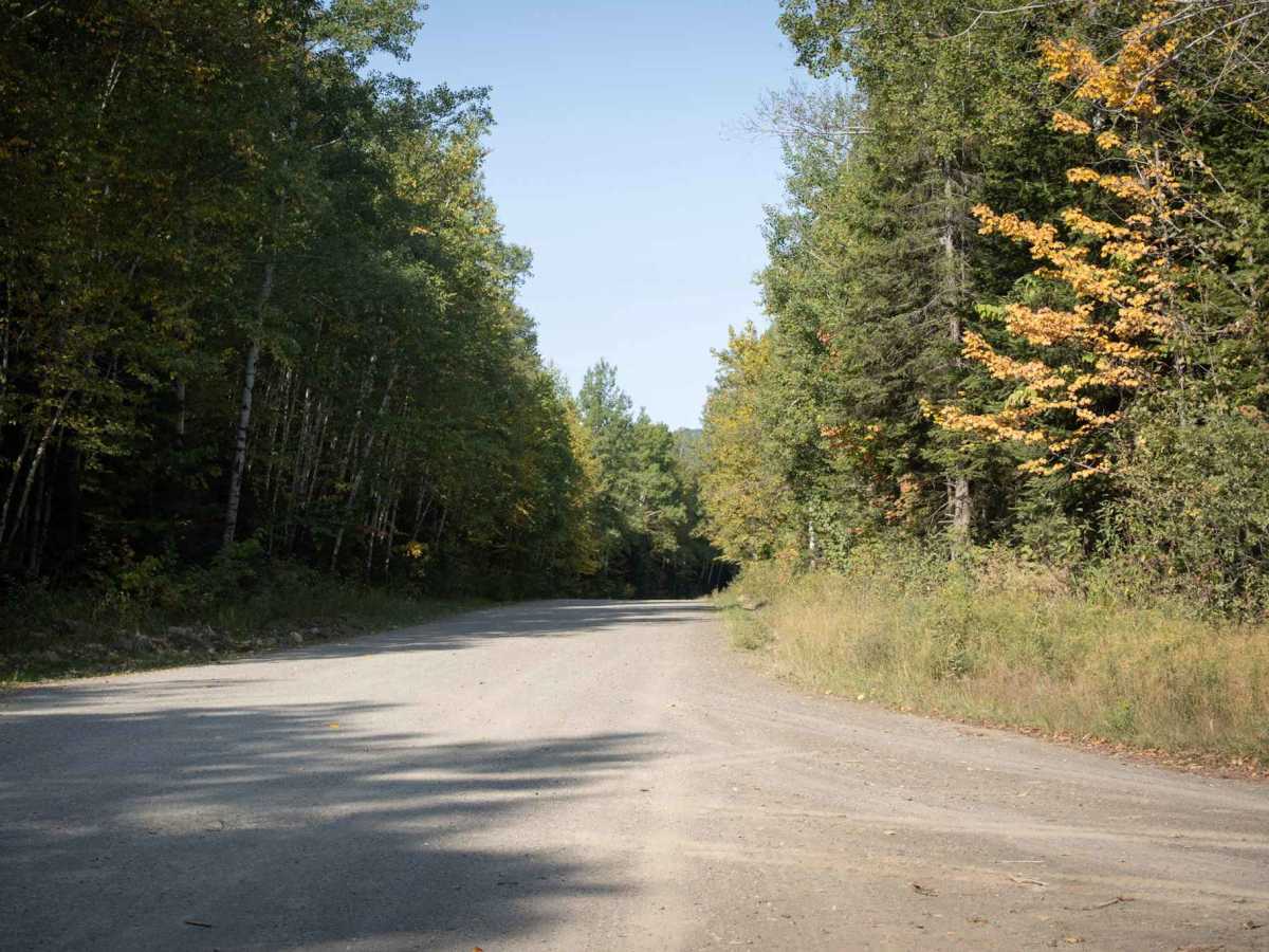
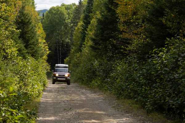
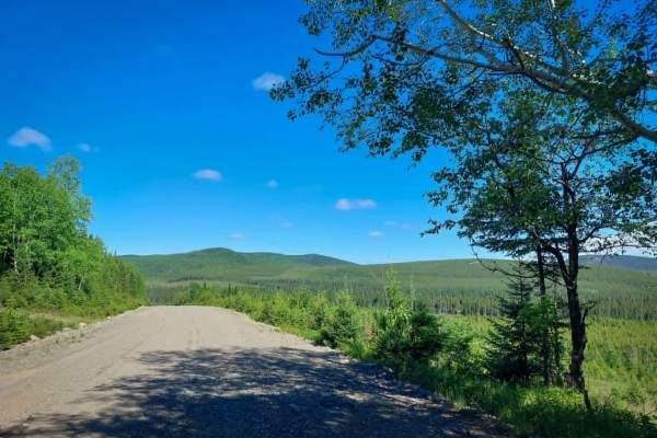
This is a two-vehicle-wide dirt road connecting the Road to Resources with the community of Eel River Crossing. Be aware: At the time of this description, one bridge has been partially washed out and is currently reduced to a single lane. Notable stopping points along the trail include "Budworm City" and "Flying Eddy".

Photos of Dalhousie Road

Difficulty

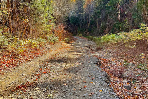
This is a two-vehicle-wide, maintained gravel road.

History

According to a CBC News article, "Budworm City" was an airstrip and camp established in 1951 near Dalhousie, New Brunswick, by the New Brunswick International Paper Company to spray insecticide on forests to control a spruce budworm outbreak. It was the base for one of the largest and longest aerial insecticide programs in the world, which used DDT and other pesticides from 1952 to the 1990s.

Technical Rating

1

Dalhousie Road Trail can be accessed by the following ride types:

  • High Clearance
  • Full Width

Dalhousie Road Map

The onX Offroad Difference

onX Offroad combines trail photos, descriptions, difficulty ratings, width restrictions, seasonality, and more in a user-friendly interface. Available on all devices, with offline access and full compatibility with CarPlay and Android Auto. Discover what you're missing today!

Open Trail Map