Trail Overview
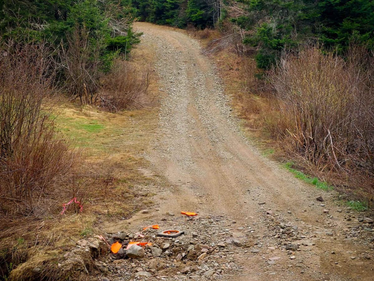
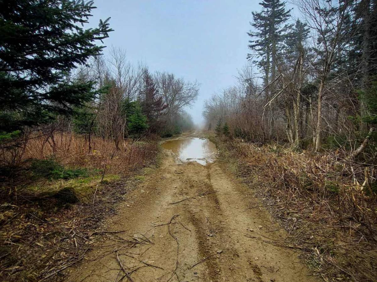
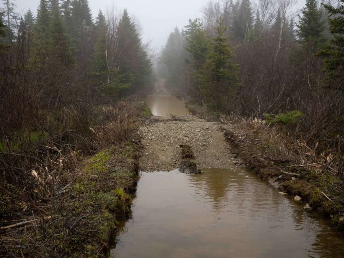
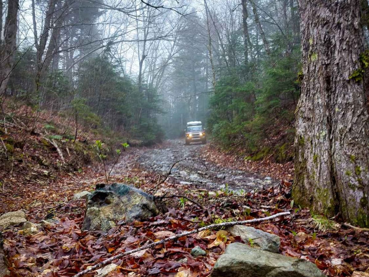
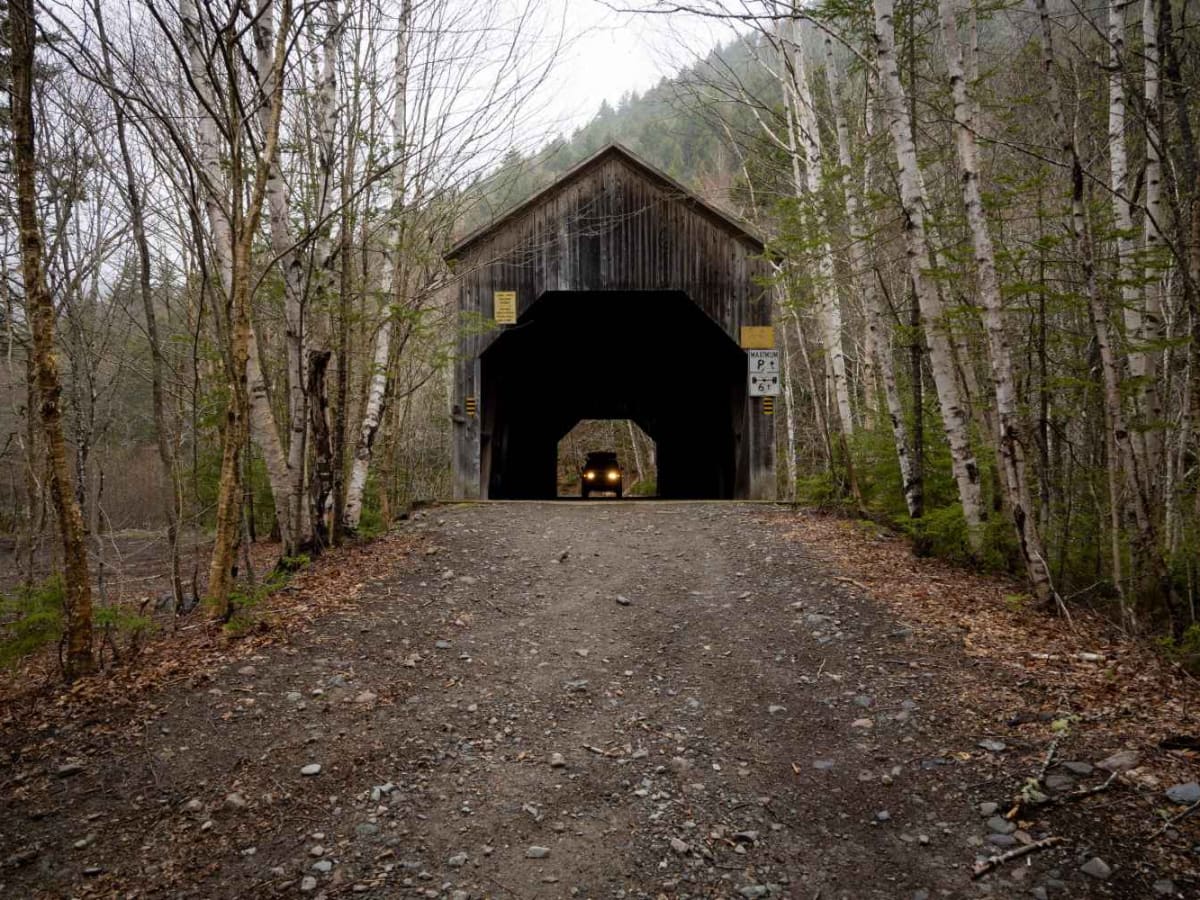
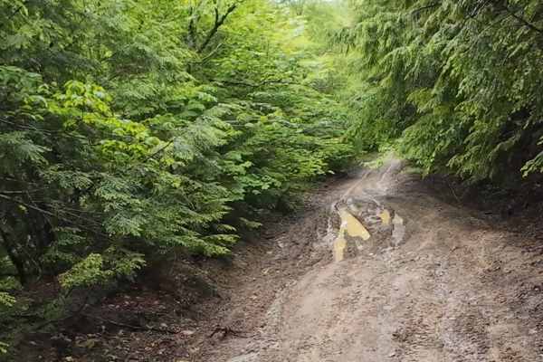
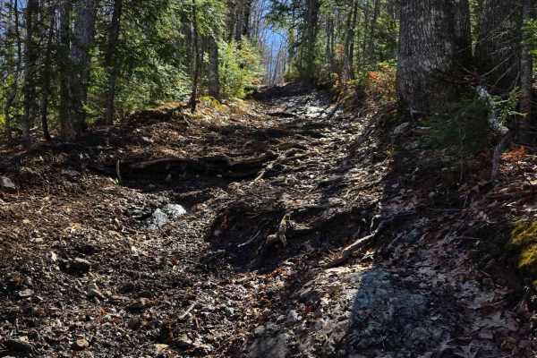
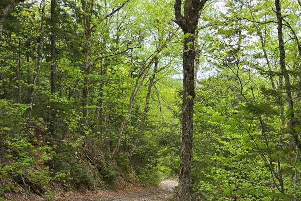
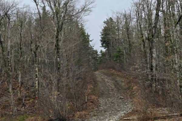
Discover the Beautiful Forest of Crooked Creek Trail. The Crooked Creek Trail offers a journey from Caledonia Mountain to Riverside-Albert, New Brunswick, winding through the natural beauty of the Caledonia Gorge Crown Land Conservation Area and alongside Crooked Creek. The northern section of the trail has recently undergone some brush clearing along its edges. This is primarily a single-lane trail with limited passing areas. Expect a surface of dirt and loose rocks, with occasional water holes and obstacles such as broken culverts and larger rocks, generally less than 12 inches in depth. While a standard 4WD vehicle is likely to navigate the trail without significant issues, 2WD or vehicles with low clearance may encounter difficulties depending on the time of year and the current trail conditions. It's important to note that this trail is not regularly maintained and serves as a designated snowmobile trail during the winter months, from December 1 to April 15th. Cell phone service is unreliable for most of the trail, with only sporadic and weak reception in certain areas. There are a few opportunities to stop near the creek. Please be aware that many of these areas are located on private property, so it's essential to be respectful and practice Tread Lightly principles. The trail culminates near Riverside-Albert with a waterfall and the Crooked Creek Look-off, recognized as an "Amazing Place" within the UNESCO Fundy Biosphere Reserve, offering a notable viewpoint.
Difficulty
This is primarily a single-lane trail with limited passing areas. Expect a surface of dirt and rocks, with occasional water holes and obstacles such as broken culverts and larger rocks, generally less than 12 inches in depth. While a standard 4WD vehicle is likely to navigate the trail without significant issues, 2WD or vehicles with low clearance may encounter difficulties depending on the time of year and the current trail conditions.