Trail Overview
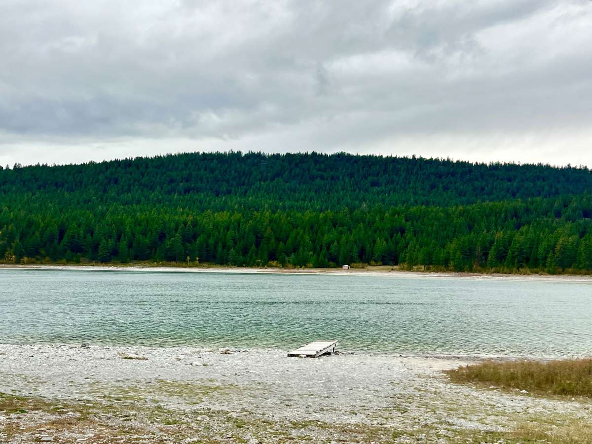
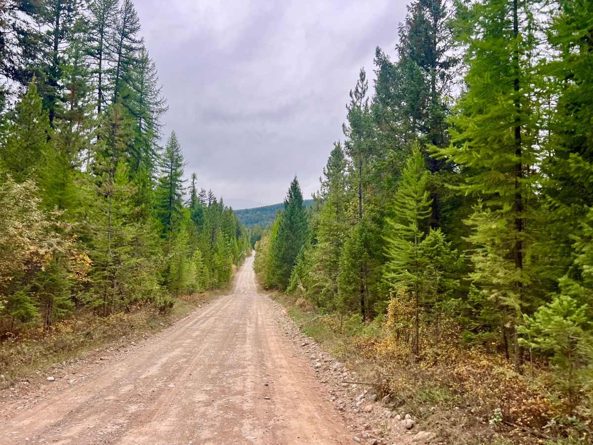
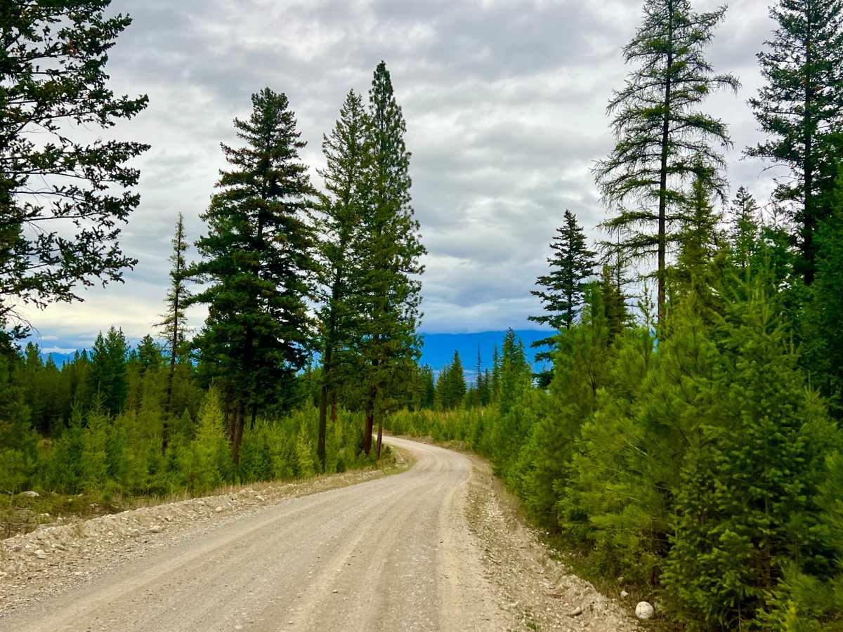
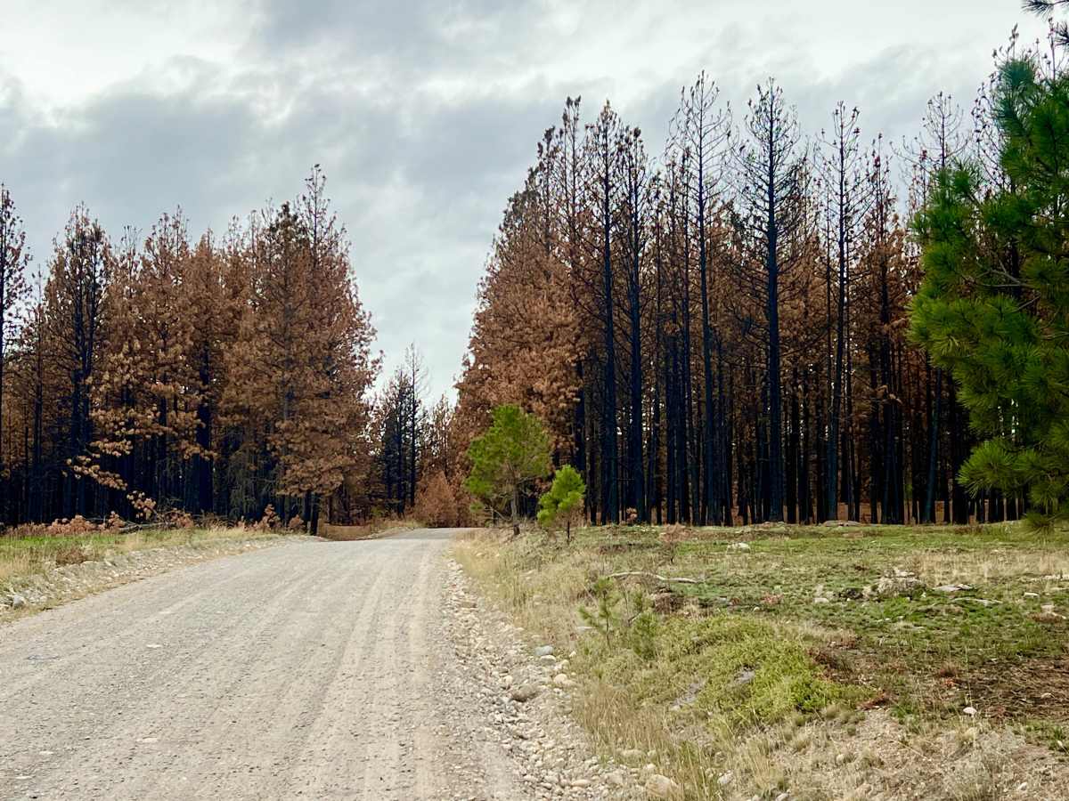
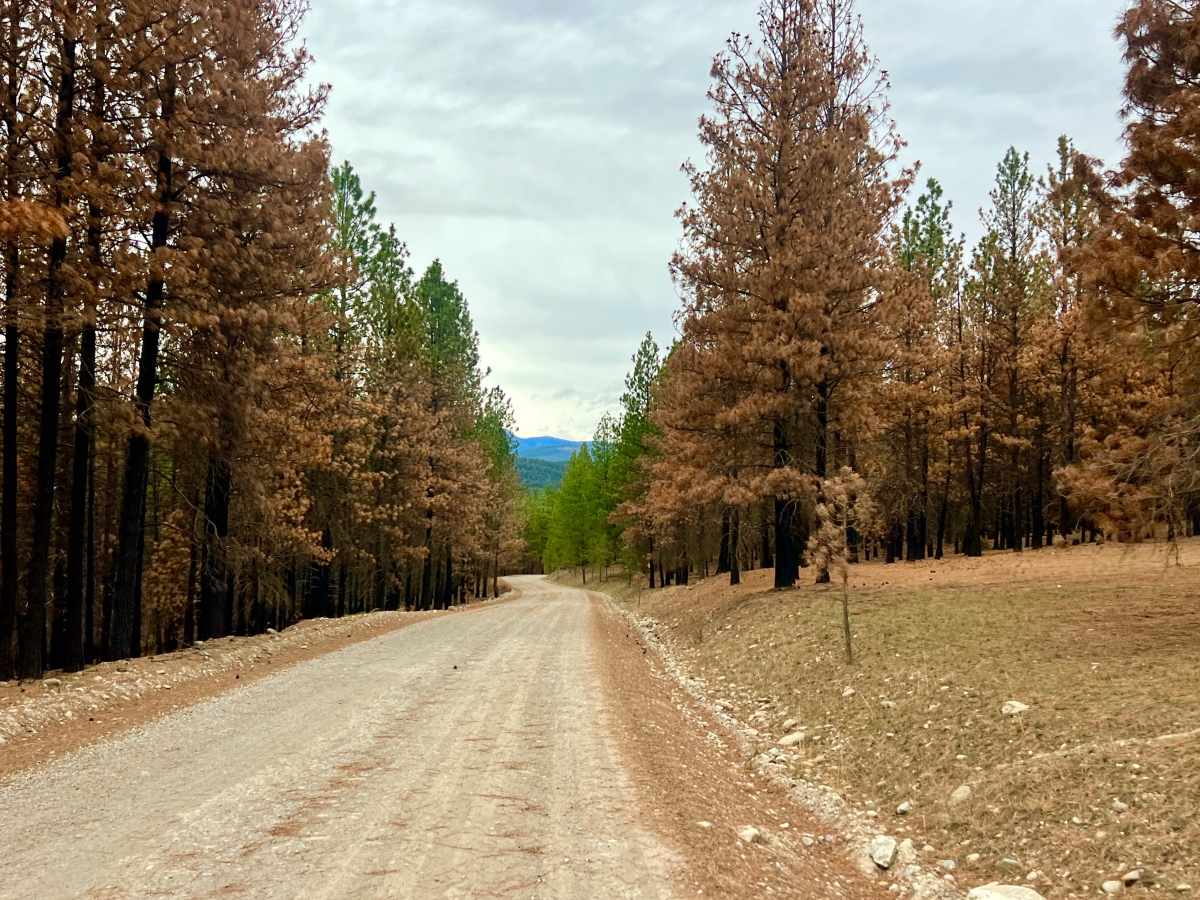
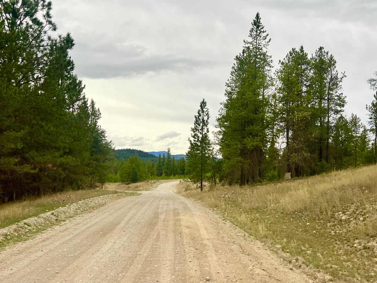
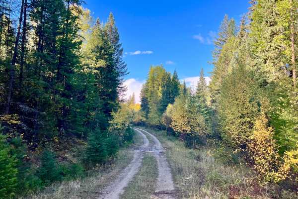
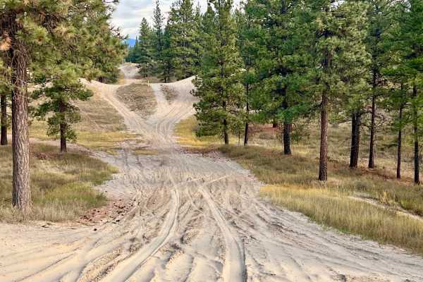
This scenic, easygoing backcountry route winds through the foothills of the Rocky Mountain Trench, alternating between pockets of dense timber and open grassland meadows. The road serves as a primary connector to the Ha Ha Lake Recreation Site and numerous side-shoot trails that branch into the surrounding forest. Many of these smaller spur roads lead to flat, dispersed Crown land camping spots, giving you plenty of options to explore if you want to set up basecamp in the area. If you follow the spur down to Ha Ha Lake, you’ll find an established Recreation Site equipped with pit toilets, metal fire rings, picnic tables, a boat launch, and level sites suitable for RVs and trailers. There is active logging and heavy machinery operating in the area. Stay alert, hug your side of the road on blind corners, and yield to loaded logging trucks. Watch for livestock standing in the middle of the road, especially around blind corners and transitions between forest and shade. This route travels through active open-range cattle grazing territory. Expect 1 bar of cell service at the start of the trail, quickly fading to no service as you head further in. Download offline maps beforehand.
Difficulty
This wide, well-maintained gravel Forest Service Road suits almost any vehicle, including 2WD trucks, SUVs, and vehicles towing trailers or RVs (especially up to the Rec Site). The surface is mostly packed gravel and dirt, with occasional potholes and minor washboarding, and poses no technical obstacles in dry conditions.
History
Situated along the eastern floor of the Rocky Mountain Trench near the Kootenay River, the Lost Dog and Ha Ha Creek area is part of the traditional territory of the Ktunaxa Nation. In the late 19th and early 20th centuries, following the nearby Wild Horse Creek gold rush and the establishment of Fort Steele, these rolling benchlands became vital for two main industries: open-range cattle ranching and forestry.