Trail Overview
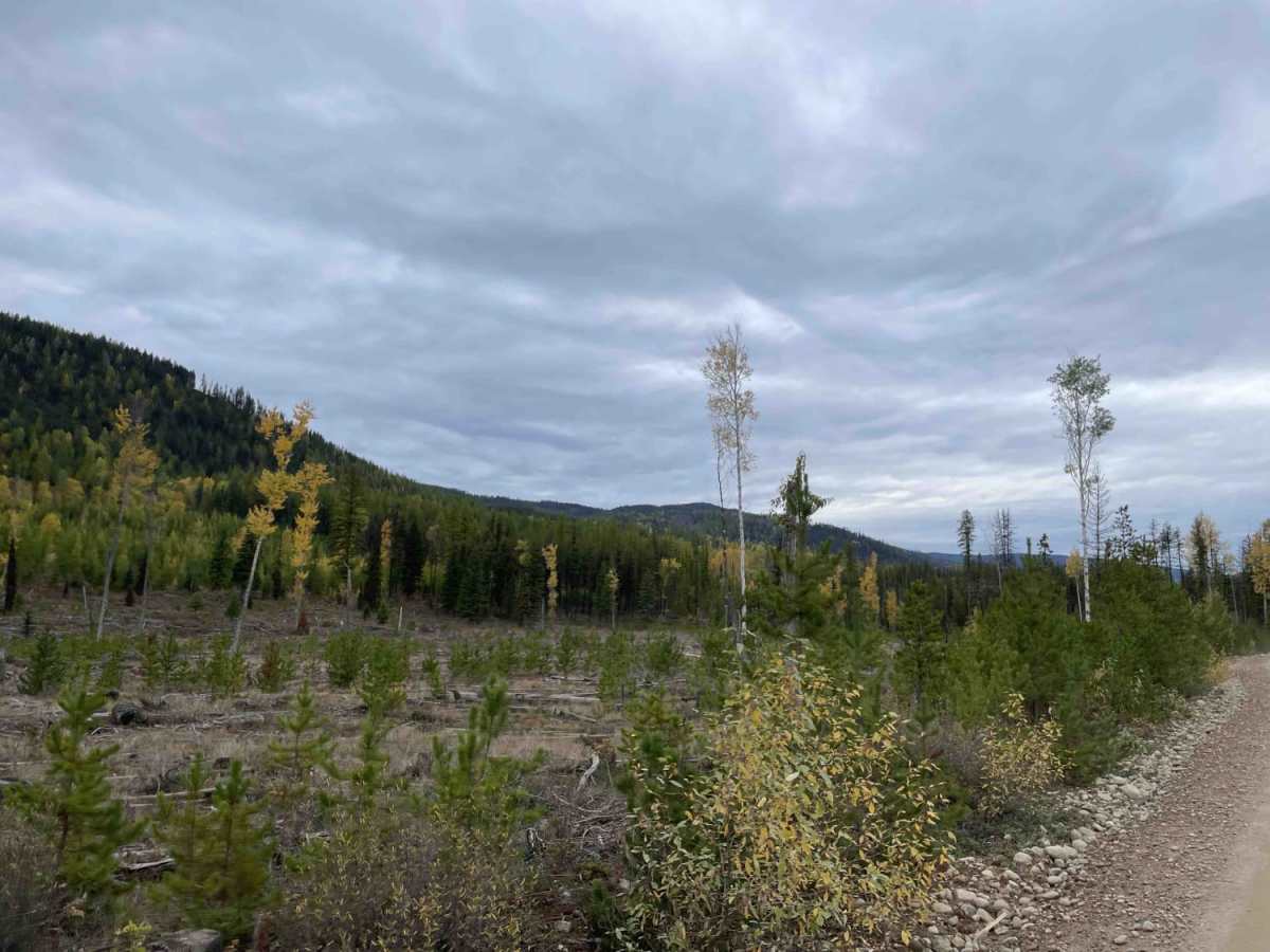
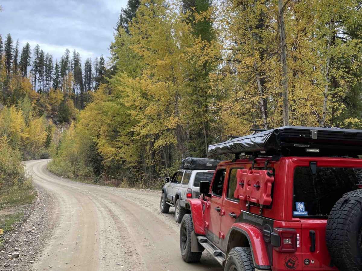
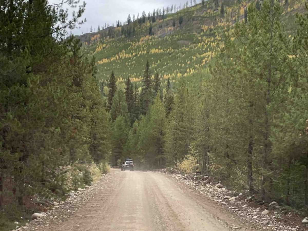
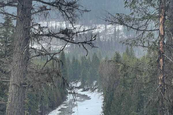
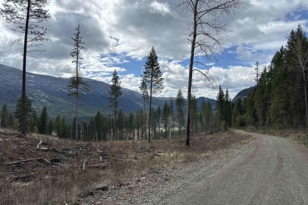
Designed for scenic explorers, recreationalists, and drivers of standard high-clearance SUVs, this route offers an accessible gateway to the stunning wilderness surrounding the Kettle River valley east of Big White Mountain. Running for approximately 10.8 miles, this well-maintained gravel Forest Service Road (FSR) climbs gently from an elevation of 2,736 feet to a peak of 3,170 feet, presenting a total elevation gain of about 790 feet. The trail provides spectacular views of the valley and is a popular corridor for hunters, anglers, and campers heading to the scenic recreation sites along the nearby rivers.
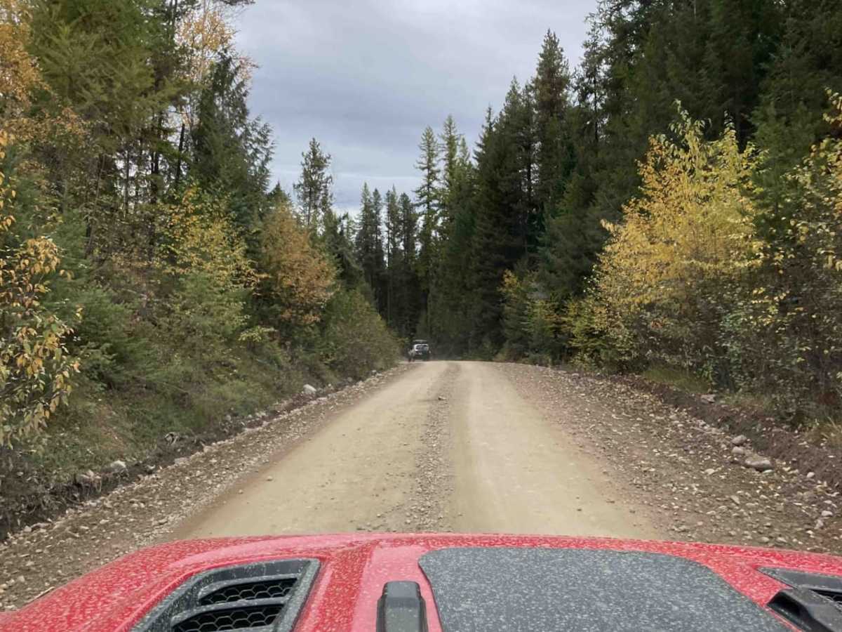
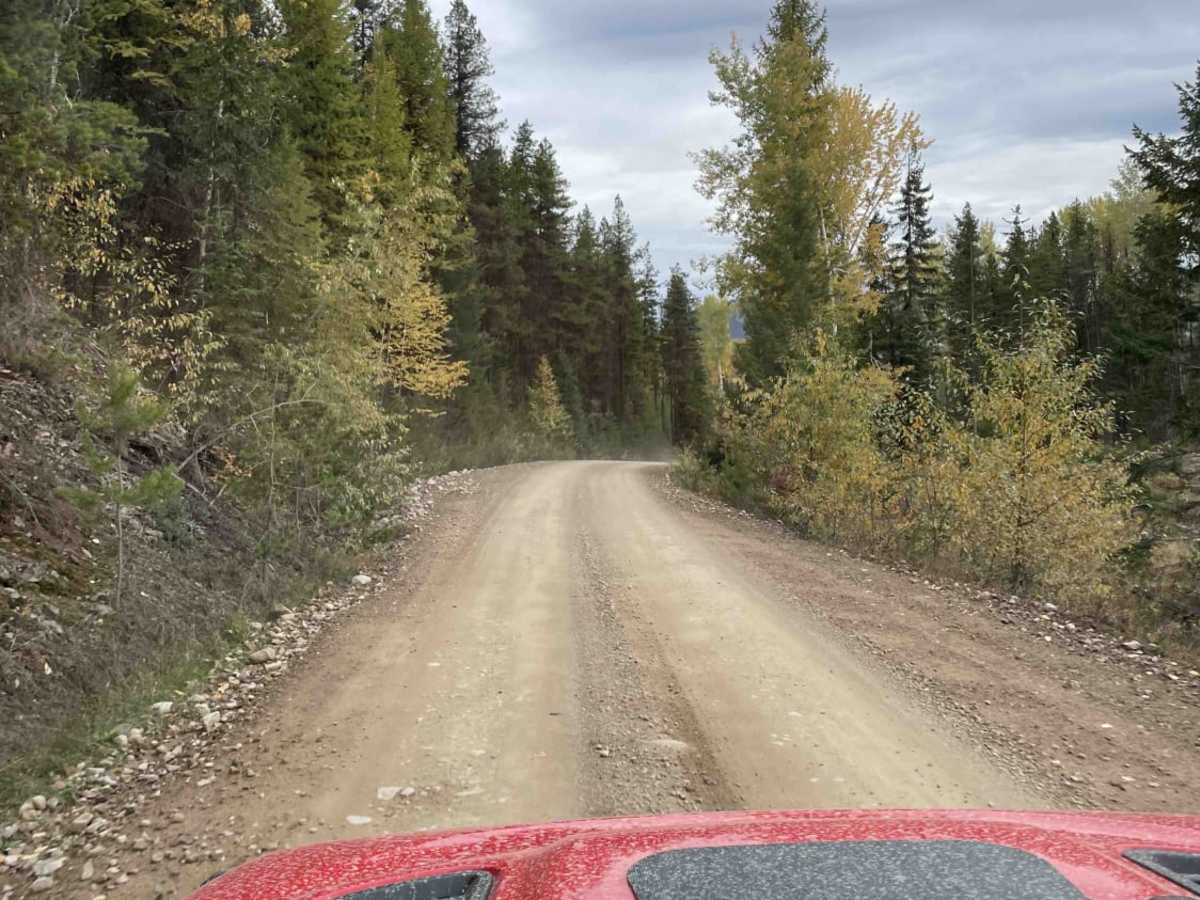
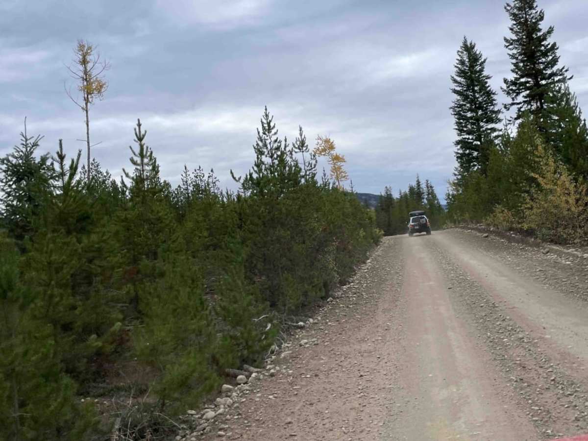
Because this is an active Forest Service Road, drivers must exercise caution and be prepared to call out their kilometer positions on a two-way radio, as fast-moving logging trucks frequently use this route. The surface is predominantly graded dirt and gravel, making it easily passable for stock SUVs and light-duty four-wheel-drive vehicles during the dry season. Nearby rivers offer excellent opportunities for fishing and dispersed camping, with several rustic recreation sites providing ideal spots to set up camp and enjoy the tranquil forest environment.
Access Description
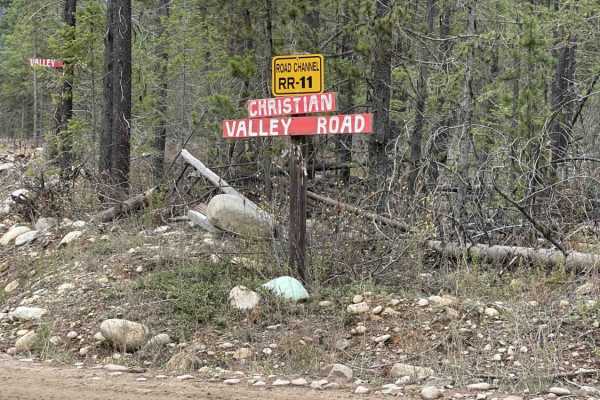
As this is an active logging road, drivers should use a two-way radio to call out their kilometer positions and yield to fast-moving logging trucks. Standard British Columbia Forest Service Road regulations apply, and no entry fees or permits are required for general public transit.

 Offroad