Trail Overview
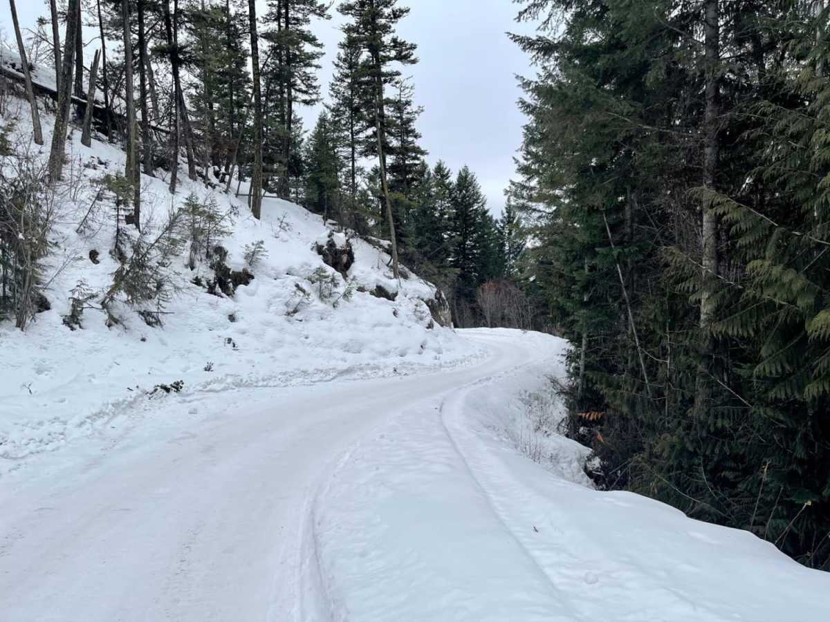
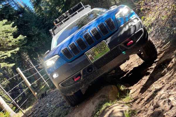
Oyama Lake Road is a scenic 6.7-mile unpaved climb from the Okanagan Valley to the serene shores of Oyama Lake, offering a moderately challenging route for four-wheel-drive vehicles, SxSs, and outdoor enthusiasts looking to access high-elevation recreation. Starting near the town of Oyama at an elevation of 1,848 feet, this narrow forestry road ascends over 2,650 feet through a series of steep switchbacks carved into the forested mountainside, reaching a maximum elevation of 4,477 feet. The road is predominantly single-lane with limited pull-outs, meaning drivers must remain alert for oncoming traffic and utilize the posted radio channels where applicable. While passenger cars can typically navigate the route during the dry summer months, a high-clearance four-wheel-drive vehicle is recommended to comfortably handle the steep gradients, loose gravel, and occasional washboards.
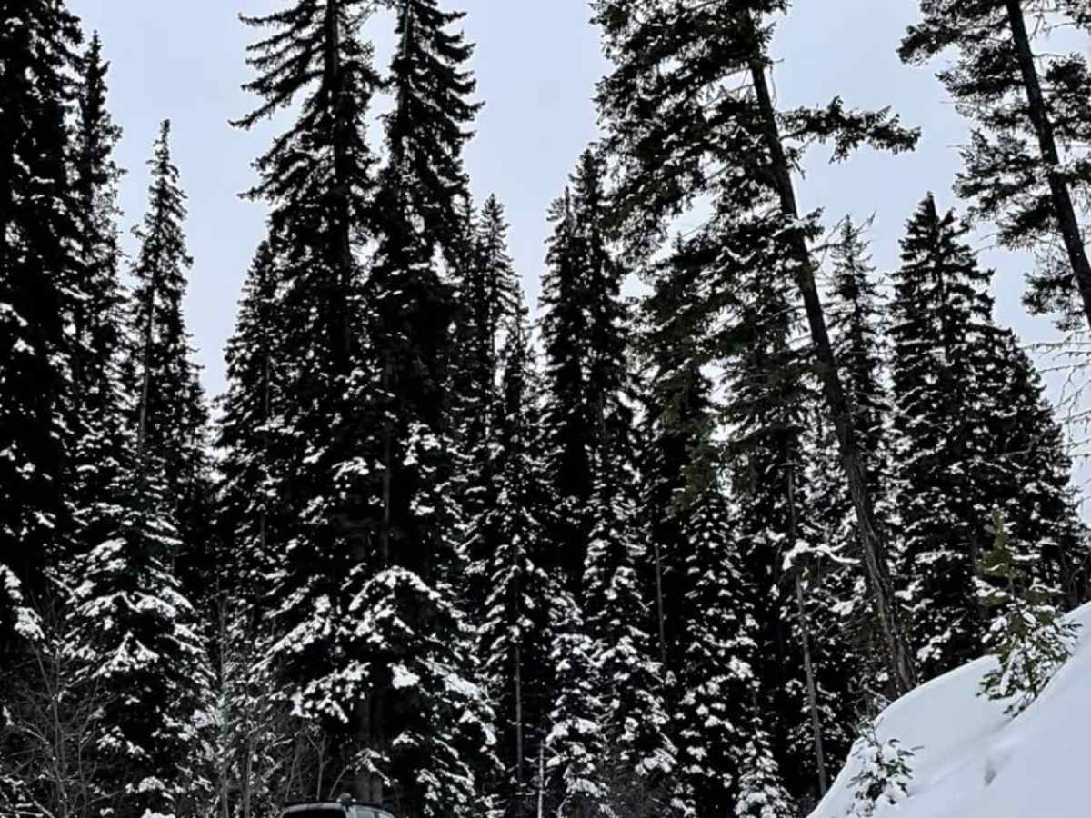
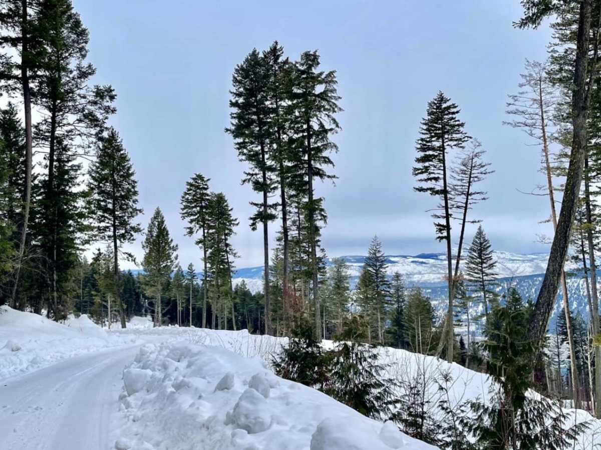
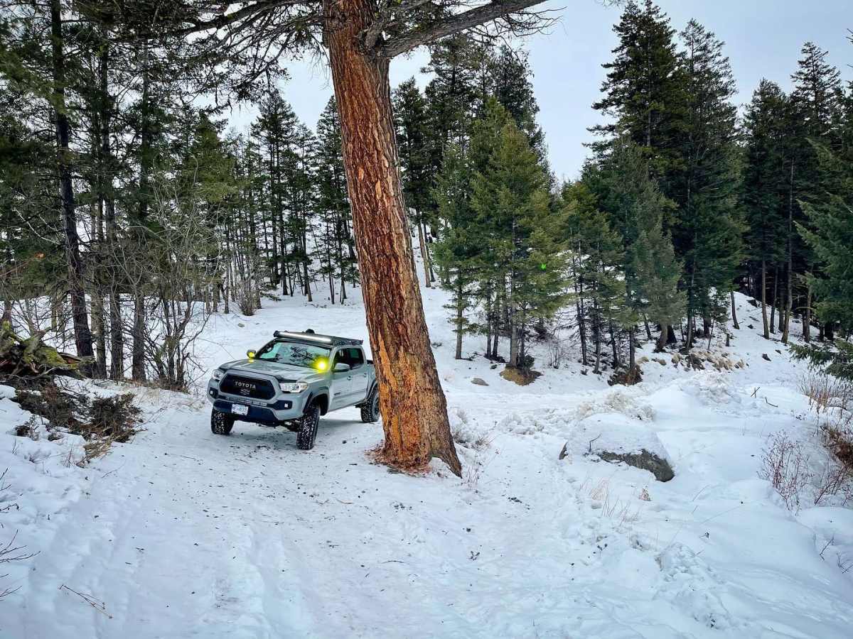
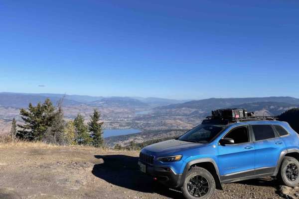
As the trail winds higher, it treats travelers to peek-a-boo views of Wood Lake and Kalamalka Lake before culminating at the picturesque Oyama Lake, a popular hub for fishing, boating, and camping. In the winter, the route becomes a snowy wonderland that is occasionally plowed but frequently slippery, requiring snow tires, traction aids, or winter-equipped all-wheel-drive vehicles to safely traverse. Adventurous drivers will find that this corridor serves as a vital gateway to an expansive network of secondary trails, logging roads, and backcountry lakes perfect for further exploration. Whether you are heading up for a weekend of trout fishing or exploring the surrounding forest service roads in an OHV, this route delivers a classic British Columbia backcountry experience.
History
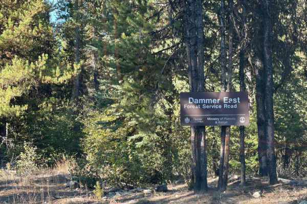
Developed to provide access to Oyama Lake and the surrounding timberlands, this active forestry road is historically radio-controlled to coordinate safe passage between industrial logging trucks and public recreational vehicles on its narrow, single-lane stretches.
Access Description
The road is active for industrial use, and users should watch for logging trucks and adhere to radio-control signage. While accessible by most vehicles in summer, winter travel demands four-wheel-drive or all-wheel-drive with proper winter tires due to steep switchbacks and icy conditions.