Mount Sicker to Hill 60

Total Miles17.6
Technical Rating
4Moderate
Best TimeSpring, Summer, Fall, Winter
Trail TypeHigh-Clearance 4x4 Trail
Accessible By
Open Trail Map

Trail Overview

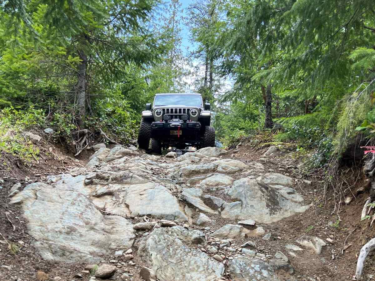
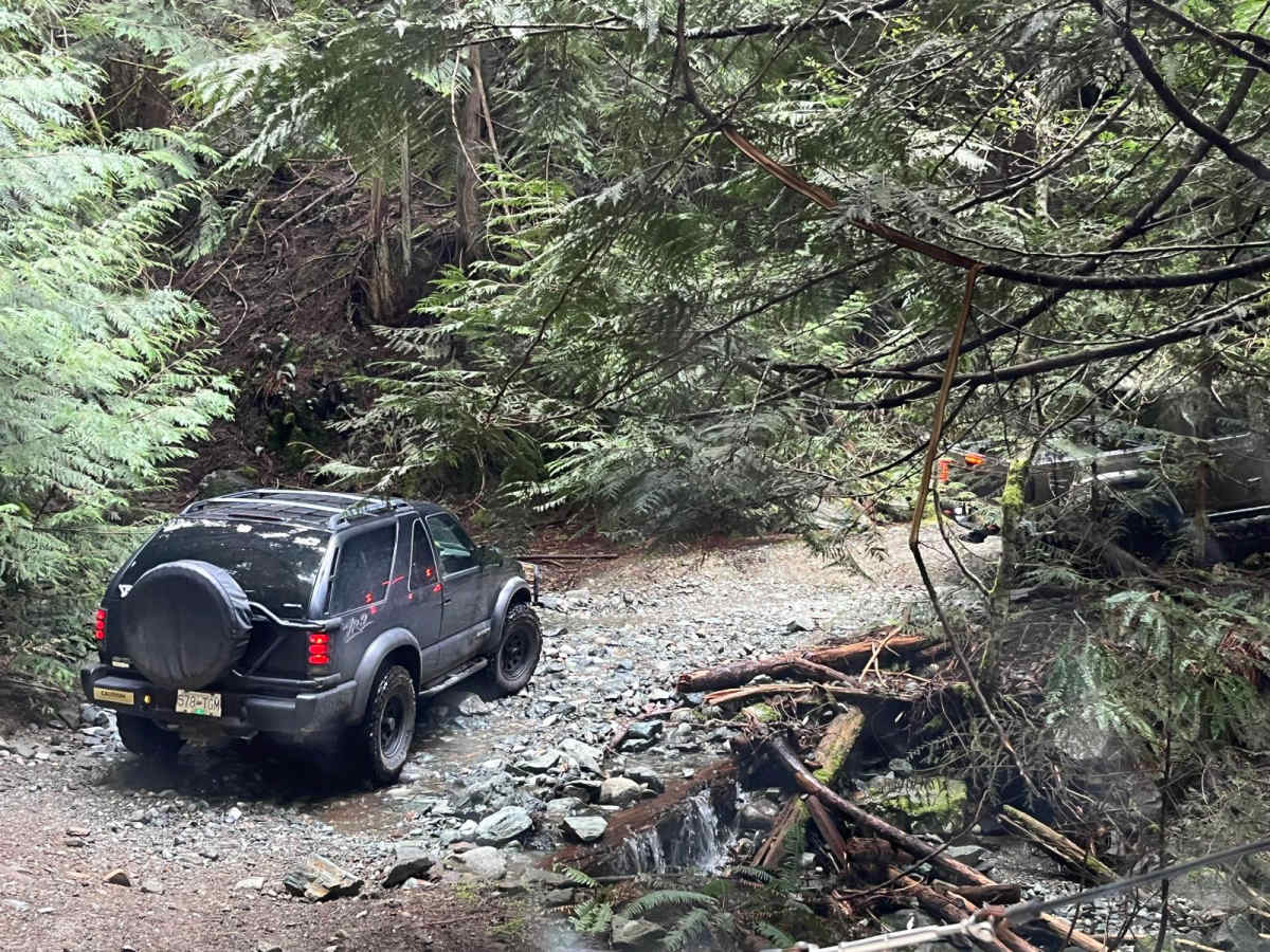
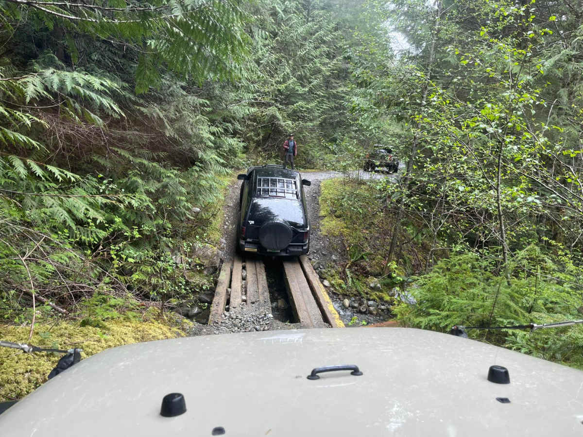
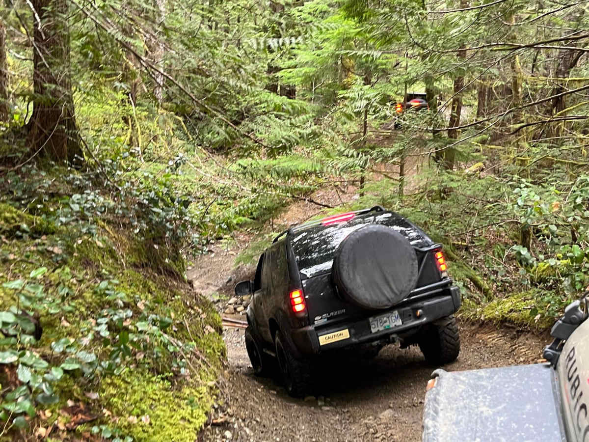
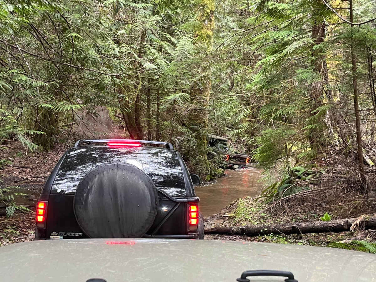
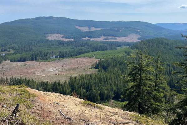
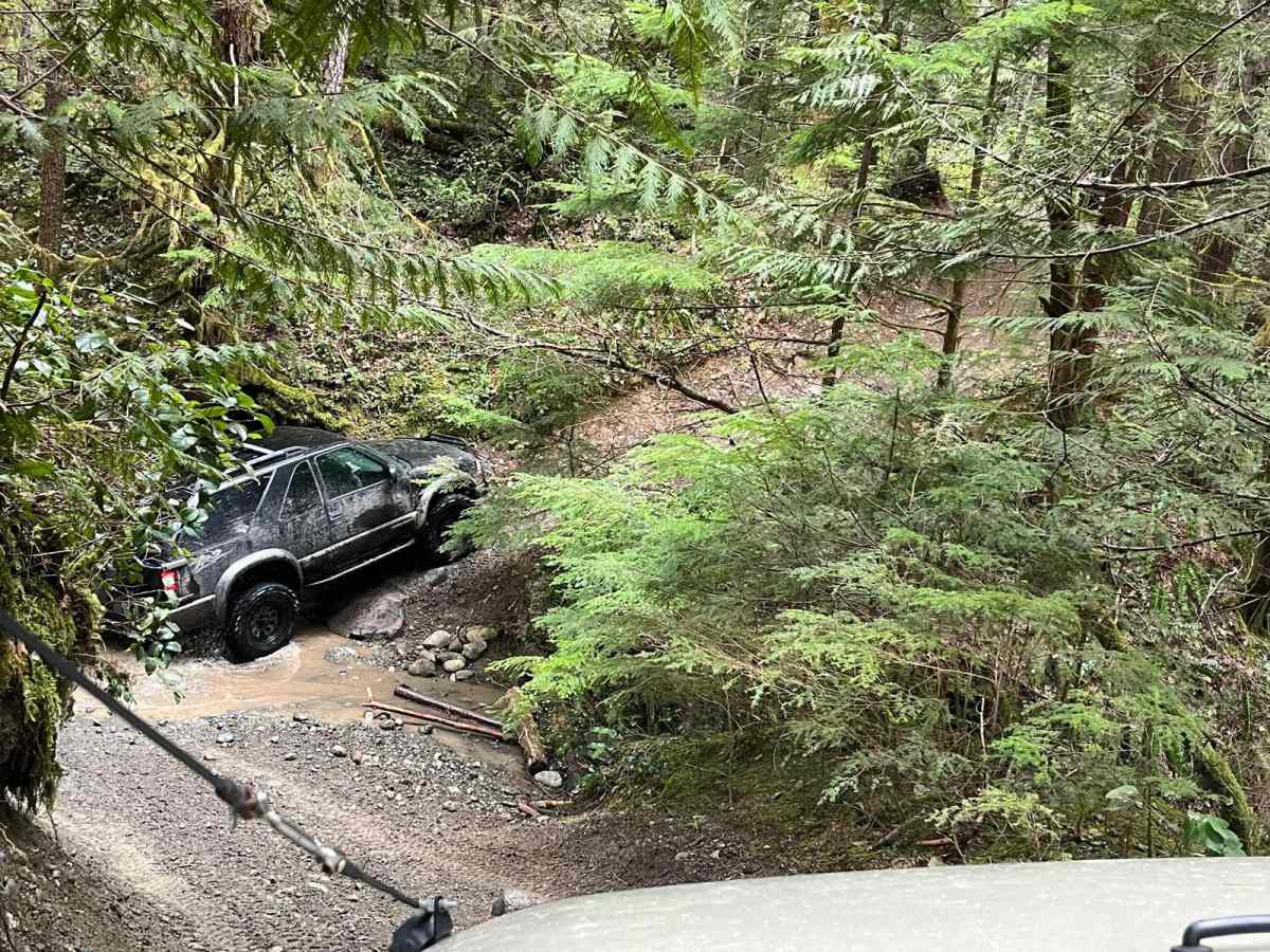
This trail serves as a connector between two notable landmarks: Mount Sicker and Hill 60. The trailhead is conveniently located at the Chevron gas station on Mount Sicker Road, just off the Trans Canada Highway. Initially, the trail meanders through idyllic farmland before transitioning into a Forest Service Road, marking the actual start of the trail. This trail epitomizes the typical West Coast off-roading experience, featuring narrow, tree-lined paths that occasionally give way to puddles and mud. However, the reward for braving these conditions is substantial. As you traverse the trail, you'll discover breathtaking viewpoints, hidden camping spots, and access to a beautiful river. The journey, although challenging, promises an unforgettable adventure.

Photos of Mount Sicker to Hill 60

Difficulty

The trail is suitable for vehicles equipped with 4-wheel drive and 32-inch tires and up. The main path does not require the use of a winch or lockers. However, there are optional side features with a difficulty rating of 6, which necessitate the use of at least one locker and a winch for a successful traversal.

Technical Rating

4

Status Reports

Add Status Report
Ethan K
Oct 18, 2025
Open
Cec Annett
Jul 20, 2025
Temporarily Closed
Fire Danger
Michael A.
Jun 21, 2025
Temporarily Closed
Fire Danger
Clint Wood
Dec 29, 2024
2022 Ford Bronco
Open
Muddy/WetRough/Deteriorated
There is a pretty significant washout at the mount sicker road trail head. Other than that it was pretty munch business as usual. Recommend high clearance and locking diffs just to get up the washout.
Patrick Grandmont
Oct 02, 2024
Open
Normal

Mount Sicker to Hill 60 Trail can be accessed by the following ride types:

  • High Clearance

Mount Sicker to Hill 60 Map

The onX Offroad Difference

onX Offroad combines trail photos, descriptions, difficulty ratings, width restrictions, seasonality, and more in a user-friendly interface. Available on all devices, with offline access and full compatibility with CarPlay and Android Auto. Discover what you're missing today!

Open Trail Map