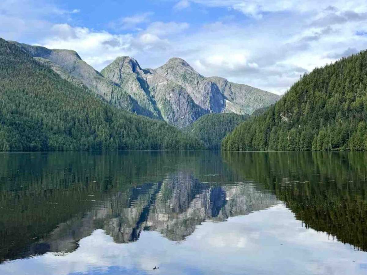
Trail Overview
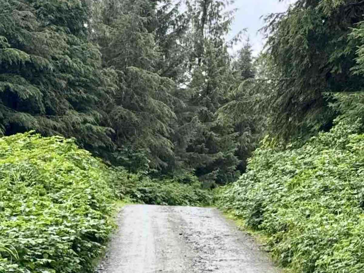
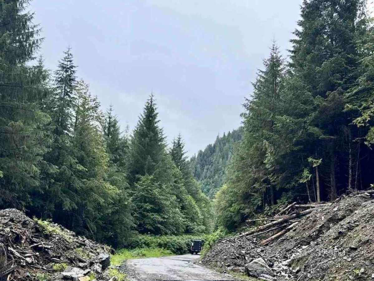
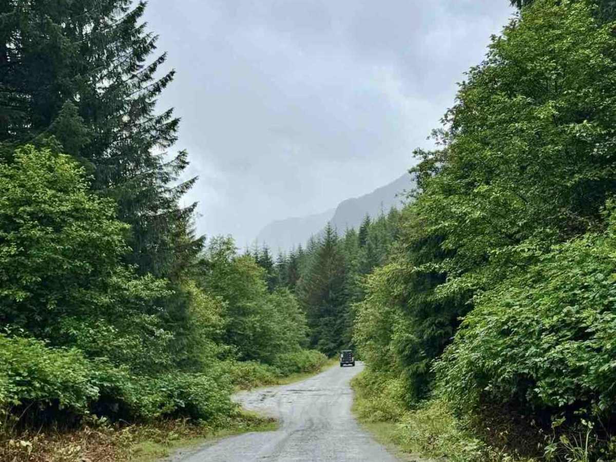
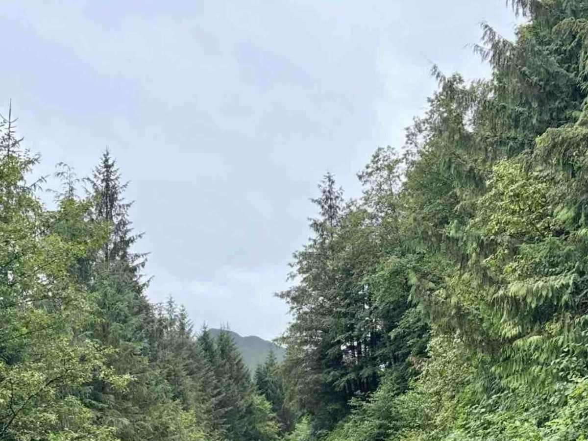
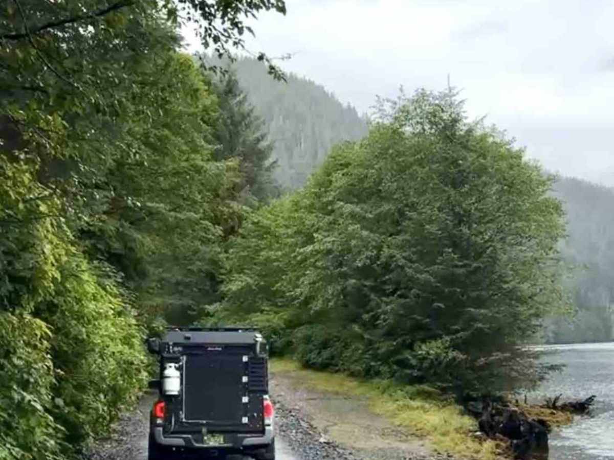
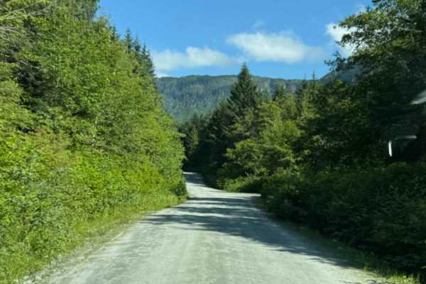
Lachmach Forest Service Road heads west into remote coastal backcountry, slowly dropping from inland forest toward the saltwater at Workman Channel. The road winds through thick coastal rainforest with long shaded stretches, moss-covered trees, and plenty of signs that water plays a big role out here. It’s gravel the whole way, but conditions change often — you’ll roll through solid, well-packed sections and then hit potholes, washboard, soft gravel, or wet spots where drainage isn’t great. Much of the route crosses low-lying terrain with creeks, wetlands, and seasonal runoff close to the road. After rain, puddles and muddy patches are common, and the forest can feel tight as vegetation creeps toward the edges. Sightlines are limited, and pullouts are few, so slower speeds and a heads-up approach work best. As you get closer to the coast, the air feels wetter, and the forest closes in, making the final stretch feel especially remote. The road eventually brings you right down to Workman Channel, offering a rare drive-in connection to saltwater in a part of the coast that still feels wild and quiet.
Difficulty
This is a straightforward gravel road with gentle grades and no technical obstacles in dry conditions. Expect potholes, soft or wet sections, standing water, and limited turnaround spots. It stays easy overall, but rain can slow things down.
History
Lachmach FSR was built for forestry access and is still used as a working resource road. Its connection to Workman Channel makes it a unique route, giving vehicle access to a stretch of coast that would otherwise be difficult to reach.