Trail Overview
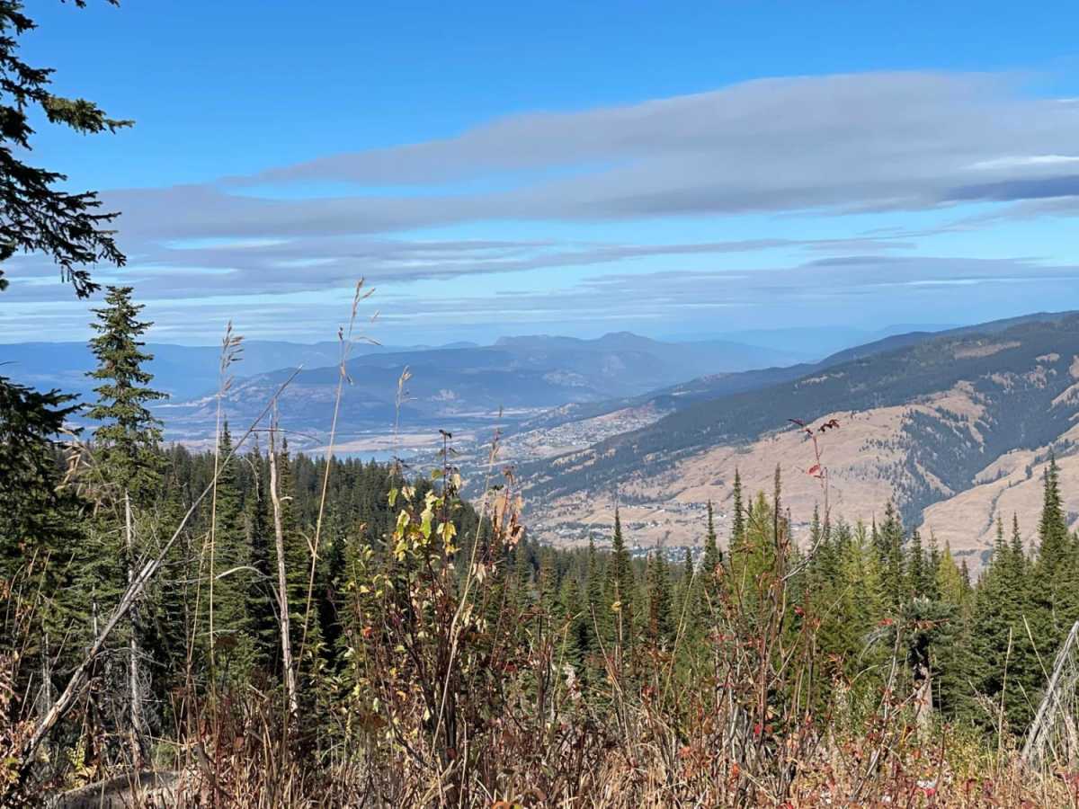
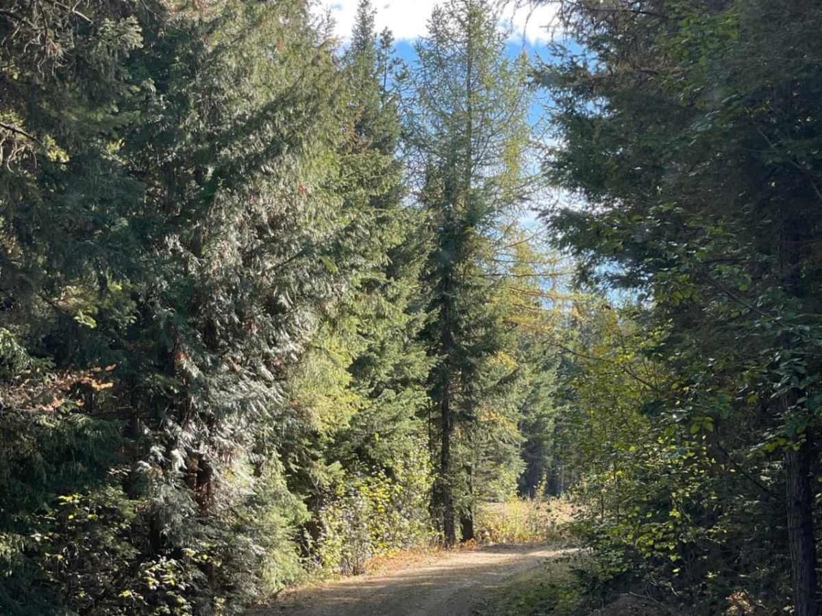
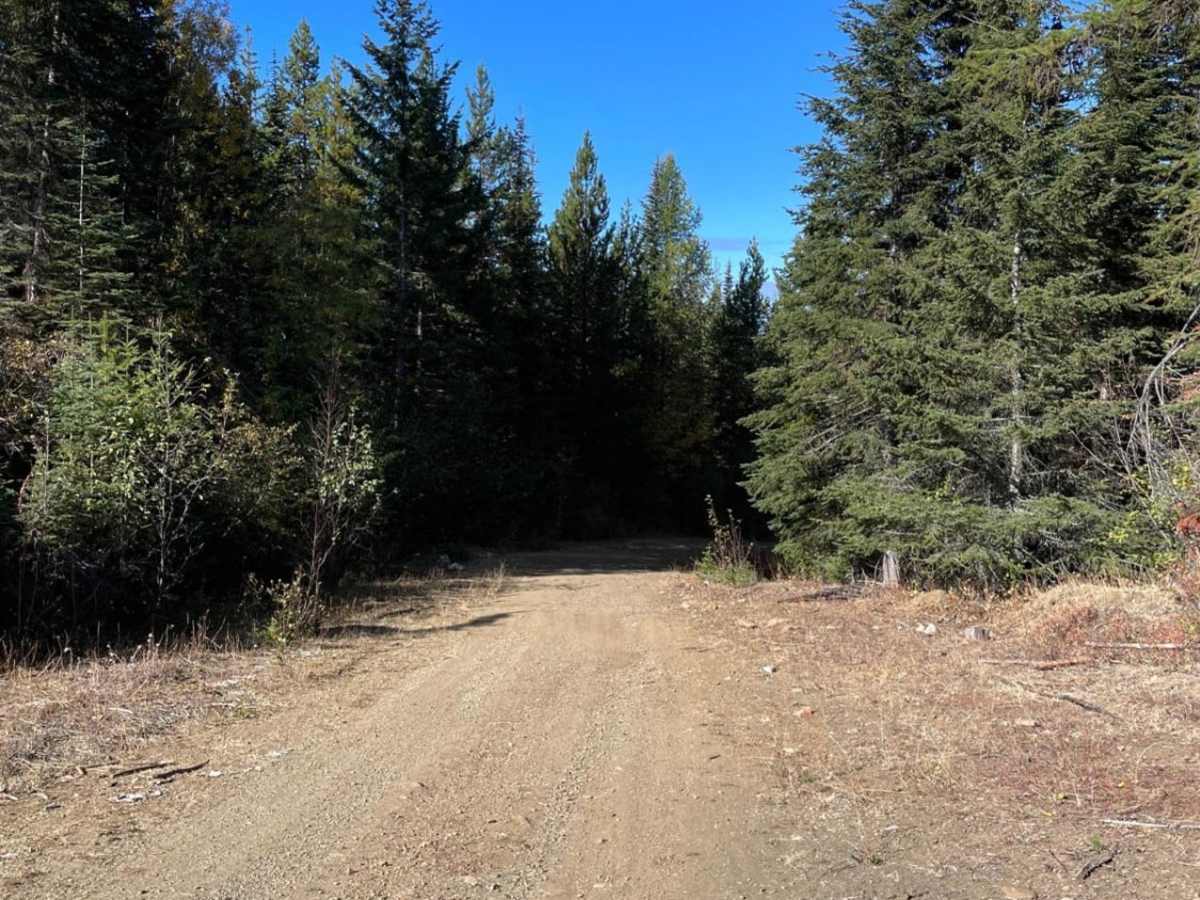
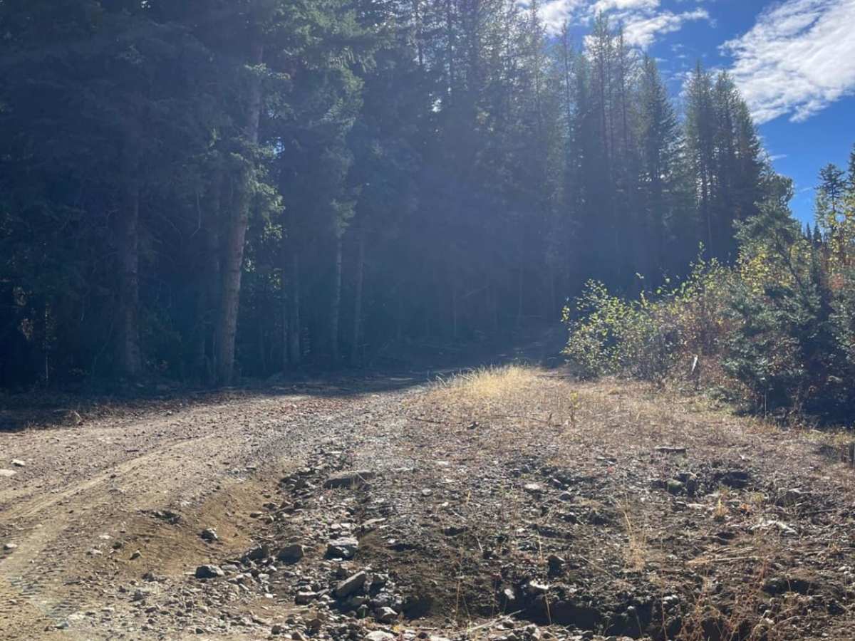
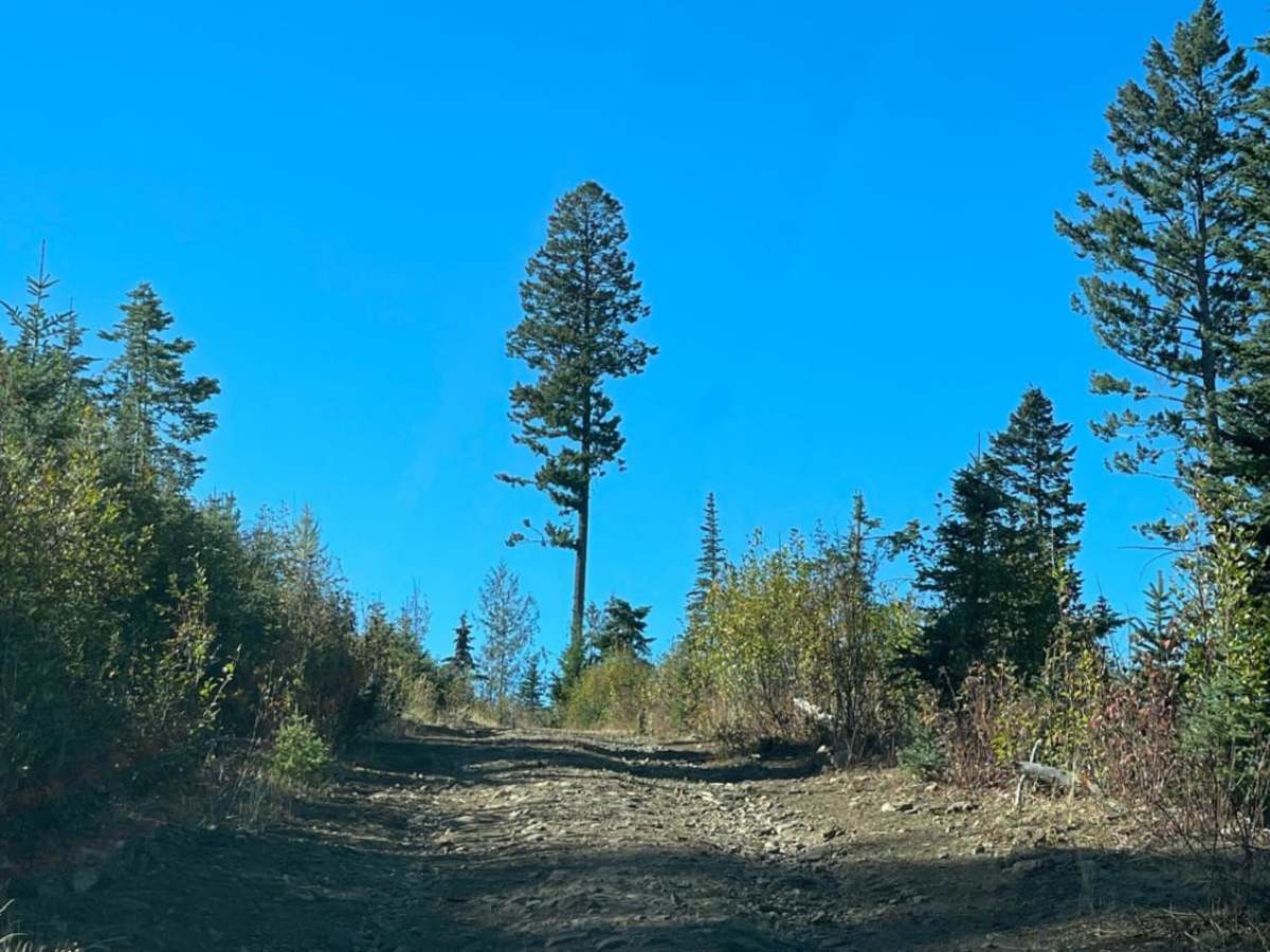
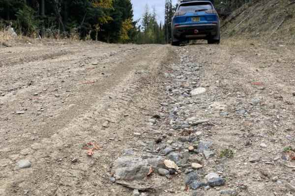
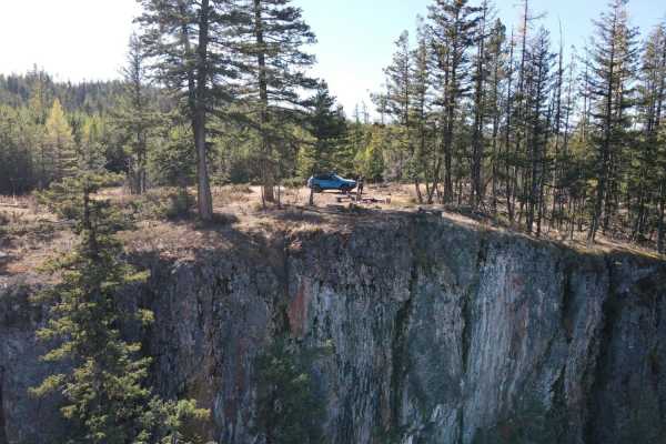
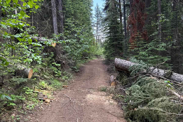
King Edward Parallel is an enjoyable two-mile out-and-back trail ideal for beginners and stock four-wheel-drive vehicles seeking a scenic mountain drive near King Edward Lake. Branching off Loop Road, this inactive logging road climbs approximately 436 feet through a dense forest canopy, reaching a maximum elevation of 4,514 feet. The route features a primary surface of dirt and gravel, with several silty sections that can become quite slick during the spring melt or following heavy rainfall. Navigating this trail provides a remote, lesser-traveled experience, though drivers should remain alert for minor water erosion and deep ruts.
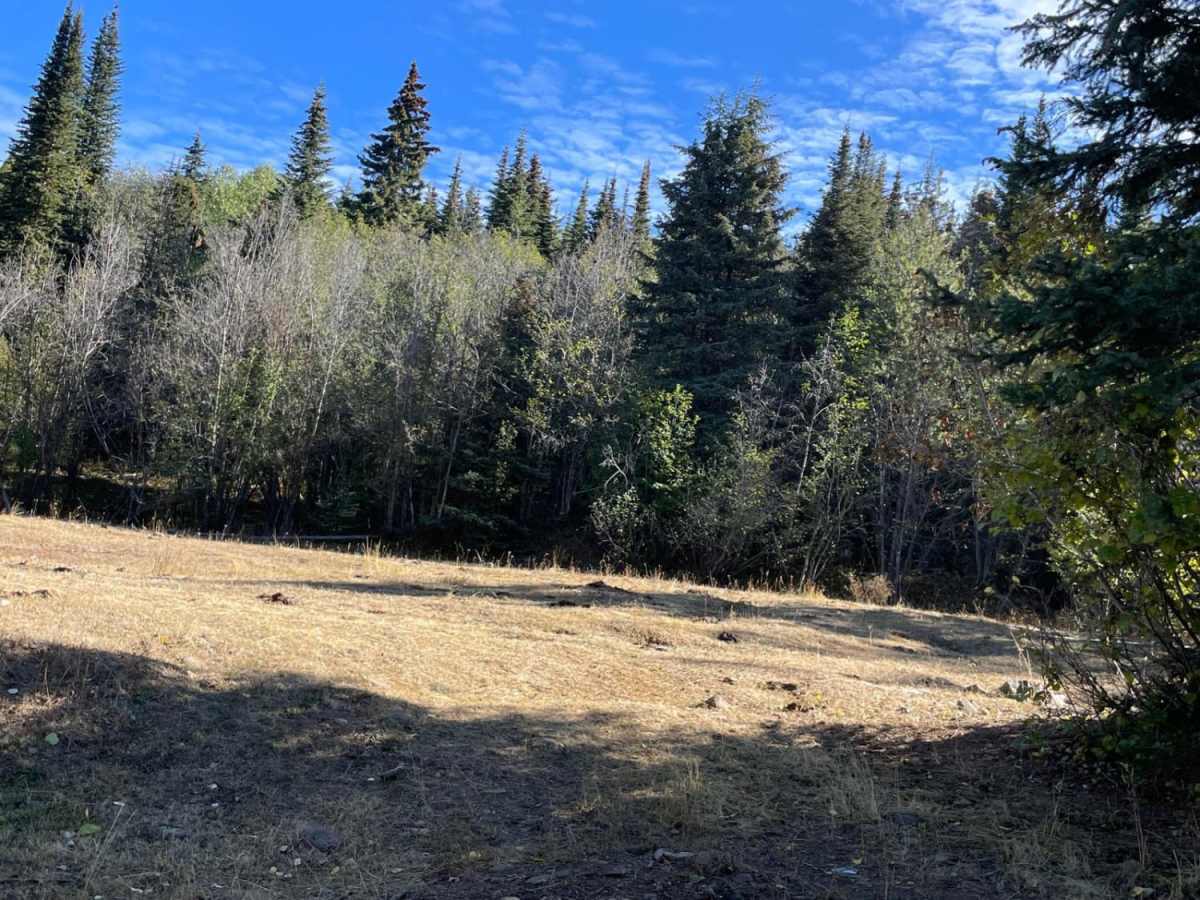
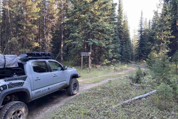
High-clearance four-wheel-drive vehicles and SxSs will easily manage the mild terrain, which carries a technical rating of 3. While the path starts wide enough for standard rigs, it eventually narrows down to a quad-width trail near its terminus. The drive concludes at a clearing blocked by large boulders, which serves as a natural turnaround point just short of the eastern shore of King Edward Lake. This route is best run from late spring through fall when dry conditions minimize mud, making it a quick, accessible trek for those exploring the area's forest service roads.