Trail Overview
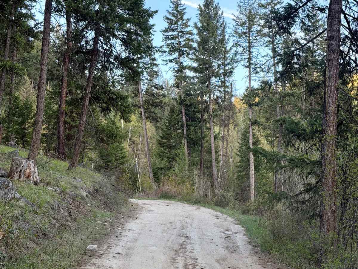
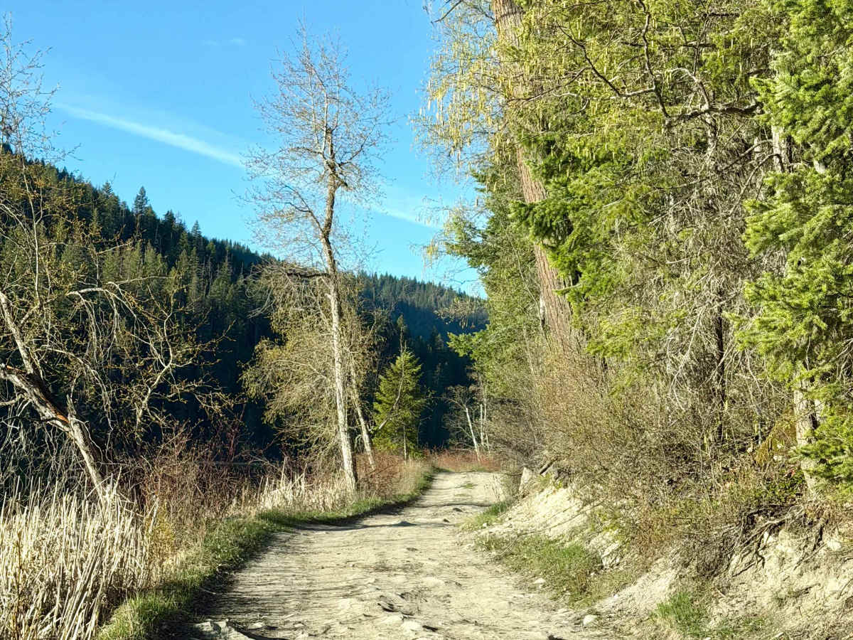
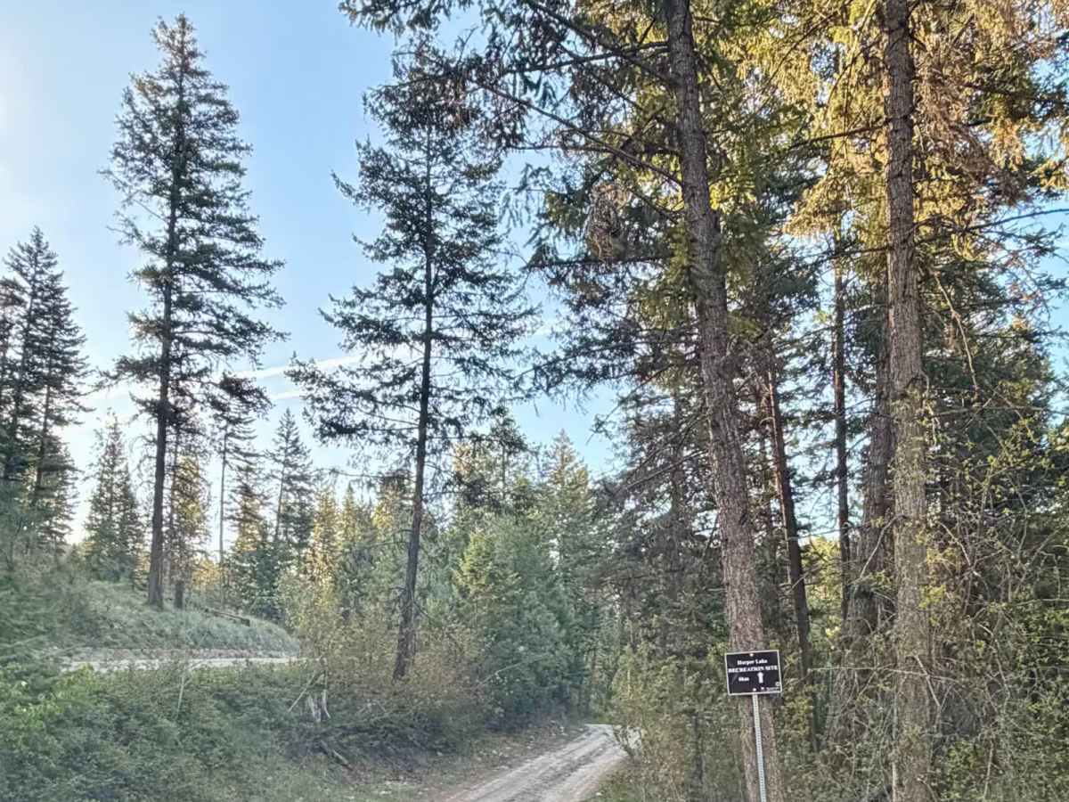
Travel up Harper Lake Road for 3 kilometers. This stretch is generally a good gravel road with reliable access suitable for most vehicles. At the junction, stay right to remain on the correct route toward the lake. Continue another 3 kilometers, still good-quality gravel with gentle grades. After the second 3-kilometer segment, take the left-hand branch. This is the final turn toward the recreation site.
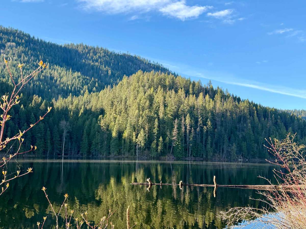
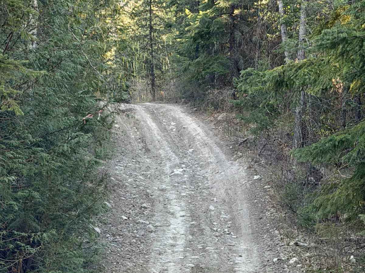
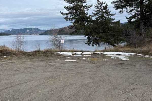
The final approach to the rec site is a short, rough road. It is still passable, but expect potholes, uneven surfaces, and slower travel. High-clearance is recommended. You’ll arrive at a small, quiet recreation site with 7 campsites on a scenic mountain lake. The area is known for fishing, picnicking, and camping.
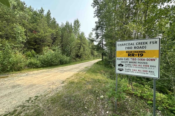
Industrial traffic (logging trucks) may use the road, so drive cautiously. Gravel conditions can vary with weather; expect dust in summer and soft spots in spring. Limited or no cell service near the site, so plan accordingly. Pack in, pack out—no garbage or potable water available
Difficulty
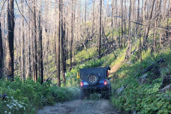
The approach to the lake is a rough, rutted trail with loose rocks. It can be muddy depending on conditions. Harper Lake Road is a gravel, rocky road. Rocky spots can contain 6 to 12-inch boulders.