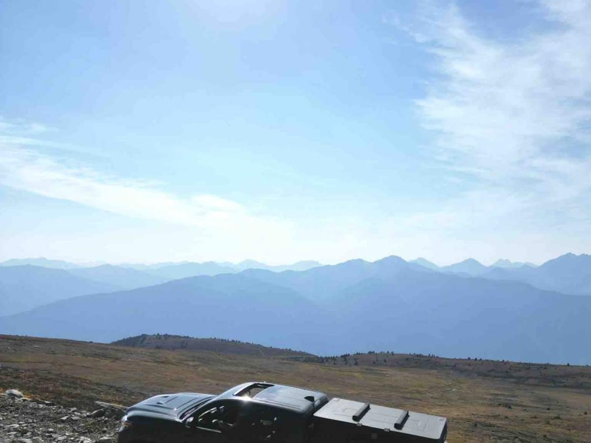
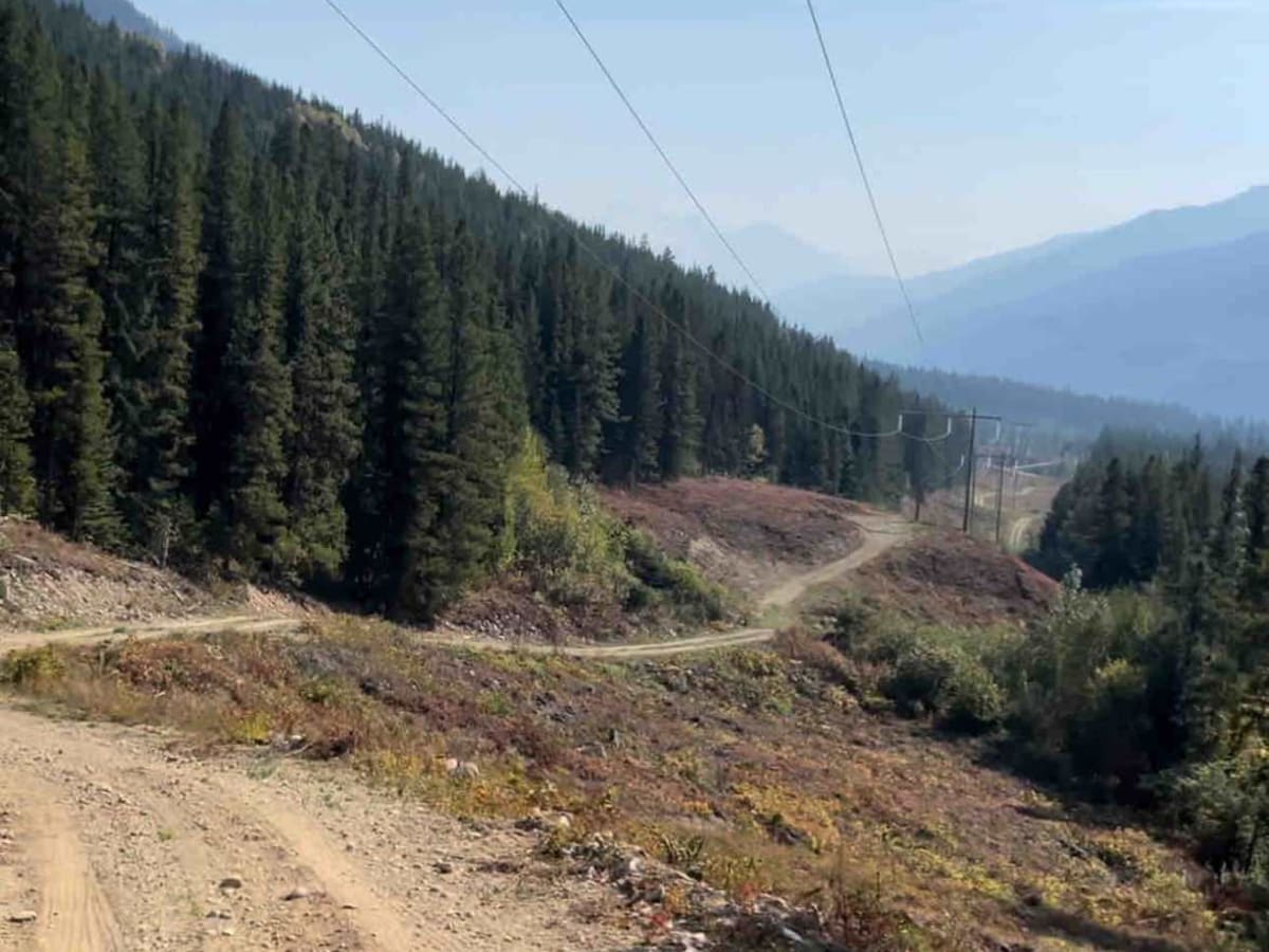
Canoe Mountain Rd

Total Miles 7.8
Technical Rating
4 Moderate
Best Time Summer, Spring, Fall
Trail Type Full-Width Road
Accessible By
Open Trail Map

Trail Overview

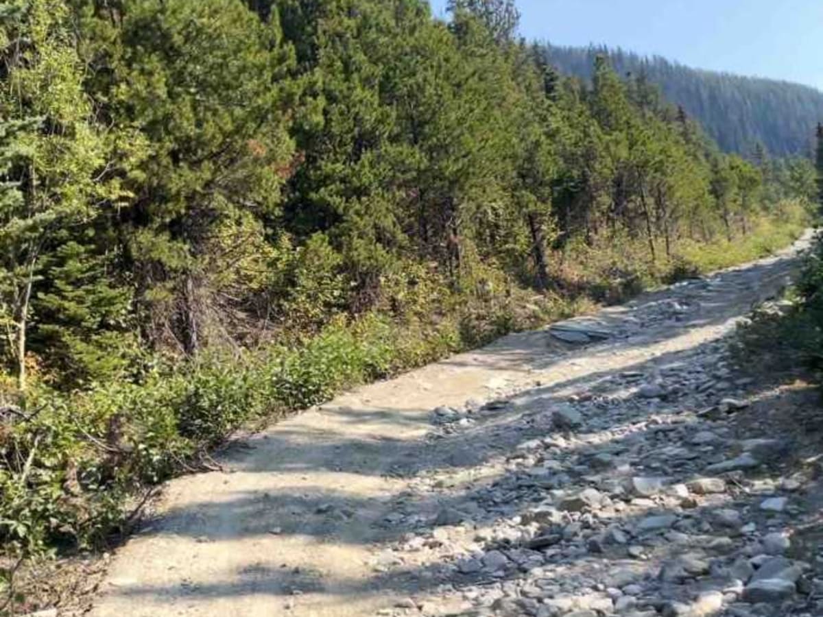
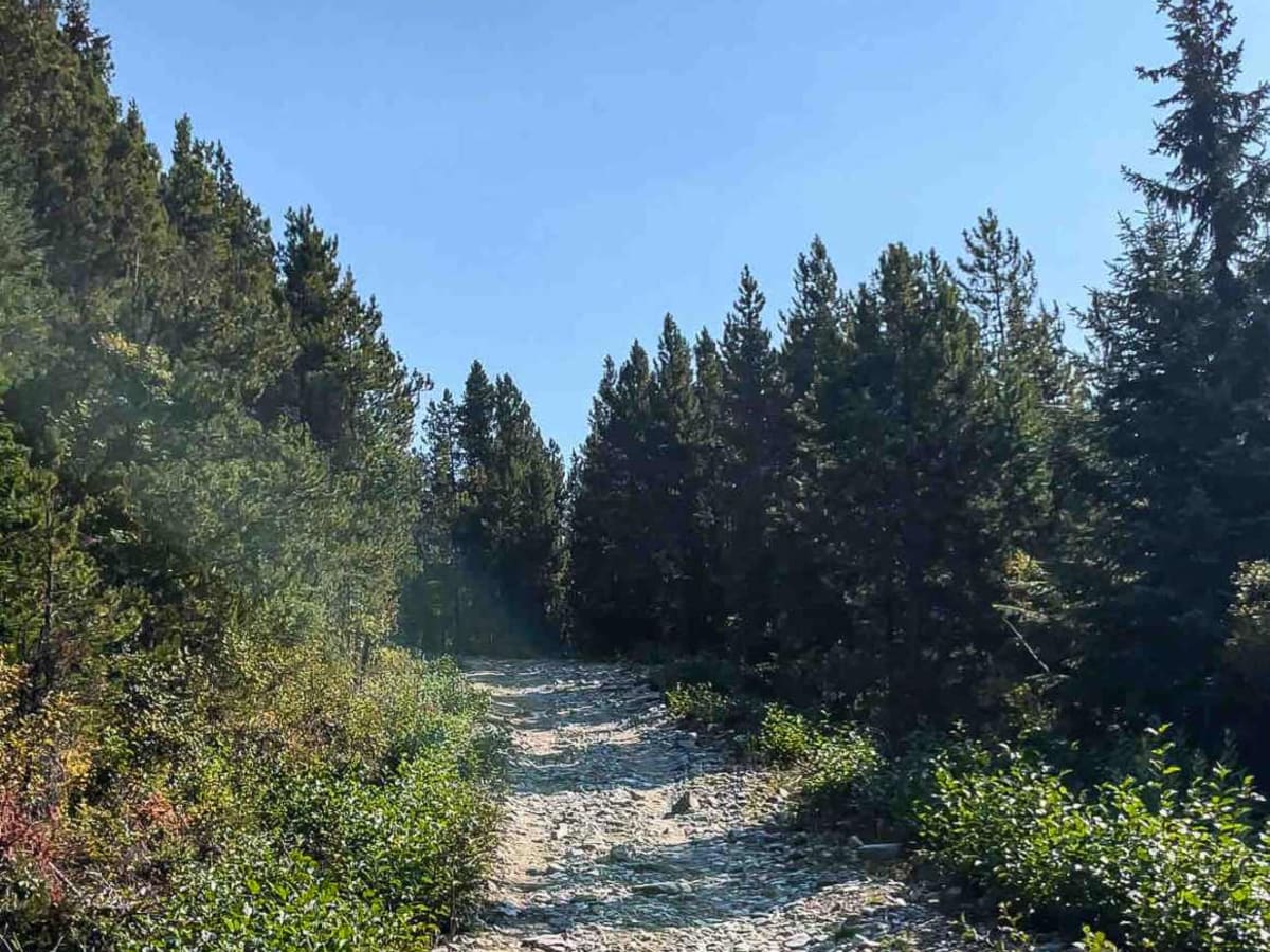
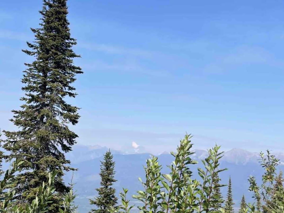
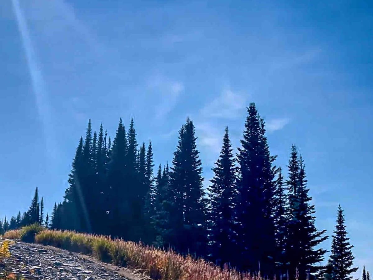
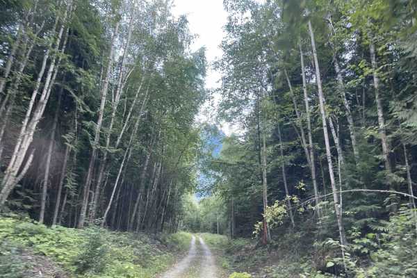
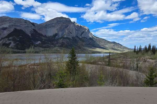
This single-car-width, gravel road up Canoe Mountain in Valemount, British Columbia, is rated as a challenging off-road trail, typically requiring a high-clearance 4WD vehicle due to rough and steep terrain. The road up Canoe Mountain is the highest drivable peak in the Canadian Rockies and all of British Columbia at an elevation of 2.628 meters (8,622 feet) above sea level. You will encounter sections of loose larger rocks (air down!) to navigate over, shelves, narrow sections, small ruts, potholes, and lots of curves. The road winds through dense forests initially and then alpine meadows, with opportunities for wildlife spotting. As you ascend, the landscape transforms, revealing panoramic vistas of the valley below. The summit provides a breathtaking vantage point, with unparalleled views of the Cariboo, Monashee, and Rocky mountain ranges. Make sure you find Mount Robson, the highest peak in the Canadian Rockies, at 3,954 meters. Be prepared for potentially hazardous weather (i.e. extreme wind at the summit); it can change quickly. There is definitely enough room to camp up top if you haven't already blown away! Some things to consider: make sure you have a spare, as there are a lot of loose jagged rocks to go over. There's no cell service and few people are traveling the road, so a satellite device is important. This trail is not maintained in winter and is often even closed in winter.

Photos of Canoe Mountain Rd

Difficulty

Expect lots of loose rocks 3-18 inches to climb over or navigate around, ledges, some ruts, and potholes. Be prepared for some possible rubbing on your underside. There are many sections with steep grades, especially as you near the top.

History

At the top of the mountain, you will find a microwave tower for the Trans Canada Microwave System, built in 1963. The Trans Canada Microwave System is a microwave relay system built in the 1950s that would carry telephone and television signals across Canada from coast to coast.

Technical Rating

4

Status Reports

Add Status Report
Brendan Fowler
Oct 02, 2025
Open
Long bumpy road with sharp rocks, but not really any technical features. 4x4 stock friendly if you have decent clearance and good tires. Airing down will help a lot. Budget 2-3 hours to get to the top. Right now there is light snow above 2000m (the weather station) and deep snow drifts above 2500m (the last loop to the telecommunications tower)
Josh Sutherland
Oct 02, 2025
Open
trail is pretty good still tho the summit is getting some deeper snow drifts, and visibility was poor due to gusting wind and snow. one other person on the trail other then us. awesome trail worth the trip from kamloops.
Darby Hood
Aug 30, 2025
Open
Trail is not difficult at all, maybe if you have a stock truck it would be very bumpy but our group had modified trucks and my Raptor made easy work of the trail climbing around 12-15 kph. Weather was beautiful at the top wind stopped at midnight and it was a comfortable temperature. On the way down the brakes got very toasty, I suggest driving in 4LO and engine braking the whole way down, issue with me is my truck just wants to take off even in 4LO so I still had to be on the brakes
Austin Brown
Jul 06, 2025
Open
Road up is a lot rougher than other years. Looks like a river ran down the entire road exposing large rocks/boulders. Not much dirt left at all, big washouts and a few off camber spots. Its still easy enough, just rough and have to go slow.

Canoe Mountain Rd Trail can be accessed by the following ride types:

  • Single Track
  • 50 Inch
  • 60 Inch
  • High Clearance
  • Full Width

Canoe Mountain Rd Map

The onX Offroad Difference

onX Offroad combines trail photos, descriptions, difficulty ratings, width restrictions, seasonality, and more in a user-friendly interface. Available on all devices, with offline access and full compatibility with CarPlay and Android Auto. Discover what you're missing today!

Open Trail Map