2 trails found in Alberta
Which "north forestry trunk road" are you looking for?
We found 2 off-road trails in Alberta matching your search. Pick the one you're looking for below.
North Forestry Trunk Road
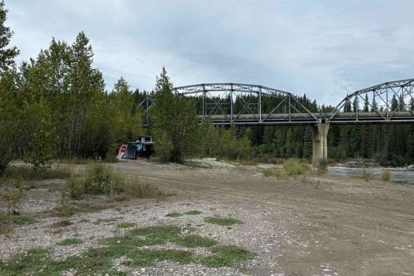
The Forestry Trunk Road is a well-established gravel road that was built to support the oil and gas as well as the forestry industries. This route has opened up the region for hunting, fishing, and all kinds of outdoor recreation. The mainline can be a busy road with logging trucks and tankers howev...
Learn more about North Forestry Trunk Road
North-Central Forestry Trunk Road
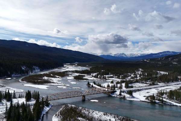
This route covers the section of the forestry trunk road (Highway 40) from Highway 752 west of Rocky Mountain House out to Highway 11 just outside Nordegg. This is a fairly easy route that can be done in most vehicles with some steeper hills and blind corners to be careful on, this is also used by i...
Learn more about North-Central Forestry Trunk Road