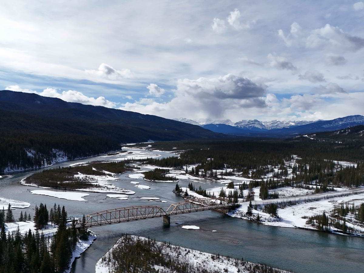
Trail Overview
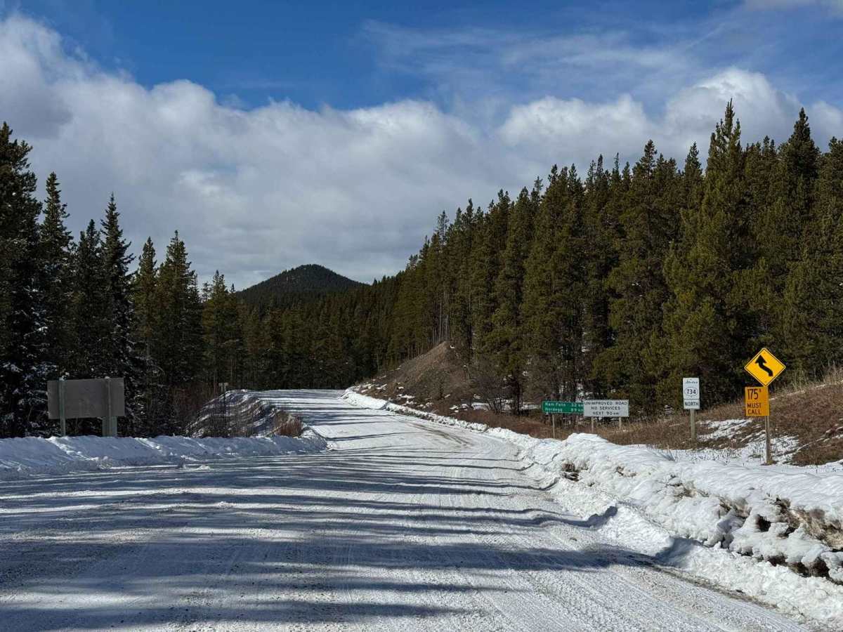
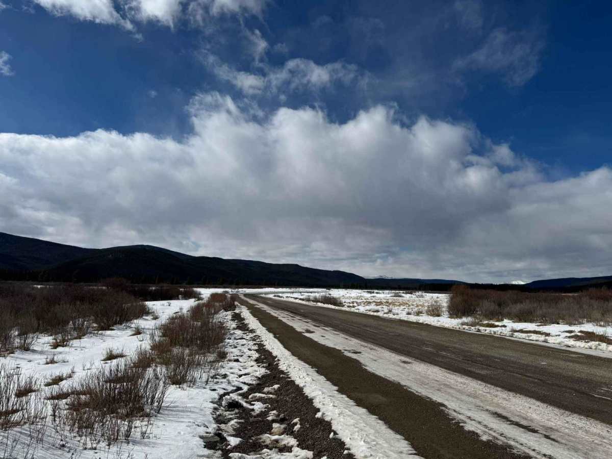
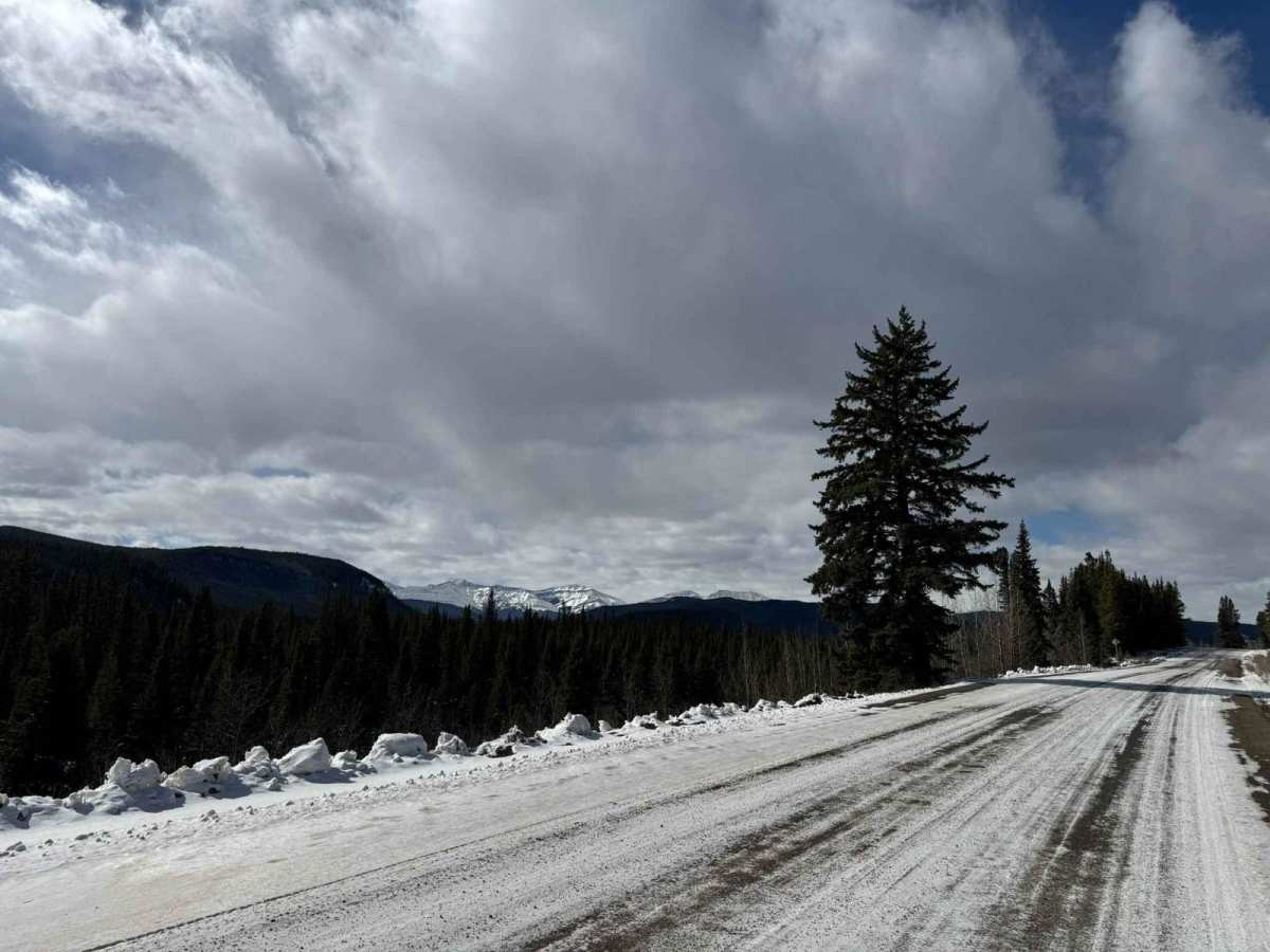
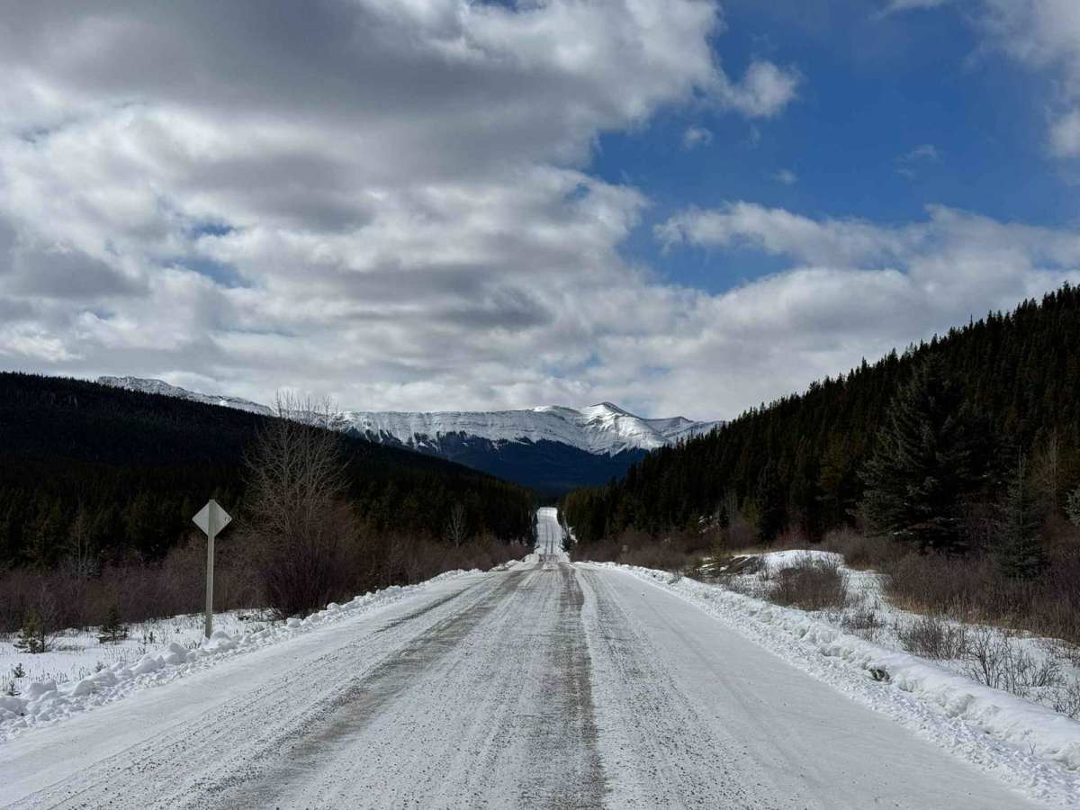
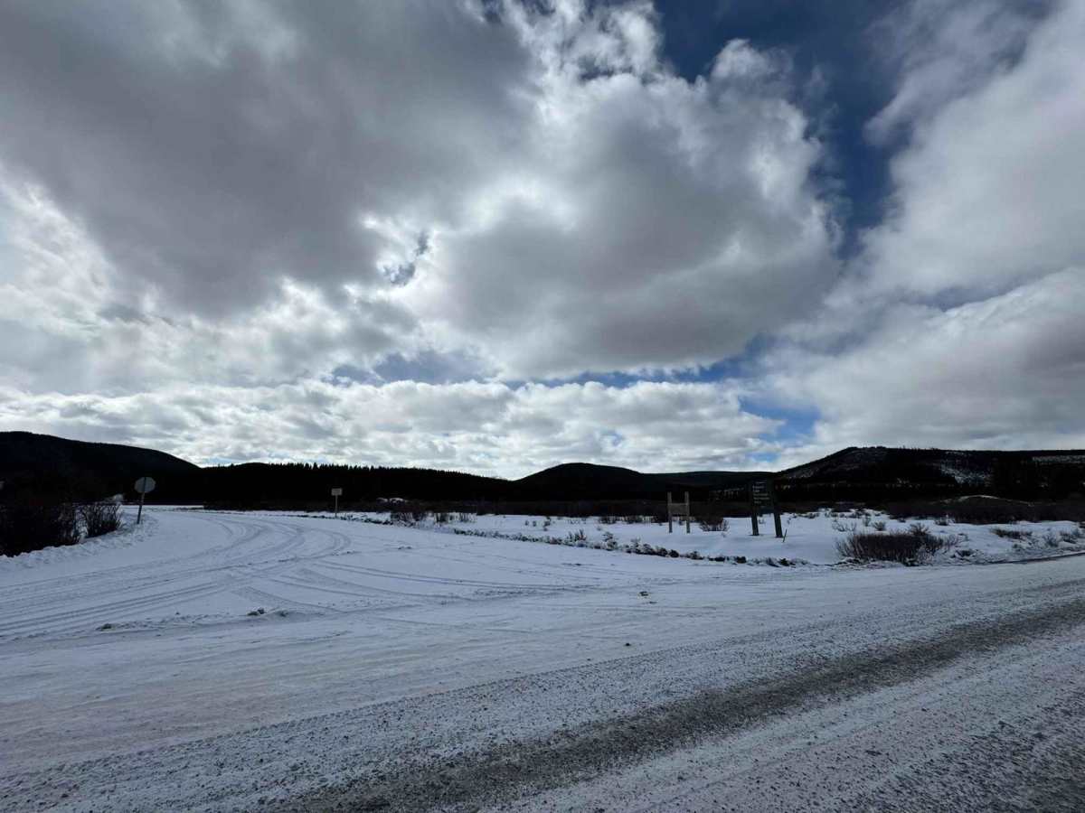
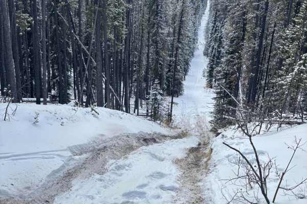
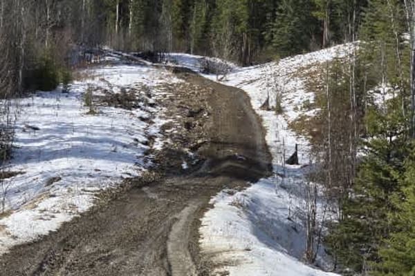
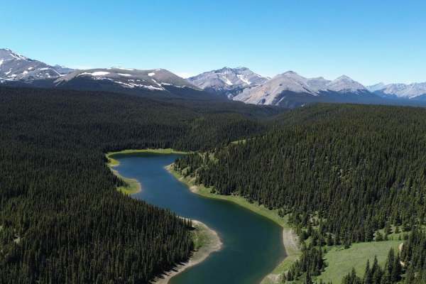
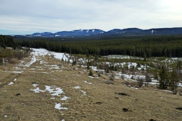
This route covers the section of the forestry trunk road (Highway 40) from Highway 752 west of Rocky Mountain House out to Highway 11 just outside Nordegg. This is a fairly easy route that can be done in most vehicles with some steeper hills and blind corners to be careful on, this is also used by industrial traffic such as log trucks and the oil and gas industry. The entire route is primarily gravel with some hardback dirt sections that when the weather is poor can become a little bit muddy also this is a year-round route, come winter it does get plowed semi-often due to the oil and gas sites along it, but can become slick after snowfall on the steep sections so good tires are recommended. You pass by countless random camping spots, creeks, and rivers, as well as a few provincial recreation sites and campgrounds such as Ram Falls, Peppers Lake, and Elk Creek Campground to name a couple. A road radio is recommended also (LADD 1) and OHV is permitted on portions of the roads, there are signs posted where you are allowed
History
This was built to service the forestry and oil/gas industry, the entire length of the road, start to finish is 1000km long. It consists of amazing views, activities, and all around just a beautiful route to explore, it spans from Crowsnest all the way up to grand prairie.