Heart Peak Trail 106

Total Miles7.4
Technical Rating
4Moderate
Best TimeSummer, Fall
Trail TypeHigh-Clearance 4x4 Trail
Accessible By
Open Trail Map

Trail Overview

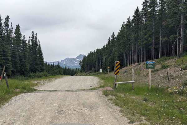
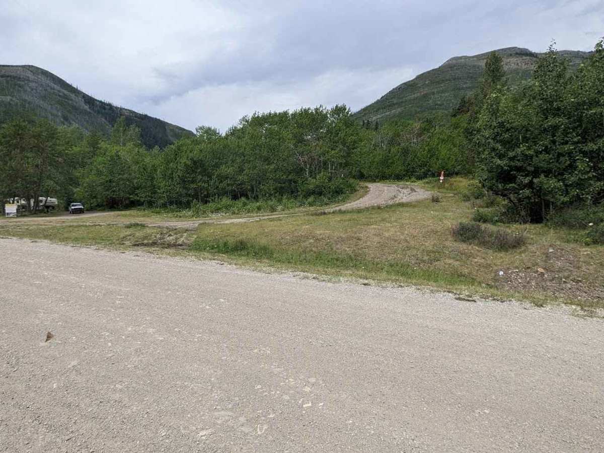
This scenic trail connects Adanac Road to Sartoris Road, winding directly between Hearts Peak and Hillcrest Mountain while offering stunning, panoramic views of multiple surrounding valleys and peaks. The terrain is mostly dirt, featuring loose rocks on a few of the climbs and descents, making it ideal for everything from dirt bikes to narrow 4x4 vehicles. For added convenience, staging areas are located at both ends of the trail, allowing you to easily begin your adventure from either direction.

Photos of Heart Peak Trail 106

Difficulty

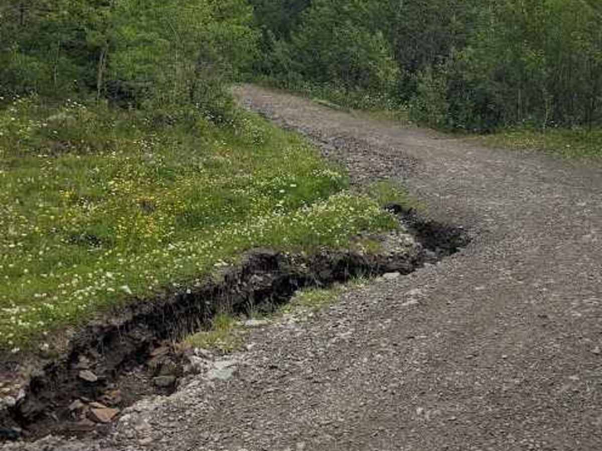
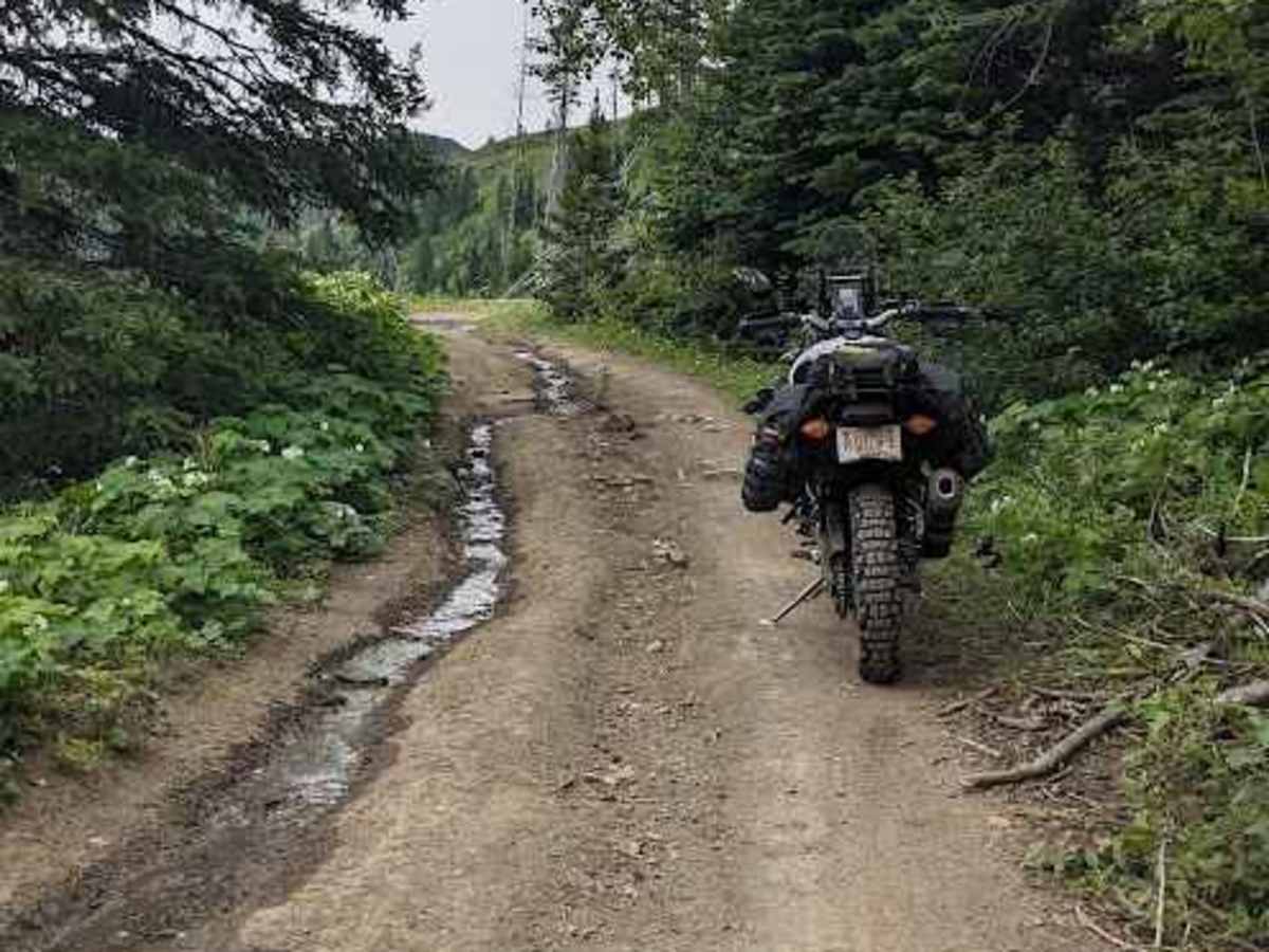
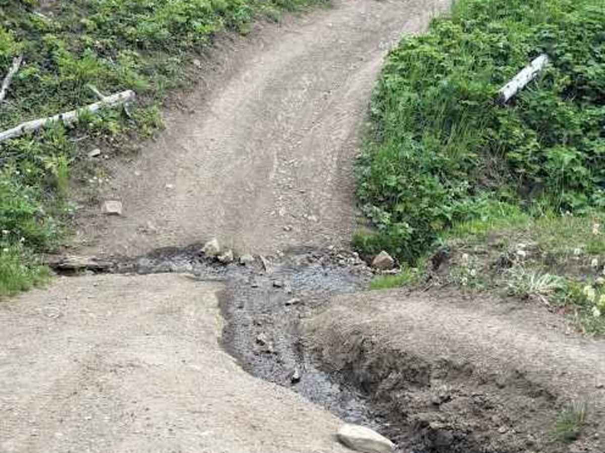
This is generally a very friendly and enjoyable trail, highlighted by a few short mud holes along the way. The main challenges are approximately four steep climbs or descents that feature loose, 3-to-6-inch rocks, which require a bit more care to navigate.

Technical Rating

4

Status Reports

Add Status Report
Nels DC
Sep 02, 2026
Open
Muddy/Wet
I did this trail with a Defender 110 (the older model). Honestly, it was pretty challenging. The weather conditions were bad, but beyond that, this trail simply isn’t really suited to a 4x4 of this size. The trail is probably mainly used by motorcycles, ATVs and side-by-sides. It would be fine for a Suzuki Samurai or a stock-width Wrangler. There are several bridges to cross, including one with side barriers that were exactly the same width as my Defender. There are also several very tight switchbacks that really aren’t suitable for anything much larger than a Defender. Bottom line: it was quite an adventure. It took me 3 hours to cover the last 2 km. I’m glad I did it and even happier that I got out without any major damage — but my underwear is definitely ready for the trash.

Heart Peak Trail 106 Trail can be accessed by the following ride types:

  • Single Track
  • 50 Inch
  • 60 Inch
  • High Clearance

Heart Peak Trail 106 Map

The onX Offroad Difference

onX Offroad combines trail photos, descriptions, difficulty ratings, width restrictions, seasonality, and more in a user-friendly interface. Available on all devices, with offline access and full compatibility with CarPlay and Android Auto. Discover what you're missing today!

Open Trail Map