
Dirt Bike Trails
Near Y-O Ranch, Wyoming
Explore All Dirt Bike Trails Near Y-O Ranch, Wyoming
Dirt Bike Trails Near Y-O Ranch, Wyoming
Discover the best dirt bike trails near you. Browse trail maps, check difficulty ratings, and find your next adventure — whether you're looking for a quick ride or an all-day expedition.
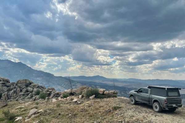
Black Mountain Lookout
Climb 1,700 feet of steep grades and switchbacks with loose rock, a few ledges, and boulders to the top of Black Mountain. At the summit is a historic fire lookout tower with a 360-degree view of the Laramie Peak unit of Medicine Bow-Routt National Forest. The beginning of this trail is an easement ...
Learn more about Black Mountain Lookout
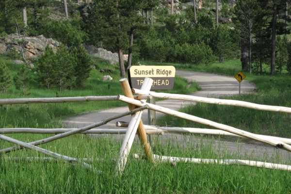
Sunset Ridge
This short ATV loop reaches the top of Sunset Ridge on the northern end of the Laramie Mountains where you'll find terrific views of the area's larger peaks and Wyoming's eastern plains. The loop begins in a pine forest and uses several tight switchbacks to gain the top of the ridge. From the rocky ...
Learn more about Sunset Ridge
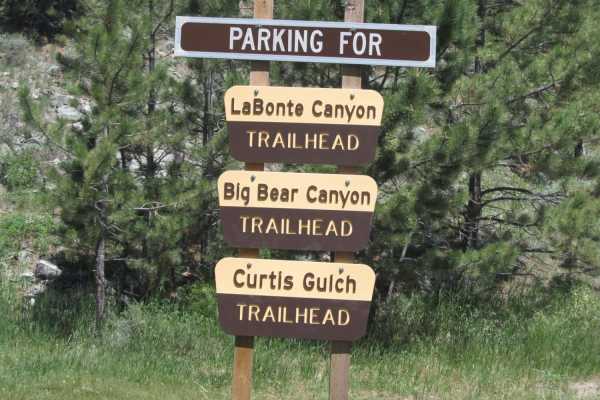
Labonte Canyon
The short trail through LaBonte Canyon is one of the most scenic motorized routes in the Laramie Mountains. This trip takes you through the riparian corridor of LaBonte Creek, bound by hills of granite and covered with apsens, shrubs, pines, and grassy meadows. The passage is rich with opportunities...
Learn more about Labonte Canyon
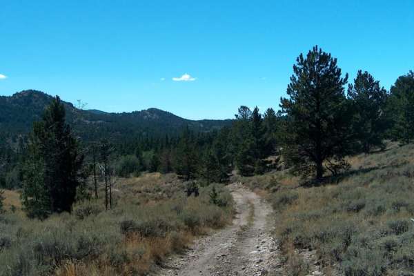
Big Bear Canyon/Devils Pass
Big Bear Canyon and its side trails around Devils Pass are among the best four-wheeling areas in the Laramie Mountains. Begin this trail system by fording LaBonte Creek on the south side of FR 658 and climb into a heavily-timbered canyon covered with ponderosa pines, quaking aspen, and massive bould...
Learn more about Big Bear Canyon/Devils Pass
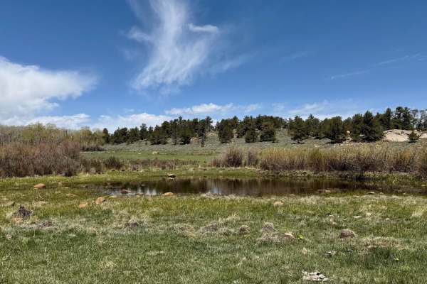
Weir 3 Road
This trail takes you through the northern part of the National Forest, offering a variety of views along the way. The eastern section features a more open landscape, with plenty of chances to spot wildlife. In contrast, the western portion is denser and rockier. At the west end of the trail, the Nor...
Learn more about Weir 3 Road
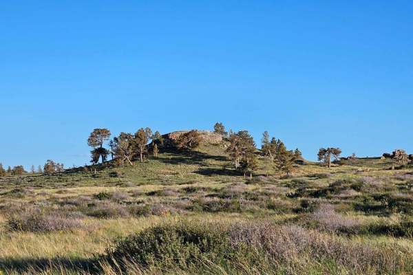
North Beaver Loop
This trail takes you through the north part of Pole Mountain. About halfway through, you will pass by an old uranium mine. It is filled in, but you can still walk around it. The northwest end of the trail has many beaver ponds right along the trail that offer good fishing. There are multiple gates a...
Learn more about North Beaver Loop
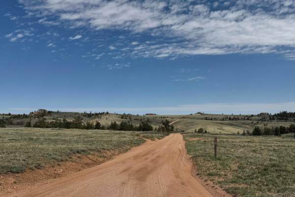
713
Head north on Road 713 to reach the trails that follow the northernmost edge of the National Forest. This is an excellent area for spotting wildlife and taking in expansive open views of the surrounding landscape. There are a few camping spots along the main route, but two spur roads near the beginn...
Learn more about 713
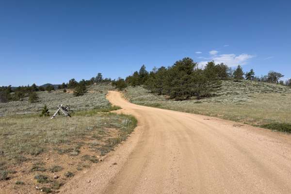
Telephone
Telephone is a portion of FR 712 that provides access to numerous side trails and dispersed campsites. The trail is well graded and generally two vehicles wide. A short section of the trail has buried rocks 2-6 inches, which may cause small bumps. The trail passes through open range with occasional ...
Learn more about Telephone
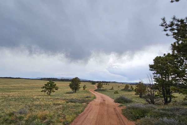
Rancher Loop
This trail takes you through the easternmost part of the Pole Mountain area. The trail is mostly smooth with some rock obstacles, as well as some deep holes that fill with water after a good rain. There are plenty of dispersed camping sites along the way. There is one spot that weaves between 2 tree...
Learn more about Rancher Loop
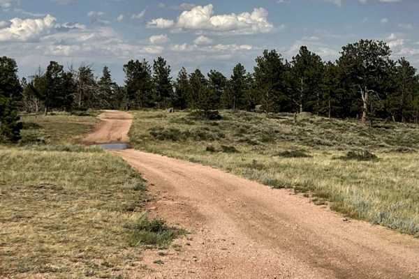
Eagle Rock
This Forest Service backroad cuts through the Medicine Bow National Forest, just north of HWY 210 and the unique Pole Mountain and Vedauwoo areas. This route offers single-lane country roads and provides access to lots of dispersed camping. There are several side tracks that can be driven to hone yo...
Learn more about Eagle Rock

Bisbee Hill Road
This trail leads to the top of Bisbee Hill concrete observation bunker once used by the military. The views from the top are excellent. You can enter the bunker by taking a short walking path around its east side. The trail itself is short and relatively easy. The final climb up the hill can be more...
Learn more about Bisbee Hill Road
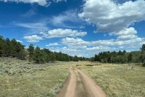
North Ridge Road
This route takes you through the northern area of the Pole Mountain unit of Medicine Bow National Forest between Laramie and Cheyenne and provides access to numerous dispersed campsites. It is a well-graded road consisting of dirt and decomposed granite sand, with numerous bump rocks and water holes...
Learn more about North Ridge Road
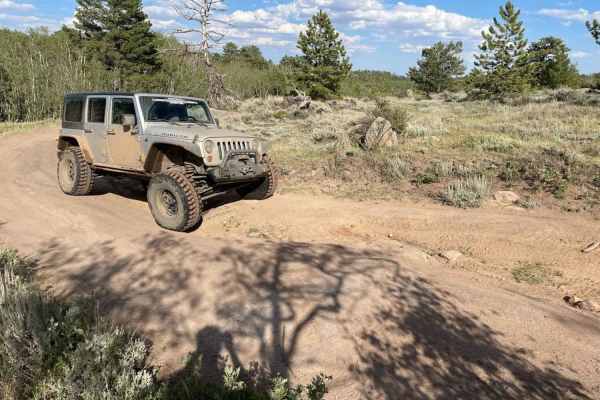
Crow Spring Road
The beginning of this route on the North Branch Crow Creek Road is fairly easy, with only a few tight turns and requiring only enough clearance to negotiate the standard forest service earthen water diversion berms. After crossing the North Branch Crow Creek, the Crow Spring Spur becomes a tight and...
Learn more about Crow Spring Road
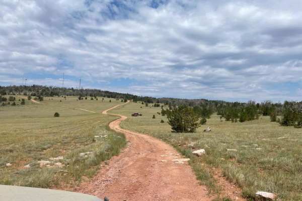
West Pilot Hill Road and Laycock Spring
The West Pilot Hill Road is a rough, rocky Forest Service road that provides access to the television and radio tower sites above Laramie. The portion of the road accessible by motor vehicles ends just below pilot hill, but non-motorized trails connect this area to the city of Laramie. The short sid...
Learn more about West Pilot Hill Road and Laycock Spring
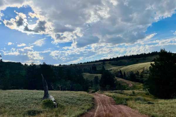
Telephone Extension
Telephone Extension is an engaging connector trail designed for offroaders seeking a scenic, slightly challenging shortcut through the Pole Mountain area of Medicine Bow National Forest. Connecting Happy Jack Road and Eagle Rock Road between Laramie and Cheyenne, this route features rolling terrain ...
Learn more about Telephone Extension
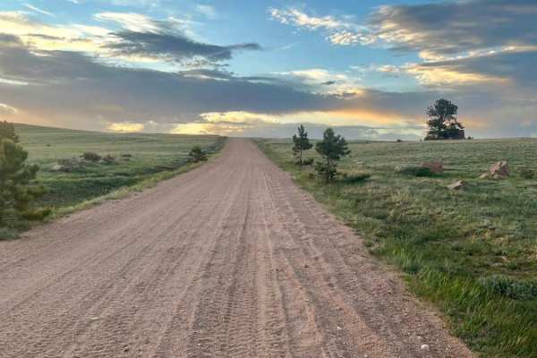
Caretakers
This graded and well-maintained backroad cuts through the Medicine Bow National Forest, just north of HWY 210 and the unique Vedauwoo area. This route offers undulating country roads and provides access to lots of dispersed camping. You'll pass North Crow Creek, which offers amazing views of ranch l...
Learn more about Caretakers
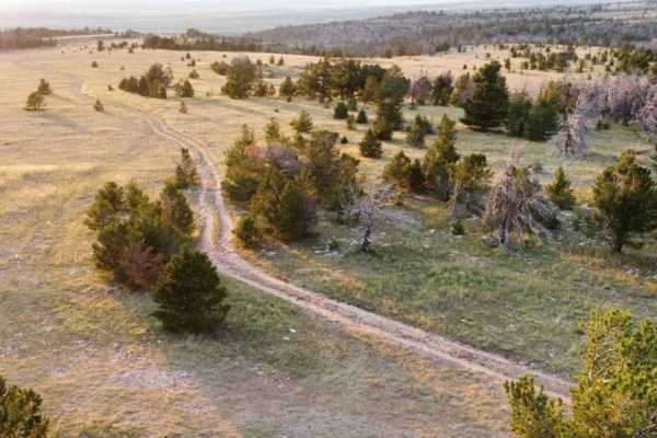
Sullivon Spring Road
Sullivon Spring Road is a short, scenic out-and-back trail in the Pole Mountain area of Medicine Bow National Forest, offering high-clearance four-wheel-drive vehicles and SxSs a quick but moderately challenging trek with sweeping views of Laramie and the Snowy Range. Spanning roughly 1.5 miles one ...
Learn more about Sullivon Spring Road
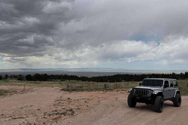
Govt Gully
This is a well-maintained dirt road leading to an amazing viewpoint overlooking the city of Laramie, with the Snowy Range peaks visible in the distance. There are several dispersed camping sites along the way. Do not open any gates at the top of the trail, as this marks the edge of the National Fore...
Learn more about Govt Gully
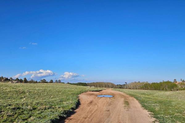
FS 708
This starts as a nice single vehicle wide trail that meanders to the eastern edge of the Pole Mountain area. There are several very nice dispersed camping spots along the way. As you venture farther and cross the cattle guard, the trail does have some rough spots with small rock ledges and ruts in t...
Learn more about FS 708
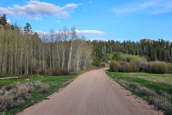
Blair Wallis Road
This is an amazing road that takes you through the heart of Vedauwoo. The trail takes you along a creek through a beautiful valley full of beaver ponds. There is plenty of dispersed camping along the way, as well as some side roads that lead to fun adventures. The road is closed annually starting Fe...
Learn more about Blair Wallis Road
ATV trails near Y-O Ranch, Wyoming
Explore ATV-friendly trails near you. These trails are accessible for vehicles up to 50 inches wide, perfect for ATVs and smaller off-road machines.
Black Mountain Lookout
Climb 1,700 feet of steep grades and switchbacks with loose rock, a few ledges, and boulders to the top of Black Mountain. At the summit is a historic fire lookout tower with a 360-degree view of the Laramie Peak unit of Medicine Bow-Routt National Forest. The beginning of this trail is an easement ...
Learn more about Black Mountain Lookout
Sunset Ridge
This short ATV loop reaches the top of Sunset Ridge on the northern end of the Laramie Mountains where you'll find terrific views of the area's larger peaks and Wyoming's eastern plains. The loop begins in a pine forest and uses several tight switchbacks to gain the top of the ridge. From the rocky ...
Learn more about Sunset Ridge
Labonte Canyon
The short trail through LaBonte Canyon is one of the most scenic motorized routes in the Laramie Mountains. This trip takes you through the riparian corridor of LaBonte Creek, bound by hills of granite and covered with apsens, shrubs, pines, and grassy meadows. The passage is rich with opportunities...
Learn more about Labonte Canyon
Big Bear Canyon/Devils Pass
Big Bear Canyon and its side trails around Devils Pass are among the best four-wheeling areas in the Laramie Mountains. Begin this trail system by fording LaBonte Creek on the south side of FR 658 and climb into a heavily-timbered canyon covered with ponderosa pines, quaking aspen, and massive bould...
Learn more about Big Bear Canyon/Devils Pass
UTV/side-by-side trails near Y-O Ranch, Wyoming
Find UTV and side-by-side trails near you. These trails accommodate vehicles up to 60 inches wide, ideal for UTVs, side-by-sides, and wider off-road rigs.
Black Mountain Lookout
Climb 1,700 feet of steep grades and switchbacks with loose rock, a few ledges, and boulders to the top of Black Mountain. At the summit is a historic fire lookout tower with a 360-degree view of the Laramie Peak unit of Medicine Bow-Routt National Forest. The beginning of this trail is an easement ...
Learn more about Black Mountain Lookout
Weir 3 Road
This trail takes you through the northern part of the National Forest, offering a variety of views along the way. The eastern section features a more open landscape, with plenty of chances to spot wildlife. In contrast, the western portion is denser and rockier. At the west end of the trail, the Nor...
Learn more about Weir 3 Road
North Beaver Loop
This trail takes you through the north part of Pole Mountain. About halfway through, you will pass by an old uranium mine. It is filled in, but you can still walk around it. The northwest end of the trail has many beaver ponds right along the trail that offer good fishing. There are multiple gates a...
Learn more about North Beaver Loop
713
Head north on Road 713 to reach the trails that follow the northernmost edge of the National Forest. This is an excellent area for spotting wildlife and taking in expansive open views of the surrounding landscape. There are a few camping spots along the main route, but two spur roads near the beginn...
Learn more about 713
The onX Offroad Difference
onX Offroad combines trail photos, descriptions, difficulty ratings, width restrictions, seasonality, and more in a user-friendly interface. Available on all devices, with offline access and full compatibility with CarPlay and Android Auto. Discover what you're missing today!
Open Trail Map