
Dirt Bike Trails
Near Winchester, Idaho
Explore All Dirt Bike Trails Near Winchester, Idaho
Dirt Bike Trails Near Winchester, Idaho
Discover the best dirt bike trails near you. Browse trail maps, check difficulty ratings, and find your next adventure — whether you're looking for a quick ride or an all-day expedition.
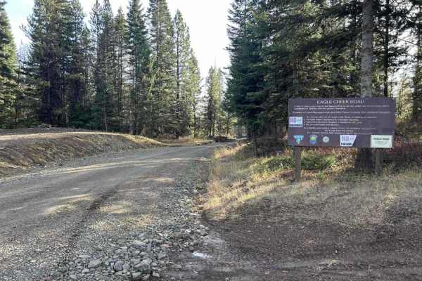
Eagle Creek - FS 35001
Eagle Creek is a 17.3-mile out-and-back trail that starts in the Craig Mountains at an elevation of 4,959' before descending to the Salmon River at 1,080'. The first 11 miles make up the descent, as the trail winds down through a tight, steep canyon along a creek sharing its name. This section is a ...
Learn more about Eagle Creek - FS 35001
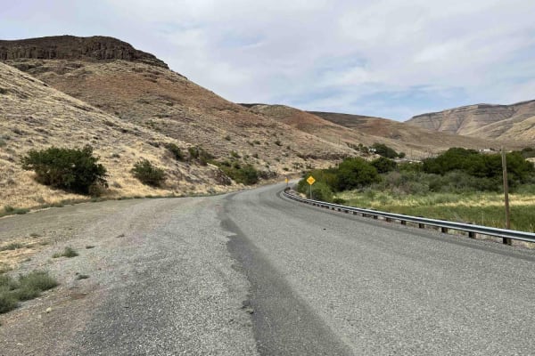
Steptoe Canyon Road
Steptoe Canyon Road is a point-to-point gravel road that climbs from the banks of the Snake River up to the Palouse plateau. The road is lined with private property on both sides, so please be respectful when on this trail. There are lots of blind corners as well, so be sure to stay to the right. Th...
Learn more about Steptoe Canyon Road
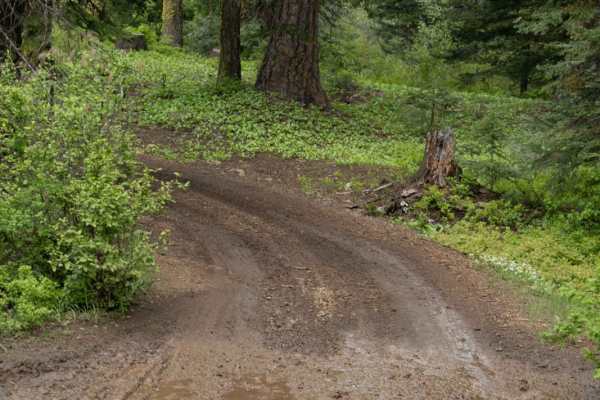
Big Butte Lookout
This is a 1-mile trail up to a big butte fire lookout. If you are driving a dirt bike/SxS, you are able to drive continually up to the lookout. If you are in an SUV or full-sized vehicle, it is advised you park at the fence line and walk the remaining way.
Learn more about Big Butte Lookout
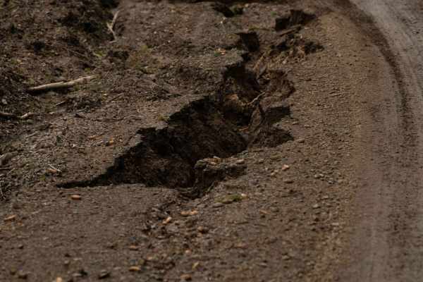
Wenatchee Big Butte
Wenatchee Big Butte is a 7-mile connection trail on the route to the Big Butte fire lookout. This is a well-groomed trail made mostly of compact dirt with the occasional loose gravel. This is approximately one vehicle wide. There are multiple pull-out and small offshoots, some of which were blocked ...
Learn more about Wenatchee Big Butte
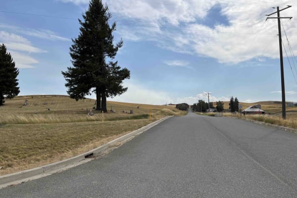
Rimrock Road
Rimrock Road is a point-to-point gravel road that skirts along the top of the Snake River Canyon. The trail is lined with private farmland on either side, so please be respectful when passing through. The road is well-maintained and two lanes wide for its entire length. Watch out for farm equipment ...
Learn more about Rimrock Road
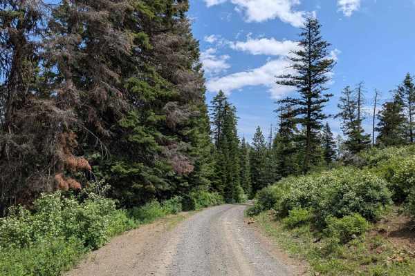
Buckhorn Overlook Spur
Buckhorn Overlook Spur is a short but rewarding 2-mile out-and-back trail that connects Forest Road 46 to one of the most breathtaking viewpoints in the region--Buckhorn Overlook, perched above the legendary Hells Canyon, the deepest river gorge in North America. The dirt road is mostly easy, but fe...
Learn more about Buckhorn Overlook Spur
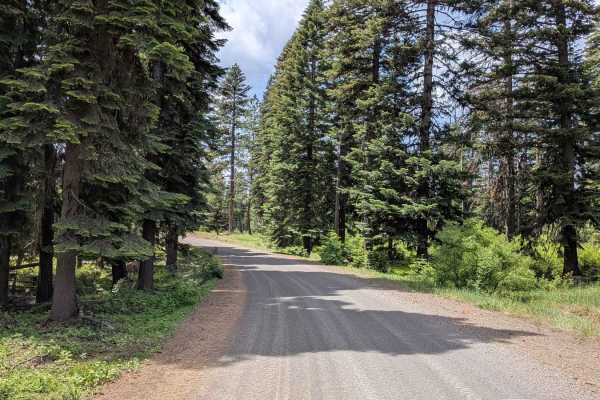
Wellamockin Road North NF46
Wellamockin Road North NF46 is a well-graded gravel route that threads through a scenic forested area just north of the Duncorn Overlook Road. The trail is lined with pine trees and lush green vegetation, making it especially vibrant in the spring when wildflowers bloom abundantly. Travelers will fi...
Learn more about Wellamockin Road North NF46
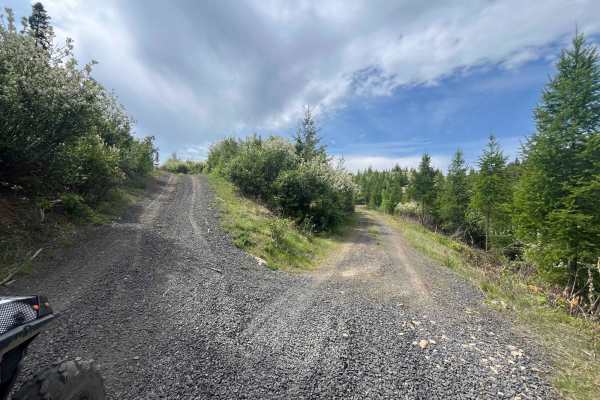
Dinner Bucket Road
Dinner bucket road for 2 2-mile ride one way. Potlatch permit required. At the Y of Forest Service Road 4772. The road is dirt/rock and is an old logging road that runs along a ridge off Park Road. This is usually gated for 50 inch or smaller, but currently the gate is down off the Park road side. I...
Learn more about Dinner Bucket Road
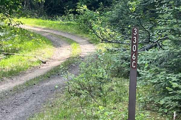
Forest Service Road 3306C
Forest Service Road 3306C off of 4772. 1.8 miles one way, Dirt track through the woods. It is an easy ride, except it is narrow in some places due to overgrowth and downed trees that are over part of the old logging road. Climb up through trees and drop back down into the clear-cut area. Part of thi...
Learn more about Forest Service Road 3306C
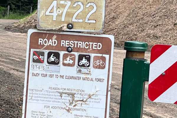
Little Bolder - FS 4772
Forest service road 4772 gated road for 50 inch or less. Parking area nearby and the Little Bolder campground, along with pit toilets. Rock dirt road with lots of spur roads to go on off this main road. Watch for logging activity at the time of logging the trail. This is an old logging road that has...
Learn more about Little Bolder - FS 4772
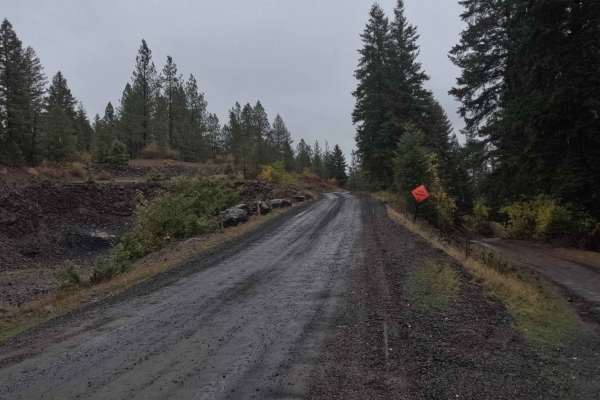
Schoolhouse Gulch - FS 4761
Schoolhouse Gulch is a 7-mile out-and-back trail that starts near Little Boulder Campground. It is a slow and steady climb for its entire length, ending at a small clearing. The road surface is mostly smooth gravel, with a few sections of slick mud after a rain. There are a couple of areas where the...
Learn more about Schoolhouse Gulch - FS 4761
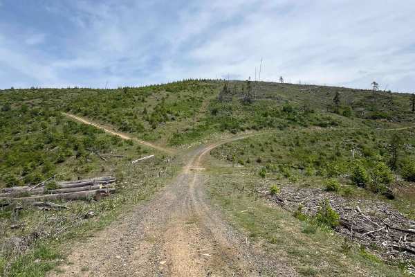
National Forrest Development Road 3308
This is part of a track that goes up to McGary Butte. There are multiple ways to get to the top. This is an old logging road that goes through clearcuts and has amazing views of the surrounding area. Some run-off areas are harder to navigate on the track. The track surface is dirt, rock, and sand in...
Learn more about National Forrest Development Road 3308
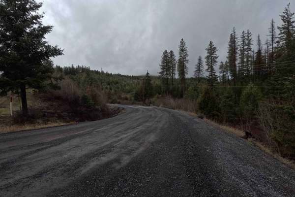
Brush Creek - Trail 289
Brush Creek is a 2.7-mile out-and-back gravel road following a creek of the same name. The route terminates at a gate with a 50-inch width restriction located just past a three-way intersection. The final section of the trail transitions from gravel to dirt, which becomes slick, soft mud in wet cond...
Learn more about Brush Creek - Trail 289
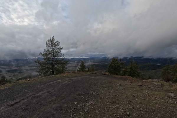
Potato Hill Road - Trail 783
Potato Hill Road is a 2-mile out-and-back trail ascending from Main Street in Deary to the summit of the officially named Potato Hill, locally known as Spud Hill, at an elevation of 4017 feet. The trail begins as a narrow gravel road and progressively transitions into a tight, rutted, and steep rout...
Learn more about Potato Hill Road - Trail 783
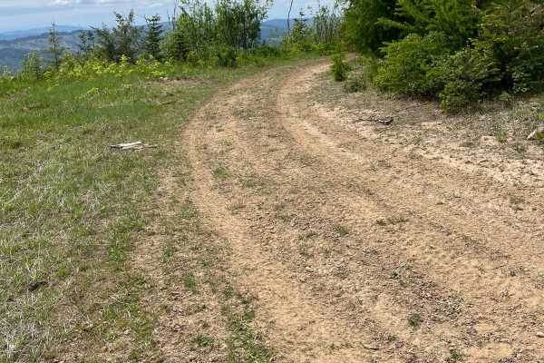
National Forest Development Road 3308
This trial goes from the top of McGary Butte down to Highway 8. This 4-mile track is rough and harder to navigate in areas due to run-off during spring. Old dirt logging road through the trees off the backside of the butte. The trail is downhill all the way. It is called National Forest Development ...
Learn more about National Forest Development Road 3308
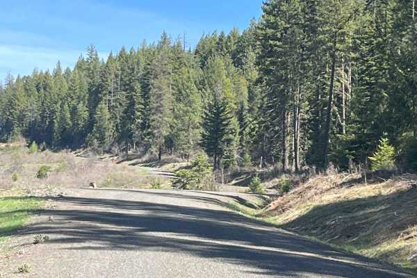
Cherry Butte Lower Road
This is an easy ride off the Brush Creek main road, around a gate that is 50 inches wide, maximum. The road past the gate is a logging road that winds through clear cuts. The road has runoff ridges along the way. This trail takes the lower road around Cherry Butte and dead-ends 5.6 miles up and back...
Learn more about Cherry Butte Lower Road
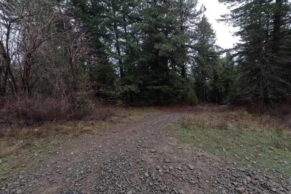
Potato Hill Connector
Potato Hill Connector is a 1.2-mile point-to-point trail connecting Potato Hill Road (Trail 783) with Brush Creek (Trail 289). Starting from the west, the trail begins as a narrow double-track before quickly becoming heavily rutted and off-camber. At 0.25 miles, a cattle guard with posts approximate...
Learn more about Potato Hill Connector
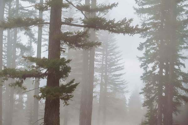
Coleman Road
Coleman Road connections Smoothing Iron and Wenatchee Big Butte Trails. It is a well-groomed dirt trail approximately 1.5 vehicles wide narrowing down to approximately 1 vehicle wide. There are numerous pull-out dispersed camping areas on the left-hand side and gorgeous valley views to the right. Th...
Learn more about Coleman Road
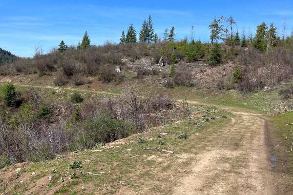
Bing Cherry Trail
Off Cherry Butte Road, this is an older logging road through clearcut until it turns into more of a trail on Forest Service Road 3850 to Bing Cherry. It connects at the other end to Vasser Meadow Road. It's an overall easy ride. Two parts of the trail are narrower and brushy before meeting back up w...
Learn more about Bing Cherry Trail
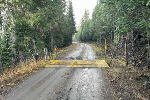
Potlatch River - FS 3332
Potlatch River is a 3.5-mile point-to-point power-line road that starts at the end of Fork Rd on the southwest side, snaking up through a section of the Clearwater National Forest before breaking out into a clearing and following power lines for the rest of its length, connecting with ID8 just south...
Learn more about Potlatch River - FS 3332
ATV trails near Winchester, Idaho
Explore ATV-friendly trails near you. These trails are accessible for vehicles up to 50 inches wide, perfect for ATVs and smaller off-road machines.
Eagle Creek - FS 35001
Eagle Creek is a 17.3-mile out-and-back trail that starts in the Craig Mountains at an elevation of 4,959' before descending to the Salmon River at 1,080'. The first 11 miles make up the descent, as the trail winds down through a tight, steep canyon along a creek sharing its name. This section is a ...
Learn more about Eagle Creek - FS 35001
Big Butte Lookout
This is a 1-mile trail up to a big butte fire lookout. If you are driving a dirt bike/SxS, you are able to drive continually up to the lookout. If you are in an SUV or full-sized vehicle, it is advised you park at the fence line and walk the remaining way.
Learn more about Big Butte Lookout
Wenatchee Big Butte
Wenatchee Big Butte is a 7-mile connection trail on the route to the Big Butte fire lookout. This is a well-groomed trail made mostly of compact dirt with the occasional loose gravel. This is approximately one vehicle wide. There are multiple pull-out and small offshoots, some of which were blocked ...
Learn more about Wenatchee Big Butte
Dinner Bucket Road
Dinner bucket road for 2 2-mile ride one way. Potlatch permit required. At the Y of Forest Service Road 4772. The road is dirt/rock and is an old logging road that runs along a ridge off Park Road. This is usually gated for 50 inch or smaller, but currently the gate is down off the Park road side. I...
Learn more about Dinner Bucket Road
UTV/side-by-side trails near Winchester, Idaho
Find UTV and side-by-side trails near you. These trails accommodate vehicles up to 60 inches wide, ideal for UTVs, side-by-sides, and wider off-road rigs.
Eagle Creek - FS 35001
Eagle Creek is a 17.3-mile out-and-back trail that starts in the Craig Mountains at an elevation of 4,959' before descending to the Salmon River at 1,080'. The first 11 miles make up the descent, as the trail winds down through a tight, steep canyon along a creek sharing its name. This section is a ...
Learn more about Eagle Creek - FS 35001
Big Butte Lookout
This is a 1-mile trail up to a big butte fire lookout. If you are driving a dirt bike/SxS, you are able to drive continually up to the lookout. If you are in an SUV or full-sized vehicle, it is advised you park at the fence line and walk the remaining way.
Learn more about Big Butte Lookout
Wenatchee Big Butte
Wenatchee Big Butte is a 7-mile connection trail on the route to the Big Butte fire lookout. This is a well-groomed trail made mostly of compact dirt with the occasional loose gravel. This is approximately one vehicle wide. There are multiple pull-out and small offshoots, some of which were blocked ...
Learn more about Wenatchee Big Butte
Schoolhouse Gulch - FS 4761
Schoolhouse Gulch is a 7-mile out-and-back trail that starts near Little Boulder Campground. It is a slow and steady climb for its entire length, ending at a small clearing. The road surface is mostly smooth gravel, with a few sections of slick mud after a rain. There are a couple of areas where the...
Learn more about Schoolhouse Gulch - FS 4761
The onX Offroad Difference
onX Offroad combines trail photos, descriptions, difficulty ratings, width restrictions, seasonality, and more in a user-friendly interface. Available on all devices, with offline access and full compatibility with CarPlay and Android Auto. Discover what you're missing today!
Open Trail Map