
Dirt Bike Trails
Near Warren, Arkansas
Explore All Dirt Bike Trails Near Warren, Arkansas
Dirt Bike Trails Near Warren, Arkansas
Discover the best dirt bike trails near you. Browse trail maps, check difficulty ratings, and find your next adventure — whether you're looking for a quick ride or an all-day expedition.
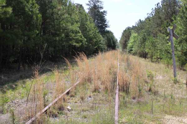
The Arkansas Overland Route - TrailHawk Loop - Section 15
Gravel and dirt roads that can be muddy and slick with possible ruts when wet. This is Section 15 of the Arkansas Overland Route. This section makes up the Hawks' beak when looking at this loop on the map. There are some nice straight sections on this trail. Watch for wildlife. This road goes to the...
Learn more about The Arkansas Overland Route - TrailHawk Loop - Section 15
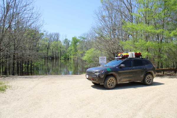
The Arkansas Overland Route - TrailHawk Loop - Section 16
The Arkansas Overland Route - TrailHawk Loop - Section 16 is an easy, scenic 7.2-mile corridor perfect for beginner offroaders and overlanders looking for a relaxed journey to a secluded lakeside retreat. Transitioning between gravel and pavement, this well-maintained corridor winds through a densel...
Learn more about The Arkansas Overland Route - TrailHawk Loop - Section 16
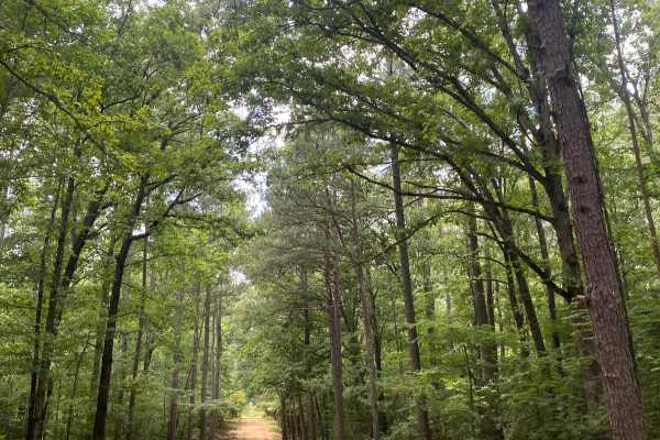
Potlach Road
This is a well-maintained dirt road with a few campsites along the way. This road leads through the Moro Big Pine WMA and there are several horseshoe lakes in the surrounding areas. It is very common to see wildlife such as hogs, turkeys, deer, and occasionally bears. This road can be very dusty dur...
Learn more about Potlach Road
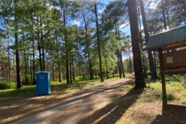
Champagnolle Creek Loop
The Champagnolle Creek Loop is a well-maintained dirt road with some uneven and rutted sections. While the road is easily passable during normal weather, the high river level makes the road impassable at times. Along this route, expect mild traffic, especially during prime fishing and hunting season...
Learn more about Champagnolle Creek Loop
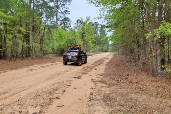
Primitive Camp and Shooting Range in Poison Springs WMA
White Oak State Park is a great place to stay while you explore the Poison Springs WMA. If you want full hookups and restrooms while you camp. While at White Oak State Park, ask the visitor center for a map to "The Little Grand Canyon." A must-see while in the area. You are close to the state park h...
Learn more about Primitive Camp and Shooting Range in Poison Springs WMA
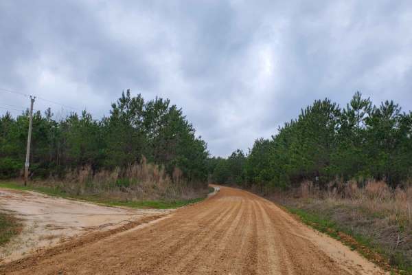
Highway 24 to Poison Springs WMA
This is a dirt and gravel road south of Highway 24. This road goes into the Poison Spring WMA. A camping permit is required and is free at the Poison Springs WMA website. This road can be slippery when wet. Some mild water crossings can be present during and after rains. Watch for wildlife crossing ...
Learn more about Highway 24 to Poison Springs WMA

Poison Springs WMA - Campsite C-10 to C-29 and C-54
This dirt and gravel road takes you to dispersed campsites within the Poison Springs WMA area. Camping permits are required and are free at Poison Springs WMA website. Roads can be slick, and water crossing can be found after rains. Watch for wildlife to cross roads. There are creeks in the area.
Learn more about Poison Springs WMA - Campsite C-10 to C-29 and C-54
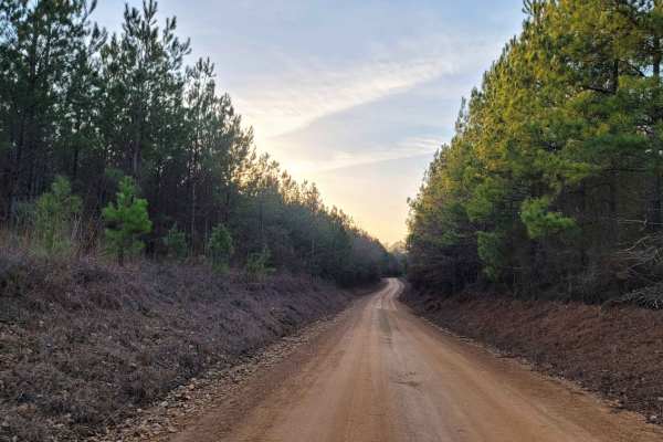
Country Route to White Oak Lake Group Campsite
This is a gravel and dirt road that leads to an awesome group campsite on White Oak Lake. A permit can be found online to camp in this free Poison Springs Forest. There are several campsites in this area. This particular campsite is on a hill right beside White Oak Lake. The later part of this route...
Learn more about Country Route to White Oak Lake Group Campsite
ATV trails near Warren, Arkansas
Explore ATV-friendly trails near you. These trails are accessible for vehicles up to 50 inches wide, perfect for ATVs and smaller off-road machines.
Potlach Road
This is a well-maintained dirt road with a few campsites along the way. This road leads through the Moro Big Pine WMA and there are several horseshoe lakes in the surrounding areas. It is very common to see wildlife such as hogs, turkeys, deer, and occasionally bears. This road can be very dusty dur...
Learn more about Potlach Road
Champagnolle Creek Loop
The Champagnolle Creek Loop is a well-maintained dirt road with some uneven and rutted sections. While the road is easily passable during normal weather, the high river level makes the road impassable at times. Along this route, expect mild traffic, especially during prime fishing and hunting season...
Learn more about Champagnolle Creek Loop
Country Route to White Oak Lake Group Campsite
This is a gravel and dirt road that leads to an awesome group campsite on White Oak Lake. A permit can be found online to camp in this free Poison Springs Forest. There are several campsites in this area. This particular campsite is on a hill right beside White Oak Lake. The later part of this route...
Learn more about Country Route to White Oak Lake Group Campsite
UTV/side-by-side trails near Warren, Arkansas
Find UTV and side-by-side trails near you. These trails accommodate vehicles up to 60 inches wide, ideal for UTVs, side-by-sides, and wider off-road rigs.
Potlach Road
This is a well-maintained dirt road with a few campsites along the way. This road leads through the Moro Big Pine WMA and there are several horseshoe lakes in the surrounding areas. It is very common to see wildlife such as hogs, turkeys, deer, and occasionally bears. This road can be very dusty dur...
Learn more about Potlach Road
Champagnolle Creek Loop
The Champagnolle Creek Loop is a well-maintained dirt road with some uneven and rutted sections. While the road is easily passable during normal weather, the high river level makes the road impassable at times. Along this route, expect mild traffic, especially during prime fishing and hunting season...
Learn more about Champagnolle Creek Loop
Country Route to White Oak Lake Group Campsite
This is a gravel and dirt road that leads to an awesome group campsite on White Oak Lake. A permit can be found online to camp in this free Poison Springs Forest. There are several campsites in this area. This particular campsite is on a hill right beside White Oak Lake. The later part of this route...
Learn more about Country Route to White Oak Lake Group Campsite
The onX Offroad Difference
onX Offroad combines trail photos, descriptions, difficulty ratings, width restrictions, seasonality, and more in a user-friendly interface. Available on all devices, with offline access and full compatibility with CarPlay and Android Auto. Discover what you're missing today!
Open Trail Map