
Dirt Bike Trails
Near Uniontown, Washington
Explore All Dirt Bike Trails Near Uniontown, Washington
Dirt Bike Trails Near Uniontown, Washington
Discover the best dirt bike trails near you. Browse trail maps, check difficulty ratings, and find your next adventure — whether you're looking for a quick ride or an all-day expedition.
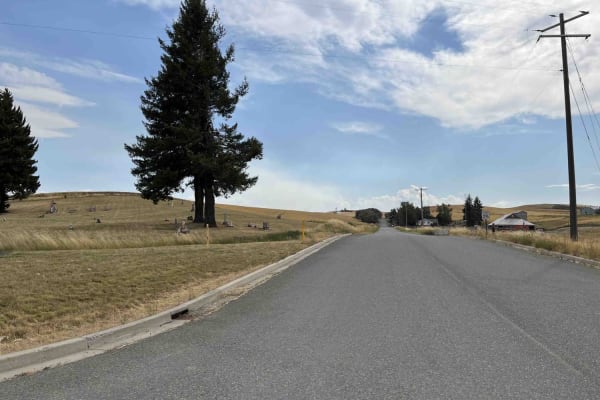
Rimrock Road
Rimrock Road is a point-to-point gravel road that skirts along the top of the Snake River Canyon. The trail is lined with private farmland on either side, so please be respectful when passing through. The road is well-maintained and two lanes wide for its entire length. Watch out for farm equipment ...
Learn more about Rimrock Road
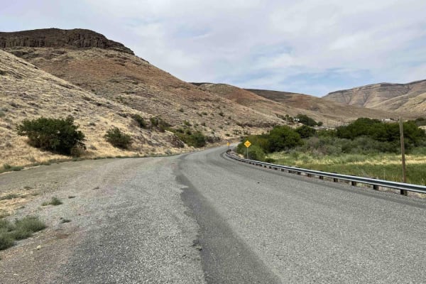
Steptoe Canyon Road
Steptoe Canyon Road is a point-to-point gravel road that climbs from the banks of the Snake River up to the Palouse plateau. The road is lined with private property on both sides, so please be respectful when on this trail. There are lots of blind corners as well, so be sure to stay to the right. Th...
Learn more about Steptoe Canyon Road
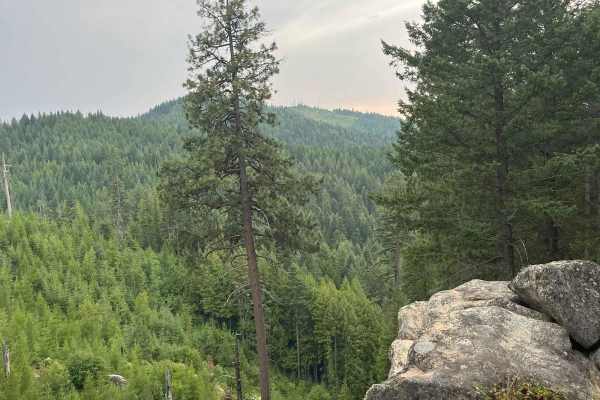
Moscow Mtn Road
This is a county road only open from June 1-November 7 to motorized traffic, with gates closed during winter. This route is from gate to gate over Moscow Mountain through the woods. There is parking just past the Moscow side gate. The road is nice but narrow in parts--lots of mountain biking, hiking...
Learn more about Moscow Mtn Road
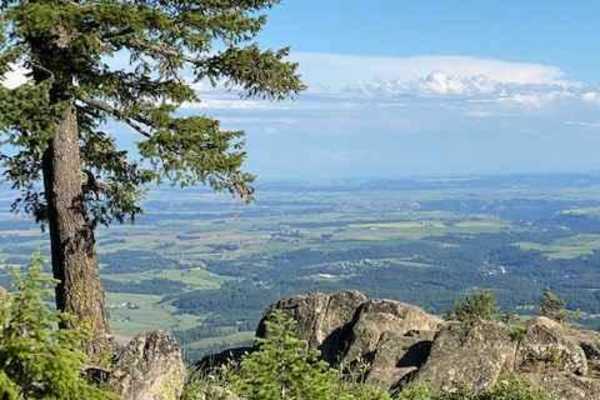
Moscow Mountain Lookout
This is a short but fun ride up to the Moscow Mountain lookout, which resides on the East Summit of Moscow Mountain. This trail is mostly dirt, with the first several hundred yards made up of large 2" gravel rock. This trail is relatively wide for a good portion before turning to a narrow two-track ...
Learn more about Moscow Mountain Lookout
Stevens Ridge
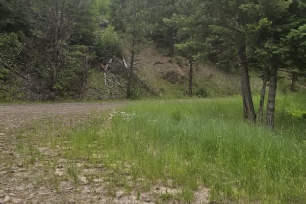
The trail consists of hard-packed dirt and gravel with no obstacles. It winds up Stevens Ridge through a forest of firs, pine trees, and wildflowers covering the hillside in early summer. You can spot wildlife in the area, such as deer, elk, and yellow-bellied marmots. It offers great views of the c...
Learn more about Stevens Ridge
Pataha Cable Road
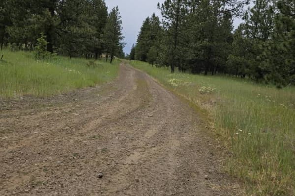
The trail takes you into a high alpine terrain, where you can look out over the valleys and meadows of the Umatilla National Forest. Wildlife is abundant, and there's a good chance of seeing deer or elk while driving on this trail. Wildflowers were blooming in early summer, and the sounds and smells...
Learn more about Pataha Cable Road
Pomeroy Grouse (National Forest Development RD 040) #1
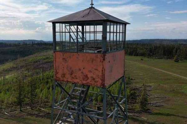
Pomeroy Grouse Trail is a well-maintained forest service road. It is approximately two cars wide and is relatively free of obstacles. If you have time along this trail, make sure to check out the varying natural springs not far off the trail. A few names include Schneckloth Spring, stents spring, an...
Learn more about Pomeroy Grouse (National Forest Development RD 040) #1
Wenatchee Big Butte
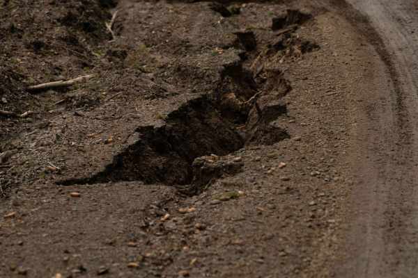
Wenatchee Big Butte is a 7-mile connection trail on the route to the Big Butte fire lookout. This is a well-groomed trail made mostly of compact dirt with the occasional loose gravel. This is approximately one vehicle wide. There are multiple pull-out and small offshoots, some of which were blocked ...
Learn more about Wenatchee Big Butte
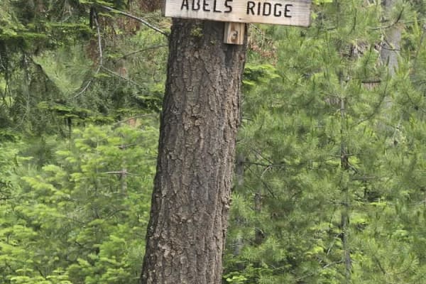
Ables Ridge
The trail is a hard-packed gravel and dirt road, wide enough for 1.5 vehicles with spots to pull over. We didn't see any other vehicles on this trail. The elevation at the top is 5,000 feet, and the views of the Blue Mountains, rolling hills, bunch grass, pine, and fir trees are wonderful. Sunsets a...
Learn more about Ables Ridge
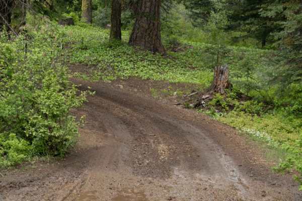
Big Butte Lookout
This is a 1-mile trail up to a big butte fire lookout. If you are driving a dirt bike/SxS, you are able to drive continually up to the lookout. If you are in an SUV or full-sized vehicle, it is advised you park at the fence line and walk the remaining way.
Learn more about Big Butte Lookout
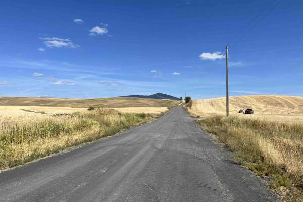
Gold Hill - FS 770
Gold Hill (FS 770) is a 5.6-mile, point-to-point trail that takes drivers from US Highway 95 up into the Gold Hill trail network. Gold Hill starts in rolling wheat fields and ends up in the hills at an intersection with Big Creek (FS 370). Coming from the west side, Gold Hill is a slow but steady cl...
Learn more about Gold Hill - FS 770
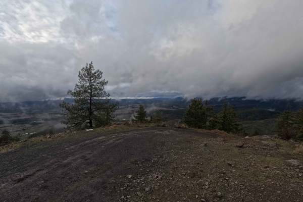
Potato Hill Road - Trail 783
Potato Hill Road is a 2-mile out-and-back trail ascending from Main Street in Deary to the summit of the officially named Potato Hill, locally known as Spud Hill, at an elevation of 4017 feet. The trail begins as a narrow gravel road and progressively transitions into a tight, rutted, and steep rout...
Learn more about Potato Hill Road - Trail 783
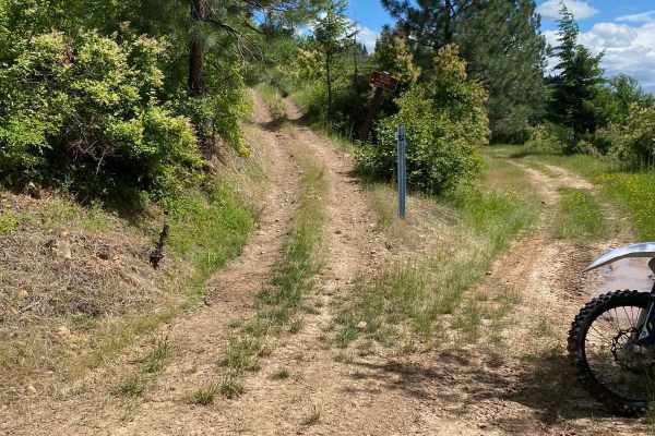
Mt. Margaret
The Mt. Margaret Trail is a short and at times intense trail that takes off from the west end of the flat creek trail before re-joining the flat creek trail to the east. The first third from the west side is all climbs and switchbacks/s-turns. Dirt bikers will have a lot of fun with the great banked...
Learn more about Mt. Margaret
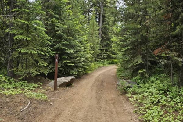
North to South Trail
This easy-going trail winds through the thick forest, there are no obstacles on this trail. Many offshoot trails can be accessed without having to backtrack. There were no riders on the trail, but it was very dusty. A bandana to keep down dust is recommended.
Learn more about North to South Trail
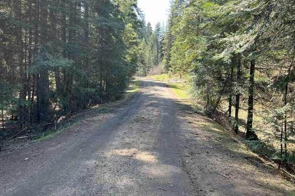
East Fork Big Bear Creek
This trail is just over 5 miles one way on an old logging road. One spot is a steeper narrow area. It's an overall easy ride with many additional trails off it. Gates on both sides are 50 inches wide or less. You'll travel on Forest Service 4707 East Fork Big Bear Creek. Expect water puddles if ridi...
Learn more about East Fork Big Bear Creek
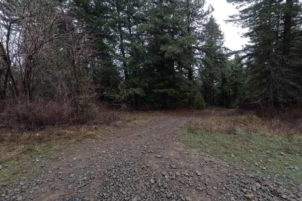
Potato Hill Connector
Potato Hill Connector is a 1.2-mile point-to-point trail connecting Potato Hill Road (Trail 783) with Brush Creek (Trail 289). Starting from the west, the trail begins as a narrow double-track before quickly becoming heavily rutted and off-camber. At 0.25 miles, a cattle guard with posts approximate...
Learn more about Potato Hill Connector
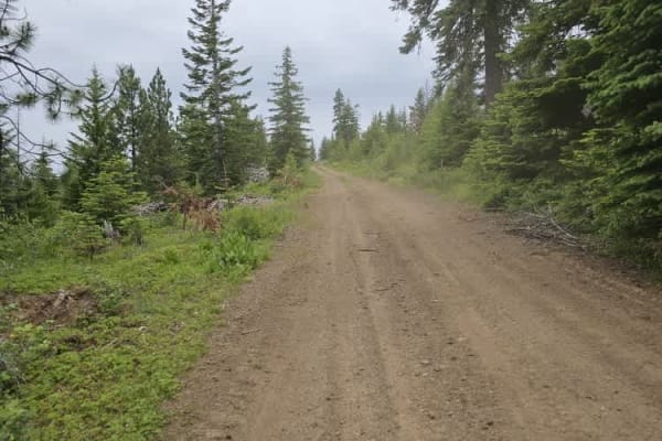
Beer Bowl
The trail winds through the Umatilla National Forest and includes a water feature known as Beer Bowl. If the water level is low enough, you can drive up to the top of the hill. There are wooden benches and a flat area where you can set up chairs to enjoy the view.
Learn more about Beer Bowl
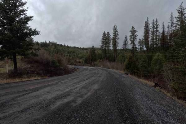
Brush Creek - Trail 289
Brush Creek is a 2.7-mile out-and-back gravel road following a creek of the same name. The route terminates at a gate with a 50-inch width restriction located just past a three-way intersection. The final section of the trail transitions from gravel to dirt, which becomes slick, soft mud in wet cond...
Learn more about Brush Creek - Trail 289
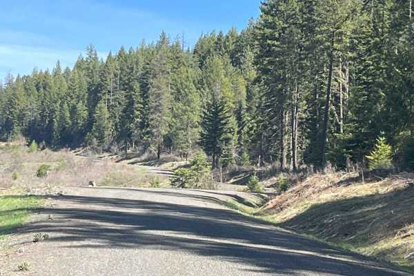
Cherry Butte Lower Road
This is an easy ride off the Brush Creek main road, around a gate that is 50 inches wide, maximum. The road past the gate is a logging road that winds through clear cuts. The road has runoff ridges along the way. This trail takes the lower road around Cherry Butte and dead-ends 5.6 miles up and back...
Learn more about Cherry Butte Lower Road
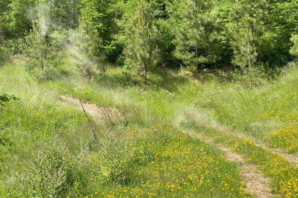
Ruby Creek C
This trail travels through an old clearcut and has a variety of level fast sections, water bars, and some really fun corners that drop in steep and bank back up pretty steeply where the trail crosses little drainages. Those sections can get a little off-camber so pick a good line through. The trail ...
Learn more about Ruby Creek C
ATV trails near Uniontown, Washington
Explore ATV-friendly trails near you. These trails are accessible for vehicles up to 50 inches wide, perfect for ATVs and smaller off-road machines.
Moscow Mtn Road
This is a county road only open from June 1-November 7 to motorized traffic, with gates closed during winter. This route is from gate to gate over Moscow Mountain through the woods. There is parking just past the Moscow side gate. The road is nice but narrow in parts--lots of mountain biking, hiking...
Learn more about Moscow Mtn Road
Moscow Mountain Lookout
This is a short but fun ride up to the Moscow Mountain lookout, which resides on the East Summit of Moscow Mountain. This trail is mostly dirt, with the first several hundred yards made up of large 2" gravel rock. This trail is relatively wide for a good portion before turning to a narrow two-track ...
Learn more about Moscow Mountain Lookout
Stevens Ridge
The trail consists of hard-packed dirt and gravel with no obstacles. It winds up Stevens Ridge through a forest of firs, pine trees, and wildflowers covering the hillside in early summer. You can spot wildlife in the area, such as deer, elk, and yellow-bellied marmots. It offers great views of the c...
Learn more about Stevens Ridge
Pataha Cable Road
The trail takes you into a high alpine terrain, where you can look out over the valleys and meadows of the Umatilla National Forest. Wildlife is abundant, and there's a good chance of seeing deer or elk while driving on this trail. Wildflowers were blooming in early summer, and the sounds and smells...
Learn more about Pataha Cable Road
UTV/side-by-side trails near Uniontown, Washington
Find UTV and side-by-side trails near you. These trails accommodate vehicles up to 60 inches wide, ideal for UTVs, side-by-sides, and wider off-road rigs.
Moscow Mtn Road
This is a county road only open from June 1-November 7 to motorized traffic, with gates closed during winter. This route is from gate to gate over Moscow Mountain through the woods. There is parking just past the Moscow side gate. The road is nice but narrow in parts--lots of mountain biking, hiking...
Learn more about Moscow Mtn Road
Moscow Mountain Lookout
This is a short but fun ride up to the Moscow Mountain lookout, which resides on the East Summit of Moscow Mountain. This trail is mostly dirt, with the first several hundred yards made up of large 2" gravel rock. This trail is relatively wide for a good portion before turning to a narrow two-track ...
Learn more about Moscow Mountain Lookout
Stevens Ridge
The trail consists of hard-packed dirt and gravel with no obstacles. It winds up Stevens Ridge through a forest of firs, pine trees, and wildflowers covering the hillside in early summer. You can spot wildlife in the area, such as deer, elk, and yellow-bellied marmots. It offers great views of the c...
Learn more about Stevens Ridge
Pataha Cable Road
The trail takes you into a high alpine terrain, where you can look out over the valleys and meadows of the Umatilla National Forest. Wildlife is abundant, and there's a good chance of seeing deer or elk while driving on this trail. Wildflowers were blooming in early summer, and the sounds and smells...
Learn more about Pataha Cable Road
The onX Offroad Difference
onX Offroad combines trail photos, descriptions, difficulty ratings, width restrictions, seasonality, and more in a user-friendly interface. Available on all devices, with offline access and full compatibility with CarPlay and Android Auto. Discover what you're missing today!
Open Trail Map