
Dirt Bike Trails
Near Tacoma, Virginia
Explore All Dirt Bike Trails Near Tacoma, Virginia
Dirt Bike Trails Near Tacoma, Virginia
Discover the best dirt bike trails near you. Browse trail maps, check difficulty ratings, and find your next adventure — whether you're looking for a quick ride or an all-day expedition.
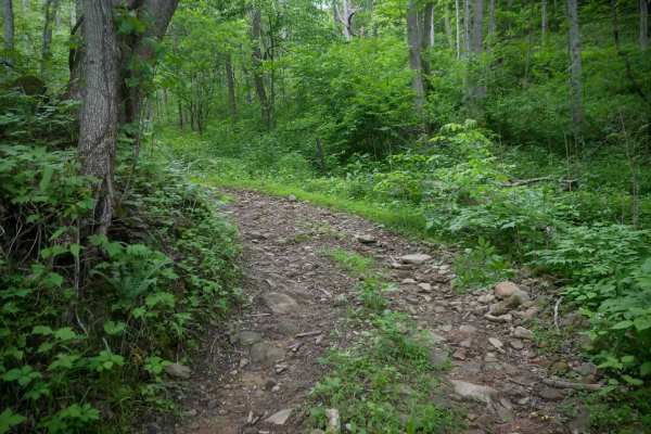
MV73
MV73 is a 1.2-mile moderate trail that winds through dense forest on a narrow, rocky dirt path. It descends steeply along a shelfy hillside with rutted, slightly off-camber sections and tight hairpin switchbacks. The trail drops to a lower, wetter forest floor with muddy areas and continued shelf ex...
Learn more about MV73
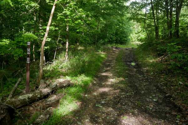
MV52
MV52 is a quarter-mile-long trail descending from 14 with a more technical surface. The trail is grassy and overgrown in sections, which can obscure larger loose rocks and deeper ruts, making obstacles harder to see. Drivers should proceed cautiously due to the hidden hazards along the descent. Expe...
Learn more about MV52
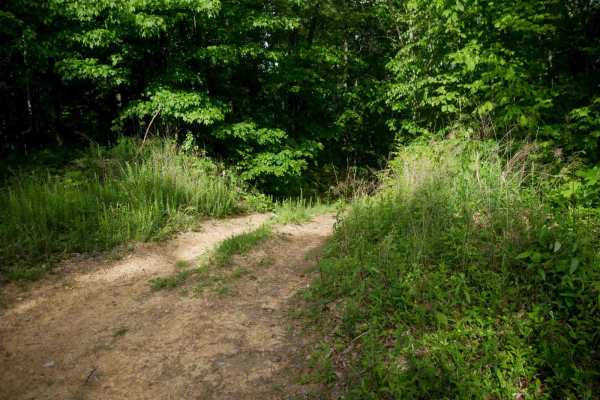
MV51
MV51 departs from MV52 and heads east along a ridge through dense forest, featuring ruts on a steep descent. At the intersection with MV54, it turns south and continues descending along an overgrown, grassy path. The trail is shelfy in places and reconnects with MV52. Though short, it presents moder...
Learn more about MV51
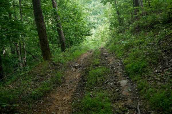
MV55
MV55 is a moderate trail with a steep, rutted climb from south to north that becomes challenging when wet due to traction loss. The route features deep ruts, larger loose rocks, roots, and debris, with grassy and overgrown sections. Near the top, embedded rock layers form small ledges under a foot t...
Learn more about MV55
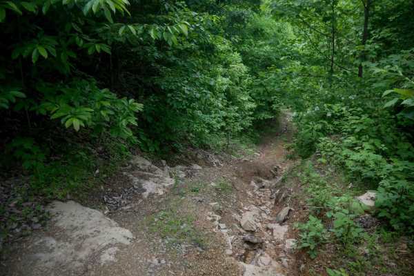
MV56
MV56 is a short trail less than half a mile long, offering a steep, rutted descent from the south end with uneven embedded layers of rock that make it more technical than the surrounding routes. Loose rocks within the ruts and tight hairpin turns add to the challenge. This moderate trail is better s...
Learn more about MV56
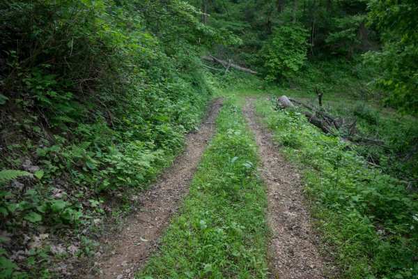
MV53
MV53 features a steep climb from north to south with small loose rocks and leaf decay that can become slick when wet. Drivers should watch for downed logs and branches along the route. The trail ascends through dense forest and meets MV51 at a sharp hairpin turn, presenting moderate difficulty overa...
Learn more about MV53
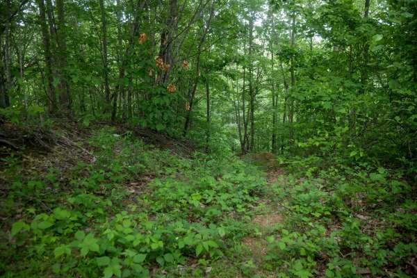
MV54
MV54 is a short 215 yard long loop off MV51 that descends steeply through very overgrown and faint sections. The trail includes narrow, off-camber areas, and then climbs back up to complete the loop. Despite its brief length, the rutted and uneven terrain presents moderate difficulty with some techn...
Learn more about MV54
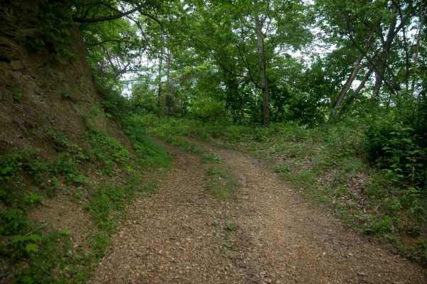
MV14
MV14 is an easy trail that follows a wide shelf path along the edge of a hill through dense Appalachian forest. The terrain includes roots, decomposing soil, and leaf decay, with occasional muddy ruts and puddles but no significant obstacles. The trail passes alongside scenic tall rock walls and end...
Learn more about MV14
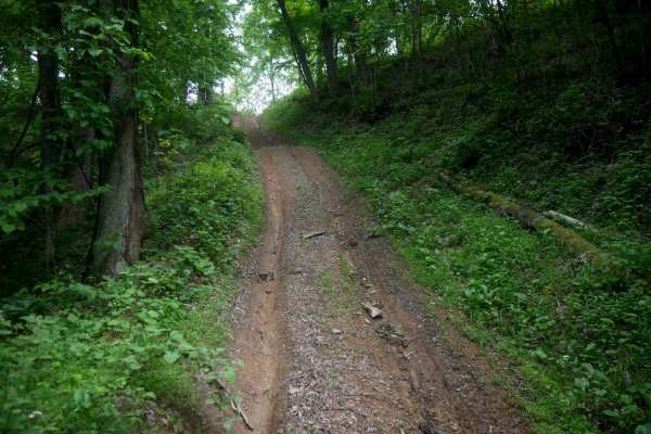
MV78
MV78 is a short 175-yard connector trail linking MV73 and MV14. Despite its length, it is semi-technical due to deep ruts running along both sides and a steep hill climb when traveling north to south. The trail passes through dense forest and includes small loose rocks, leaf decay, sticks, and debri...
Learn more about MV78
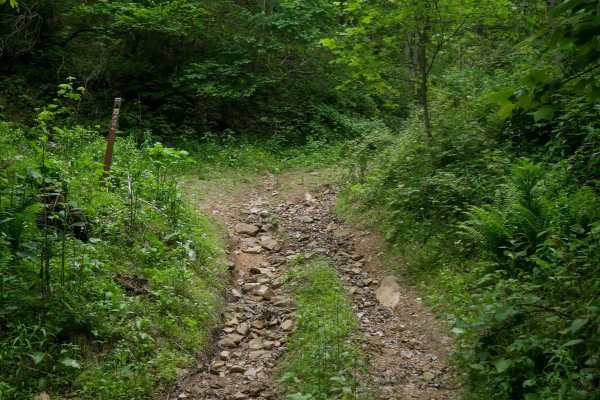
MV75
MV75 is a 0.8-mile easy trail that forms a loop with MV78. It features a wide, shelfy path with consistent mud and ruts, along with a few minor rocky sections that add some variety. The terrain is mostly smooth and manageable, making it suitable for drivers of most skill levels, although it is surro...
Learn more about MV75
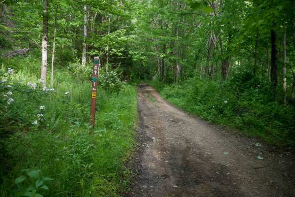
MV4
MV4 is a nearly 3-mile-long trail running through the center of the Mountain View trail system. It is a wide, easy route with scattered loose and embedded rocks, along with occasional mud puddles. The terrain is mostly flat with gradual elevation changes. MV4 begins at MV1, passes the more difficult...
Learn more about MV4
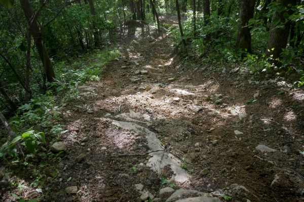
MV3
MV3 is a short quarter-mile connector between MV4 and MV1, beginning with a steep, deeply rutted incline from the west. The trail climbs a shelf path with tight turns up a hillside to a ridge, featuring more loose rock and embedded rock layers than nearby trails, making it moderately difficult. It b...
Learn more about MV3
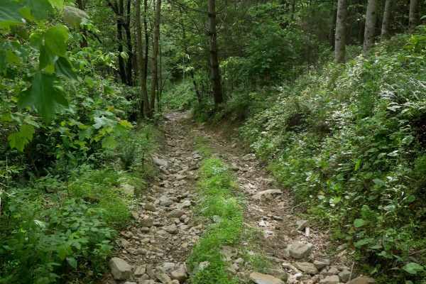
MV13
MV13 is a moderate offshoot from MV1, offering a mix of flat, wide terrain and semi-steep grades. The trail includes embedded rocks and mud puddles throughout. Near the west end, it splits into two paths: the northern route is rated most difficult, while the southern split remains moderate, featurin...
Learn more about MV13
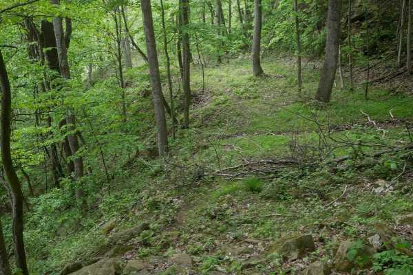
MV80
MV80 is a challenging and scenic trail that runs through dense forest with wide sections, loose rocks, and frequent large puddles. Drivers pass giant boulders and scenic hillsides, and swampy puddles sometimes flood the entire trail width. In the middle of the route, it looks like it dead ends, but ...
Learn more about MV80
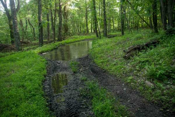
MV12
MV12 is a 1.8-mile trail that runs parallel to MV1, beginning under the powerlines and following a shelf along the hillside. It features small loose rock, big mud puddles, and muddy ruts, with gradual elevation changes as it goes up and over small hills. The trail is generally easy and passes alongs...
Learn more about MV12

MV21
MV21 is a short, easy spur trail off MV8 that connects the Mountain View system to State Route 650. Less than half a mile long, the trail follows a wide path with a couple of gradual switchbacks along a shelf cut into the hillside. Expect small loose rock but no significant obstacles. This is an alt...
Learn more about MV21
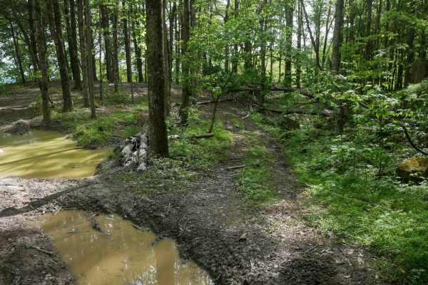
MV16
MV16 is a fairly easy trail that runs through dense scenic forest and features a spine along a hill. The trail is relatively wide and includes sections with loose rock, roots, and sticks, along with occasional large mud puddles. It has a short bailout to State Route 650, and also parallels 650 for a...
Learn more about MV16
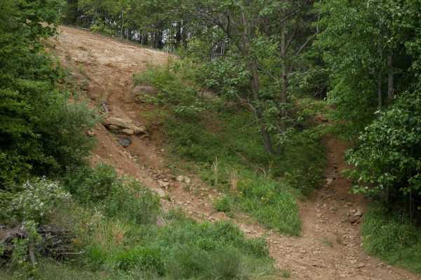
MV69
MV69 is a short but technical connector between MV5 and MV10, offering a challenging route. The west end begins narrow and passes a large mud pit beneath the overlook on MV10. Then it has a steep, highly technical climb with embedded rock layers and ledges to connect to MV 10. The climb is wide, pr...
Learn more about MV69

MV6
MV6 is a 1.1-mile trail with a wide path and generally easy terrain, making it a good option for beginners. The trail features small embedded and loose rocks, muddy patches, and uneven ground, but maintains gradual grades and broad sweeping corners throughout. It's located near MV5 and MV22, which c...
Learn more about MV6
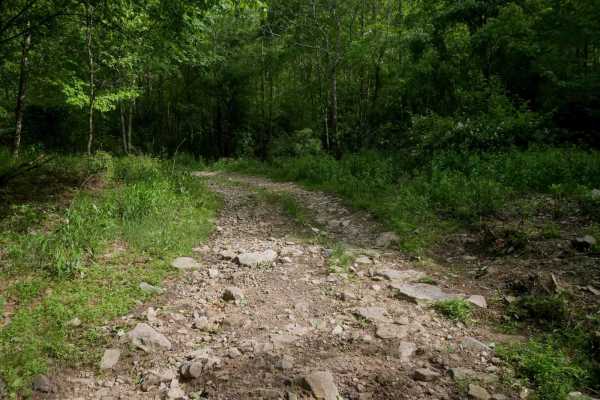
MV18
MV18 is a 0.7-mile moderate trail that curves along the mountainside on a shelfy path with steep grades and abundant loose rock. It passes scenic rock walls and offers a connection from the intersection of MV6, 7, and 8 to MV5. The north end also provides access to single-track 929.
Learn more about MV18
ATV trails near Tacoma, Virginia
Explore ATV-friendly trails near you. These trails are accessible for vehicles up to 50 inches wide, perfect for ATVs and smaller off-road machines.
MV73
MV73 is a 1.2-mile moderate trail that winds through dense forest on a narrow, rocky dirt path. It descends steeply along a shelfy hillside with rutted, slightly off-camber sections and tight hairpin switchbacks. The trail drops to a lower, wetter forest floor with muddy areas and continued shelf ex...
Learn more about MV73
MV52
MV52 is a quarter-mile-long trail descending from 14 with a more technical surface. The trail is grassy and overgrown in sections, which can obscure larger loose rocks and deeper ruts, making obstacles harder to see. Drivers should proceed cautiously due to the hidden hazards along the descent. Expe...
Learn more about MV52
MV51
MV51 departs from MV52 and heads east along a ridge through dense forest, featuring ruts on a steep descent. At the intersection with MV54, it turns south and continues descending along an overgrown, grassy path. The trail is shelfy in places and reconnects with MV52. Though short, it presents moder...
Learn more about MV51
MV55
MV55 is a moderate trail with a steep, rutted climb from south to north that becomes challenging when wet due to traction loss. The route features deep ruts, larger loose rocks, roots, and debris, with grassy and overgrown sections. Near the top, embedded rock layers form small ledges under a foot t...
Learn more about MV55
UTV/side-by-side trails near Tacoma, Virginia
Find UTV and side-by-side trails near you. These trails accommodate vehicles up to 60 inches wide, ideal for UTVs, side-by-sides, and wider off-road rigs.
MV73
MV73 is a 1.2-mile moderate trail that winds through dense forest on a narrow, rocky dirt path. It descends steeply along a shelfy hillside with rutted, slightly off-camber sections and tight hairpin switchbacks. The trail drops to a lower, wetter forest floor with muddy areas and continued shelf ex...
Learn more about MV73
MV52
MV52 is a quarter-mile-long trail descending from 14 with a more technical surface. The trail is grassy and overgrown in sections, which can obscure larger loose rocks and deeper ruts, making obstacles harder to see. Drivers should proceed cautiously due to the hidden hazards along the descent. Expe...
Learn more about MV52
MV51
MV51 departs from MV52 and heads east along a ridge through dense forest, featuring ruts on a steep descent. At the intersection with MV54, it turns south and continues descending along an overgrown, grassy path. The trail is shelfy in places and reconnects with MV52. Though short, it presents moder...
Learn more about MV51
MV55
MV55 is a moderate trail with a steep, rutted climb from south to north that becomes challenging when wet due to traction loss. The route features deep ruts, larger loose rocks, roots, and debris, with grassy and overgrown sections. Near the top, embedded rock layers form small ledges under a foot t...
Learn more about MV55
The onX Offroad Difference
onX Offroad combines trail photos, descriptions, difficulty ratings, width restrictions, seasonality, and more in a user-friendly interface. Available on all devices, with offline access and full compatibility with CarPlay and Android Auto. Discover what you're missing today!
Open Trail Map