
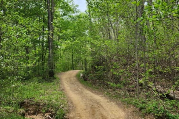
Dirt Bike Trails
Near Sardis, Kentucky
Explore All Dirt Bike Trails Near Sardis, Kentucky
Dirt Bike Trails Near Sardis, Kentucky
Discover the best dirt bike trails near you. Browse trail maps, check difficulty ratings, and find your next adventure — whether you're looking for a quick ride or an all-day expedition.

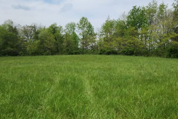
Trail 88
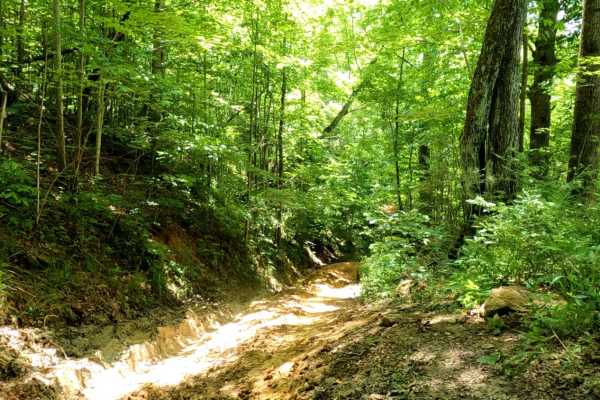
Trail 88 offers a slight challenge with a couple of tight turns and steep climbs. The lower entrance to Trail 88 begins close the Briery Creek. At this entrance, you find a large open area which in previous years was a hunting campsite. Do not enter any structures on site.
Learn more about Trail 88

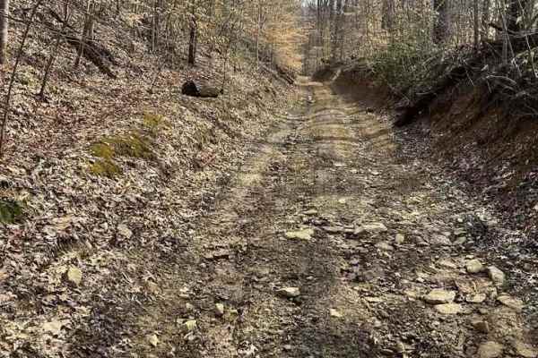
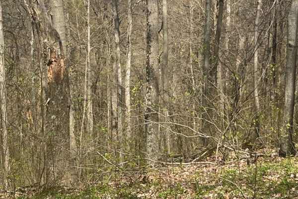
Trail 85
This is a rocky and technical Trail. The lower entrance is Close to Briery Creek. The Top entrance is connected to Green Trail 5. Trail 85 offers a challenge without a lot of risk, Slick Rocks and washouts are the obstacles you will encounter along the way. Only one steep hill climb out of the valle...
Learn more about Trail 85
Trail 34
Trail 34 is otherwise known as Old Tar Fork Road. This was a log truck route at one time. This route will take you to the hill named "Larry's Lip" which will connect you back to the Briery Creek Road Area. Close to Trail 88 and the Briery Creek Mudholes.
Learn more about Trail 34
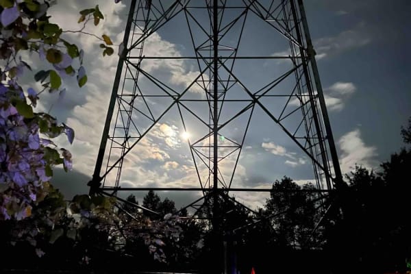
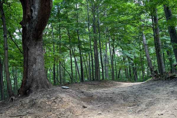
Trail 2 - High Ground
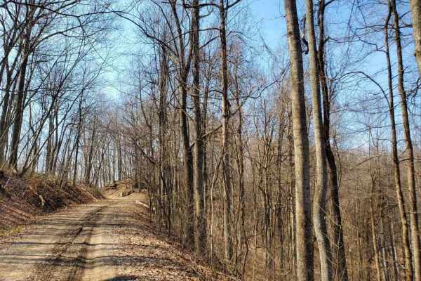
Start or end at the Abandon Communication Tower. The trail follows ridge tops the entire trail. There are tight sections, but they are passable in full-size vehicles. The trail stays dry 90% of the year and is suitable for all ages. The trail has some spur ridge lines off it for future trail expansi...
Learn more about Trail 2 - High Ground
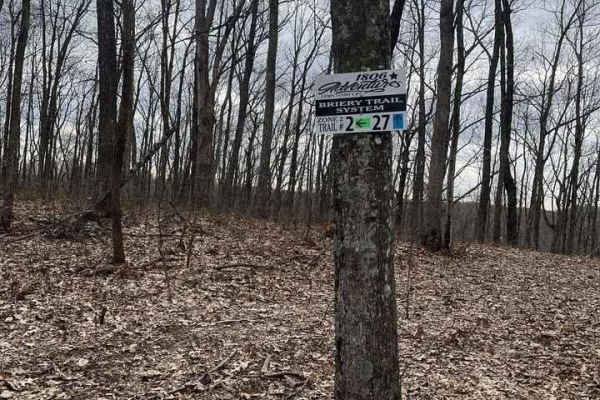
Trail 27
This Route is the "wetter" alternative ride to and from the abandoned tower. You will find that most of this trail consists of low-lying ground. The trail consists of solid ground for the most part and a few slightly technical sections. This is the cool (Temperature) ride during the hotter summer mo...
Learn more about Trail 27
Tobe Lewis Road
This is an offroad paradise for people who want to enjoy nature but don't have built rigs. The trail will give you off-camber ruts through mudholes as well as rocky hill climbs with great views of the outskirts of the Shawnee State Forest. Do not attempt this in a 2WD vehicle or a truck that does no...
Learn more about Tobe Lewis Road
Mouth Hollow Road
This is an easy scenic trail that passes through a meadow on the outskirts of the Shawnee State Forest. This trail is easily passable by any high-clearance vehicle; there are few ruts/obstacles to get through or around. It is just a mellow, slow-paced trail to enjoy nature.
Learn more about Mouth Hollow Road
Morrell Hollow
A mixture of mud and off-camber areas with some steep rocky climbs, this trail will test the typical factory-built rig. It starts near an old hunting cabin and continues into the forest past an old cemetery. It is a great trail, however, about halfway down, it is blocked due to tornado damage. There...
Learn more about Morrell Hollow
Potter's Hollow
First and foremost, I recommend downloading offline maps prior to any excursion however especially for this area. There is no cell service for about 5 miles out in any direction near this assortment of trails. Overall its a fairly easy trail, some narrow parts that will give you some pin-striping an...
Learn more about Potter's Hollow
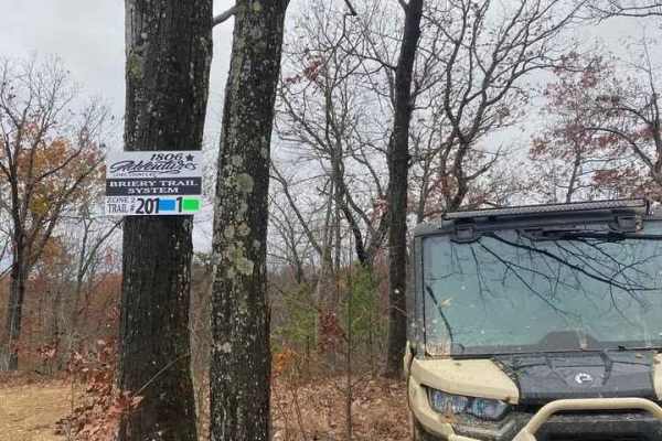
Trail 202
Trail 202 is a spur off of Trail 201. The trail follows a ridge line and then gradually drops to a bottom. Traveling the bottom you may encounter a few wetter spots during the spring and winter months. A short climb out of the bottom brings you to an intersecting trail that continues straight throug...
Learn more about Trail 202
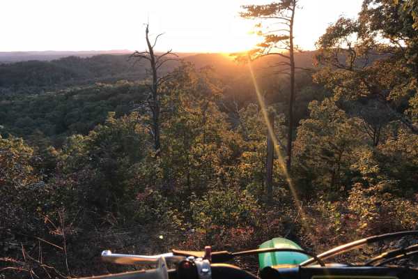
Trail 1 - Tower Ride
Trail 1 will start at the Straight Fork Parking area and ends in "Deep Hole Hollow." This Trail is well maintained and once on the ridge top, it is smooth and easy riding. Be sure to make the hard right at the 201 Trail intersection if you wish to continue on Trail 1. The Trail offers towering views...
Learn more about Trail 1 - Tower Ride
Trail 201 - Straight Fork Long Loop
The trail starts near 1806 Adventures Parking Area off Straight Fork Road. The trail begins with a short but fairly steep climb to the ridge line. The trail surface consists of mainly hard pack with some loose rock, great views of the surrounding land from the top of the RidgesEnds with the Connecti...
Learn more about Trail 201 - Straight Fork Long Loop

Sunshine Ridge Road
The trail starts easy, however, once you cross over Blue Creek Road, the trail climbs up a hill and can be slick during and or after some rain. Once on the top, it levels out for a bit until you come to some mud holes. These are about 2 feet deep but have solid bottoms. Continue on the trail until y...
Learn more about Sunshine Ridge Road
White Sulphur ATV Loop to Overlook
White Sulphur OHV Trail System is composed of several Forest Service roads and trails in the White Sulphur area, forming a 17-mile trail system of connecting loops. It is located near Cave Run Lake in the Cumberland Ranger District. The trail is located in moderately rugged terrain, primarily follow...
Learn more about White Sulphur ATV Loop to Overlook
Wayne Benson Road
A gorgeous trail with a mix of varying terrain types. Gravel, dirt, and mud will all be experienced. Most of the trail is easy with a moderate section of ruts and off camber. Make sure to bring recovery gear. This is a high clearance trail. Very lush foliage with lots of wild ferns line the trail. S...
Learn more about Wayne Benson Road
Amos Cut
Nice, easy gravel road, following an abandoned railroad. It offers views of the valley below and an operational rock quarry across the way. This road is an abandoned rail bed from the days when the Red River Gorge was being logged. There are no obstacles along this route in typical conditions, but o...
Learn more about Amos Cut
Cold Iron Fork Road
This is an easy trail with a couple moderate sections. Not recommended when conditions are wet, as it can become very slick and rutted. The trail has lots of character with wild roses and plenty of trees. High clearance and recovery gear are necessary for the more difficult sections. Other trails i...
Learn more about Cold Iron Fork Road
June Bug
Easy gravel drive on a semi-maintained Forest Service road. No destination, just out and back. Offers views of the valley below and geological formations to explore. seen two cave entrances. There is an abandoned cabin that sits off down in the valley below. Great trail for someone looking for a saf...
Learn more about June Bug
Bowen Service Road
Gravel service road for Bowen, Kentucky, that runs along the Mountain Parkway. This trail is out-and-back only, no thruway traffic. Ends at a farmer's field, which is closed off by a gate. It provides views of farmland and the Mountain Parkway along the way, with only a couple of shallow mudholes.
Learn more about Bowen Service Road
Spaas Creek
Spaas Creek is a wonderful 6-mile creek ride east of Winchester. It is located inside the Daniel Boone National Forest and is a short distance from many other rides in the area. The northern trailhead is the most difficult part of the trail. There are several water crossings and boulder obstacles on...
Learn more about Spaas Creek
ATV trails near Sardis, Kentucky
Explore ATV-friendly trails near you. These trails are accessible for vehicles up to 50 inches wide, perfect for ATVs and smaller off-road machines.
Trail 88
Trail 88 offers a slight challenge with a couple of tight turns and steep climbs. The lower entrance to Trail 88 begins close the Briery Creek. At this entrance, you find a large open area which in previous years was a hunting campsite. Do not enter any structures on site.
Learn more about Trail 88
Trail 85
This is a rocky and technical Trail. The lower entrance is Close to Briery Creek. The Top entrance is connected to Green Trail 5. Trail 85 offers a challenge without a lot of risk, Slick Rocks and washouts are the obstacles you will encounter along the way. Only one steep hill climb out of the valle...
Learn more about Trail 85
Trail 34
Trail 34 is otherwise known as Old Tar Fork Road. This was a log truck route at one time. This route will take you to the hill named "Larry's Lip" which will connect you back to the Briery Creek Road Area. Close to Trail 88 and the Briery Creek Mudholes.
Learn more about Trail 34
Trail 2 - High Ground
Start or end at the Abandon Communication Tower. The trail follows ridge tops the entire trail. There are tight sections, but they are passable in full-size vehicles. The trail stays dry 90% of the year and is suitable for all ages. The trail has some spur ridge lines off it for future trail expansi...
Learn more about Trail 2 - High Ground
UTV/side-by-side trails near Sardis, Kentucky
Find UTV and side-by-side trails near you. These trails accommodate vehicles up to 60 inches wide, ideal for UTVs, side-by-sides, and wider off-road rigs.
Trail 88
Trail 88 offers a slight challenge with a couple of tight turns and steep climbs. The lower entrance to Trail 88 begins close the Briery Creek. At this entrance, you find a large open area which in previous years was a hunting campsite. Do not enter any structures on site.
Learn more about Trail 88
Trail 85
This is a rocky and technical Trail. The lower entrance is Close to Briery Creek. The Top entrance is connected to Green Trail 5. Trail 85 offers a challenge without a lot of risk, Slick Rocks and washouts are the obstacles you will encounter along the way. Only one steep hill climb out of the valle...
Learn more about Trail 85
Trail 34
Trail 34 is otherwise known as Old Tar Fork Road. This was a log truck route at one time. This route will take you to the hill named "Larry's Lip" which will connect you back to the Briery Creek Road Area. Close to Trail 88 and the Briery Creek Mudholes.
Learn more about Trail 34
Trail 2 - High Ground
Start or end at the Abandon Communication Tower. The trail follows ridge tops the entire trail. There are tight sections, but they are passable in full-size vehicles. The trail stays dry 90% of the year and is suitable for all ages. The trail has some spur ridge lines off it for future trail expansi...
Learn more about Trail 2 - High Ground
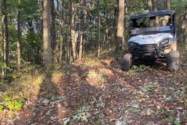
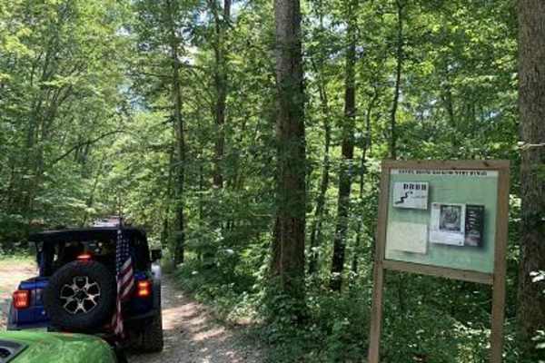
The onX Offroad Difference
onX Offroad combines trail photos, descriptions, difficulty ratings, width restrictions, seasonality, and more in a user-friendly interface. Available on all devices, with offline access and full compatibility with CarPlay and Android Auto. Discover what you're missing today!
Open Trail Map