
Dirt Bike Trails
Near Royal Palm Estates, Florida
Explore All Dirt Bike Trails Near Royal Palm Estates, Florida
Dirt Bike Trails Near Royal Palm Estates, Florida
Discover the best dirt bike trails near you. Browse trail maps, check difficulty ratings, and find your next adventure — whether you're looking for a quick ride or an all-day expedition.
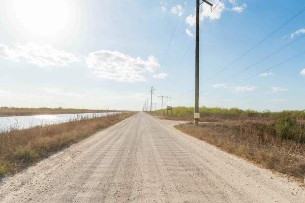
North Miami Canal Connect
North Miami Trail Connect runs along a canal corridor and leads to a public boat ramp. The surface is primarily dirt and sand and can become muddy in low-lying sections, especially after rain. Conditions vary depending on recent weather. The route follows the waterway closely and provides access to ...
Learn more about North Miami Canal Connect
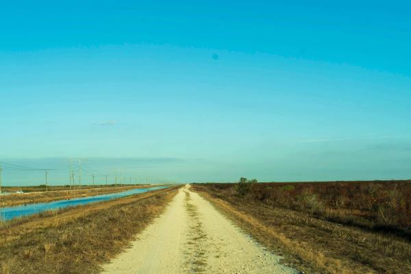
South Miami Canal Connect
South Miami Canal Connect just north of the Everglades Wildlife Management Area, which runs along a canal with a hardpack dirt and sand surface mixed with scattered rocks. Grass lines the lower sections near the water, and the opposite side includes open access commonly used by ATVs, SxS, and buggie...
Learn more about South Miami Canal Connect

East Miami Canal
The East Miami Canal runs east of the main canal corridor and leads directly to a public boat ramp. The surface consists primarily of hardpack dirt and sand with scattered rocks, and multiple narrow one-lane roads branch off to connect different sections of the area. These side roads create a networ...
Learn more about East Miami Canal
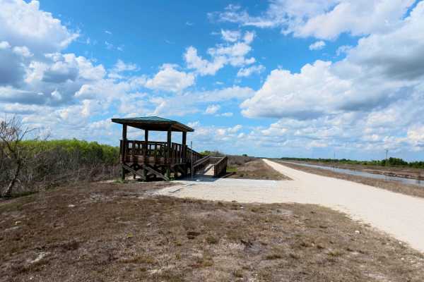
Rotenberger Perimeter Trail
The Rotenberger Perimeter Trail offers a scenic and rugged outline around the conservation area, defined by a narrow track that frequently develops heavy washboards and requires a steady pace. This trail is a premier destination for wildlife viewing and fishing, featuring a dedicated overlook statio...
Learn more about Rotenberger Perimeter Trail
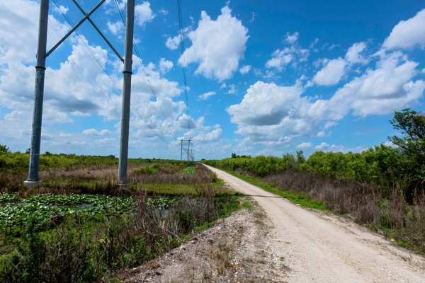
West Upper Miami Canal Connect
The West Upper Miami Canal Connect runs west of the main canal corridor, a surface of hardpack dirt, sand, and scattered rocks. While the main path is generally firm in dry weather, it transitions into a network of multiple narrow, one-lane roads that require careful navigation due to very limited p...
Learn more about West Upper Miami Canal Connect
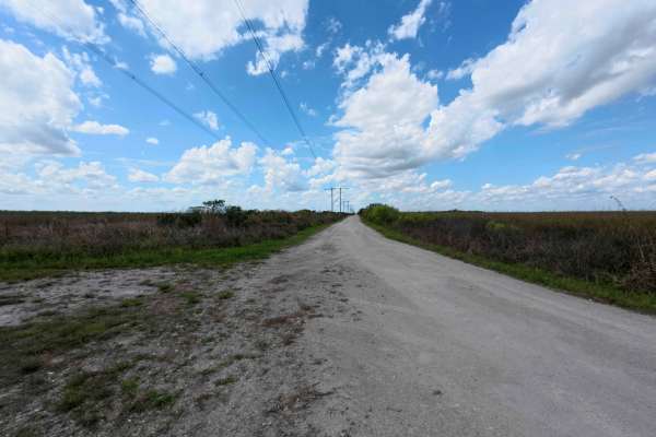
Upper West Extention Miami Canal Connect
The West Upper Extension Miami Canal Connect runs east of the main canal corridor, a surface of hardpack dirt, sand, and scattered rocks. While the main path is generally firm in dry weather, it transitions into a network of multiple narrow, one-lane roads that require careful navigation due to very...
Learn more about Upper West Extention Miami Canal Connect
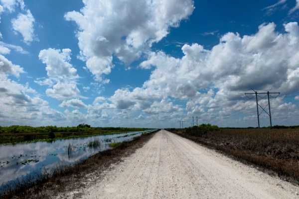
Lower West Miami Canal Connect
Gemini said
The Lower West Miami Canal Connect runs east of the main canal corridor, providing a direct route to a public boat ramp across a surface of hardpack dirt, sand, and scattered rocks. While the main path is generally firm in dry weather, it transitions into a network of multiple narrow, ...
Learn more about Lower West Miami Canal Connect
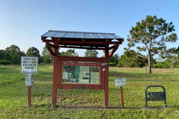
Bluefield Ranch Preserve
This is a flat, graded gravel and dirt road that leads to the Bluefield Ranch Preserve. The trail receives regular maintenance in the form of grading as the trail not only serves the Preservation area, but also the adjacent and surrounding cattle ranches and farms. This is a very scenic ride, and th...
Learn more about Bluefield Ranch Preserve
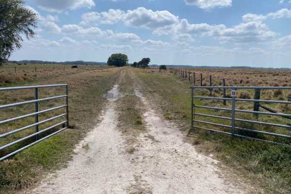
Road 10
This trail is located within the Dinner Island Ranch Wildlife Management Area (WMA). The trail features a gate at the northern trailhead that must be manually opened and closed. There may be cattle actively on the road, so exercise care to ensure cattle remain behind gates and the gates are securely...
Learn more about Road 10
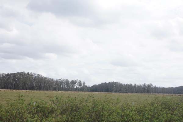
Road 10 Continuation
Dinner Island Ranch WMA is known for its relatively gentle terrain mixed with a few fun challenges. You’ll find a blend of grassy trails, some sandy patches, and a few mildly muddy areas if there’s been recent rain. It's not super rocky or extremely technical, so it’s a great spot for a laid-back ov...
Learn more about Road 10 Continuation

Tamiami Trails
This trail contains fun for the Overlanding crowd and the hardcore off-roaders most of it is flat but some difficult muddy sections can't be passed by inexperienced drivers. The conditions change often based on weather and can be very. muddy. We recommend you find strong anchor points to winch off o...
Learn more about Tamiami Trails
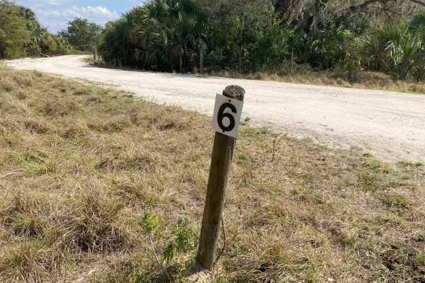
Road 6
This trail is located within the Dinner Island Ranch Wildlife Management Area (WMA). The trail is an unimproved dirt and mud trail through upland flatwood areas, edges of marsh, or cattle grazing areas. The road may be unpassable to low clearance or 2WD vehicles. Following rains or storms trails can...
Learn more about Road 6
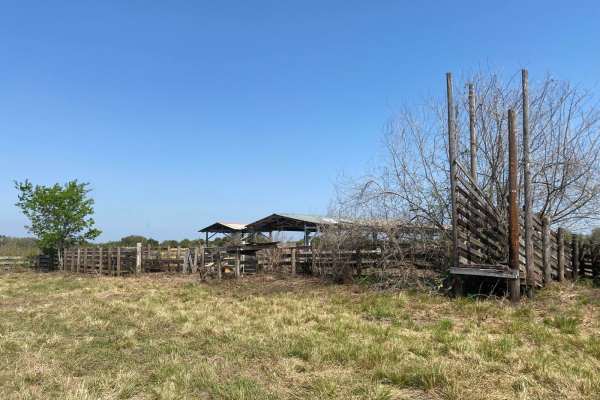
Spoonbill Pass
This trail is located within the Okaloacoochee Slough and Wildlife Management Area (WMA). The trail leads southeasterly through the eastern side of Okaloacoochee Slough State Forest. There are a variety of pine/oak Hammocks and wetland/marsh areas the trail leads through. Spoonbill Pass may have a f...
Learn more about Spoonbill Pass
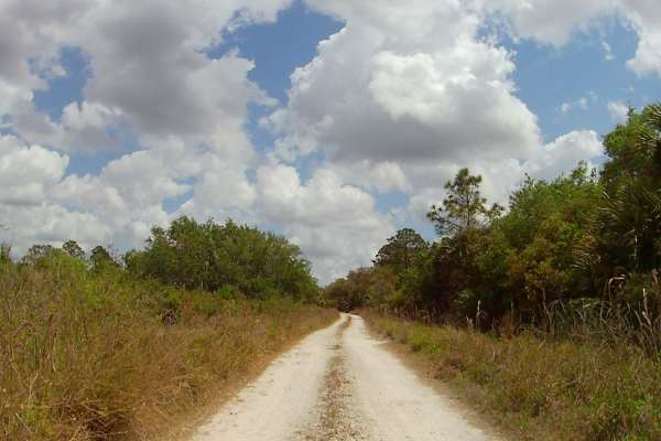
4 Sections Road
This trail is located within the Okaloacoochee Slough and Wildlife Management Area (WMA). This trail and WMA are open to public recreational access year-round. Although access is open year-round, access is limited to only registered motor vehicles. Using airboats, all-terrain vehicles, recreational ...
Learn more about 4 Sections Road
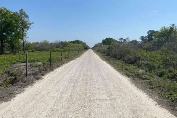
Otter Grade
This trail is located within the Okaloacoochee Slough and Wildlife Management Area (WMA). The trail leads through the eastern side of Okaloacoochee Slough State Forest, where there are a variety of pine/oak Hammocks and wetland/marsh areas. Otter Grade can be narrow and limited to one vehicle passab...
Learn more about Otter Grade
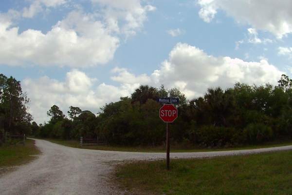
Mustang Loop
The trail leads through the Okaloacoochee Slough State Forest, where there are a variety of pine/oak Hammocks and wetland/marsh areas. The trail is single vehicle wide in most areas, expect some minor or light pin striping. Areas to pull-off for passing may be in soft sticky mud or deep loose sand. ...
Learn more about Mustang Loop
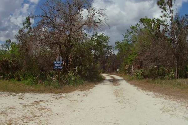
Patterson-Wildcow Crossover
This trail is located within the Okaloacoochee Slough and Wildlife Management Area (WMA). This trail and WMA are open to public recreational access year-round. Although access is open year-round, access is limited to only registered motor vehicles. The use of airboats, all-terrain vehicles, recreati...
Learn more about Patterson-Wildcow Crossover
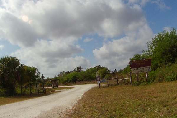
Wildcow Grade
This trail is located within the Okaloacoochee Slough and Wildlife Management Area (WMA). This trail and WMA is open to public recreational access year-round. Although access is open year around, access is limited to only registered motor vehicles. The use of airboats, all-terrain vehicles, recreati...
Learn more about Wildcow Grade
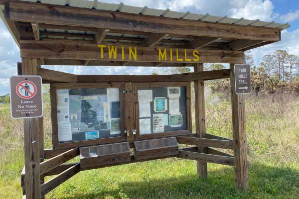
Twin Mills Grade
This trail is located within the Okaloacoochee Slough and Wildlife Management Area (WMA). This trail and WMA are open to public recreational access year-round. Although access is open year-round, access is limited to only registered motor vehicles. Using airboats, all-terrain vehicles, recreational ...
Learn more about Twin Mills Grade
ATV trails near Royal Palm Estates, Florida
Explore ATV-friendly trails near you. These trails are accessible for vehicles up to 50 inches wide, perfect for ATVs and smaller off-road machines.
North Miami Canal Connect
North Miami Trail Connect runs along a canal corridor and leads to a public boat ramp. The surface is primarily dirt and sand and can become muddy in low-lying sections, especially after rain. Conditions vary depending on recent weather. The route follows the waterway closely and provides access to ...
Learn more about North Miami Canal Connect
South Miami Canal Connect
South Miami Canal Connect just north of the Everglades Wildlife Management Area, which runs along a canal with a hardpack dirt and sand surface mixed with scattered rocks. Grass lines the lower sections near the water, and the opposite side includes open access commonly used by ATVs, SxS, and buggie...
Learn more about South Miami Canal Connect
East Miami Canal
The East Miami Canal runs east of the main canal corridor and leads directly to a public boat ramp. The surface consists primarily of hardpack dirt and sand with scattered rocks, and multiple narrow one-lane roads branch off to connect different sections of the area. These side roads create a networ...
Learn more about East Miami Canal
Rotenberger Perimeter Trail
The Rotenberger Perimeter Trail offers a scenic and rugged outline around the conservation area, defined by a narrow track that frequently develops heavy washboards and requires a steady pace. This trail is a premier destination for wildlife viewing and fishing, featuring a dedicated overlook statio...
Learn more about Rotenberger Perimeter Trail
UTV/side-by-side trails near Royal Palm Estates, Florida
Find UTV and side-by-side trails near you. These trails accommodate vehicles up to 60 inches wide, ideal for UTVs, side-by-sides, and wider off-road rigs.
North Miami Canal Connect
North Miami Trail Connect runs along a canal corridor and leads to a public boat ramp. The surface is primarily dirt and sand and can become muddy in low-lying sections, especially after rain. Conditions vary depending on recent weather. The route follows the waterway closely and provides access to ...
Learn more about North Miami Canal Connect
South Miami Canal Connect
South Miami Canal Connect just north of the Everglades Wildlife Management Area, which runs along a canal with a hardpack dirt and sand surface mixed with scattered rocks. Grass lines the lower sections near the water, and the opposite side includes open access commonly used by ATVs, SxS, and buggie...
Learn more about South Miami Canal Connect
East Miami Canal
The East Miami Canal runs east of the main canal corridor and leads directly to a public boat ramp. The surface consists primarily of hardpack dirt and sand with scattered rocks, and multiple narrow one-lane roads branch off to connect different sections of the area. These side roads create a networ...
Learn more about East Miami Canal
Rotenberger Perimeter Trail
The Rotenberger Perimeter Trail offers a scenic and rugged outline around the conservation area, defined by a narrow track that frequently develops heavy washboards and requires a steady pace. This trail is a premier destination for wildlife viewing and fishing, featuring a dedicated overlook statio...
Learn more about Rotenberger Perimeter Trail
The onX Offroad Difference
onX Offroad combines trail photos, descriptions, difficulty ratings, width restrictions, seasonality, and more in a user-friendly interface. Available on all devices, with offline access and full compatibility with CarPlay and Android Auto. Discover what you're missing today!
Open Trail Map