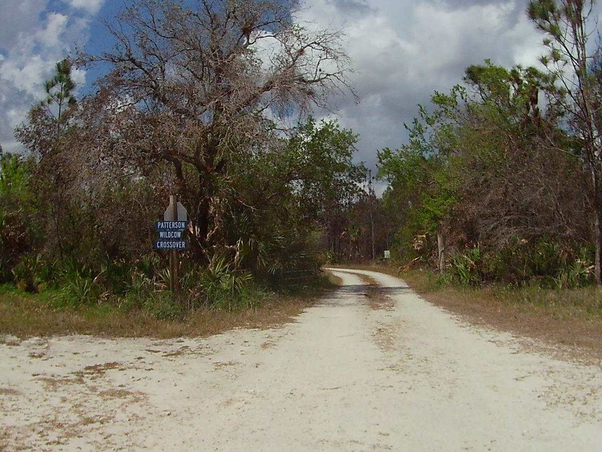
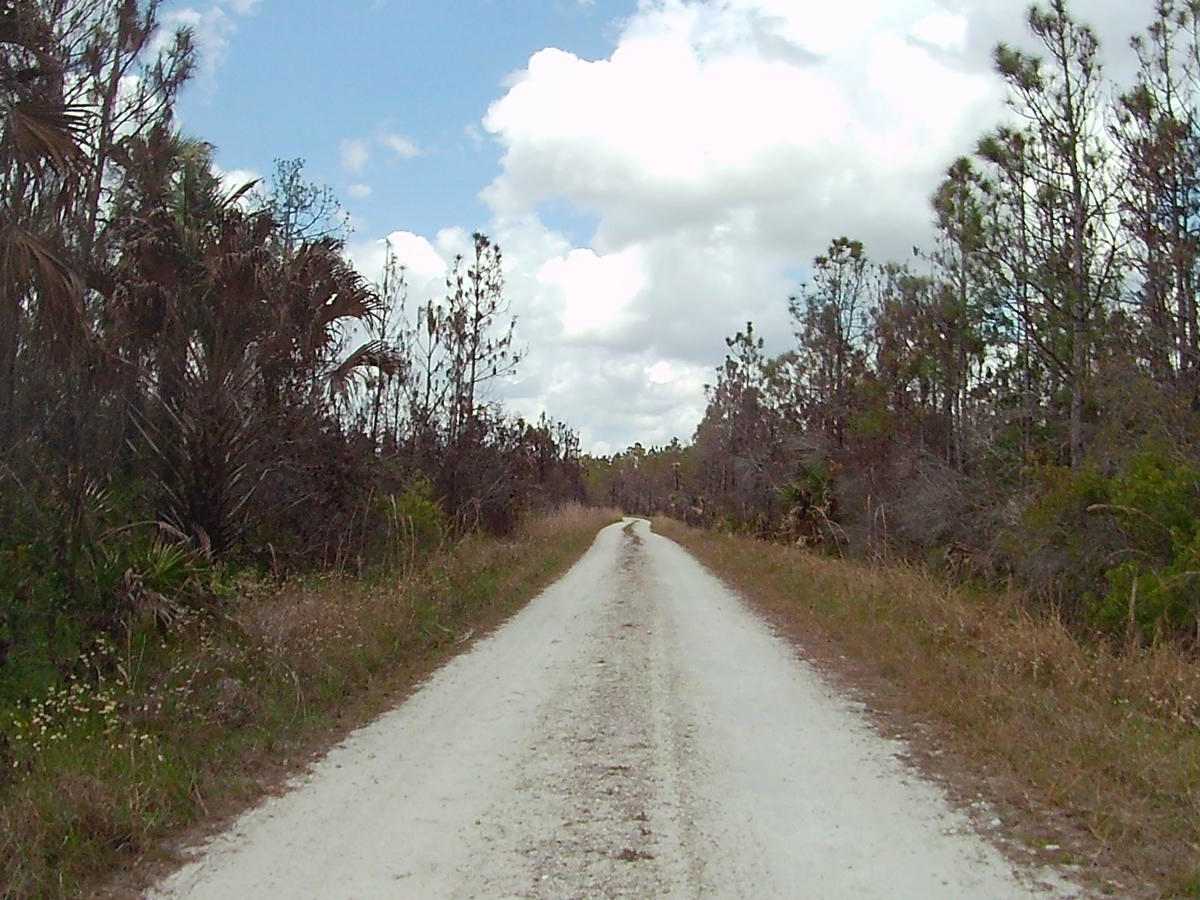
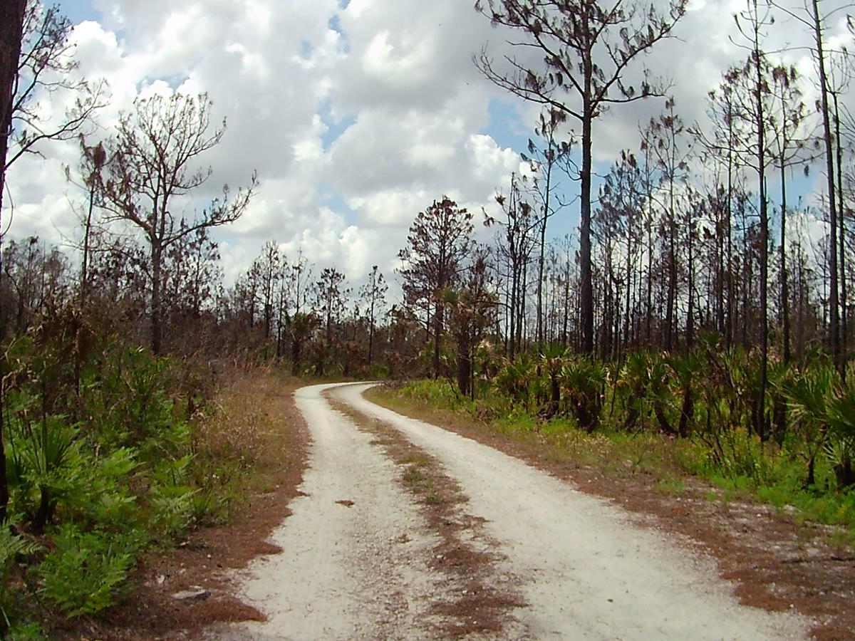
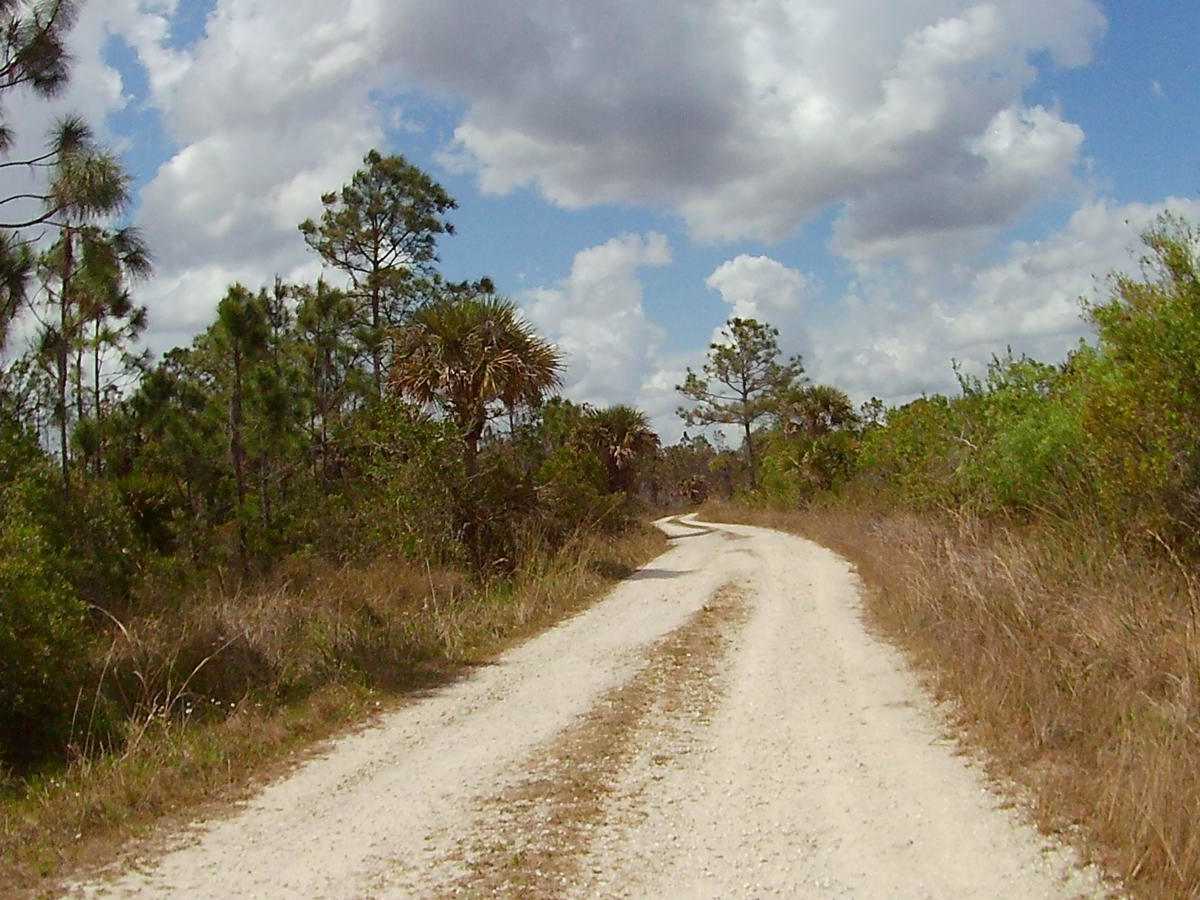
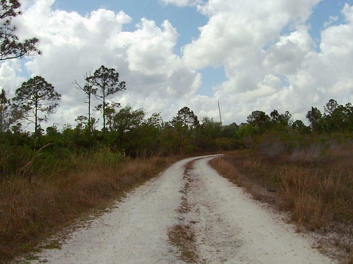
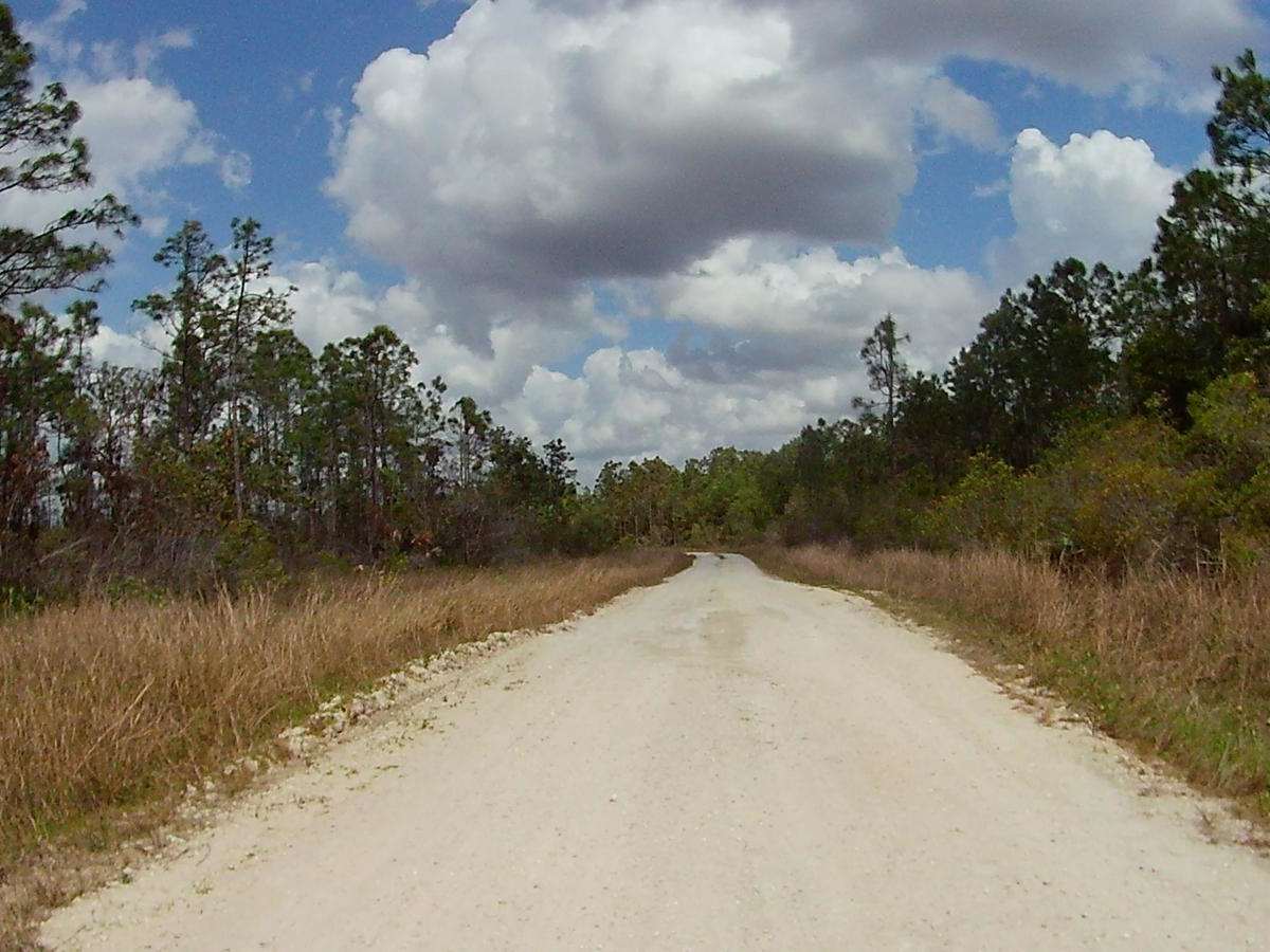
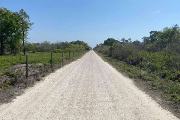
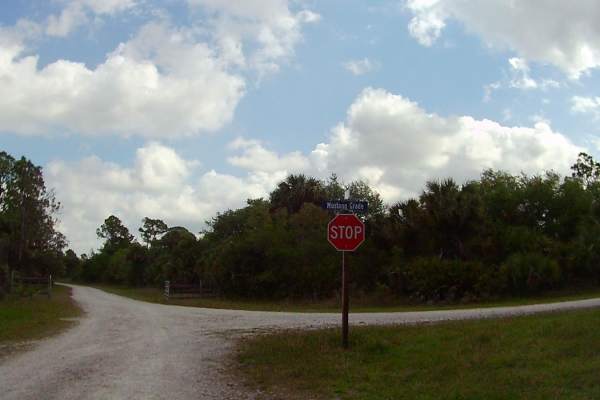
Trail Overview
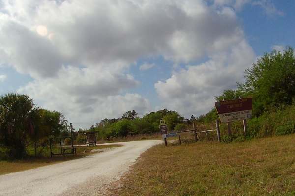
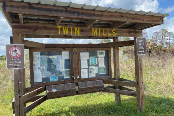
This trail is located within the Okaloacoochee Slough and Wildlife Management Area (WMA). This trail and WMA are open to public recreational access year-round. Although access is open year-round, access is limited to only registered motor vehicles. The use of airboats, all-terrain vehicles, recreational off-highway vehicles (side-by-sides), swamp buggies, tracked vehicles, or unlicensed or unregistered motorcycles is prohibited. Class 1 electric bicycles may be operated according to rules for traditional, non-motorized bicycles. All other electric bicycles may be operated only on named or numbered roads open to motorized vehicles. The trail leads through the Okaloacoochee Slough State Forest, where there are a variety of pine/oak Hammocks and wetland/marsh areas. The trail varies in width; there are some portions of the trail that are one vehicle wide only. Narrower areas will have pull-offs at select points to allow passing. Be advised some of these areas may be on soft dirt or sand, which may become sticky mud or very loose soil following rains. The trail is dirt/gravel that has areas of minor rutting, washboard effects, loose rock, and/or ungraded sections. Following rains and or storms the trail may go unmaintained for a period of time. There is a daily usage fee of $2 per person. There are no fee drop boxes onsite and will be required to be paid online through the Fees are paid online through the Forest website (see below link). https://www.fdacs.gov/Forest-Wildfire/Our-Forests/State-Forests/Okaloacoochee-Slough-State-ForestSome exceptions may apply to those who hold a current WMA Permit from FWC, check with FWC and download the specific WMA regulations posted on their website. Wildlife observation opportunities abound. This area is part of the Florida Panther habitat. There is a possibility of observing a variety of wildlife (e.g. Whitetail Deer, Wild Hogs, Panthers, Coyote, Bobcats, Cranes, Storks, Water Birds, Bald Eagles, snakes, etc.). There are also active agriculture and ranch operations along the management lands. Cattle may be seen on or along this trail. This is an active WMA; the area has several open hunting seasons starting late summer and extending through Spring.