
Dirt Bike Trails
Near Roscommon, Michigan
Explore All Dirt Bike Trails Near Roscommon, Michigan
Dirt Bike Trails Near Roscommon, Michigan
Discover the best dirt bike trails near you. Browse trail maps, check difficulty ratings, and find your next adventure — whether you're looking for a quick ride or an all-day expedition.
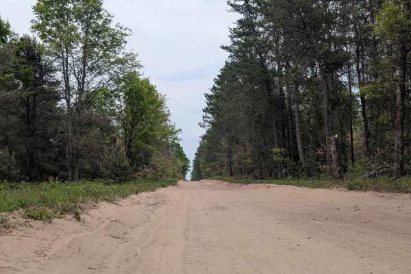
Roscommon Route
This trail runs from the edge of the town, Roscommon, where you can find many small shops and fuel. This trail is also part of the snowmobile trail system and is closed to other traffic during designated months. Be sure to check the DNR website for those specific dates. The terrain is soft, loose s...
Learn more about Roscommon Route
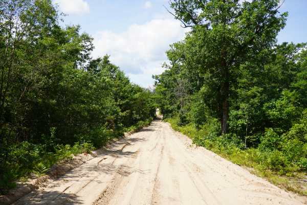
Billman Wilbur Trail
This is an unmaintained seasonal road that leads north of Roscommon heading towards Grayling and the ghost town of Pere Cheney, MI. It is a sandy road that is about 2 vehicles wide and is passable for most 4x4 vehicles. There is also a parking area near the south end of this road. Please note, this ...
Learn more about Billman Wilbur Trail
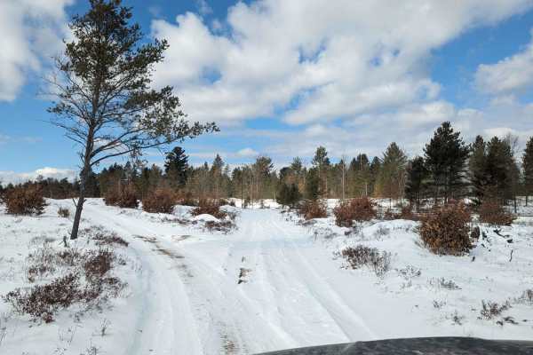
Cemetery Trail (Pere Cheney Ghost Town)
This trail is flat and sandy and weaves through both field and forest. This path starts in the same area as a marked snowmobile trail but they split almost immediately. The interesting history of this trail is that it incorporates the Pere Cheney Cemetery. Pere Cheney, established in 1874 and gone b...
Learn more about Cemetery Trail (Pere Cheney Ghost Town)

Beaver Creek MCCCT - W Seven Mile Rd - Stephan Rd
This section of Beaver Creek serves as a portion of the original Michigan Cross Country Cycle Trail (MCCCT). That being said, the trail is well loved and ridden by a lot of dirt bikes. This lends to a great natural flow, with few obstructions, and (when it hasn't been groomed) a few whoops. This is ...
Learn more about Beaver Creek MCCCT - W Seven Mile Rd - Stephan Rd
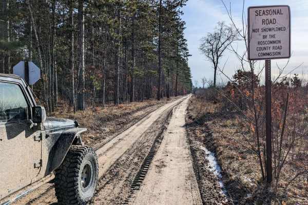
Pine Drive
This trail runs east and west. The west side of this trail is wide and represents a dirt road. This area is a mixed-traffic trail, so expect to see side-by-sides, quads, motorcycles, and snowmobiles in the winter. This section of the trail is hard-packed sand. The trail narrows down towards the east...
Learn more about Pine Drive
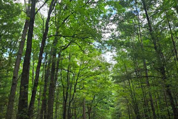
County Line
This trail divides several counties along with the national forest and state forest. This trail is mostly 1 vehicle wide, with a few sections of 1.5-vehicle width. The trail is mostly sand with a few areas that have been repaired with gravel. The trail has clear-cut areas forested areas. Various tra...
Learn more about County Line
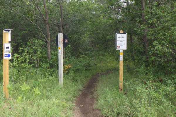
Beaver Creek MCCCT - 66775, 66776, 14894, and 16099
This section of Beaver Creek serves as a portion of the original Michigan Cross Country Cycle Trail (MCCCT). That being said, the trail is well-loved and ridden by a lot of dirt bikes. This leads to a great natural flow with few obstructions and (when it hasn't been groomed) a few whoops. This piece...
Learn more about Beaver Creek MCCCT - 66775, 66776, 14894, and 16099
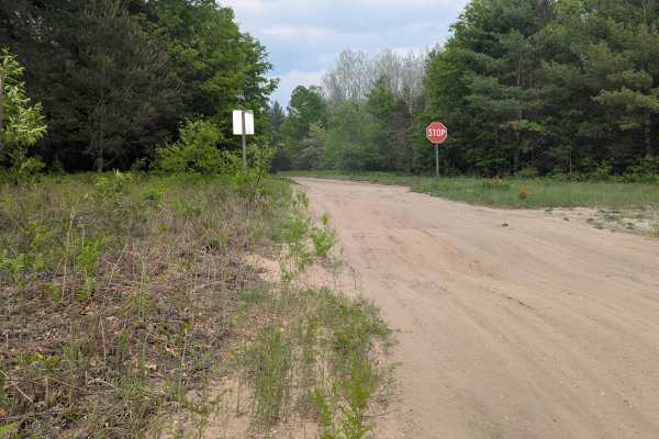
Geels Loop
This loop can be found off of Old Michigan Highway 76 and consists of Geels Trail on the north and Geels Road on the south. The north trail has large whoops on it and will be slow-moving as you make your way down the power line trail. There are many motorcycle trails as well as an open area called ...
Learn more about Geels Loop
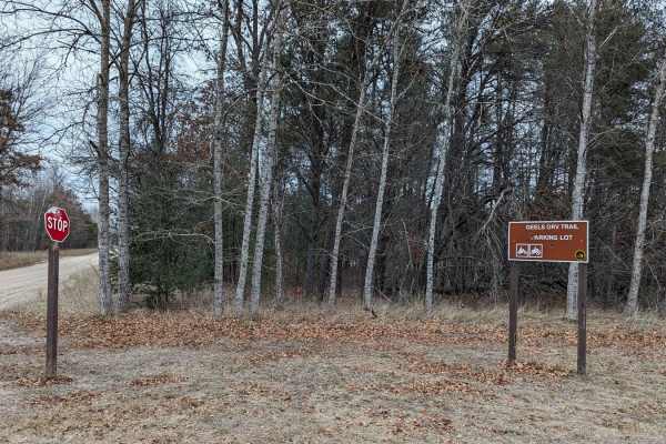
Geels North Loop
This loop is a great way to enjoy the beautiful trails of Michigan in any AWD vehicle, and it's not too far from Houghton Lake. The terrain is hard-packed sand and doesn't have any low-lying areas or puddles. As common with the high-trafficked trails in the St. Helens area, there are a few short are...
Learn more about Geels North Loop
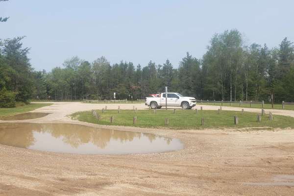
Geels South Loop
Geels South Loop is a fast paced 50" trail, roughly 25 miles long. It contains mostly shallow sand with some soft dirt, in the wooded sections. The trail is well maintained with intersections clearly marked. Geels South Loop is the perfect trail for day trip riders and for beginners trying to learn ...
Learn more about Geels South Loop
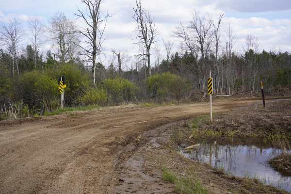
West Marl Lake Trail
This route is a sand trail that runs between Pine Drive and Sacred Chimney Trail. The scenery ranges from heavy woods to wetland areas to wide open logging areas. This is an unmaintained seasonal road, so in wetland areas, the road is often flooded. In the winter, this is a groomed snowmobile route,...
Learn more about West Marl Lake Trail
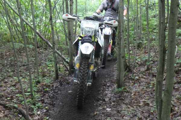
Beaver Creek - MCCCT Hero Line
This section of Beaver Creek serves as a portion of the Michigan Cross Country Cycle Trail (MCCCT). It is one of the newest sections of single track in the state of Michigan. This section of Beaver Creek MCCCT was re-routed in 2021 and officially opened to the public in May 2022. The individuals who...
Learn more about Beaver Creek - MCCCT Hero Line
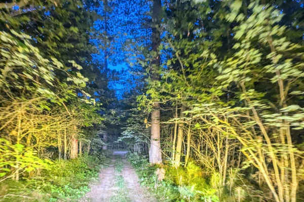
West Higgins Route
This trail is mostly over a groomed snowmobile trail through the woods. For the most part, the trail is wide enough for two vehicles, except for the tighter wooded section that is wide enough for one vehicle. The tight wooded section has branches that can leave their mark. Along the trail are a coup...
Learn more about West Higgins Route
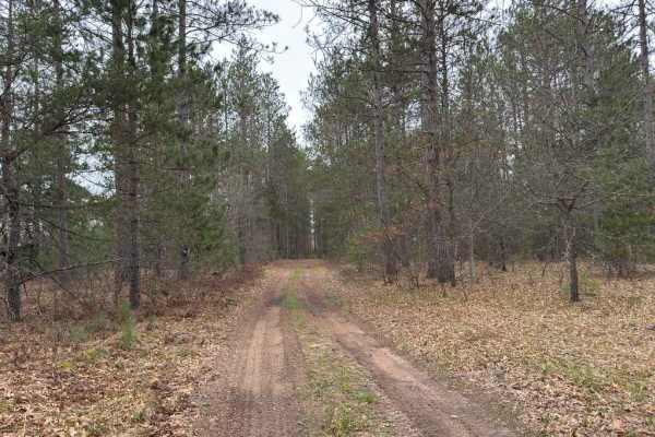
Saunter Trail
Saunter Trail is a narrow two-track connector trail running between Pine Drive and North Saint Helen Road through a quiet section of pine forest near Saint Helen. The trail is a combination of smooth hard-pack dirt and sand with grassy sections throughout. Tall pine trees line much of the route, cre...
Learn more about Saunter Trail
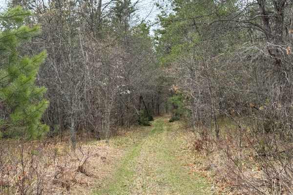
Wandering Trail
This scenic two-track begins alongside a small creek that parallels the trail for a short distance, adding a peaceful backdrop to the opening section. The trail surface consists primarily of hard-packed dirt mixed with sandy stretches and occasional grassy sections. Frequent twists and turns keep th...
Learn more about Wandering Trail
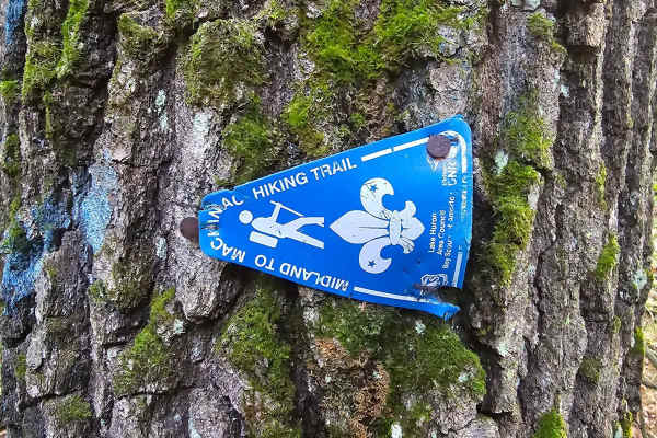
Camp Trail
This trail will take you through recent clear-cut areas and mature forests. The trail has a few deep mud holes that could be a challenge for most smaller vehicles. The trail has sections that follow the Midland to Mackinac hiking trail so it may be possible to come across hikers while running this t...
Learn more about Camp Trail
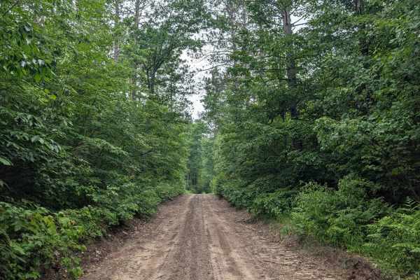
Tower Hill Truck Trail
This is a point-to-point trail that takes you between Military Road and Seven Mile Road. This is a seasonal road that will not be plowed in the winter. The terrain is groomed dirt mixed with small stone, and you can expect to find muddy spots during the wet season. The trail width is 1.5-2 vehicl...
Learn more about Tower Hill Truck Trail
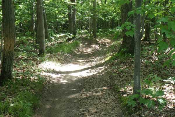
West Higgins Trail - North Cutoff, 14488, 18136, 14483, and 14484
West Higgins Trail is a 50-inch trail designed to be ridden by 50-inch ATVs, dirt bikes, and quads. The general makeup of this trail is loose sand. There is deeper sand in fresh timber-cut areas where the sun has had a chance to bake the ground. This is a fairly flat section of trail with only a few...
Learn more about West Higgins Trail - North Cutoff, 14488, 18136, 14483, and 14484
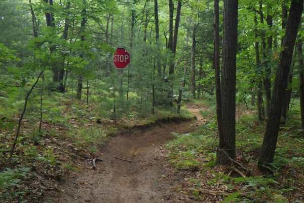
Beaver Creek MCCCT-Trail 14808
This section of Beaver Creek serves as a portion of the original Michigan Cross Country Cycle Trail (MCCCT). The trail is well-loved and ridden by a lot of dirt bikes. Made up of primarily well-established sandy single track, this leads to a great natural flow with few obstructions and (when it hasn...
Learn more about Beaver Creek MCCCT-Trail 14808
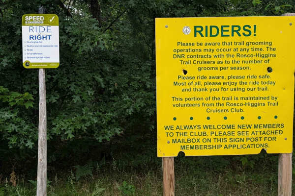
West Higgins Route Section 2
This track is the area's main trail system, and this portion runs between a Marathon Gas station staging area on 4 Mile Road and meets up with WHR section 1 on Tarn Trail. The terrain for this trail is soft sand, and the trail width maintains 1.5-3 vehicles wide. You will find this is a busy trai...
Learn more about West Higgins Route Section 2
ATV trails near Roscommon, Michigan
Explore ATV-friendly trails near you. These trails are accessible for vehicles up to 50 inches wide, perfect for ATVs and smaller off-road machines.
Roscommon Route
This trail runs from the edge of the town, Roscommon, where you can find many small shops and fuel. This trail is also part of the snowmobile trail system and is closed to other traffic during designated months. Be sure to check the DNR website for those specific dates. The terrain is soft, loose s...
Learn more about Roscommon Route
Billman Wilbur Trail
This is an unmaintained seasonal road that leads north of Roscommon heading towards Grayling and the ghost town of Pere Cheney, MI. It is a sandy road that is about 2 vehicles wide and is passable for most 4x4 vehicles. There is also a parking area near the south end of this road. Please note, this ...
Learn more about Billman Wilbur Trail
Cemetery Trail (Pere Cheney Ghost Town)
This trail is flat and sandy and weaves through both field and forest. This path starts in the same area as a marked snowmobile trail but they split almost immediately. The interesting history of this trail is that it incorporates the Pere Cheney Cemetery. Pere Cheney, established in 1874 and gone b...
Learn more about Cemetery Trail (Pere Cheney Ghost Town)
Pine Drive
This trail runs east and west. The west side of this trail is wide and represents a dirt road. This area is a mixed-traffic trail, so expect to see side-by-sides, quads, motorcycles, and snowmobiles in the winter. This section of the trail is hard-packed sand. The trail narrows down towards the east...
Learn more about Pine Drive
UTV/side-by-side trails near Roscommon, Michigan
Find UTV and side-by-side trails near you. These trails accommodate vehicles up to 60 inches wide, ideal for UTVs, side-by-sides, and wider off-road rigs.
Roscommon Route
This trail runs from the edge of the town, Roscommon, where you can find many small shops and fuel. This trail is also part of the snowmobile trail system and is closed to other traffic during designated months. Be sure to check the DNR website for those specific dates. The terrain is soft, loose s...
Learn more about Roscommon Route
Billman Wilbur Trail
This is an unmaintained seasonal road that leads north of Roscommon heading towards Grayling and the ghost town of Pere Cheney, MI. It is a sandy road that is about 2 vehicles wide and is passable for most 4x4 vehicles. There is also a parking area near the south end of this road. Please note, this ...
Learn more about Billman Wilbur Trail
Cemetery Trail (Pere Cheney Ghost Town)
This trail is flat and sandy and weaves through both field and forest. This path starts in the same area as a marked snowmobile trail but they split almost immediately. The interesting history of this trail is that it incorporates the Pere Cheney Cemetery. Pere Cheney, established in 1874 and gone b...
Learn more about Cemetery Trail (Pere Cheney Ghost Town)
Pine Drive
This trail runs east and west. The west side of this trail is wide and represents a dirt road. This area is a mixed-traffic trail, so expect to see side-by-sides, quads, motorcycles, and snowmobiles in the winter. This section of the trail is hard-packed sand. The trail narrows down towards the east...
Learn more about Pine Drive
The onX Offroad Difference
onX Offroad combines trail photos, descriptions, difficulty ratings, width restrictions, seasonality, and more in a user-friendly interface. Available on all devices, with offline access and full compatibility with CarPlay and Android Auto. Discover what you're missing today!
Open Trail Map