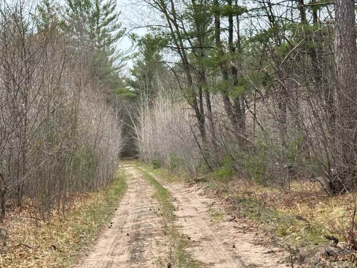
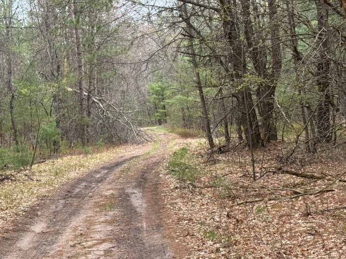
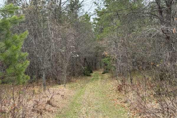
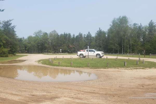
Trail Overview
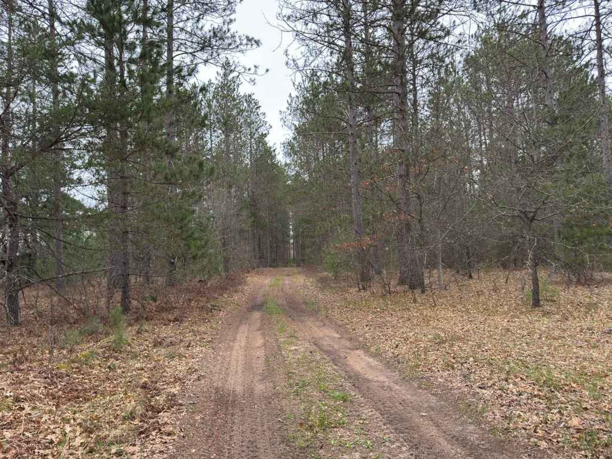
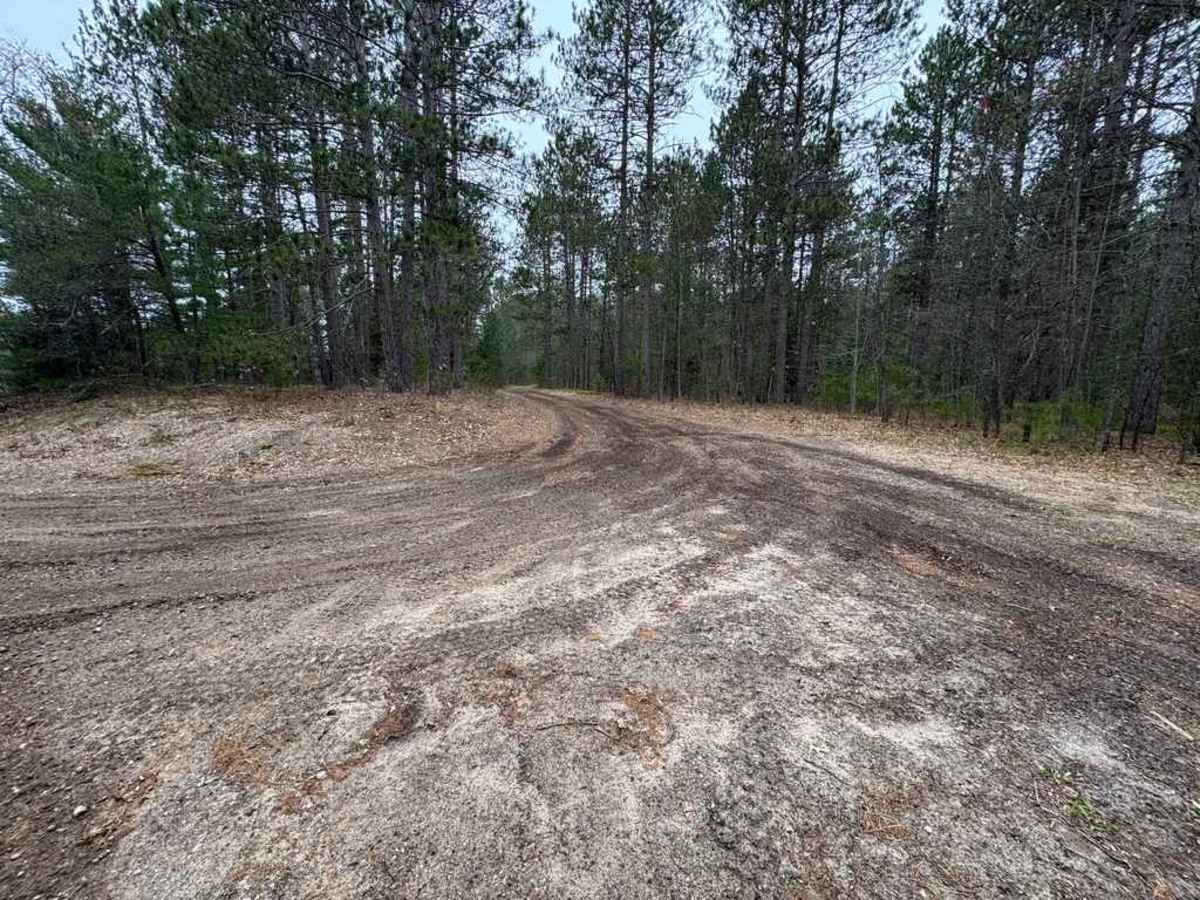
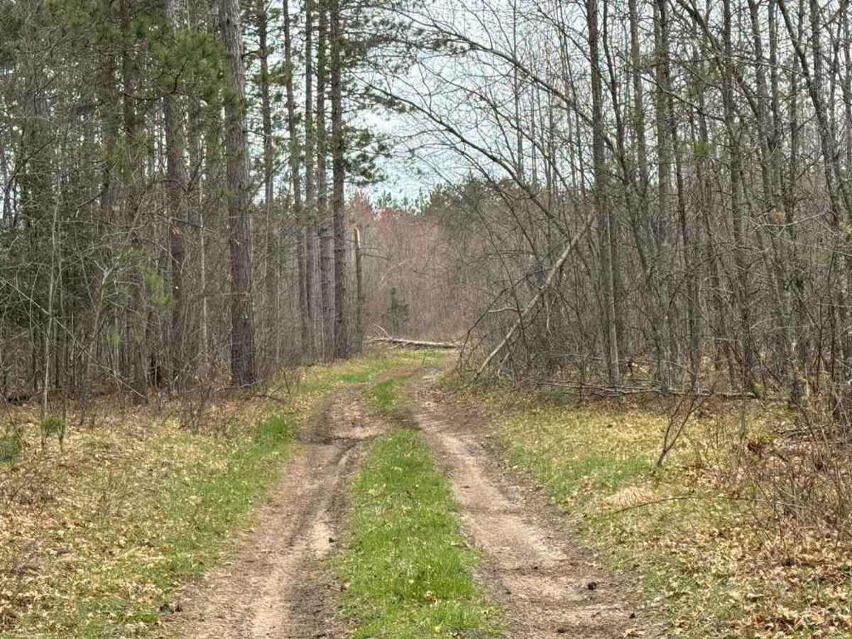
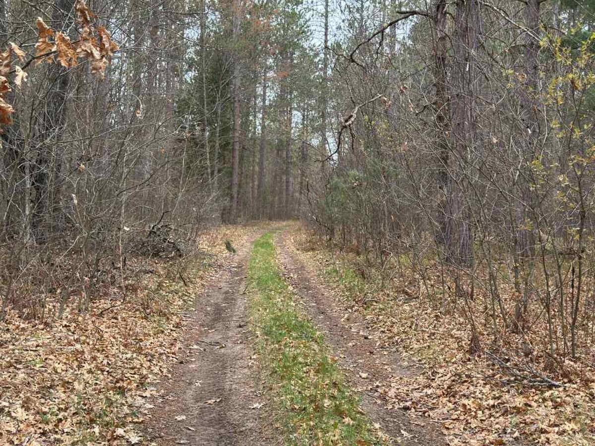
Saunter Trail is a narrow two-track connector trail running between Pine Drive and North Saint Helen Road through a quiet section of pine forest near Saint Helen. The trail is a combination of smooth hard-pack dirt and sand with grassy sections throughout. Tall pine trees line much of the route, creating a secluded forest setting while still allowing enough room for passing in several pull-off areas along the trail.
Although the trail is generally easy to navigate, watch for uneven terrain and minor ruts that may require slower speeds, especially after wet conditions. Several intersections with other two-tracks can make navigation slightly challenging without GPS mapping or trail awareness. Fallen trees may occasionally block portions of the trail, especially during the spring season.
Difficulty
This trail is rated easy due to its mostly smooth natural surface and lack of major technical obstacles. The beginning section can become soft during wetter conditions, and a few rough or uneven spots may require minor caution, but there are no major climbs, rock obstacles, or deep mud sections under normal conditions. The trail remains narrow in several areas, though multiple pull-off locations allow vehicles traveling in opposite directions to pass safely. Navigation awareness is recommended because of the numerous intersecting two-tracks throughout the route.