
Dirt Bike Trails
Near Riverside, Washington
Explore All Dirt Bike Trails Near Riverside, Washington
Dirt Bike Trails Near Riverside, Washington
Discover the best dirt bike trails near you. Browse trail maps, check difficulty ratings, and find your next adventure — whether you're looking for a quick ride or an all-day expedition.
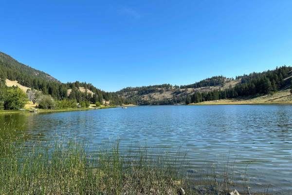
Chopaka Lake
This trail is mostly gravel state and county roads leading through the Sinlahekin Wildlife Refuge. It goes up the steep Chopaka Grade overlooking Palmer Lake and Palmer Mountain (historic gold mining country) and to Chopaka Lake, a favorite camping, swimming, boating, and fishing spot near Loomis, W...
Learn more about Chopaka Lake
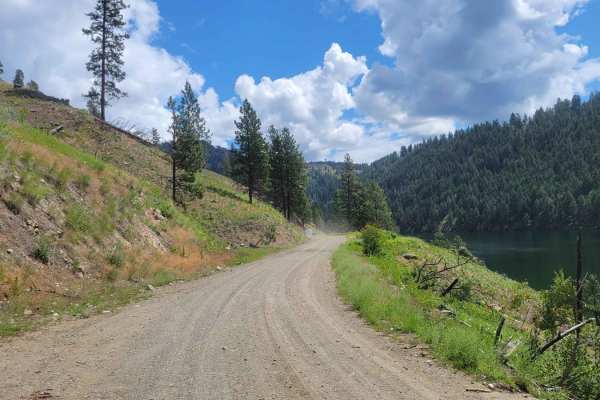
Sinlahekin Road
This is part of the WABDR (Section 5) and is therefore often trafficked by ADV riders and other adventurists. Please use caution. This section of trail is a nice wide dirt road - wide enough for vehicles to pass one another. It is maintained for access to the several campgrounds, lakes, and communit...
Learn more about Sinlahekin Road
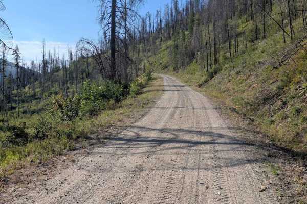
FS 3800-025
This road starts as a 1.5-lane gravel track and narrows to a single lane as it climbs. There is room to safely meet another vehicle in most places. The road also becomes a more natural surface instead of gravel as it climbs. There are a few switchbacks with a reasonable radius, and the area above th...
Learn more about FS 3800-025
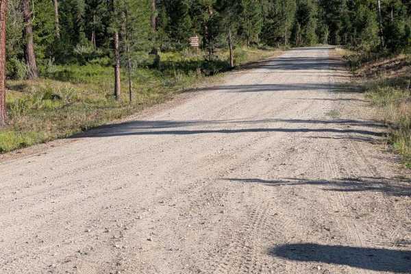
3700-100 Conger Creek Rd
This road starts out from the main FS 37 road as a 1.5 lane smooth natural surface road. It stays like that until the national forest boundary, where it starts to climb and has significant erosion ruts and damage. The road here is still wide enough that most of the ruts can be easily avoided. The ro...
Learn more about 3700-100 Conger Creek Rd
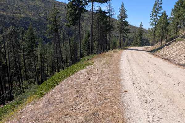
Rock Lakes Road
The northern part of this road is 1.5 lanes and in good condition. The rest of it is a single-lane dirt road with sections of shallow ruts, mild erosion damage, and some embedded and loose rocks. All of those were less than six inches high or deep. There are plenty of places to safely meet another v...
Learn more about Rock Lakes Road
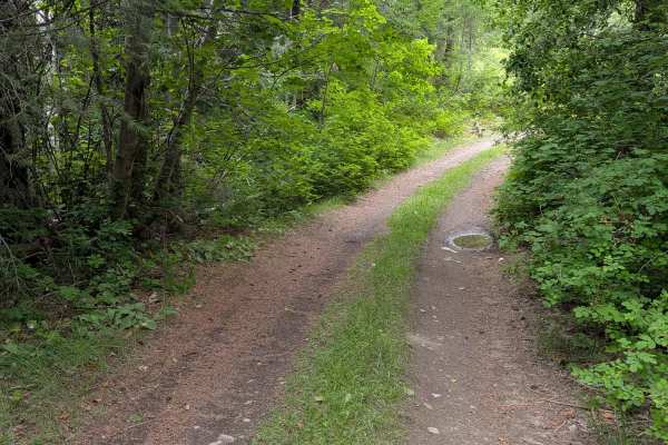
E352415a
This single-lane dirt road starts from the main FS 41 road and finishes at Conger Creek Road, FS 3700-100. Most of the road is in decent shape, with some erosion ruts and damage. There were embedded rocks around a foot high and loose rocks of similar height. The primary obstacle is a steep and rocky...
Learn more about E352415a
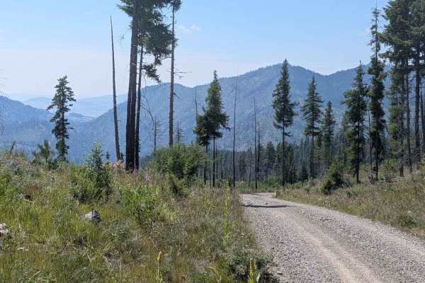
E362507a
This single-lane gravel road climbs up from Bryson Road to eventually become Gibson Creek Road about 2.6 miles in. Most of it is in decent shape, but there are some erosion ruts and damage, including exposed embedded and loose rocks around 6 inches deep or higher. It mostly goes through mixed forest...
Learn more about E362507a
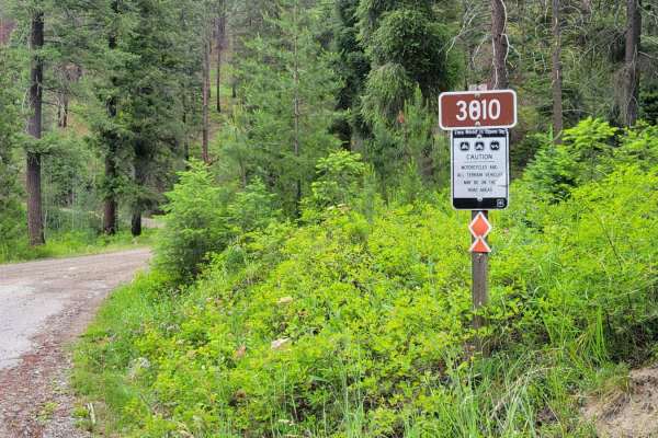
Funk Mountain - FS 3810
From the main road (FR 28), this trail begins as an easy and wide dirt road that climbs up to the hillside. Once you turn South, the trail progressively becomes more narrow. The further up you travel, the more technical and tricky the trail becomes. Due to a small landslide, and until repaired, ther...
Learn more about Funk Mountain - FS 3810
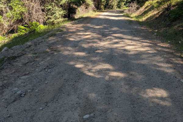
Bryson Road
This road starts off from the FS 3810 road as a 1.5 lane smooth gravel road. Initially the closest things to obstacles are potholes. Even those aren't that bad. As the road travels along it narrows to a single lane and has a few spots with erosion ruts and damage, with exposed embedded rocks less th...
Learn more about Bryson Road
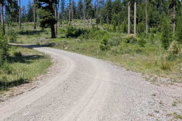
Gibson Creek Road
This road picks up where E362507a left off, with no real marker for the name change. It climbs up to meet Big Toad Road at an intersection. The track that continues ahead becomes closed at some unmarked point, as it is tank-trapped and blocked off at Bryson Road. Gibson Creek Road is gravel with som...
Learn more about Gibson Creek Road
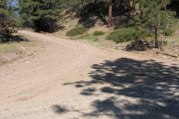
FS 3810-100
This is a rocky single-lane natural-surface road that climbs through a mixed forest. It begins from FS 3810 and connects through to Bryson Road. Most of the road is in good condition, but several of the climbs have erosion damage, embedded rock, and loose rocks around 6 inches deep or higher. The ro...
Learn more about FS 3810-100
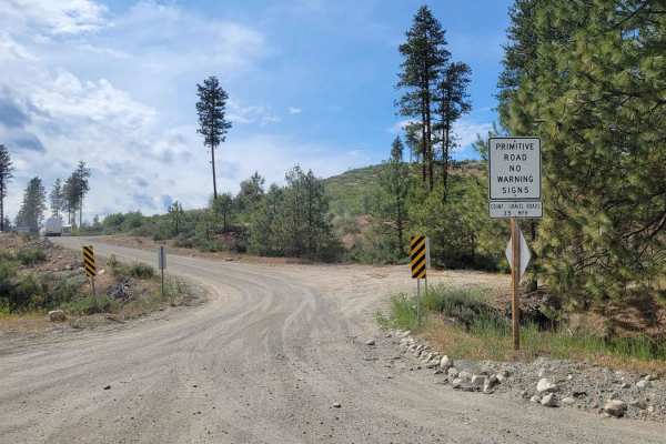
FR 2045 - Loup Loup Canyon Road
This route is a part of the WABDR (Section 5) and is therefore often trafficked by ADV riders. Please use caution. The trail from Highway 20 begins as a gentle and easy dirt road - wide enough for two vehicles to pass one another. Once you reach the Rock Creek Campground, the trail progressively bec...
Learn more about FR 2045 - Loup Loup Canyon Road
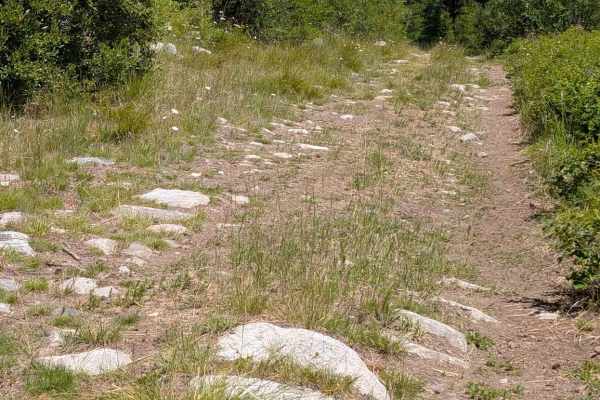
Big Toad Rd
This is a natural surface road with quite a few partially exposed embedded rocks. Most of the rocks are around six inches high, but a few get closer to a foot. There are places to safely meet another vehicle, but many spots are too narrow for that. The road begins at Gibson Creek Rd and climbs up to...
Learn more about Big Toad Rd

De Pue Creek Road
This is a single-lane dirt road picking up where the West Fork Rock Creek Road ends at an intersection with an unnamed road. It has some embedded and loose rock a little over six inches high, and one or two water bars that are a bit steep. The road is overgrown in places. It travels through both for...
Learn more about De Pue Creek Road
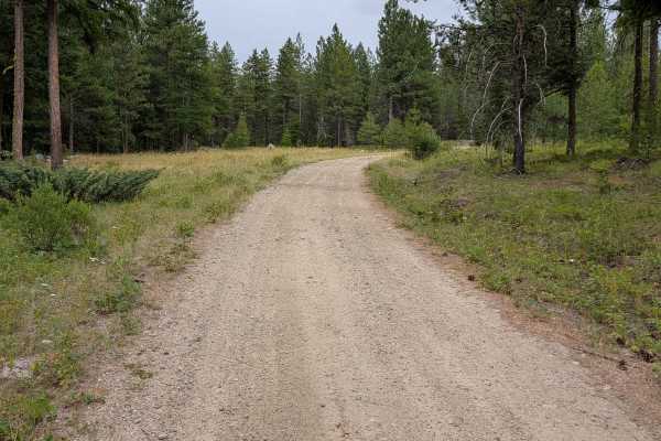
Cedar Creek - FS 3700-110
This single-lane dirt road connects the FS 3700-100 to E352415a. It has some erosion ruts around a foot deep, and the crossing of Cedar Creek is through an old washout. The washout itself isn't bad, but the climb back up to road level is a bit eroded to around a foot deep. The road also has embedded...
Learn more about Cedar Creek - FS 3700-110
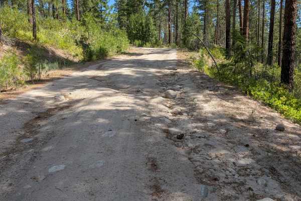
West Fork Rock Creek Road
This dirt road starts out from Highway 20 as a two-lane road, narrowing to 1.5 and finally a single lane as it climbs north. There is ample room to meet another vehicle in most places. Most of the road has open views. There are some ruts and sections of erosion damage, along with some embedded and l...
Learn more about West Fork Rock Creek Road
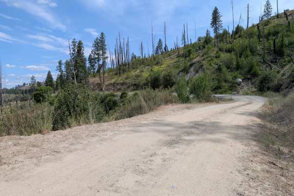
North Cook Mountain Road North half
This road starts as 1.5 lanes of gravel, but the gravel doesn't last for long. It stays about the same width, but the surface reverts to dirt. It meanders along the ridge, giving a glimpse of Highway 20 below, before ending abruptly at a locked gate where the road crosses onto private property. It i...
Learn more about North Cook Mountain Road North half
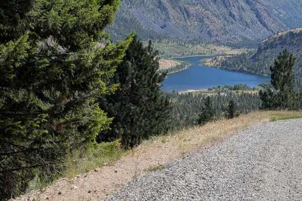
Douglas Mountain Road
This gravel road starts from the Sanlahekin Mainline as 1.5 lanes wide. The initial climb is pretty steep and has quite a bit of washboard. That climb grade holds fairly steady for the first 1.3 miles. The road travels through open areas with expansive views as well as areas of dense forest. It is m...
Learn more about Douglas Mountain Road
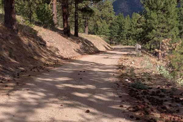
Mineral Hill Road - FS 3700-520
This dirt road connects FS 3700-500 into Conconully. It has a few rocky and rough spots, but is generally in good shape. It gets wider and better as it gets closer to town. It is wide enough for 2 vehicles to meet for most of its length. There is a nice view of the lake as the road drops down toward...
Learn more about Mineral Hill Road - FS 3700-520
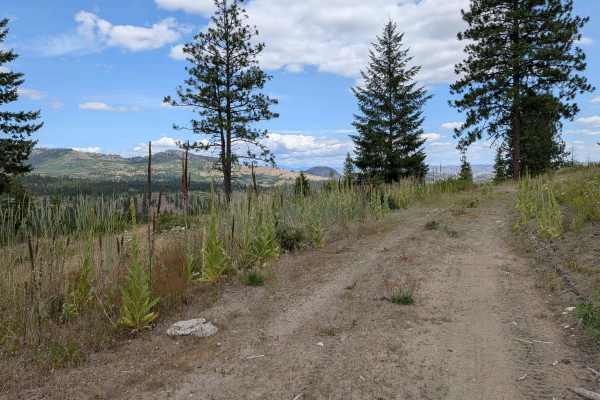
E332411T
This single-lane dirt road starts easily from Golden Rule Road. It winds through an area that was logged, with quite a few trees left standing. There are many possible side roads to take, and this track gets more overgrown as it continues. Once it starts heading down toward North Cook Mountain Road,...
Learn more about E332411T
ATV trails near Riverside, Washington
Explore ATV-friendly trails near you. These trails are accessible for vehicles up to 50 inches wide, perfect for ATVs and smaller off-road machines.
Chopaka Lake
This trail is mostly gravel state and county roads leading through the Sinlahekin Wildlife Refuge. It goes up the steep Chopaka Grade overlooking Palmer Lake and Palmer Mountain (historic gold mining country) and to Chopaka Lake, a favorite camping, swimming, boating, and fishing spot near Loomis, W...
Learn more about Chopaka Lake
Sinlahekin Road
This is part of the WABDR (Section 5) and is therefore often trafficked by ADV riders and other adventurists. Please use caution. This section of trail is a nice wide dirt road - wide enough for vehicles to pass one another. It is maintained for access to the several campgrounds, lakes, and communit...
Learn more about Sinlahekin Road
FS 3800-025
This road starts as a 1.5-lane gravel track and narrows to a single lane as it climbs. There is room to safely meet another vehicle in most places. The road also becomes a more natural surface instead of gravel as it climbs. There are a few switchbacks with a reasonable radius, and the area above th...
Learn more about FS 3800-025
3700-100 Conger Creek Rd
This road starts out from the main FS 37 road as a 1.5 lane smooth natural surface road. It stays like that until the national forest boundary, where it starts to climb and has significant erosion ruts and damage. The road here is still wide enough that most of the ruts can be easily avoided. The ro...
Learn more about 3700-100 Conger Creek Rd
UTV/side-by-side trails near Riverside, Washington
Find UTV and side-by-side trails near you. These trails accommodate vehicles up to 60 inches wide, ideal for UTVs, side-by-sides, and wider off-road rigs.
Chopaka Lake
This trail is mostly gravel state and county roads leading through the Sinlahekin Wildlife Refuge. It goes up the steep Chopaka Grade overlooking Palmer Lake and Palmer Mountain (historic gold mining country) and to Chopaka Lake, a favorite camping, swimming, boating, and fishing spot near Loomis, W...
Learn more about Chopaka Lake
Sinlahekin Road
This is part of the WABDR (Section 5) and is therefore often trafficked by ADV riders and other adventurists. Please use caution. This section of trail is a nice wide dirt road - wide enough for vehicles to pass one another. It is maintained for access to the several campgrounds, lakes, and communit...
Learn more about Sinlahekin Road
FS 3800-025
This road starts as a 1.5-lane gravel track and narrows to a single lane as it climbs. There is room to safely meet another vehicle in most places. The road also becomes a more natural surface instead of gravel as it climbs. There are a few switchbacks with a reasonable radius, and the area above th...
Learn more about FS 3800-025
3700-100 Conger Creek Rd
This road starts out from the main FS 37 road as a 1.5 lane smooth natural surface road. It stays like that until the national forest boundary, where it starts to climb and has significant erosion ruts and damage. The road here is still wide enough that most of the ruts can be easily avoided. The ro...
Learn more about 3700-100 Conger Creek Rd
The onX Offroad Difference
onX Offroad combines trail photos, descriptions, difficulty ratings, width restrictions, seasonality, and more in a user-friendly interface. Available on all devices, with offline access and full compatibility with CarPlay and Android Auto. Discover what you're missing today!
Open Trail Map