
Dirt Bike Trails
Near Rhodell, West Virginia
Explore All Dirt Bike Trails Near Rhodell, West Virginia
Dirt Bike Trails Near Rhodell, West Virginia
Discover the best dirt bike trails near you. Browse trail maps, check difficulty ratings, and find your next adventure — whether you're looking for a quick ride or an all-day expedition.
M Black
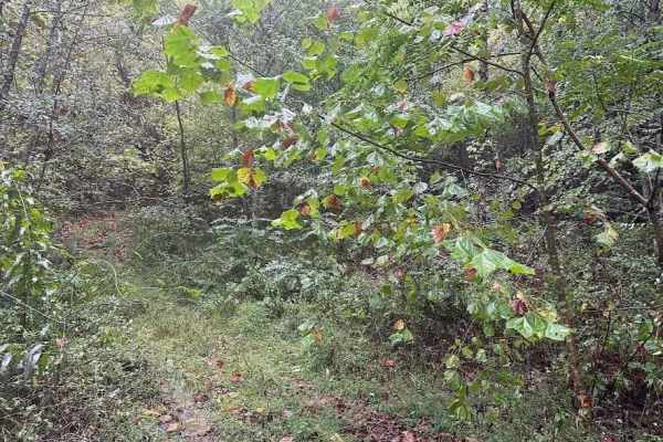
M Black is a hill trail full of ruts and ledges. Coming up the trail the first part of it is not difficult but then it quickly becomes a steep hill climb with ruts that can be 12" deep. Mix in some decent rock ledges and it becomes a throttle assault hill.
Learn more about M Black
D Green
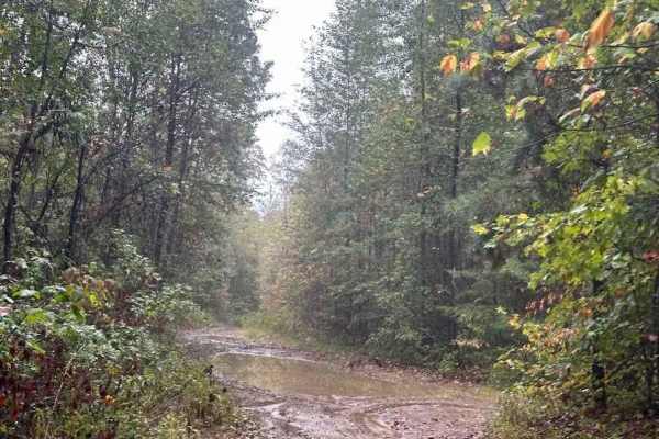
Want puddles and shallow mud? D is the trail for you. This flatter trail has plenty of puddles with muddy bottoms leading to the overlook at the end. The end of this trail leads to two different black trails so be aware of your route before continuing.
Learn more about D Green
U Green
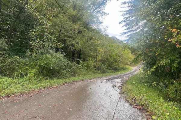
This trail is on the bottom side of the mountain. It connects a bunch of trails and leads out to an exit road to the main road. As far as difficulty, this is more of a road than a trail. Expect puddles and some brushy spots, but the trail is not very difficult.
Learn more about U Green
L Black
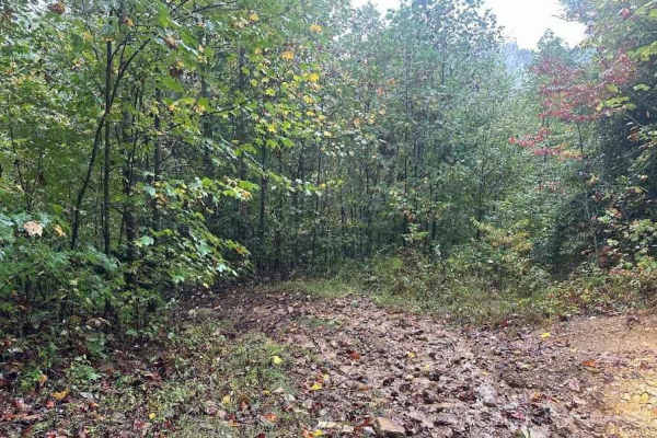
This black trail has some serious deep ruts that are difficult to get through without dragging the side of your machine into the side. It starts and ends as a decent smooth trail but the rocky ruts in the middle give you some serious challenges to get through.
Learn more about L Black
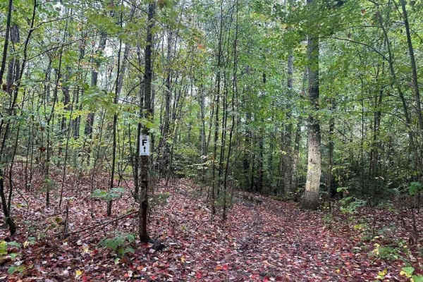
F/57 Blue
F goes from D to J trails. This is a rocky and wet trail full of puddles and turns. Rocks and small ledges at spots make this a technical and fun trail. The trail is a decent length and has easier sections and rougher sections.
Learn more about F/57 Blue
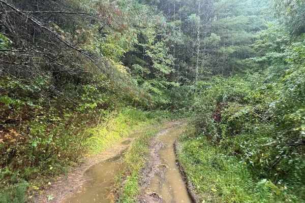
Q/28 Green
Q is a muddy and rutted trail that can be a little brushy in spots. It starts and ends off of A trail with some ups and downs, puddles, small rocks, and a host of other small challenges. This is a nice change and can be used to make A trail a nice loop.
Learn more about Q/28 Green
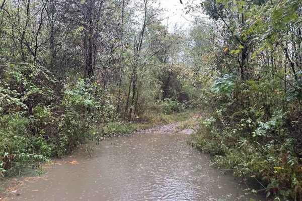
G/24 Green
G starts out as a rocky downhill and depending on the weather it can be really rutted and rocky. It loops around and connects to trail H. Expect rocks, ruts, logs, and brush. There are puddles and tight trees on the bottom of the hill that look far worse than they are but do give a little challenge.
Learn more about G/24 Green
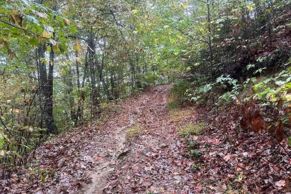
H/23 Green
H is a nice wooded trail that makes a loop between G and A trails. This is a narrow trail full of puddles and shallow ruts. It can be used to mix up routes and loop back to the top of the mountain if you take G trail or others.
Learn more about H/23 Green
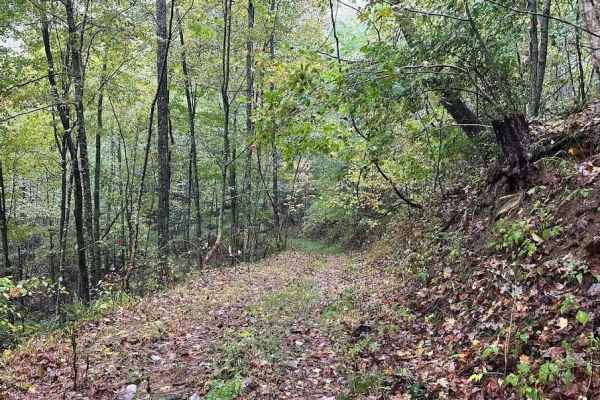
J/57 Blue
Taking J will lead you through a common theme at Burning Rock. That is the narrow mountainside trail that weaves down over the hill. It has ruts, rocks, and plenty of puddles. The trail does get a little brushy, but it is a fun technical blue trail to work down the mountain.
Learn more about J/57 Blue
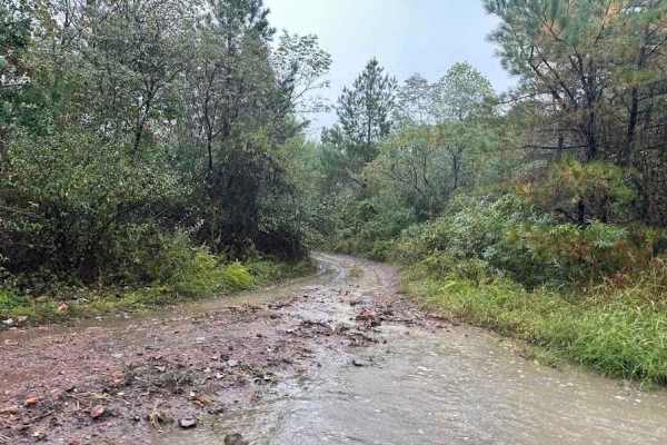
K Green
K is a fun trail. It has switchbacks working down over the mountain to connect with U trail. There are plenty of things to keep focused on especially if it is raining. Watch for logs, ruts, rocks, puddles, roots, tight areas, and much more.
Learn more about K Green
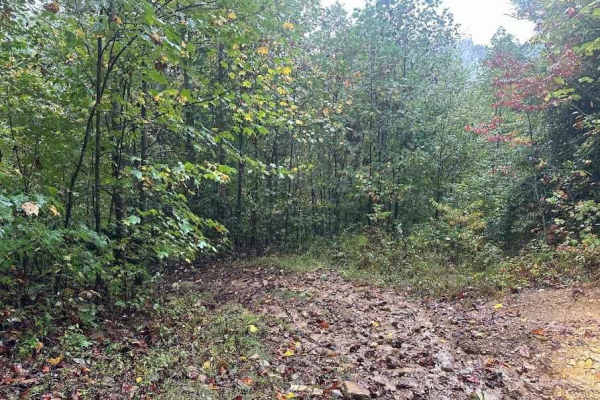
Y Blue
Y is a short blue connector trail between the U and F trails. Expect ruts, rocks, a log, and some elevation changes depending on direction. This is a grassy wooded trail that has some slightly challenging spots. Using this trail makes for a great shortcut down to Trail U.
Learn more about Y Blue
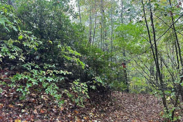
85 Black
85 black is a challenging trail that can be run either way. Running it downhill would be easier and goes with regular trail flow. Expect a very rocky and rutted trail that goes along the side of a mountain. There are quite a few challenging rocky sections to tackle along this trail.
Learn more about 85 Black
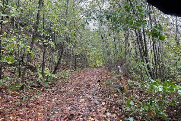
39 Blue
39 Blue starts off of the Tams loop. The first part of the trail is easier with puddles and some mud spots. Look for mining remnants like an old mine and the water tank. The downhill part of the trail is a little trickier. It is a steep washed out hill with plenty of rocks and tight trees.
Learn more about 39 Blue
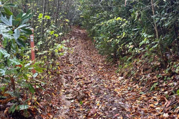
72 Black
This black trail goes along the mountain side going up and down with rocky and rutted sections. There is an overlook that is a nice flat clearing to take a break at. Being a black trail it has plenty of rocky areas with slick spots. The trail is narrow at spots and care needs to be taken while ridin...
Learn more about 72 Black
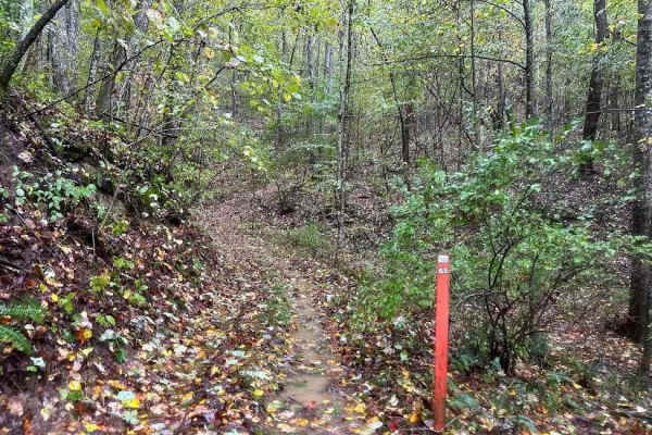
65 Blue
This blue trail is full of challenges. Included are hill climbs, small rocky areas, twisty off-camber spots, and even muddy puddles. It is a fun flowing trail off of X trail that adds some challenge to taking X or you can come off of 85 and use this to get to X trail.
Learn more about 65 Blue
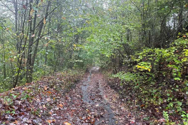
18 Green
18 Green is an easier trail that connects between two spots on the Tams trail. There are a few ledges from erosion but they are not terrible. If there are any novice riders in your group be cautious at a few spots as they are challenging but doable.
Learn more about 18 Green
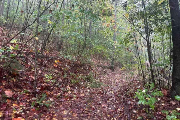
8 Green
8 Green connects between Trails 55 and Trail X. It is an easier green trail with some puddles and possible branches to smack you. To get to 8 you can take Trail 55. The section up to 8 is not difficult or you can drive up X trail.
Learn more about 8 Green
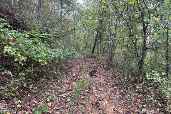
14 Green
Nice switchback trail with small elevation changes and small challenges. This is your typical wooded trail here. Plenty of turns with up and down sections on a single-width trail. Expect some small obstacles like rocks, logs, puddles, and regular trail objects. This is a fun trail to get to the uppe...
Learn more about 14 Green
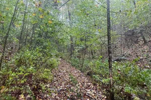
88 Black
88 black is part trail and part creek bed. There are plenty of rocks to play on as you traverse the hill up or down the mountain. It connects between X and 18 and is full of rocky challenges. Plan for plenty of rocks, slippery conditions, off-camber sections, and ruts.
Learn more about 88 Black
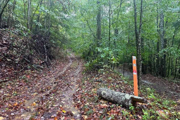
55 Blue
This blue trail goes up from Tams Trail up to X trail and is a rocky and rutted trail. Expect the trail to get more challenging on the hill sections where the ruts and small ledges form. Combining this and the other blue and black trails in this area makes for a fun series of loops.
Learn more about 55 Blue
ATV trails near Rhodell, West Virginia
Explore ATV-friendly trails near you. These trails are accessible for vehicles up to 50 inches wide, perfect for ATVs and smaller off-road machines.
M Black
M Black is a hill trail full of ruts and ledges. Coming up the trail the first part of it is not difficult but then it quickly becomes a steep hill climb with ruts that can be 12" deep. Mix in some decent rock ledges and it becomes a throttle assault hill.
Learn more about M Black
D Green
Want puddles and shallow mud? D is the trail for you. This flatter trail has plenty of puddles with muddy bottoms leading to the overlook at the end. The end of this trail leads to two different black trails so be aware of your route before continuing.
Learn more about D Green
U Green
This trail is on the bottom side of the mountain. It connects a bunch of trails and leads out to an exit road to the main road. As far as difficulty, this is more of a road than a trail. Expect puddles and some brushy spots, but the trail is not very difficult.
Learn more about U Green
L Black
This black trail has some serious deep ruts that are difficult to get through without dragging the side of your machine into the side. It starts and ends as a decent smooth trail but the rocky ruts in the middle give you some serious challenges to get through.
Learn more about L Black
UTV/side-by-side trails near Rhodell, West Virginia
Find UTV and side-by-side trails near you. These trails accommodate vehicles up to 60 inches wide, ideal for UTVs, side-by-sides, and wider off-road rigs.
M Black
M Black is a hill trail full of ruts and ledges. Coming up the trail the first part of it is not difficult but then it quickly becomes a steep hill climb with ruts that can be 12" deep. Mix in some decent rock ledges and it becomes a throttle assault hill.
Learn more about M Black
D Green
Want puddles and shallow mud? D is the trail for you. This flatter trail has plenty of puddles with muddy bottoms leading to the overlook at the end. The end of this trail leads to two different black trails so be aware of your route before continuing.
Learn more about D Green
U Green
This trail is on the bottom side of the mountain. It connects a bunch of trails and leads out to an exit road to the main road. As far as difficulty, this is more of a road than a trail. Expect puddles and some brushy spots, but the trail is not very difficult.
Learn more about U Green
L Black
This black trail has some serious deep ruts that are difficult to get through without dragging the side of your machine into the side. It starts and ends as a decent smooth trail but the rocky ruts in the middle give you some serious challenges to get through.
Learn more about L Black
The onX Offroad Difference
onX Offroad combines trail photos, descriptions, difficulty ratings, width restrictions, seasonality, and more in a user-friendly interface. Available on all devices, with offline access and full compatibility with CarPlay and Android Auto. Discover what you're missing today!
Open Trail Map