
Dirt Bike Trails
Near Prosperity, South Carolina
Explore All Dirt Bike Trails Near Prosperity, South Carolina
Dirt Bike Trails Near Prosperity, South Carolina
Discover the best dirt bike trails near you. Browse trail maps, check difficulty ratings, and find your next adventure — whether you're looking for a quick ride or an all-day expedition.
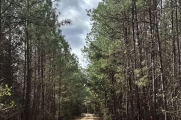
Cricket Tree Road
This scenic forest trail winds through tall pine trees and sandy terrain, offering a quiet off-road drive surrounded by nature. The surface is mostly sandy and graded, with occasional muddy puddles after rain and scattered pinecones along the path. Gentle curves and narrow sections between trees add...
Learn more about Cricket Tree Road
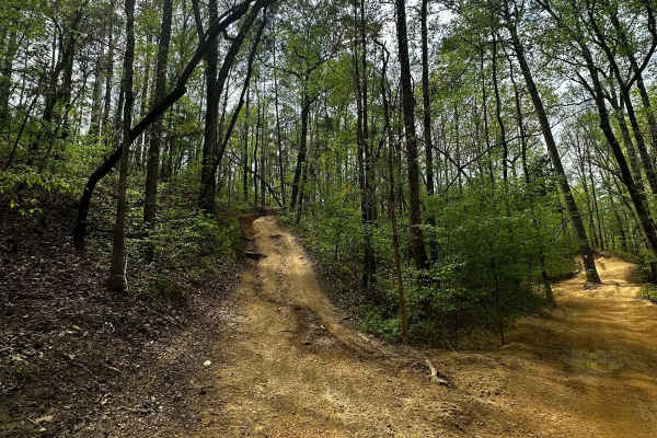
Trail 29
Trail 29 is not marked. It goes uphill parallel to Trail 4 and has some rough dips and uphill climbs. It is a short trail, an alternative route from Mammoth Hill, and it takes you up to the overlook on Trail 4. It's really narrow in some areas and has a steep climb at the end.
Learn more about Trail 29
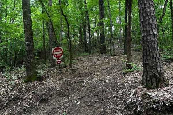
Trail 15
Trail 15 is off Trail 17 and loops back to Trail 17 as well. It has steep hill climbs, rocks, and ruts, and will definitely need 4x4. It goes up the Trail 4 overlook and comes back down. The downhill is just as rocky and steep as the uphill. This is part of the black diamond trails in the park. Expe...
Learn more about Trail 15
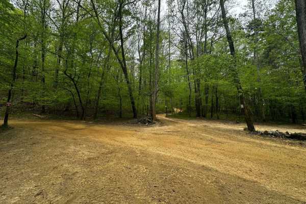
Trail 17
Trail 17 is smooth and groomed and provides access to Trail 15. It's a shortcut to avoid Mammoth Hill and the backside of Trail 4. The last section spits you out onto Trail 4. It's mainly a dirt road that runs beside a steep hill on the right. It's a 2-way trail.
Learn more about Trail 17
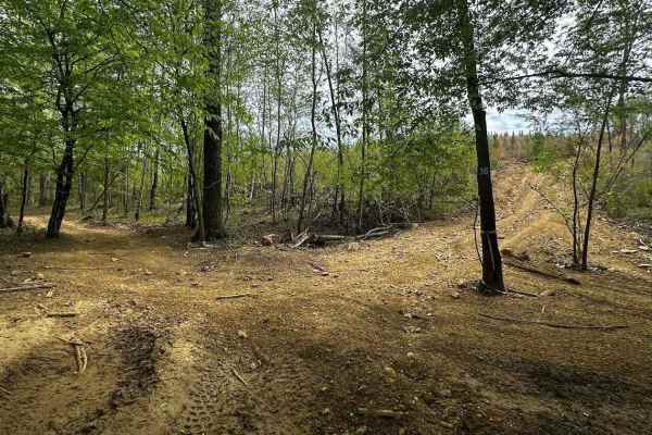
Trail 36 Hill
Trail 36 is one of the new trails in the new trail system. The split is halfway through Trail 36--one section goes left, and the other goes up the hill on the right side. It will spit you out on the Trail 4 and SR 23 intersection. It does have a hill overlook before coming down to Trail 4.
Learn more about Trail 36 Hill

Trail 36
A new trail in the trail system, Trail 36 is split into 2 directions. One goes up a hill and the other goes through Trail 6. There's a lot of mud and dirt on this trail, as well as very thick trees, so the sun does not dry the dirt very much. That's why 50% of the trail is muddy.
Learn more about Trail 36
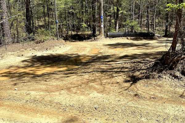
Trail 25
Trail 25 is a 3-mile one-way trail that begins on Trail 4. Trail 25 is a hard-packed trail that is on the milder end of the moderate trails at Carolina Adventure World. The trail provides the challenges of mild hills and some easily navigated ruts. This trail has many shaded areas that keep these pa...
Learn more about Trail 25

Trail 43
Trail 43 is very windy. There is a surplus of right turns and it has a lot of hill climbs and downhills. It is mostly a dirt trail with a lot of thick trees (in summer, it's hard to see on some turns). Trail 43 is a one-way trail and a new trail in the trail system. In the wet season, it will be mud...
Learn more about Trail 43
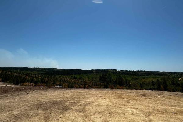
Trail 4
Expect bedrock on some hill climbs. This is mainly a dirt road, with plenty of straightaways and hill climbs. There are two nice overlooks about halfway on the trail, some ruts on the trail (along the hill climbs), and one mud bog beside the trail. The backside of the trail has big holes you can go ...
Learn more about Trail 4
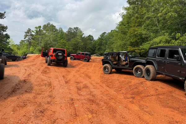
Trail 1
Easy two-way eastern perimeter trail that starts at the Park entrance gate and runs to the southern end of the Park. It provides access to the downhill trails in the center of the park as well as a few easier trails on the eastern side. Watch for oncoming traffic, VERY slick when wet. The East side ...
Learn more about Trail 1
Trail 14
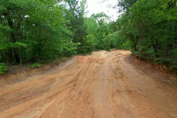
The easiest way to get from the lower River Road area back to the park entrance is. Provides access to Campsite 8 at the bottom, Campsite 10 about halfway up next to the That Dam Trail entrance, and the Shipwreck Trail exit. Also provides access to the Lone Rock trail. Wide, smooth dirt surface trai...
Learn more about Trail 14
Eagle Rock
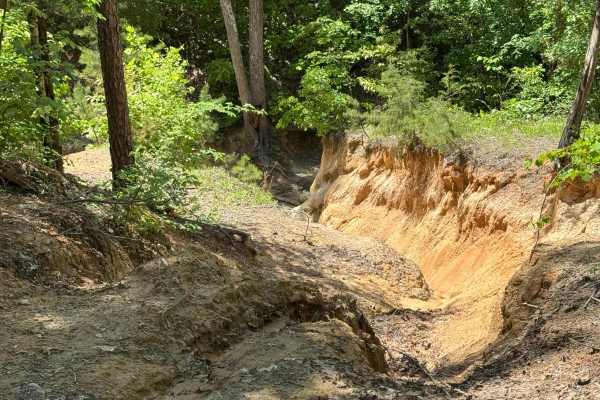
One of the three trails out of the complex. Don't let the exit at the top fool you; it's very rough at the bottom. Part of the way up, look for the boat wreck on the side of the trail. Poor guy tried to retrieve his boat from the lake at the bottom.
Learn more about Eagle Rock
Arrowhead Alley
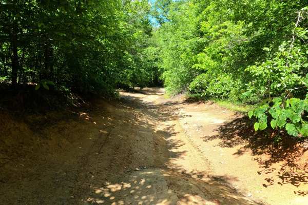
2-way trail where uphill traffic gets the right of way, all day. The surface is dusty when dry and extremely slippery when wet. Near the top of Arrowhead, there is access to the Bowl area as well as to Campsite 13. Along the bottom half, you'll find Papa Gulch and Papa Gulch Bypass.
Learn more about Arrowhead Alley
Cupcake
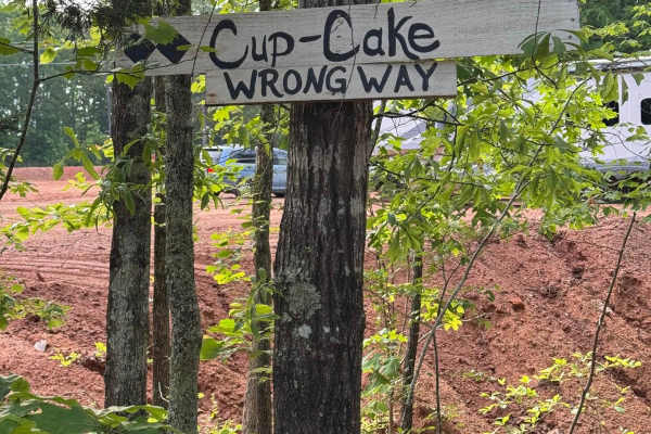
If you just can't wait to get muddy, this short down and back up trail will give you some action while waiting for the rest of your crew to get to the Park. There are several places to drop in and climb back out for your driving pleasure. The first drop-in also leads to private property, so keep on...
Learn more about Cupcake
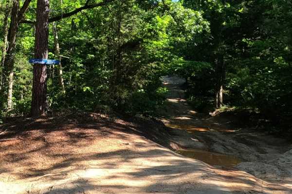
Tornado Alley
Narrow trail that a tornado touched down on several years ago. There is a large buried rock ledge that spans the width of the trail in the top section. Runoff can expose the rock, leaving a sharp drop-off. Keep your eyes open, or a nosebleed could be in your future.
Learn more about Tornado Alley
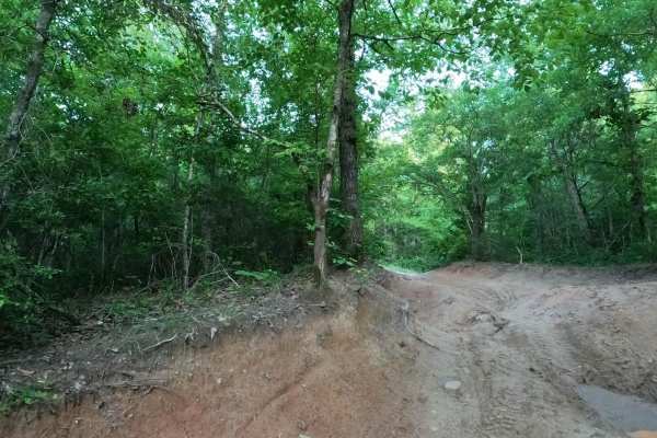
Bill's Flexy Time
If you feel the need to test your sway bar disconnect, this is the place to do it. Alternating ruts near the top end will give your rig a "Flexy" workout. Typically well drained and dry, but holes in the flex section can hold plenty of water after a rainstorm.
Learn more about Bill's Flexy Time
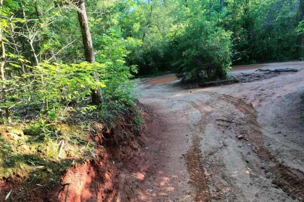
Palmetto Krawler
Off-camber perimeter trail with some advanced or intermediate bypass options. It is the primary access route across the north end of the park and around the far northeast corner. It provides access to many of the moderate trails in the northeast corner. The surface is mostly smooth dirt with severa...
Learn more about Palmetto Krawler
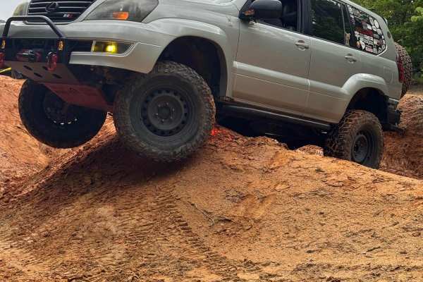
The Bowl
The Bowl is an open area near the top of Arrowhead Alley and next to Campsite 13. It is a dirt play area with mounds, ridges, and gulleys. Tight spaces and slick dirt will give you a chance to test your traction and flex, just keep the painted side up.
Learn more about The Bowl
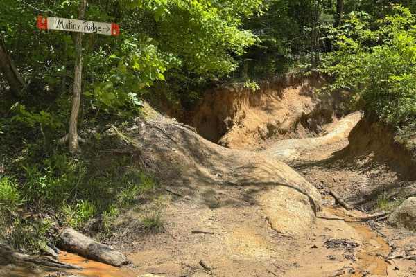
Mutiny Ridge
Once a bypass for Shipwreck, now the 'easy' exit. Mutiny Ridge provides an easier exit for the upper section of Shipwreck. It bears off to the right and traverses over to the upper section of Eagle Rock, which is easier than the lower section. It may look a bit gnarly at the entrance, but it smooth...
Learn more about Mutiny Ridge
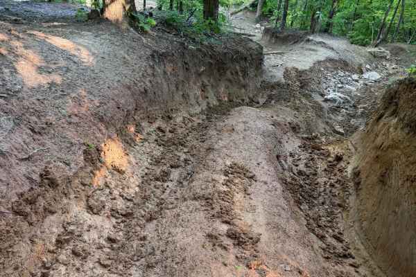
Rebel Boulevard
The fastest way is from the bottom of the hill to the top of the hill, but very challenging on the lower end at intersections with Renegade Alley and Shake and Bake. The lower section also gets and stays, quite muddy and slick. Campsite 14 is along the upper part, where things get easier. Rebel Boul...
Learn more about Rebel Boulevard
ATV trails near Prosperity, South Carolina
Explore ATV-friendly trails near you. These trails are accessible for vehicles up to 50 inches wide, perfect for ATVs and smaller off-road machines.
Cricket Tree Road
This scenic forest trail winds through tall pine trees and sandy terrain, offering a quiet off-road drive surrounded by nature. The surface is mostly sandy and graded, with occasional muddy puddles after rain and scattered pinecones along the path. Gentle curves and narrow sections between trees add...
Learn more about Cricket Tree Road
Trail 29
Trail 29 is not marked. It goes uphill parallel to Trail 4 and has some rough dips and uphill climbs. It is a short trail, an alternative route from Mammoth Hill, and it takes you up to the overlook on Trail 4. It's really narrow in some areas and has a steep climb at the end.
Learn more about Trail 29
Trail 15
Trail 15 is off Trail 17 and loops back to Trail 17 as well. It has steep hill climbs, rocks, and ruts, and will definitely need 4x4. It goes up the Trail 4 overlook and comes back down. The downhill is just as rocky and steep as the uphill. This is part of the black diamond trails in the park. Expe...
Learn more about Trail 15
Trail 17
Trail 17 is smooth and groomed and provides access to Trail 15. It's a shortcut to avoid Mammoth Hill and the backside of Trail 4. The last section spits you out onto Trail 4. It's mainly a dirt road that runs beside a steep hill on the right. It's a 2-way trail.
Learn more about Trail 17
UTV/side-by-side trails near Prosperity, South Carolina
Find UTV and side-by-side trails near you. These trails accommodate vehicles up to 60 inches wide, ideal for UTVs, side-by-sides, and wider off-road rigs.
Cricket Tree Road
This scenic forest trail winds through tall pine trees and sandy terrain, offering a quiet off-road drive surrounded by nature. The surface is mostly sandy and graded, with occasional muddy puddles after rain and scattered pinecones along the path. Gentle curves and narrow sections between trees add...
Learn more about Cricket Tree Road
Trail 29
Trail 29 is not marked. It goes uphill parallel to Trail 4 and has some rough dips and uphill climbs. It is a short trail, an alternative route from Mammoth Hill, and it takes you up to the overlook on Trail 4. It's really narrow in some areas and has a steep climb at the end.
Learn more about Trail 29
Trail 15
Trail 15 is off Trail 17 and loops back to Trail 17 as well. It has steep hill climbs, rocks, and ruts, and will definitely need 4x4. It goes up the Trail 4 overlook and comes back down. The downhill is just as rocky and steep as the uphill. This is part of the black diamond trails in the park. Expe...
Learn more about Trail 15
Trail 17
Trail 17 is smooth and groomed and provides access to Trail 15. It's a shortcut to avoid Mammoth Hill and the backside of Trail 4. The last section spits you out onto Trail 4. It's mainly a dirt road that runs beside a steep hill on the right. It's a 2-way trail.
Learn more about Trail 17
The onX Offroad Difference
onX Offroad combines trail photos, descriptions, difficulty ratings, width restrictions, seasonality, and more in a user-friendly interface. Available on all devices, with offline access and full compatibility with CarPlay and Android Auto. Discover what you're missing today!
Open Trail Map