
Dirt Bike Trails
Near Piedmont, Missouri
Explore All Dirt Bike Trails Near Piedmont, Missouri
Dirt Bike Trails Near Piedmont, Missouri
Discover the best dirt bike trails near you. Browse trail maps, check difficulty ratings, and find your next adventure — whether you're looking for a quick ride or an all-day expedition.
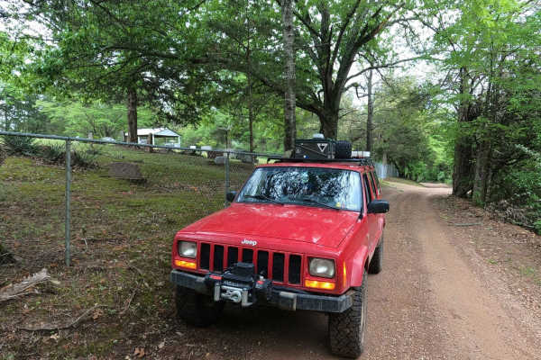
Murphy Cemetery Road
Murphy Cemetery Road, including part of the Reynolds County Road 466, is a coarse gravel road with natural tendencies. It tracks through the southern portion of the Black River Bottoms area within the Clearwater Lake U.S. Army Corps of Engineers, Reynolds County, and "Riverside" Missouri Department ...
Learn more about Murphy Cemetery Road
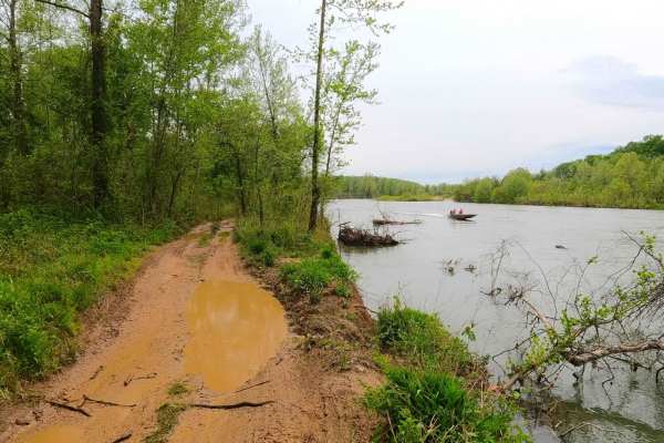
North Riverside
North Riverside Trail is a natural dirt, mud, sand, and small rock trail through the center portion of the Black River Bottoms area within the Clearwater Lake U.S. Army Corps of Engineer Land. The name "North Riverside Trail" is due to the proximity to the Black River being within feet of the water-...
Learn more about North Riverside
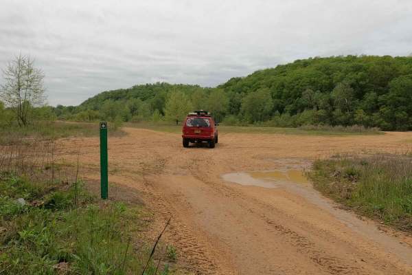
South Riverside
South Riverside Trail is a natural dirt, mud, sand, and small rock trail through the southern portion of the Black River Bottoms area within the Clearwater Lake U.S. Army Corps of Engineer Land. The name "South Riverside Trail" is due to the proximity to the Black River, being within feet of the wat...
Learn more about South Riverside
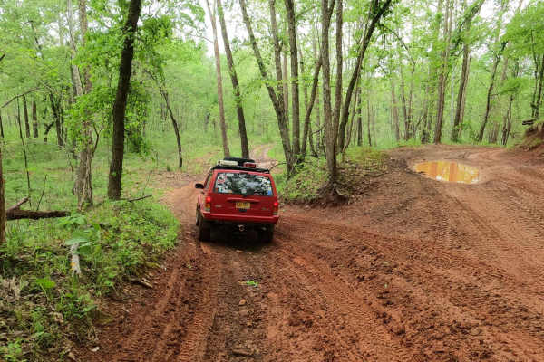
Well Hollow
Well Hollow Trail is a coarse gravel and natural dirt/mud/clay trail through the southern portion of the Black River Bottoms area within the Clearwater Lake U.S. Army Corps of Engineer Land. This is the southern gateway to the Riverside Depths of the area, starting off leaving the Dafron Hollow Trai...
Learn more about Well Hollow
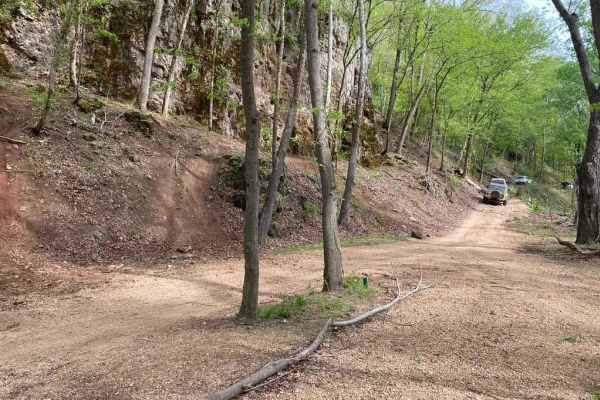
Dafron Hollow Trail
Dafron Hollow Trail, or Reynolds County Road 462, is a coarse gravel road transforming to a natural dirt/mud and small rock trail through the southern portion of the Black River Bottoms area within the Clearwater Lake U.S. Army Corps of Engineer Land. The trail ultimately starts as the Reynolds CR 4...
Learn more about Dafron Hollow Trail
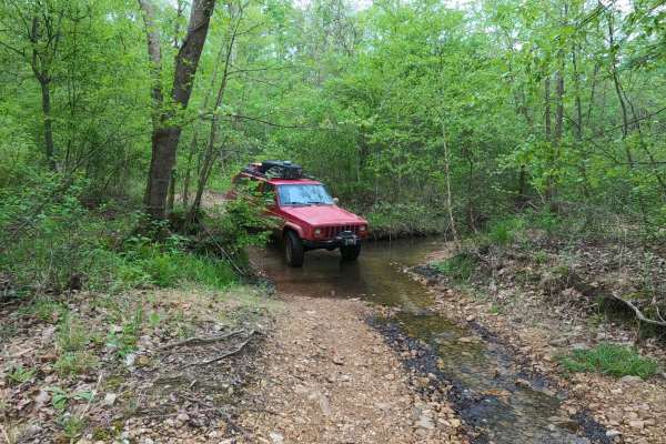
Dafron Branch Trail
Dafron Branch Trail (Reynolds County Road 462) is a dirt mixed with natural rock trail that transforms into a coarse gravel creek bottom trail, tracking through the center portion of the Black River Bottoms area within the Clearwater Lake U.S. Army Corps of Engineer Land. The trail has a diversity o...
Learn more about Dafron Branch Trail
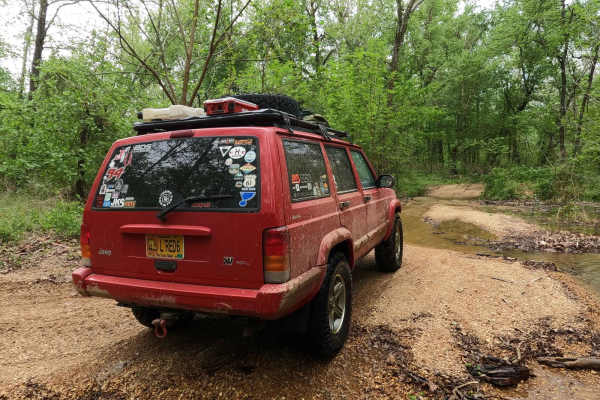
Central Riverside Connector
Central Riverside Connector is a coarse gravel and natural dirt/mud trail through the center portion of the Black River Bottoms area within the Clearwater Lake U.S. Army Corps of Engineer Land. The Central Riverside Connector is so named because it connects the midway points of the North Riverside T...
Learn more about Central Riverside Connector
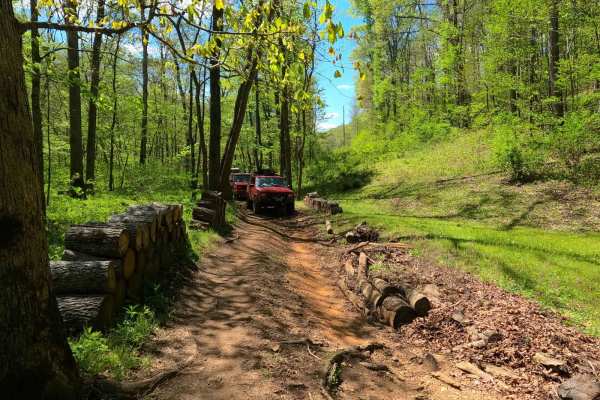
Stacked Log Trail
Stacked Log Trail, also known as the Spool Bypass or Reynolds County Road 458, is a half coarse gravel road, half natural dirt/small rock trail through the north central portion of the Black River Bottoms area within the Clearwater Lake U.S. Army Corps of Engineer Land. Stacked Log starts at the Cen...
Learn more about Stacked Log Trail
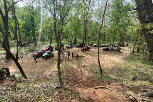
Central Bluffs Trail
Central Bluffs Trail, or Black River Bottoms Central Hub, consists of parts of the Reynolds County Roads 462 and 464 and is a dirt/sand mix and natural creek-bottom rock trail through the center portion of the Black River Bottoms area within the Clearwater Lake U.S. Army Corps of Engineer Land. The ...
Learn more about Central Bluffs Trail
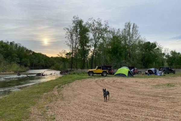
Whizenhunt Bottoms
Whizenhunt Bottoms, also known as Whizenhunt Hollow Trail or simply The Bottoms, is a natural creek/river rock, sand, and dirt, with wooded trails leading to roughly 115 acres of open area along the Riverside Depths route of the Black River Bottoms area within the Clearwater Lake U.S. Army Corps of ...
Learn more about Whizenhunt Bottoms
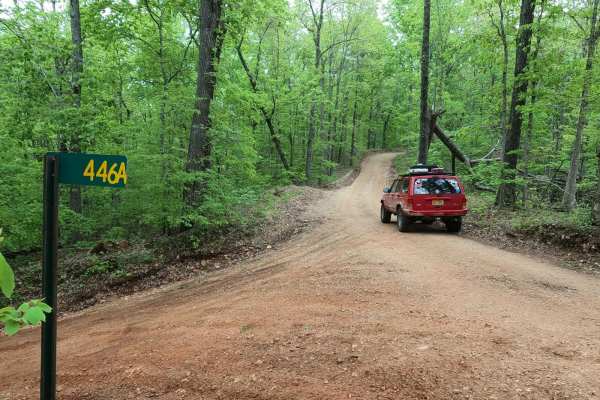
Long Ridge Road
Long Ridge Road (Reynolds County Road 462 and Iron County Road 151) is a coarse gravel county road providing access to the northeast portion of the Black River Bottoms area within the Clearwater Lake U.S. Army Corps of Engineer Land. The road starts from Missouri Route-BB, 0.1 miles east of the Funk...
Learn more about Long Ridge Road
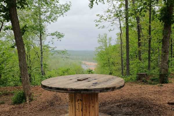
Spool Ridge Trail
Spool Ridge Trail, or simply The Spool Trail, is a natural dirt/coarse gravel and small rock trail through the north center portion of the Black River Bottoms area within the Clearwater Lake U.S. Army Corps of Engineer Land. The Spool Trail rides ridge tops overlooking the Black River below, trackin...
Learn more about Spool Ridge Trail
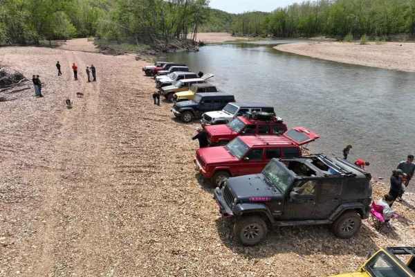
Funk Branch Delta
Funk Branch Delta Trail, or Funk Shore Access, is a coarse creek gravel and dirt/mud trail through the northern portion of the Black River Bottoms area within the Clearwater Lake U.S. Army Corps of Engineer Land. The trail is an in/out track that features an entry point off the creek bottom section ...
Learn more about Funk Branch Delta
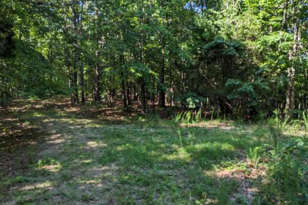
East Kelly Ridge
East Kelly Ridge, designated as Forest Service Road 3077 branching off from Kelly Ridge, offers a journey through well-maintained gravel paths. In the summer, parts of the trail may be partially obscured by tall grass growth. Expect narrow sections along the route that may leave pinstripes on vehicl...
Learn more about East Kelly Ridge
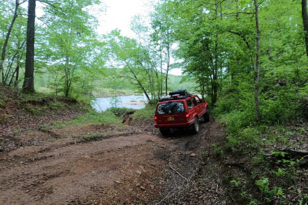
Mann Cemetery Road
Mann Cemetery Road, or Reynolds County Road 456, is a coarse gravel road transforming to a natural dirt road in the northern portion of the Black River Bottoms area within the Clearwater Lake U.S. Army Corps of Engineer Land. This road features views of the valley surrounded by the rolling hills of ...
Learn more about Mann Cemetery Road
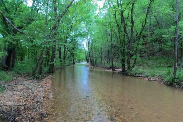
Hackworth Hollow Trail
Hackworth Hollow Trail, also known locally as part of Funk Branch Road or Reynolds County Road 446A, is a coarse gravel road transforming to a creek bottom road and back to a coarse gravel road through the northern portion of the Black River Bottoms area within the Clearwater Lake U.S. Army Corps of...
Learn more about Hackworth Hollow Trail
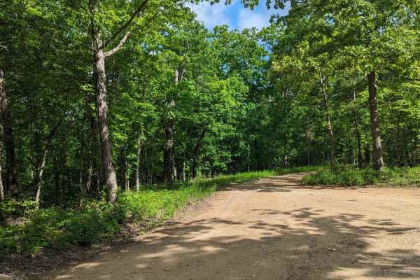
FSR 3136- Brown's Ridge
FSR 3136 is a well-maintained Forest Service road with a gravel surface. This trail winds through the dense forest and offers the chance to see wildlife such as deer, turkey, turtles, etc. At the end of this trail, there is an open area large enough for 1-2 vehicles to camp. The trail is easy enough...
Learn more about FSR 3136- Brown's Ridge
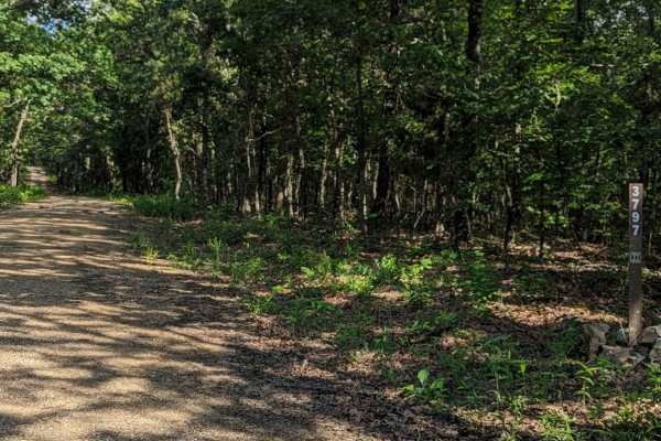
Little Brushy Ridge
Little Brushy Ridge (FSR 3797) is a forest service road branching off Kelly Ridge (FSR 3075). Initially, it is a well-maintained gravel road for the first 3/4 of the trail, suitable for all vehicle types without concern. At this point, an open area appears where the trail veers to the right. This ar...
Learn more about Little Brushy Ridge
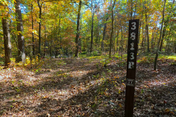
Prospect B - FS 3813B
Prospect B (FS 3813B) is a low-standard natural gravel and dirt forest service road within the Poplar Bluff Unit of Mark Twain National Forest. The road heads south from the New Prospect (FS 3813), featuring mild grade changes, as the road surface fades quickly from maintained gravel into natural co...
Learn more about Prospect B - FS 3813B
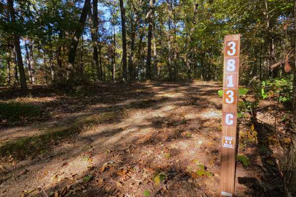
Prospect C - FS 3813C
Prospect C (FS 3813C) is a low-standard natural gravel and dirt forest service road, within the Poplar Bluff Unit of Mark Twain National Forest. The road begins at the intersection with the New Prospect FS 3813 and Prospect B (FS 3813B), where Prospect C continues eastward, gradually going downhill,...
Learn more about Prospect C - FS 3813C
ATV trails near Piedmont, Missouri
Explore ATV-friendly trails near you. These trails are accessible for vehicles up to 50 inches wide, perfect for ATVs and smaller off-road machines.
Murphy Cemetery Road
Murphy Cemetery Road, including part of the Reynolds County Road 466, is a coarse gravel road with natural tendencies. It tracks through the southern portion of the Black River Bottoms area within the Clearwater Lake U.S. Army Corps of Engineers, Reynolds County, and "Riverside" Missouri Department ...
Learn more about Murphy Cemetery Road
North Riverside
North Riverside Trail is a natural dirt, mud, sand, and small rock trail through the center portion of the Black River Bottoms area within the Clearwater Lake U.S. Army Corps of Engineer Land. The name "North Riverside Trail" is due to the proximity to the Black River being within feet of the water-...
Learn more about North Riverside
South Riverside
South Riverside Trail is a natural dirt, mud, sand, and small rock trail through the southern portion of the Black River Bottoms area within the Clearwater Lake U.S. Army Corps of Engineer Land. The name "South Riverside Trail" is due to the proximity to the Black River, being within feet of the wat...
Learn more about South Riverside
Well Hollow
Well Hollow Trail is a coarse gravel and natural dirt/mud/clay trail through the southern portion of the Black River Bottoms area within the Clearwater Lake U.S. Army Corps of Engineer Land. This is the southern gateway to the Riverside Depths of the area, starting off leaving the Dafron Hollow Trai...
Learn more about Well Hollow
UTV/side-by-side trails near Piedmont, Missouri
Find UTV and side-by-side trails near you. These trails accommodate vehicles up to 60 inches wide, ideal for UTVs, side-by-sides, and wider off-road rigs.
Murphy Cemetery Road
Murphy Cemetery Road, including part of the Reynolds County Road 466, is a coarse gravel road with natural tendencies. It tracks through the southern portion of the Black River Bottoms area within the Clearwater Lake U.S. Army Corps of Engineers, Reynolds County, and "Riverside" Missouri Department ...
Learn more about Murphy Cemetery Road
North Riverside
North Riverside Trail is a natural dirt, mud, sand, and small rock trail through the center portion of the Black River Bottoms area within the Clearwater Lake U.S. Army Corps of Engineer Land. The name "North Riverside Trail" is due to the proximity to the Black River being within feet of the water-...
Learn more about North Riverside
South Riverside
South Riverside Trail is a natural dirt, mud, sand, and small rock trail through the southern portion of the Black River Bottoms area within the Clearwater Lake U.S. Army Corps of Engineer Land. The name "South Riverside Trail" is due to the proximity to the Black River, being within feet of the wat...
Learn more about South Riverside
Well Hollow
Well Hollow Trail is a coarse gravel and natural dirt/mud/clay trail through the southern portion of the Black River Bottoms area within the Clearwater Lake U.S. Army Corps of Engineer Land. This is the southern gateway to the Riverside Depths of the area, starting off leaving the Dafron Hollow Trai...
Learn more about Well Hollow
The onX Offroad Difference
onX Offroad combines trail photos, descriptions, difficulty ratings, width restrictions, seasonality, and more in a user-friendly interface. Available on all devices, with offline access and full compatibility with CarPlay and Android Auto. Discover what you're missing today!
Open Trail Map