Trail Overview
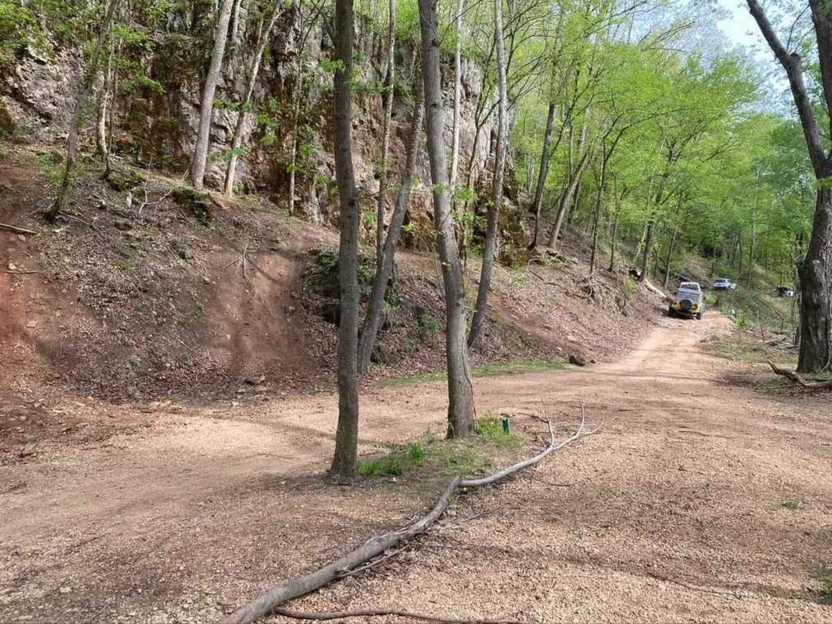
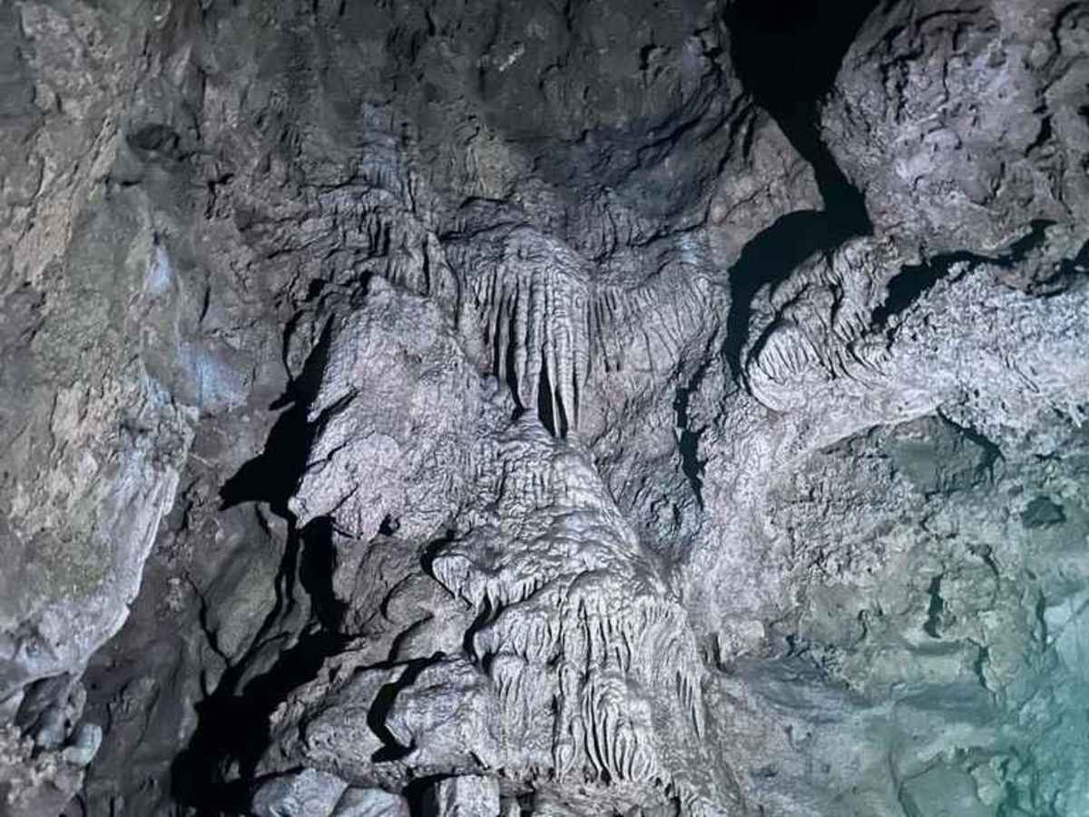
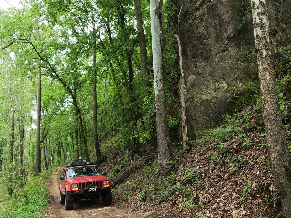
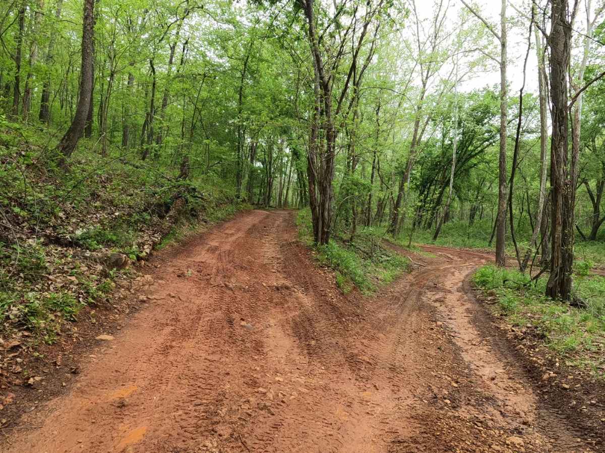
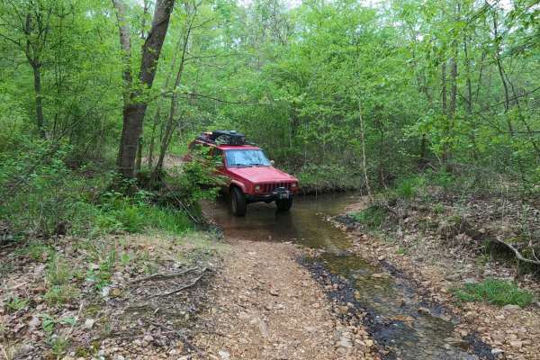
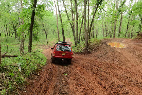
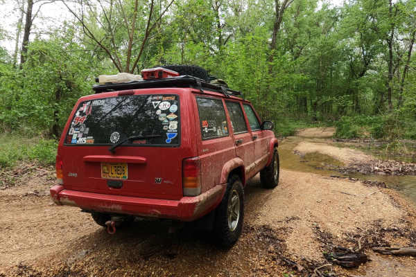
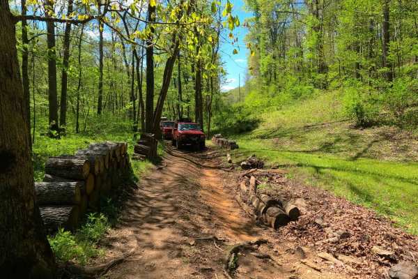
Dafron Hollow Trail, or Reynolds County Road 462, is a coarse gravel road transforming to a natural dirt/mud and small rock trail through the southern portion of the Black River Bottoms area within the Clearwater Lake U.S. Army Corps of Engineer Land. The trail ultimately starts as the Reynolds CR 462, a rough standard gravel road, climbing up one of the large hills in the area before heading back down into the lowland valley, where the trail has a well-defined 90-degree turn. This is the point where the trail quickly transforms into a mostly one-lane-wide natural trail with features such as waterholes, mud, red clay, coarse loose rock and cobbles, tree roots, and natural rock sticking out at the surface, along the way passing the Well Hollow Trail at 37.26157, -90.76436. The trail ultimately ends at one of the most notable areas within the bottoms, Dafron Hollow, featuring a hillside rock bluff with two caves at 37.26501, -90.76713 and a flat valley parking area known for hanging out and meeting with people. It's also the connection point with the Central Bluffs Trail and Dafron Branch Trail. It's a great trail to give a spectrum of the area's terrain and an excellent start, break, or end to a day within the Black River Bottoms. The locals will tell you that the name is correctly pronounced Daff-Ren.
Difficulty
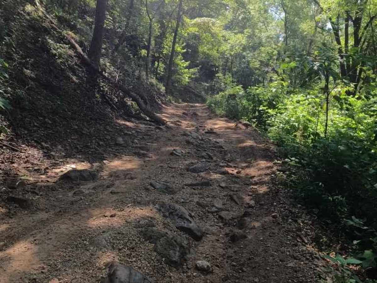
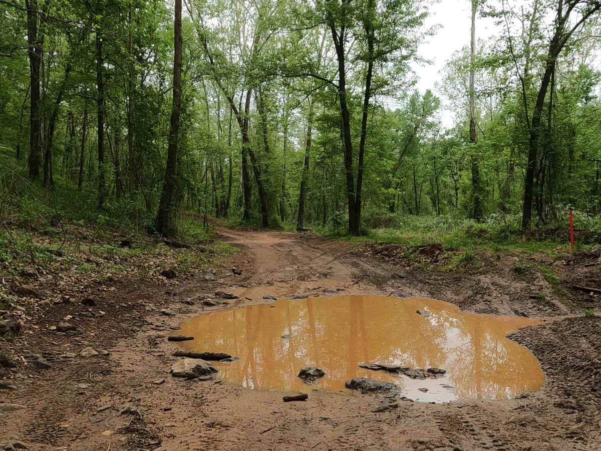
The Dafron Hollow Trail in an average state has a range of ratings on display. It starts at a 1/10 with the southern gravel Reynolds County road climbing a steep grade. It shifts towards the 3/10 rated natural dirt and coarse gravel surface trail, featuring mud and red clay, 6- to 12-inch deep hard-bottomed water holes, deeper soft bottom mudholes in the valley bottoms, and a variety of loose 4- to 10-inch rock cobbles, hard natural rocks, and large tree roots sticking out at the surface level up to 12 inches, creating small obstacles. The biggest spots to note giving the 4/10 rating to the trail are the harder lines featuring soft-bottomed mudholes with a solid 18-inch+ depth. The trail could yield an easier rating if the deep mudholes were to be mended or drained, or when the area gets mostly dry in deep summer. If in doubt, probe the holes out to confirm depth and softness. The difficulty can also increase after heavy use, during overly wet seasons, or in rainy conditions, and could be closed on the northern (at Dafron Hollow) end of the trail at a moderate and higher flood stage. If so, don't enter the flood zone, as the flooded water section would become unpredictable and reshaped by the water.
History
The history surrounding the bottoms is one of fighting for public access. This is an example where the presence and public use of Reynolds County Roads 464, 462, 460, 458, 456, 446A, and more have been the driving force keeping these trails open. Locals refuse to let their historic roads be taken away, yielding a place we all can enjoy and use. Please do your part in keeping this place alive; pack it in/pack it out, follow the green and red route markers as marked, and don't drive in the Black River or form new trails.