
Dirt Bike Trails
Near Oak Ridge, Missouri
Explore All Dirt Bike Trails Near Oak Ridge, Missouri
Dirt Bike Trails Near Oak Ridge, Missouri
Discover the best dirt bike trails near you. Browse trail maps, check difficulty ratings, and find your next adventure — whether you're looking for a quick ride or an all-day expedition.
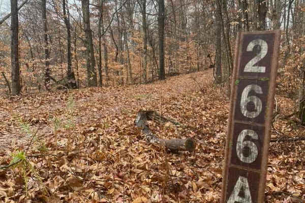
N Hamburg Hill Spur
The N Hamburg Hill Spur 266AA, within Shawnee National Forest, is a trail that once was traversable by full-width vehicles, but in its current state should only be trekked by dirt bikes and 4-wheelers, within the first .1 mile there is a turnaround/parking area to unload, but from there on, the trai...
Learn more about N Hamburg Hill Spur
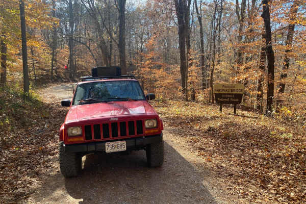
Natural Bridge Road
This is a maintained gravel road with an occasional flat natural rock sticking up in the middle of the road. This trail features beautiful tall pines and areas you can see for miles. The road leads up a steep grade that may include washboards and mild washes when the season is wet and conditions are...
Learn more about Natural Bridge Road
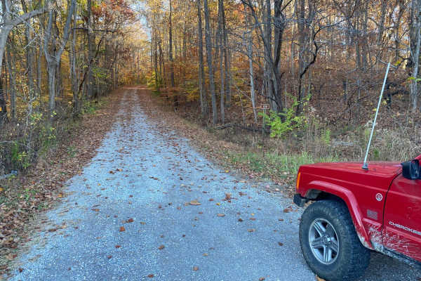
McCraven SFR 220
McCraven SFR 220 is a very scenic nature-viewing gravel road in Shawnee National Forest. It is a very easy trail with a minimal challenge, but there are a few muddy crossings and water collection spots within its medium-grade graveled hills. It also features a couple of branch trails, the SFR 504 an...
Learn more about McCraven SFR 220
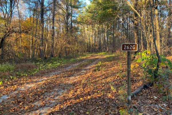
Slick Ridge FSR 262G
The Slick Ridge FSR 262G is a mildly challenging natural fire road that has the reward of a great view of Shawnee National Forest. It features an off-camber eroded section that will test your articulation and clearances. It runs you through several small mud holes and a small grade with tree roots. ...
Learn more about Slick Ridge FSR 262G
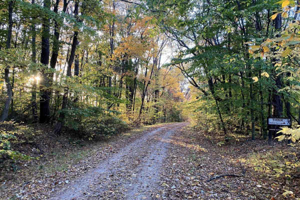
Gale Trail Road FSR 272
Gale Trail Road (or the 272) is a Shawnee Nation Forest gravel nature viewing trail that has slowly degraded into a trail that gives a challenge, yet remains scenic. The farther west you go, the less maintained and tighter it gets. Expect ruts, medium-grade hills, occasional mud pits, and split-up s...
Learn more about Gale Trail Road FSR 272
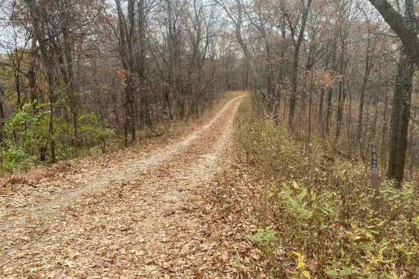
Bull Durham SFR 642
The Bull Durham SFR 642 is a branch trail of the Opossum Trot Trail System in Shawnee National Forest. The Bull Durham is quick to thrill with not much time in between its obstacles, it features a rutted hill within .2 mile of the entrance, followed by small mud puddles. Then, leading to a rutted co...
Learn more about Bull Durham SFR 642
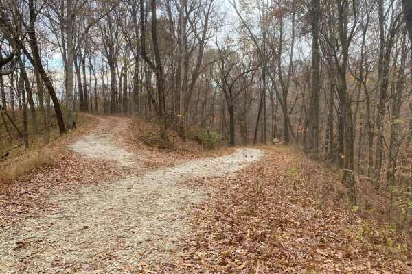
Turkey Trot FSR 627/643
The Turkey Trot (FSR 627) and FSR 643 are two trails that seamlessly connect to form one 2-mile trail inside the Opossum Trot Road trail system inside Shawnee National Forest. These trails together range from mild to hard. It starts with narrow rutted ridges with small mud pits and off-camber eroded...
Learn more about Turkey Trot FSR 627/643
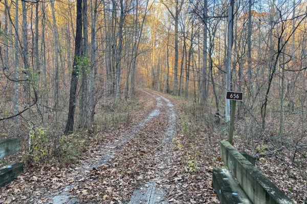
Honey School Road SFR 656/656C
The Honey School Road (SFR 656 & 656C) is a forestry trial in Shawnee National Forest that leads to an old fire tower plot and then loops back to the main road it is connected to, which is Wolf Creek Road, in its own right is a very scenic gravel forestry road. The 656 section is a maintained gravel...
Learn more about Honey School Road SFR 656/656C
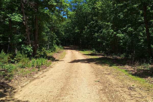
Miller Chapel FSR 2501
This trail starts as an unmaintained trail, light gravel/dirt, and turns into an all-dirt road. Along this road, you will not only have a beautiful drive through the woods but will also be welcomed with much wildlife. Towards the end of this trail, you will come to multiple water/mud holes of unknow...
Learn more about Miller Chapel FSR 2501
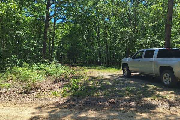
South Windy FSR 3304
This trail starts as a light gravel/dirt two-track. About 100 feet in is an uphill section with shallow washouts. As you get to the top of the hill, it becomes a little soft. Some of this road will be slightly overgrown as well. There is a little cut-out that would make a good campsite. As you conti...
Learn more about South Windy FSR 3304

Central School FSR 2100
This road is the start and continuation of Central Pond FSR 2144. This road starts with a small creek crossing and continues uphill with a shallow rutted road. At the top of the hill, it opens up and it is a beautiful drive on top of the hills. There are a couple of small cutouts that would make goo...
Learn more about Central School FSR 2100
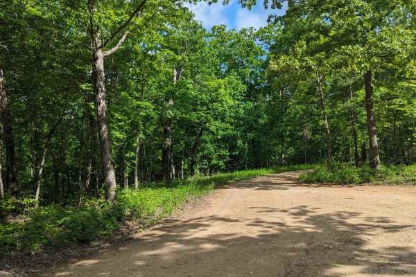
FSR 3136- Brown's Ridge
FSR 3136 is a well-maintained Forest Service road with a gravel surface. This trail winds through the dense forest and offers the chance to see wildlife such as deer, turkey, turtles, etc. At the end of this trail, there is an open area large enough for 1-2 vehicles to camp. The trail is easy enough...
Learn more about FSR 3136- Brown's Ridge
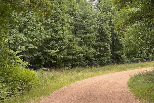
CR 404 Crane
This is a scenic route from Highway 49 to Crane Lake Recreation Area. Enjoy the ride; it'll be moderate (weather may affect some areas, so watch for downed trees or potential water on the road). When you arrive at Crane Lake, make sure you check out the boat dock-an awesome spot to have a lunch brea...
Learn more about CR 404 Crane
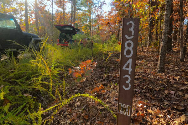
Fox Trot - FS 3843
Fox Trot (FS 3843) is a semi-maintained gravel Forest Service road within the Poplar Bluff Unit of Mark Twain National Forest. Fox Trot takes off from the Wayne County 403 heading west towards the Otter Creek Valley, following the small elevation changes of the lower spines of the ridge, passing by ...
Learn more about Fox Trot - FS 3843
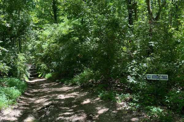
Old Boundary Trail
The Old Boundary Trail can be accessed through the Amax Trail, Roller Coaster Trail, Pallet Trail, and a few other tertiary routes. This trail was the former southern boundary of our park until the property expansion. It traverses through a portion of rolling hills, with some level spots periodicall...
Learn more about Old Boundary Trail
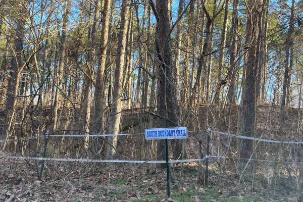
South Boundary Trail
The South Boundary Trail is one of the longest routes at the park. This trail can be accessed at the south end of the Rolling Hills trail and traverses along the park boundary to the east side of Old Highway 13. There is a large mixture of terrain, from small and large rocks to steep hills and deep ...
Learn more about South Boundary Trail
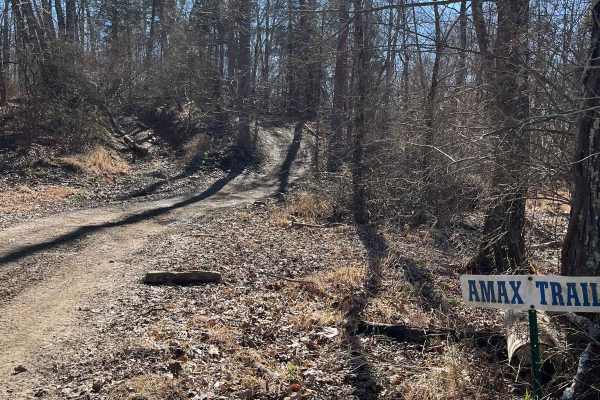
Amax Trail
The Amax Trail can be seen from the main gate to Little Egypt Off Road and is the westernmost main trail on the property. It traverses from alongside Old Route 13 to the Boundary Trail on the south end. The Amax Trail overlooks the creek bottoms that make up the southwest corner of the property, a g...
Learn more about Amax Trail
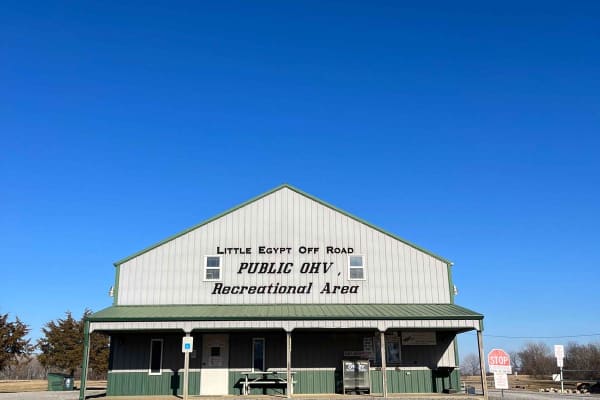
Little Egypt Off-Road OHV Park Entrance
Welcome to Little Egypt Off-Road OHV Park! Our hours of operation are 8 AM to 5 PM on Saturdays and Sundays, including most holidays. We offer over 50 miles of trails, from beginner access roads to challenging single-track, extending throughout our roughly 1000-acre park. Side-by-sides, ATVs, and d...
Learn more about Little Egypt Off-Road OHV Park Entrance
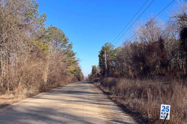
Old Highway 13
At Little Egypt Off Road, there's a 1.5-mile portion of the former Illinois Highway 13. This is one of the main access routes throughout the property, as it stretches the entire width of the park. The main feature of this route is the overpass across the Amax Haul Road. When following this road from...
Learn more about Old Highway 13
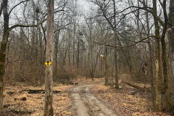
Family Trail
The Family Trail is a combination route of most of our main attractions in the park, without the extreme terrain on some of the tertiary routes. This route can be accessed at many locations but begins by our park entrance. The purpose of this trail is to provide a route for all ages of riders to enj...
Learn more about Family Trail
ATV trails near Oak Ridge, Missouri
Explore ATV-friendly trails near you. These trails are accessible for vehicles up to 50 inches wide, perfect for ATVs and smaller off-road machines.
N Hamburg Hill Spur
The N Hamburg Hill Spur 266AA, within Shawnee National Forest, is a trail that once was traversable by full-width vehicles, but in its current state should only be trekked by dirt bikes and 4-wheelers, within the first .1 mile there is a turnaround/parking area to unload, but from there on, the trai...
Learn more about N Hamburg Hill Spur
Natural Bridge Road
This is a maintained gravel road with an occasional flat natural rock sticking up in the middle of the road. This trail features beautiful tall pines and areas you can see for miles. The road leads up a steep grade that may include washboards and mild washes when the season is wet and conditions are...
Learn more about Natural Bridge Road
McCraven SFR 220
McCraven SFR 220 is a very scenic nature-viewing gravel road in Shawnee National Forest. It is a very easy trail with a minimal challenge, but there are a few muddy crossings and water collection spots within its medium-grade graveled hills. It also features a couple of branch trails, the SFR 504 an...
Learn more about McCraven SFR 220
Slick Ridge FSR 262G
The Slick Ridge FSR 262G is a mildly challenging natural fire road that has the reward of a great view of Shawnee National Forest. It features an off-camber eroded section that will test your articulation and clearances. It runs you through several small mud holes and a small grade with tree roots. ...
Learn more about Slick Ridge FSR 262G
UTV/side-by-side trails near Oak Ridge, Missouri
Find UTV and side-by-side trails near you. These trails accommodate vehicles up to 60 inches wide, ideal for UTVs, side-by-sides, and wider off-road rigs.
Natural Bridge Road
This is a maintained gravel road with an occasional flat natural rock sticking up in the middle of the road. This trail features beautiful tall pines and areas you can see for miles. The road leads up a steep grade that may include washboards and mild washes when the season is wet and conditions are...
Learn more about Natural Bridge Road
McCraven SFR 220
McCraven SFR 220 is a very scenic nature-viewing gravel road in Shawnee National Forest. It is a very easy trail with a minimal challenge, but there are a few muddy crossings and water collection spots within its medium-grade graveled hills. It also features a couple of branch trails, the SFR 504 an...
Learn more about McCraven SFR 220
Slick Ridge FSR 262G
The Slick Ridge FSR 262G is a mildly challenging natural fire road that has the reward of a great view of Shawnee National Forest. It features an off-camber eroded section that will test your articulation and clearances. It runs you through several small mud holes and a small grade with tree roots. ...
Learn more about Slick Ridge FSR 262G
Gale Trail Road FSR 272
Gale Trail Road (or the 272) is a Shawnee Nation Forest gravel nature viewing trail that has slowly degraded into a trail that gives a challenge, yet remains scenic. The farther west you go, the less maintained and tighter it gets. Expect ruts, medium-grade hills, occasional mud pits, and split-up s...
Learn more about Gale Trail Road FSR 272
The onX Offroad Difference
onX Offroad combines trail photos, descriptions, difficulty ratings, width restrictions, seasonality, and more in a user-friendly interface. Available on all devices, with offline access and full compatibility with CarPlay and Android Auto. Discover what you're missing today!
Open Trail Map