
Dirt Bike Trails
Near New Salisbury, Indiana
Explore All Dirt Bike Trails Near New Salisbury, Indiana
Dirt Bike Trails Near New Salisbury, Indiana
Discover the best dirt bike trails near you. Browse trail maps, check difficulty ratings, and find your next adventure — whether you're looking for a quick ride or an all-day expedition.
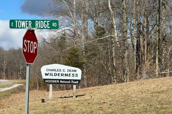
Tower Ridge Road
Tower Ridge Road is a rough gravel road best traveled with AWD SUV's and 4x4 vehicles. It is off Highway 446, south of Lake Monroe, which is south of Bloomington, Indiana. This scenic road goes through the Charles C. Deam Wilderness area, which is overseen by the U.S. Forest Service, Hoosier Nationa...
Learn more about Tower Ridge Road
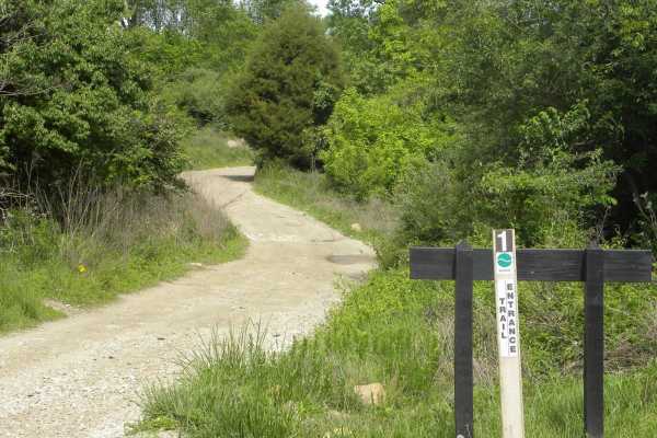
Trail 1
Trail 1 is the main access trail in the Interlake Off-Road State Recreation Area and is a loop that starts/stops at the first parking area inside the park. It is mostly rock/hard pack and can be traveled in about any weather. There are several other trails off to the sides of varying difficulty, as ...
Learn more about Trail 1
Trail 5 BF Goodrich Trail
Trail 5 BF Goodrich Trail is an ideal route for stock four-wheel-drive vehicles, SxSs, and families seeking a scenic, gentle offroad adventure through the wooded terrain of Interlake State Recreation Area. Spanning approximately one mile, this trail offers rolling dirt hills and small mudholes that ...
Learn more about Trail 5 BF Goodrich Trail
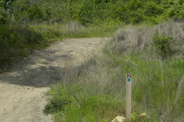
Trail 2
Trail 2 is the northern loop of easy trails. The trail varies from rocky, to road-like gravel, to mud. It connects to some of the more difficult trails and northern challenge areas in the off-road. There is an extension off Trail 2 to access the more difficult trails, 2B and 2C. The trail wanders on...
Learn more about Trail 2
6A &6B loop
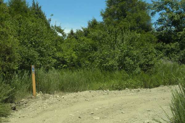
This enjoyable roller coaster like loop trail is just off Trail 1 not far from the parking lot. It starts at the Trail 6 sign, then takes a one-way trail, 6A. That will end with an easy out (not included in submission) or continue to another one-way trail, 6B. It makes a loop trail with some tigh...
Learn more about 6A &6B loop
Trail 1A
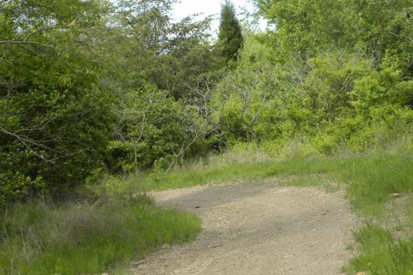
An easy bypass to some hills and ravines of Trail 1, Trail 1A provides access to Trail 4 for dirt bikes and horses. Part of the trail is a former haul road from when Interlake was a coal mine. It's mostly rock, doesn't see much traffic, and is only 0.31 miles.
Learn more about Trail 1A
Trail 2E(intermediate)
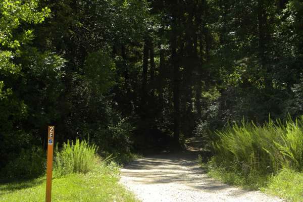
Trail 2E(intermediate) is a marked path that goes through one of the park's prime challenge areas in a wooded area. There is also another trail, 2E(the most difficult), so watch the posted signs. The challenge area consists of short steep climbs, mudholes, and navigating through the trees. The tra...
Learn more about Trail 2E(intermediate)
Trail 2D(easy)
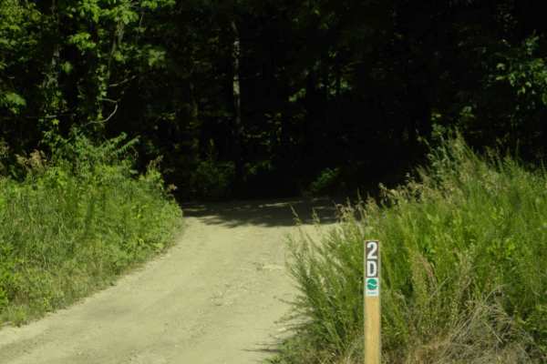
Trail 2D(Easy) is an easy-rated loop trail off the main loop for this area of the park, Trail 2. Trail 2D(easy) is a wooded section that shares an area with an ATV-only trail marked as 2D(intermediate). The trail goes around the perimeter of a challenge area with some short steep climbs and larger...
Learn more about Trail 2D(easy)
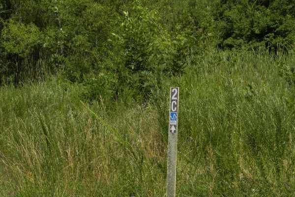
Trail 2C(intermediate)
Trail 2C(intermediate) trail is a marked trail that shares a section of challenge area of the park with a 2C(difficult) trail which goes through a bunch of mudholes and is harder to navigate through the trees. It is in a wooded section of mostly hard pack dirt and mud with the challenge areas havin...
Learn more about Trail 2C(intermediate)
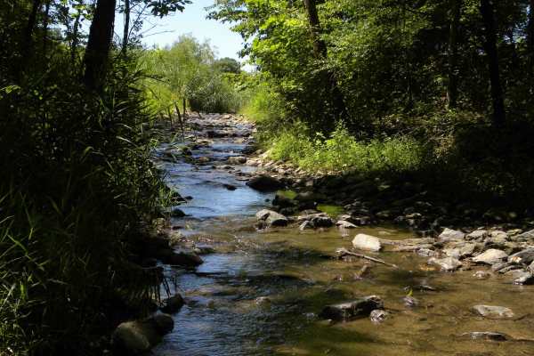
Trail 2B
This is a popular scenic trail off a short dead-end spur of Trail 2. Signed as an intermediate trail, it winds through the woods and runs along a scenic stream. The trail's surface is mostly a combination of dirt and rock. In wet conditions, it can become muddy and slick.
Learn more about Trail 2B
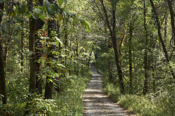
Ugly Creek - Mammoth Cave NP
Ugly Creek Road is a 3.5-mile one-way trail that is located within Mammoth Cave National Park. The trail begins off Green River Ferry Road (1352) and ends on Dennison Ferry Road. The trail can be run in either direction; however, there is a possible impassable water crossing closer to the Green Rive...
Learn more about Ugly Creek - Mammoth Cave NP
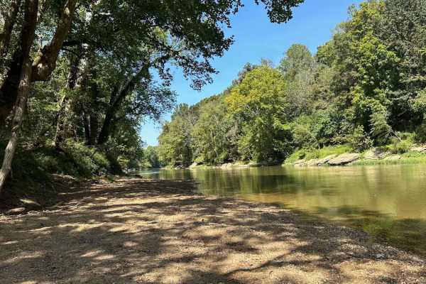
River Beach Access
The trail follows along the edge of a field before dropping down by the water's edge. You may encounter a few small mud holes on your way. The beach is rocky and big enough to fit several vehicles. There are optional steep climbs to return to the main trail if you want a challenge.
Learn more about River Beach Access
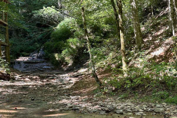
Waterfall Trail
This section of the trail takes you back to a scenic waterfall. The trail winds around a ridge with some tight turns but is not technical in nature. The waterfall is a cascade type that you can climb and is a great place to take photos or eat a light lunch.
Learn more about Waterfall Trail
ATV trails near New Salisbury, Indiana
Explore ATV-friendly trails near you. These trails are accessible for vehicles up to 50 inches wide, perfect for ATVs and smaller off-road machines.
Tower Ridge Road
Tower Ridge Road is a rough gravel road best traveled with AWD SUV's and 4x4 vehicles. It is off Highway 446, south of Lake Monroe, which is south of Bloomington, Indiana. This scenic road goes through the Charles C. Deam Wilderness area, which is overseen by the U.S. Forest Service, Hoosier Nationa...
Learn more about Tower Ridge Road
Trail 1
Trail 1 is the main access trail in the Interlake Off-Road State Recreation Area and is a loop that starts/stops at the first parking area inside the park. It is mostly rock/hard pack and can be traveled in about any weather. There are several other trails off to the sides of varying difficulty, as ...
Learn more about Trail 1
Trail 5 BF Goodrich Trail
Trail 5 BF Goodrich Trail is an ideal route for stock four-wheel-drive vehicles, SxSs, and families seeking a scenic, gentle offroad adventure through the wooded terrain of Interlake State Recreation Area. Spanning approximately one mile, this trail offers rolling dirt hills and small mudholes that ...
Learn more about Trail 5 BF Goodrich Trail
Trail 2
Trail 2 is the northern loop of easy trails. The trail varies from rocky, to road-like gravel, to mud. It connects to some of the more difficult trails and northern challenge areas in the off-road. There is an extension off Trail 2 to access the more difficult trails, 2B and 2C. The trail wanders on...
Learn more about Trail 2
UTV/side-by-side trails near New Salisbury, Indiana
Find UTV and side-by-side trails near you. These trails accommodate vehicles up to 60 inches wide, ideal for UTVs, side-by-sides, and wider off-road rigs.
Tower Ridge Road
Tower Ridge Road is a rough gravel road best traveled with AWD SUV's and 4x4 vehicles. It is off Highway 446, south of Lake Monroe, which is south of Bloomington, Indiana. This scenic road goes through the Charles C. Deam Wilderness area, which is overseen by the U.S. Forest Service, Hoosier Nationa...
Learn more about Tower Ridge Road
Trail 1
Trail 1 is the main access trail in the Interlake Off-Road State Recreation Area and is a loop that starts/stops at the first parking area inside the park. It is mostly rock/hard pack and can be traveled in about any weather. There are several other trails off to the sides of varying difficulty, as ...
Learn more about Trail 1
Trail 5 BF Goodrich Trail
Trail 5 BF Goodrich Trail is an ideal route for stock four-wheel-drive vehicles, SxSs, and families seeking a scenic, gentle offroad adventure through the wooded terrain of Interlake State Recreation Area. Spanning approximately one mile, this trail offers rolling dirt hills and small mudholes that ...
Learn more about Trail 5 BF Goodrich Trail
6A &6B loop
This enjoyable roller coaster like loop trail is just off Trail 1 not far from the parking lot. It starts at the Trail 6 sign, then takes a one-way trail, 6A. That will end with an easy out (not included in submission) or continue to another one-way trail, 6B. It makes a loop trail with some tigh...
Learn more about 6A &6B loop
The onX Offroad Difference
onX Offroad combines trail photos, descriptions, difficulty ratings, width restrictions, seasonality, and more in a user-friendly interface. Available on all devices, with offline access and full compatibility with CarPlay and Android Auto. Discover what you're missing today!
Open Trail Map